Roundup, Montana: 19th Century Trail Crossroads and 20th Century Railroad Town

IMG_0080

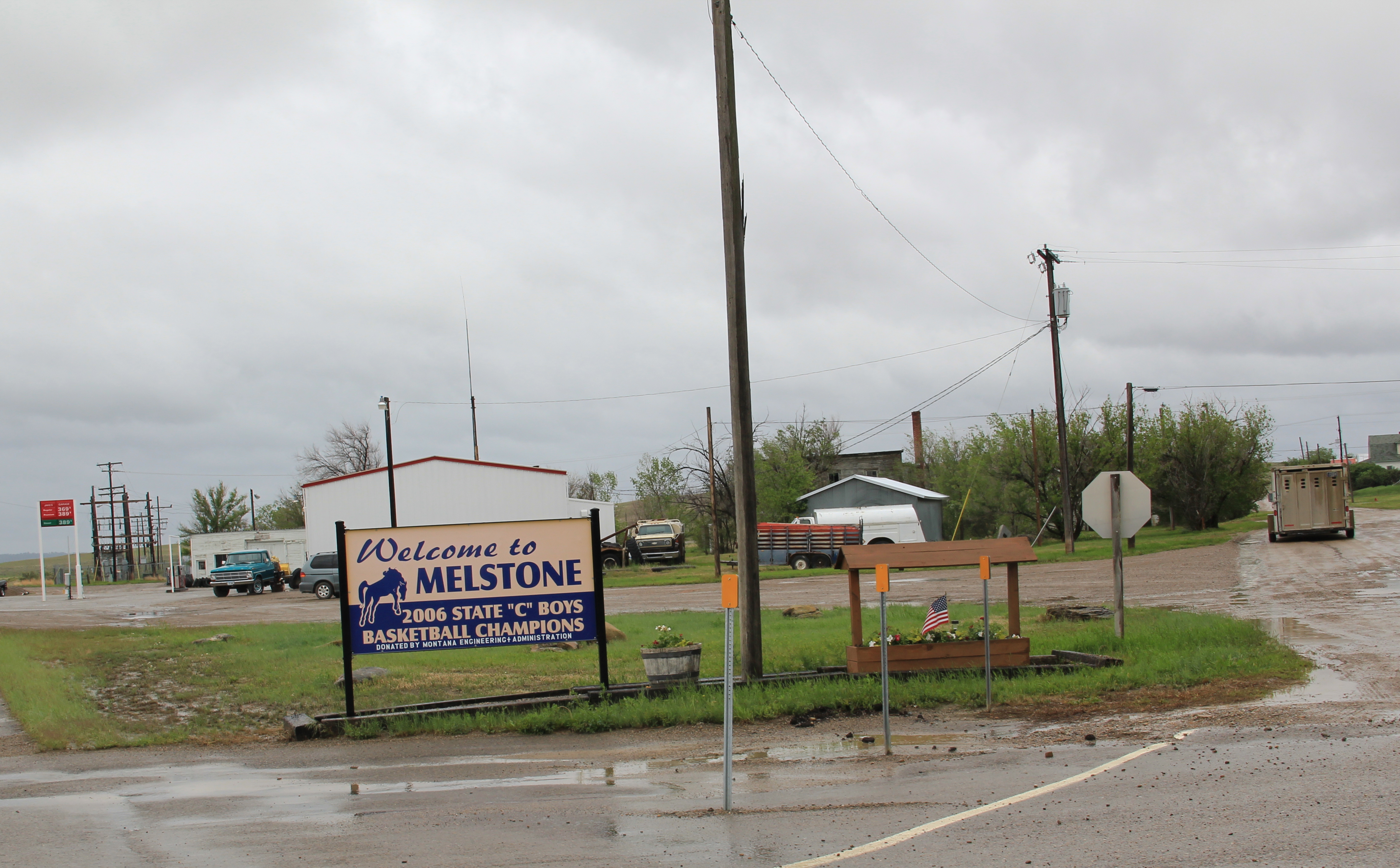
Roundup, the seat of Musselshell County, has long been one of my favorite Montana county seats.  The old 19th century cattle trails are one important defining feature of the eastern Montana landscape; another are the railroad lines that crossed the region.  Here at Roundup, a north-south cattle trail crosses the east-west railroad line,  creating a town environment rich in history.

IMG_0078

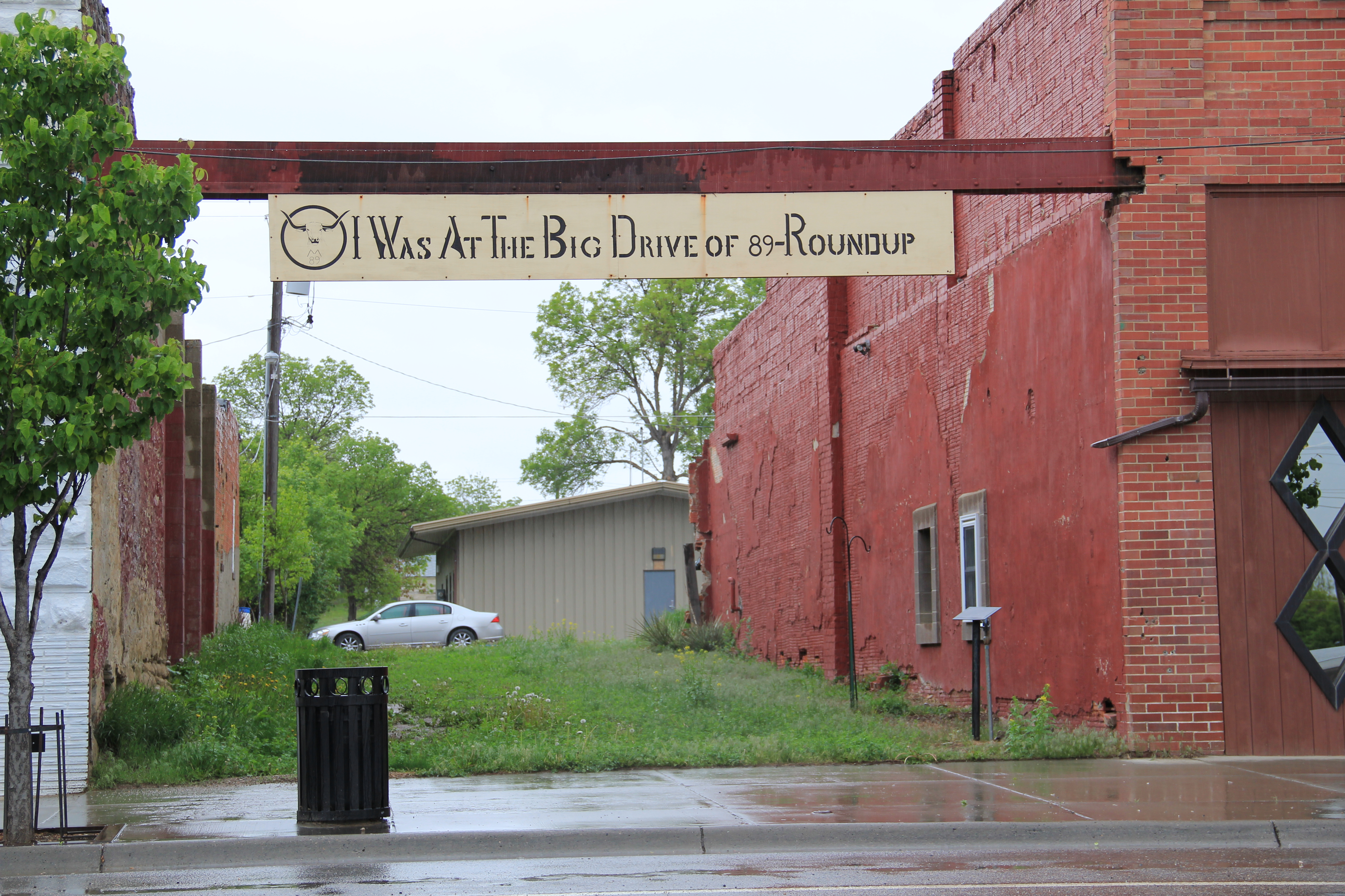
Locals gathered at the town’s several good historic bars–the Arcade being my favorite–are rich in tales of the chaos and fun of early September 1989 when cowboys and pretend cowboys gathered in mass to recreate the “Great Montana Cattle Drive.”  A monument to that crazy day stands next to Roundup’s outstanding New Deal-era courthouse.  Another sign to that time is much more lonely, on Main Street, the old historic route of the trail (now part of U.S. Highway 87). Are you supposed to stand there for a selfie if you rode in ’89?

IMG_0077

IMG_0076

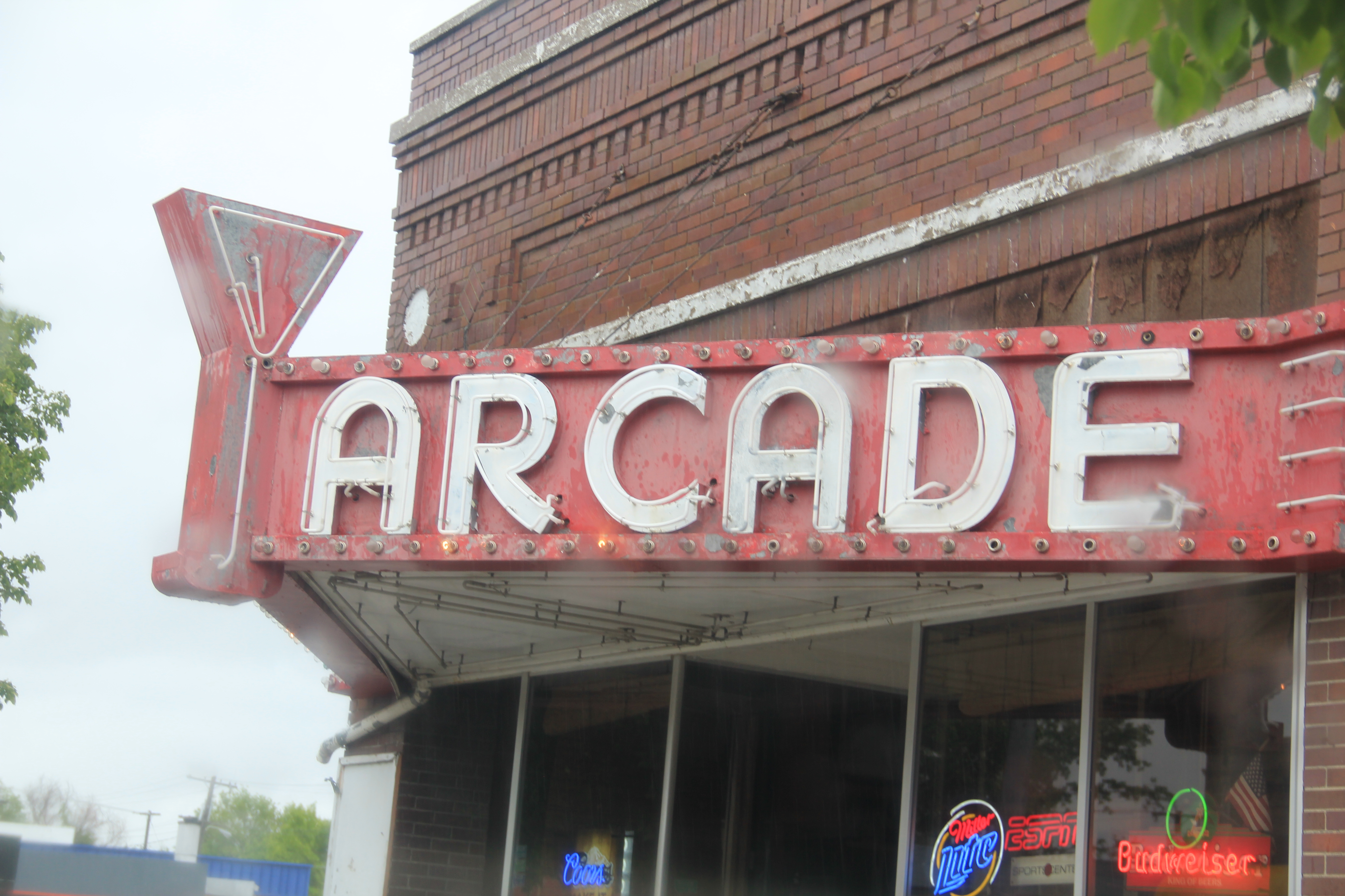
Arcade Bar, Roundup, a real Montana classic

IMG_0057

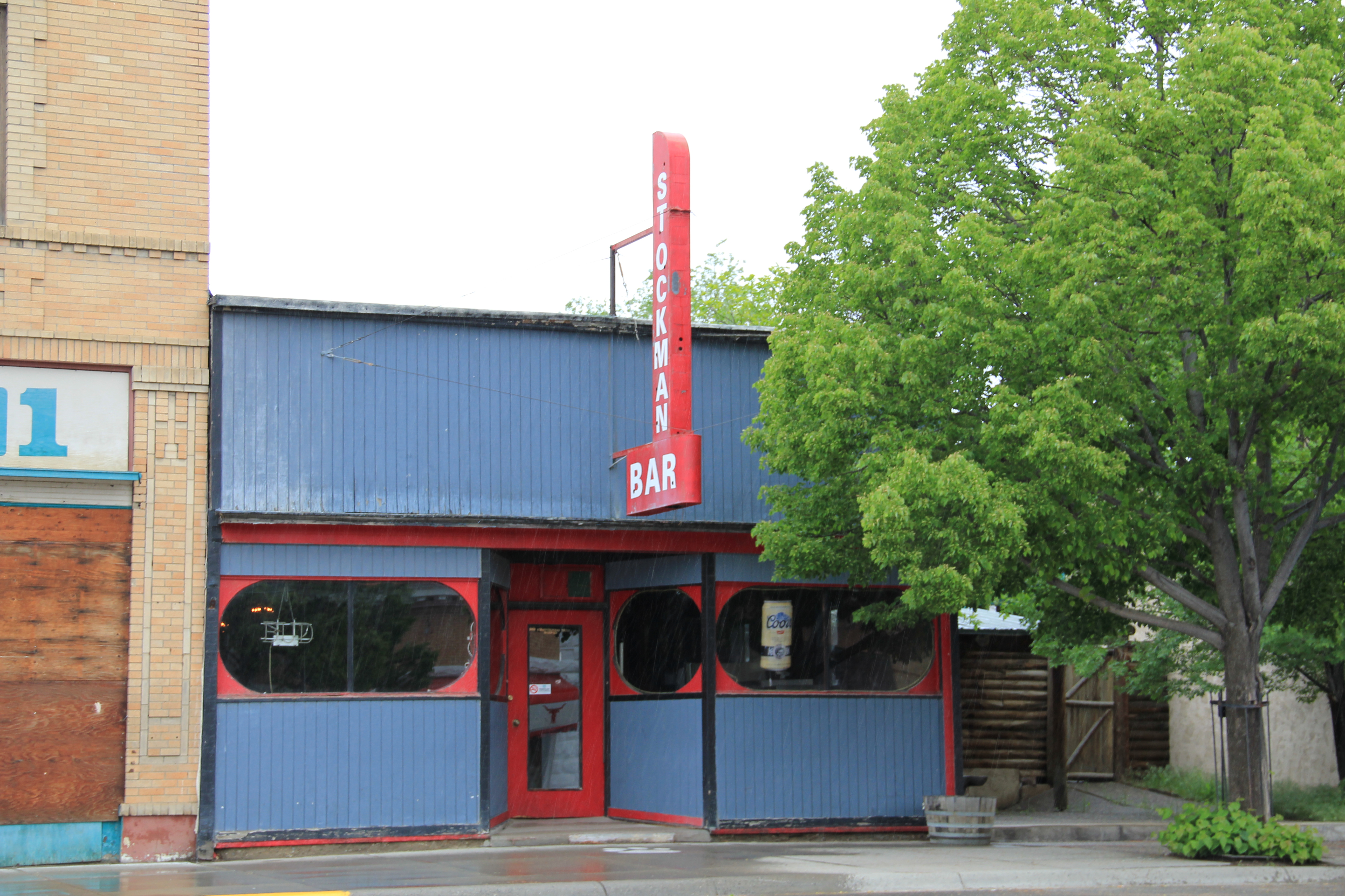
There are so many Stockman Bars in Montana. The one is Roundup has these two great Art Deco-like windows.

The coming of the Milwaukee Road in 1906-1907 created a new look to Roundup.  Like many Milwaukee towns in Montana, it has a T-plan, with the route of the tracks (the rails

IMG_0050

I was glad to see this light industrial adaptive reuse of the Milwaukee depot–it was abandoned in 1985 and could have been demolished.

have been removed since c. 1985) and the location of the depot forming the top part of the T while the stem of the T is the route of U. S. 87 as it stretches to the north.

IMG_0048

U.S. 87 N (Main Street), Roundup

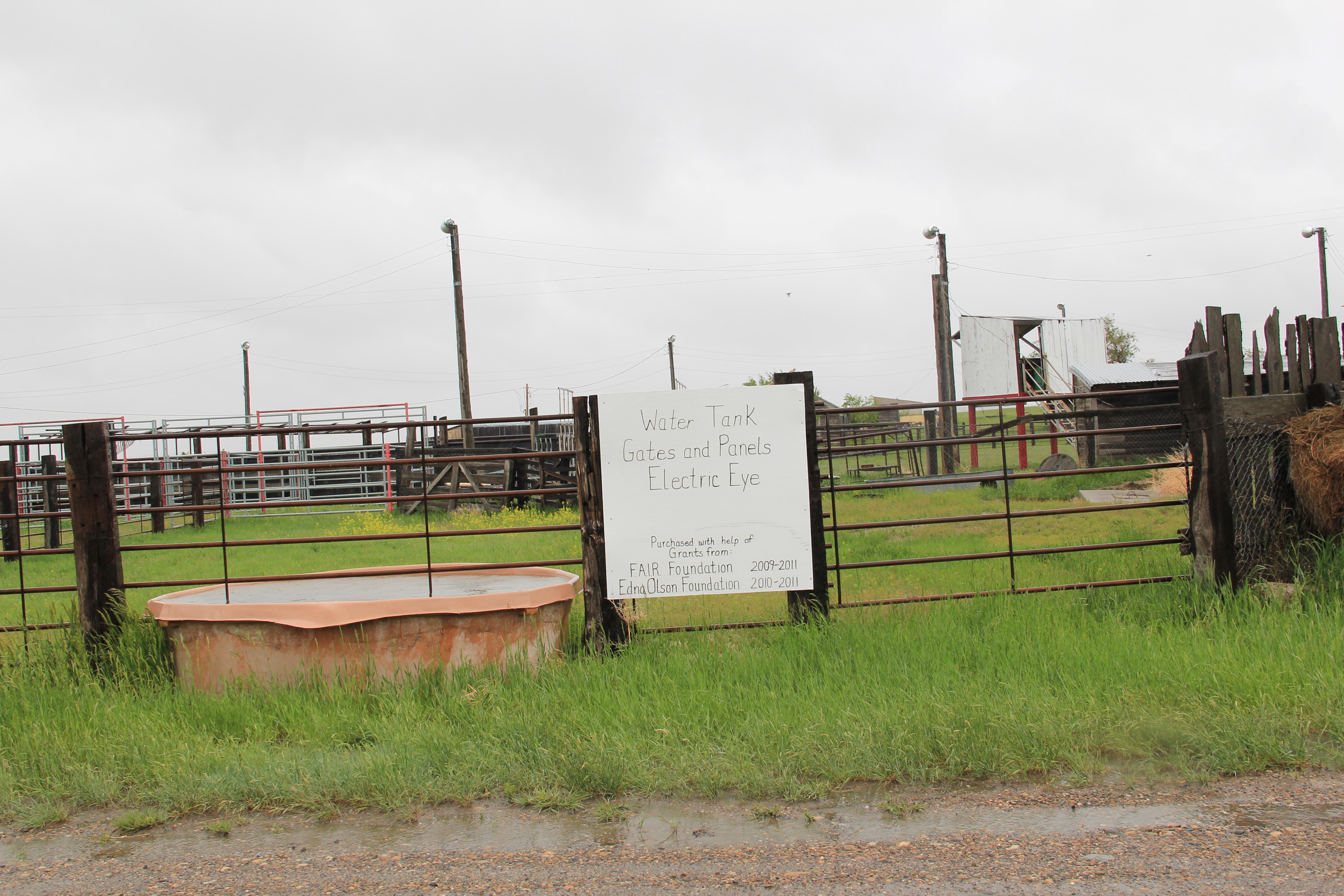
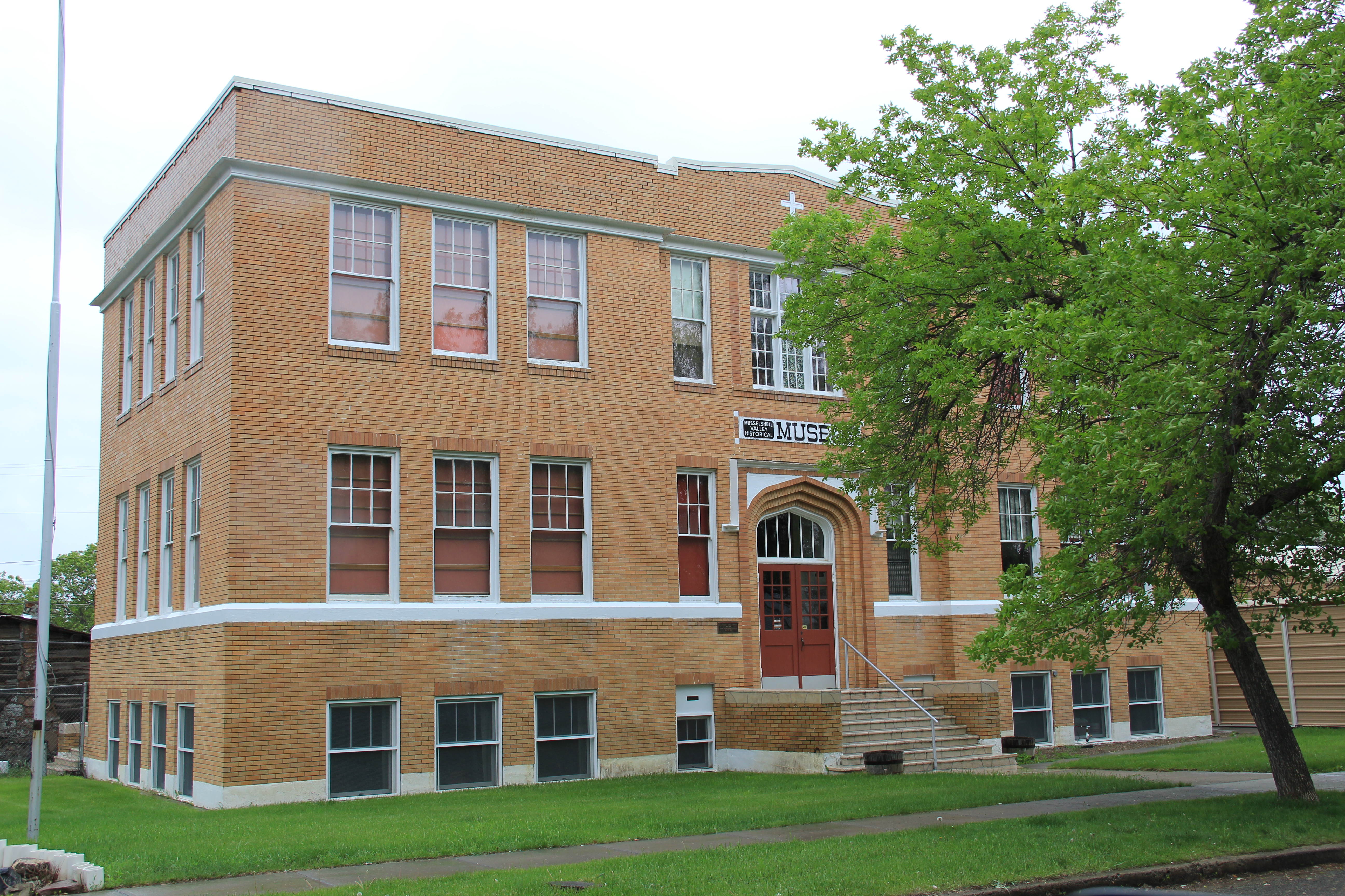
Earlier posts have discussed the town’s contribution to Montana modernism, St. Benedict’s Catholic Church, and the superb Musselshell County Fairgrounds, one of my favorite in the state (and a public property eligible for the National Register IMHO). Roundup has two National Register properties–its two historic schools.  The St. Benedict Catholic School (c. 1920), designed by Roundup’s own John Grant, is now the Musselshell Valley Museum.

IMG_0036

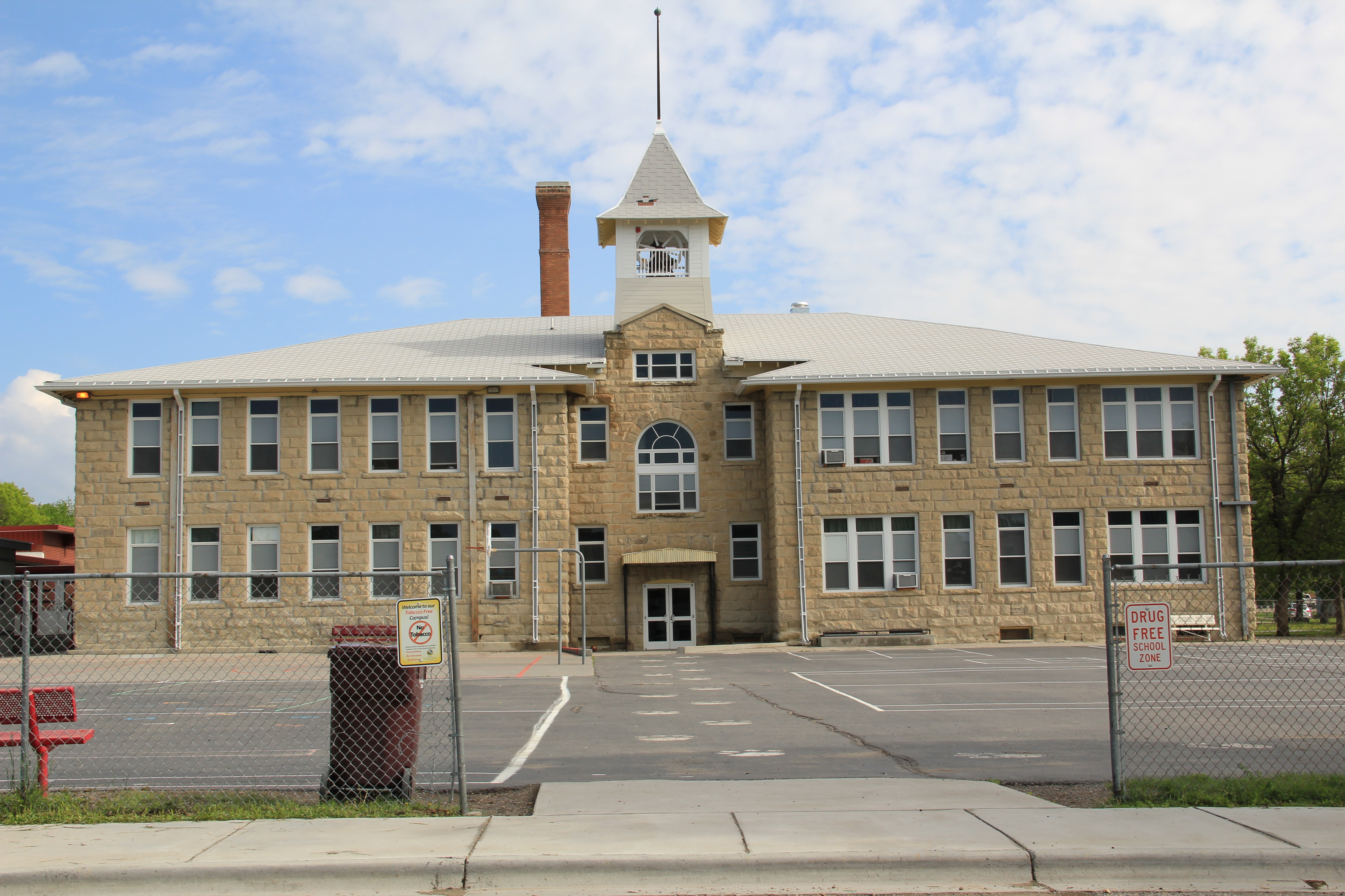
The town’s historic public school, but in two major sections in 1911 and 1913, was designed by the Billings architectural firm of Link and Haire.   It is an impressive landmark, built from stone taken from the bluffs of the Musselshell River Valley, and one maintained with pride by the community.

IMG_0235

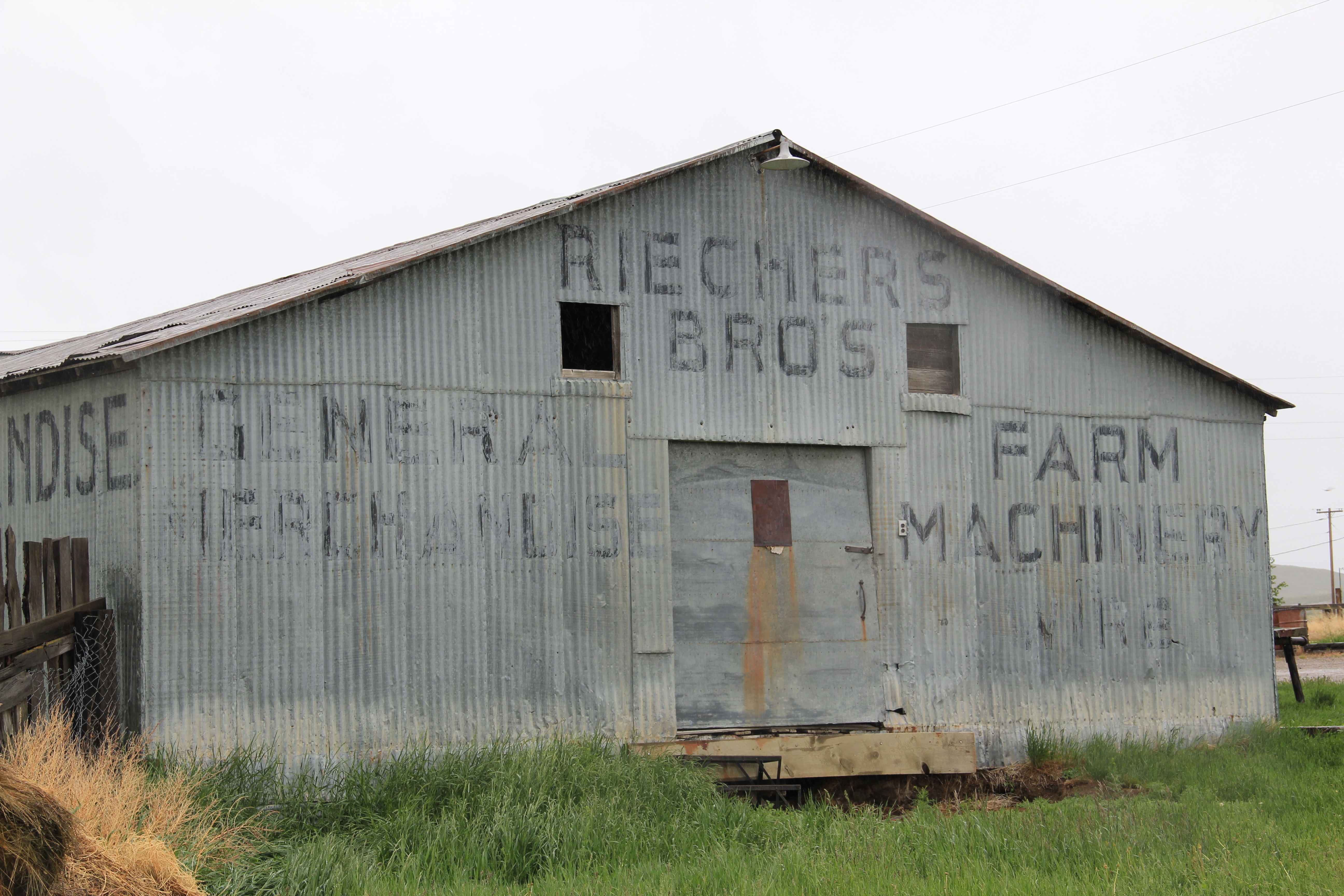
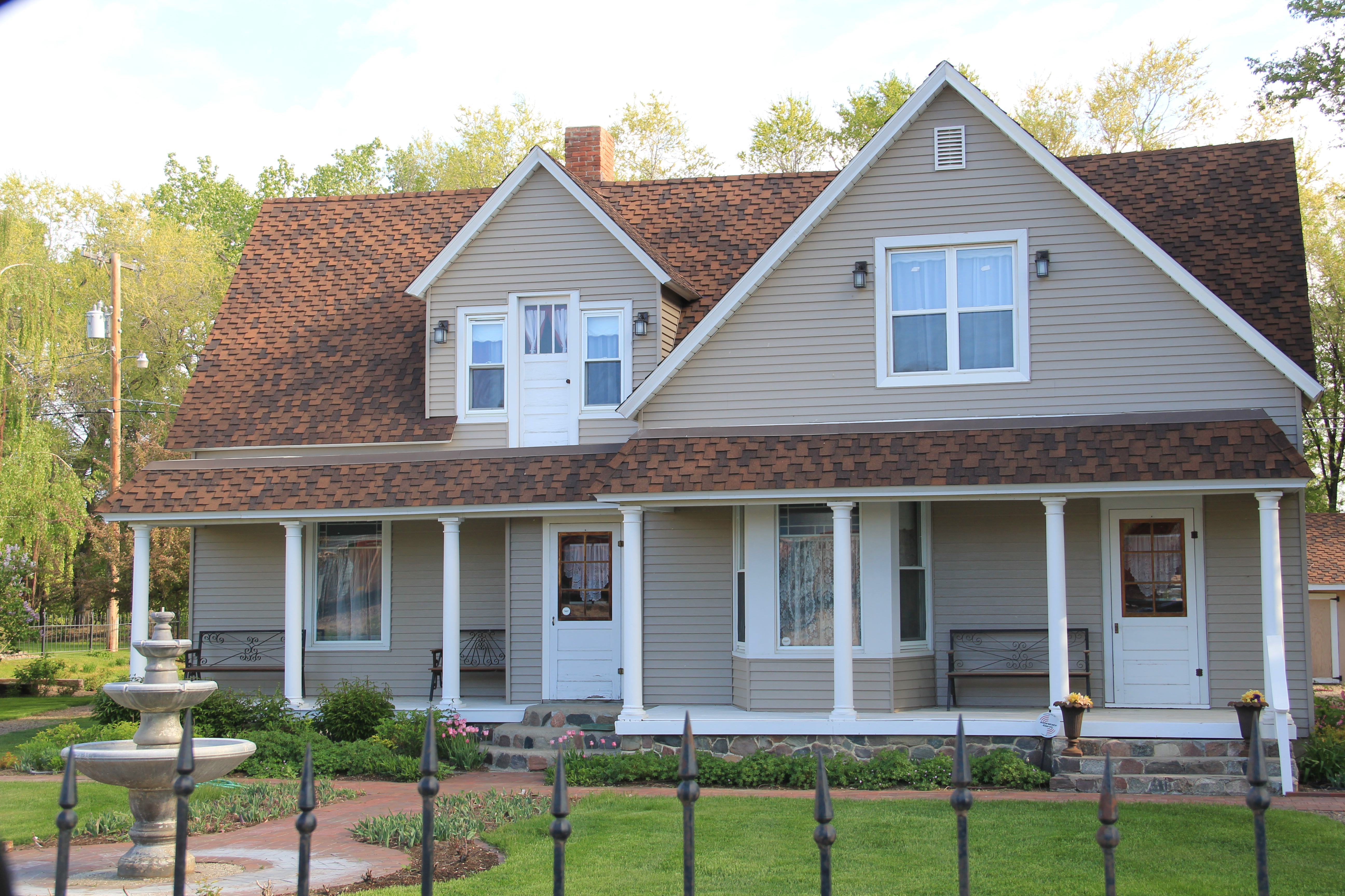
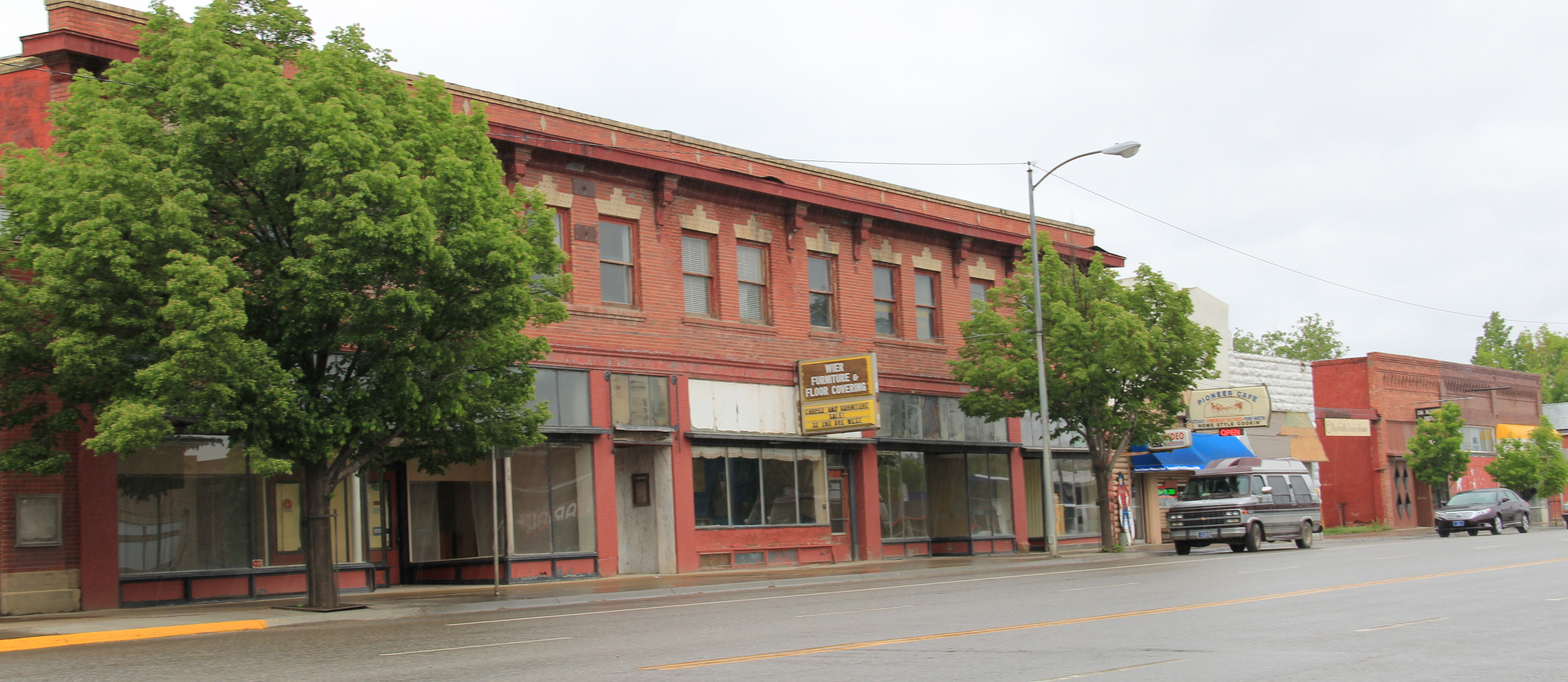
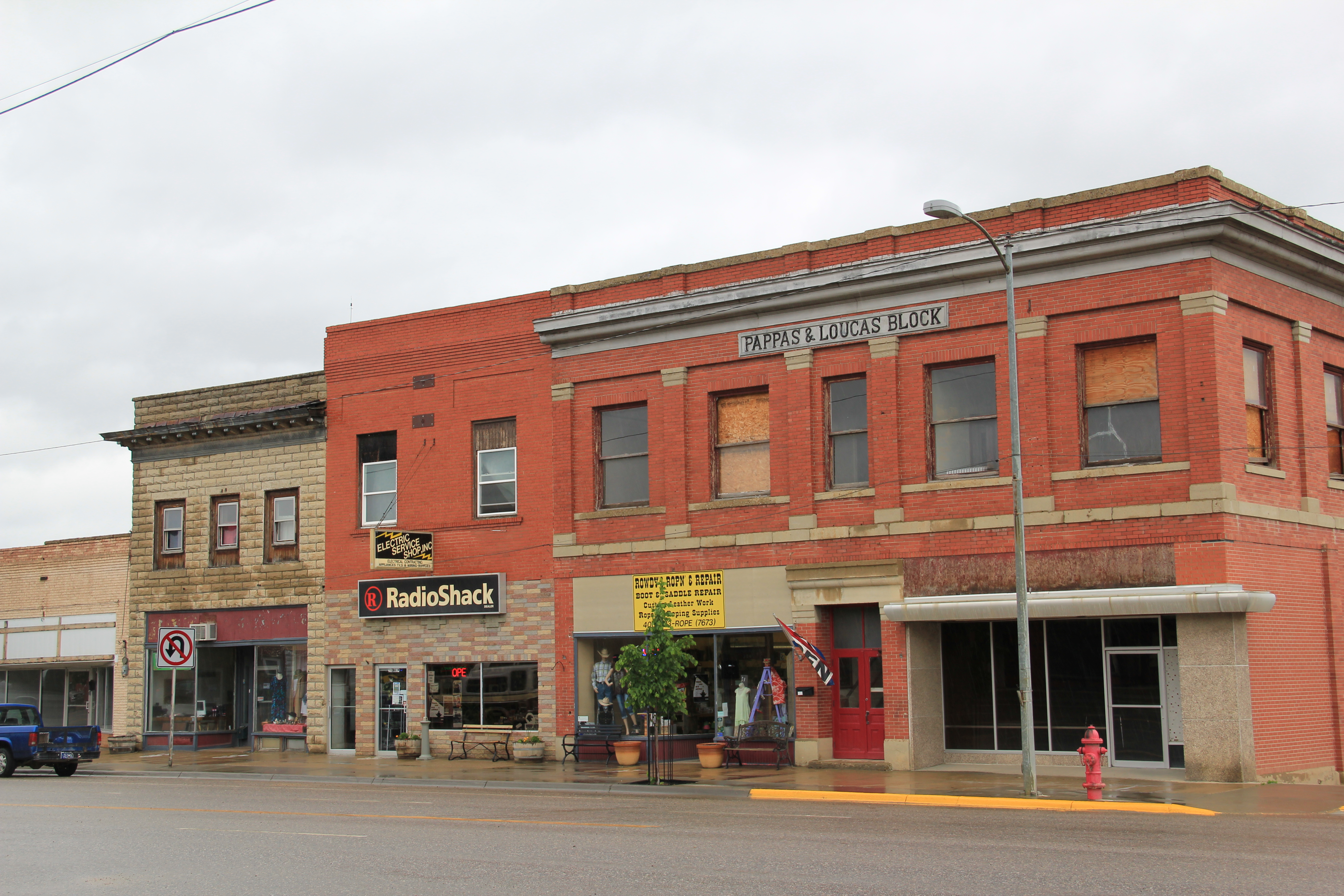
Many historic buildings from the early 20th century line Main Street–naturally many one-story buildings but also commercial blocks of style and substance.  There is also a lot of homes that would contribute to a residential historic district.  Roundup has lost population like almost all eastern Montana towns since 1980 but not by such a severe amount–just over 200 in the last 30 years.  Thus, the town’s historic buildings remain in use and in fairly good condition.

IMG_0063

IMG_0046

IMG_0039

The historic schools in Roundup have been a great start for heritage efforts in Roundup but this quick overview shows that more can be done, to document and preserve this pivotal place in the Musselshell Valley.

The Milwaukee Road Heads into the Musselshell Valley

As the Milwaukee Road left the Yellowstone Valley at Forsyth and struck northwest toward the Musselshell River valley, it created one of Montana’s most classic prairie railroad towns, Ingomar, established in 1908.  The hamlet, with 25 or so residents today, compared to perhaps the 100 who lived around there in 1980 has several historic buildings that document its quick twentieth century rise, and just as quick fall in the 1920s and 1930s depression years.

IMG_6844

Jersey Lily Bar, Ingomar, 1984

In the 1984 survey of Montana, Ingomar really just had one reason to stop:  the Jersey Lilly Bar, owned and managed by Bill Seward, who had done so since 1984.  That spring Seward and I became good friends.  Few people stopped there in February and March and since I was in the region, I found ways to stop in. do coffee (strong, hot, always ready) and have whatever Bill was thinking of cooking.  He was proud of his beans, and liked sliced red potatoes when he had them.  Seward added the faux western wood porch to a 1914 bank building:  he said that the tourists liked it, that it made the otherwise Classical Revival bank look “Old West.”  Until Seward’s death in 1995, I found reasons to visit Ingomar three other times, in a way just to make sure that both Seward and the bar was still going on.  Since the construction of the interstate highway to the south had so killed traffic along U.S. Highway 12, you wondered when the bar would close.

IMG_0115

This former homestead-era bank building, the Wiley, Clark, and Greening Bank, opened in 1914 and closed as a bank seven years later.  In 1933, the height of the Depression, it re-opened as the Oasis Bar (it certainly was that along U.S. 12) and it became the Jersey Lilly Bar in 1948.  Almost seven decades later, it is a well-known landmark on the highway, and was listed in the National Register of Historic Places in 1995.

IMG_0116

IMG_0126

Adjoining the bar, and accessible only through the bar, is another National Register building, the Bookman General Store, constructed as really an act of faith in 1921, replacing an earlier store that had burned.  The prospects for Ingomar was not so rosy by that time but the Bookman family stayed the course–lost the store for two years from 1933-1935–but reacquired it and kept it open to 1943.

IMG_0122

A third Ingomar landmark on the National Register is the public school, which evolved from  a one-room in 1913 to the rambling building you see today, constructed by Neils Hanson of Melstone in 1915.  When I surveyed Ingomar in 1984, the school still operated but closed for good in 1992.  It was converted into a “biscuit and bunk” later that decade.

IMG_0111

Another important historic building is the Milwaukee Road “combination-style” depot, where the passenger and freight service was combined into one building.  Many of these have disappeared along the line since its closure, and too many have disappeared or have been moved since my survey work of 1984-1985.  Ingomar has its depot, converted into a private residence along the now-gone tracks in the 1990s.

IMG_0123

Other historic properties exist, perhaps waiting new futures.  The rodeo grounds stay in use while the Riechers Brothers general merchandise and machinery store building remains standing.  Other structures are barely hanging on.

IMG_0113

IMG_0114

IMG_0109

As travel dwindles and population disappears, you worry about the future of Ingomar.  Their signs and their heritage assets beckon visitors daily but will enough even come by to make a difference?

IMG_0108

Melstone, just west of where the Milwaukee Road crossed the Musselshell River and entered its valley, is another worrisome case.  Its population has dropped to under 100–almost 150 lost since my visit in 1984.  But it still has its school, which is very much the town’s central institution and point of pride.

IMG_0103

Melstone has lost its signature building, the 1912 Antlers Hotel, located on the town’s most prominent corner between its main street, that leads to the school, and the intersection with U.S. Highway 12.

IMG_4071

Antlers Hotel, Melstone, 1984

The location of the Antlers Hotel is now a grassy spot.

The location of the Antlers Hotel is now a grassy spot.

Melstone has a hardware/general store along with Jakes Garage on the highway and the Melstone Bar and Cafe, another classic roadside stop along u.S. 12.

IMG_0104

IMG_0099

Ingomar and Melstone–I understand to most eyes they are dumps, not worth a look–but in my fieldwork they are interesting and valuable, physical signs of the 20th century determination to make rural settlements work, and despite their losses, they are still here some 100 years later.

Glendive: the Yellowstone’s first railroad town

IMG_7244
As the tracks of the Northern pacific Railroad pushed west in 1881, they encountered the Yellowstone River at a place that became Glendive, the Yellowstone Valley’s first railroad town. Here the company located a division point and built offices, roundhouses, and other support structures for the trains moving between the Great Lakes and the West Coast. In 1984 when I came to Glendive for the state historic preservation plan survey, it was not my first visit. A year earlier I had began to work with the Western Heritage Center in Billings as a historian for its first major exhibit on the Yellowstone and its history, an exhibit that eventually was titled “Yellowstone: River of Life.” Glendive as a railroad division point played a key role in that story, and when I first visited the town I enjoyed the fact that a late 19th century depot, standing just off the main line, now served as the local visitor center and Chamber of Commerce offices.
IMG_4084
At that time I saw little outside of the railroad’s imprint on the landscape. Glendive, like many initial Northern Pacific towns, had a “symmetrical plan.” The train tracks cut a path through the town, with a combination passenger station/company office commanding the corridor. On the opposite side of the tracks were housing for railroad workers and machine shops, roundhouses, elevators, etc. associated with the railroad.

Northern Pacific corridor in Glendive

Northern Pacific corridor in Glendive


Facing the depot was the primary commercial street, Merrill Avenue, which later served as the town’s primary commercial artery for U.S. Highway 10 and is now designated as “Business I-94.” The many historic commercial buildings along Merrill Avenue facing the depot and railroad tracks captivated me–the dialogue between local entrepreneurs and the massive international capitalism represented by the Northern Pacific was plain to see.
Merrill Avenue Historic District, Glendive

Merrill Avenue Historic District, Glendive


Clearly this long-stretch of buildings recorded the town’s shifting economic fortunes from the 1880s to the depression era, and was worthy of designation in the National Register of Historic Places, work that has since taken place.
Closed for sometime now, the Lulhaven Bar is a classic example of Art Deco, with its black carrera glass and glass block entrance

Closed for sometime now, the Lulhaven Bar is a classic example of Art Deco, with its black carrera glass and glass block entrance


The Jordan Hotel combines both Art Deco elements and an overall International Style feel to reflect not only the depot across the street but to invite customers into its corner entrance

The Jordan Inn combines both Art Deco elements and an overall International Style feel to reflect not only the depot across the street but to invite customers into its corner entrance


The striking 1960s metal facade of the Rose Theater was layer over an earlier brick building

The striking 1960s metal facade of the Rose Theater was layer over an earlier brick building


IMG_7252
What particularly struck my eye was the different eras of prosperity represented by buildings such as those owned by Henry Dion, a leading early 20th century merchant. Dion built the 1905 brick building above during the boom brought out by the launching of the Lower Yellowstone Irrigation Project. Later, as the railroad expanded its presence with the new passenger station and the federal highway came down Merrill Avenue, an Art Deco layer appeared, making a old building suddenly trendy and “modern.”
In 1984, however, I did not much venture beyond the railroad corridor to understand how the shifts documented in those historic buildings also could be found across the town. Much like the residents I was captivated with the railroad’s imprint–as shown in this wonderful mural of local history, prepared by high school students, and installed in the lobby of the modernist Dawson County Courthouse in 1982.
IMG_4233
IMG_4232
I spoke with the community at the courtroom around the corner one March night in 1984 and we all agreed on what was important. But later trips to Glendive, and the town’s push into historic preservation, quickly convinced me that there was more to tell.

Sheridan County: a forgotten railroad landscape

IMG_7450
In the past posts I revisited the two Daniels County towns at the “end of the line” of a spur line constructed by the Great Northern Railway in the early 1910s as a way of countering the push into northeastern Montana by the Soo Line at the same time. These attempts at railroad expansion and town building took root during the homesteading boom of that decade. Now with depots gone and residents drifting away, the old railroad corridor as it stretches from Opheim on the west end to its junction with the main line at Bainville, takes on the appearance of a ghost line, attested by the image above from Homestead and the one below from Reserve,both in Sheridan County.
IMG_7473
At the rough mid-point of this spur line lies Plentywood–rather forsaken spot I thought in 1984 but a town now actually facing too much growth, too fast as the need for residences and space for the thousands of Bakken oil field workers seeps into northeast Montana. In 2013, the impact on Plentywood and Medicine Lake to the south was apparent as this just opened man camp at Medicine Lake shows.
IMG_7458
Plentywood was of considerable interest to me because once the initial homestead boom turned to disaster in Sheridan County by the time of the Great Depression, there was a local movement to create a communist party. This story was known in 1984 but now we have full accounting due to the research of Sheridan County native Verlaine Stoner McDonald in her book The Red Corner (2010).
IMG_7492
IMG_7491
Plentywood has a classic T-plan town, with its depot and huge grain elevators defining what was the head of the town–and then a long “stem” of the T, where first came the commercial district, then a residential district, and finally at the “bottom” of the T: the county courthouse.

Plentywood's T-town plan, looking from the courthouse

Plentywood’s T-town plan, looking from the courthouse


This arrangement of space spoke to the railroad’s concern for safety and efficiency: T-plans moved traffic and pedestrians off of the tracks. But when the Works Progress Administration built the understated WPA Modern-styled courthouse in 1937, placing it at the end of the town, you also had a classic statement of where power lay in these plains country towns. The railroad stood at the head; at the end of the town was the seat for local politics.
IMG_7497
In 1984 another interesting arrangement of space I noted in Plentywood was how three different banks stood on three of the four corners of the town’s most prominent crossroads, where Montana Highway 16 crossed the main street. The banks are still there with the stone-work of the historic Adolph Riba bank (built by Henry and John Hill from the village of Raymond to the north), making it a prominent landmark.
IMG_7509
The impact of the regional oil boom on the public landscape is most evident in new schools and the new library, attached to the historic courthouse, changes I didn’t expect to find in a town that had lost 700 residents from the 2400 or so who lived there in 1984.
IMG_7500
I was especially pleased to see the town’s historic movie theater, the Orpheum, which stands adjacent to the “top” of the T, still doing well. It was rare to find a small town movie theater in 1984, even less common today. Plentywood today is more than the historic center point of a neglected railroad corridor; it lies in the center of the changes coming to the region out of the 21st century oil boom of the northern plains.
IMG_1680
IMG_7520

Montana’s Malta: More Travels along the Hi-Line

Phillips County is one of my favorite places along the Hi-Line. The Milk River Valley is beautiful; the high plains at Loring and Whitewater are lonesome yet compelling. Empty I guess is how many would describe the county as just over 4250 people live there–in a county of 5,212 square miles.

Image

Loring Hall in 1984

But the diversity of the landscape is memorable. The southern tip of the county is the gateway to the Charles M. Russell National Monument, truly one of the great national parks that few people know about but home to some of most overwhelming views of the Missouri River. North of the Missouri are the southern end of the Little Rocky Mountains and the old mining towns of Zortman and Sandusky.

Image

Abandoned cabins at Zortman, 2013

I have already written about the two Hi-Line towns on the west end (Dodson) and the east end (Saco). Now it is Malta’s turn. When I visited there in 1984 little did I know that Malta was at its population peak.

Image

The 1980 census counted 2,367 residents–never had the town had that many people, and judging from the last three decades, that number is never returning: the population is now under 2,000. The 1980 as a peak population decade–not common among Hi-Line towns, but that wasn’t all that set Malta apart from what I encountered east or west.

Vibrant community institutions anchored the town. The neoclassical Phillips County Courthouse (1921) served as the foundation for the east end residential neighborhood. Designed by Great Falls architect Frank E. Bossout, the red brick courthouse reflects a more restrained expression of the popular classical revival movement, especially compared to Bossout’s earlier more flamboyant Beaux-Arts design for the Hill County Courthouse (c. 1914) in Havre. (I wish they would remove the vines–not good for the bricks.)

Image

Nearby was the Carnegie Library, which had been recently converted to serve as a county museum. In 1984 the community was quite proud of the place, recently (1980) listed in the National Register of Historic Places.

Image

Now the museum has moved to new quarters, the Phillips County/ Great Plains Dinosaur Museum, on U.S. Highway 2, where dinosaurs are the primary attraction moreso than local history after a major nationally-noted dinosaur discovery happened in the county in 2000. Yet the town has preserved a notable local house, the Victorian-style H.G. Robinson House (1898), nearby the new museum and there in a domestic setting the town’s early history and settlement is interpreted. The new highway historical/cultural institutions are improvements–but have come at a real cost: a crumbling Carnegie Library, the town’s only National Register-listed property that needs help, now.

Image Image

Another community institution was the Woman’s Club of the late 1930s, a Rustic-style building that has been discussed earlier in the blog, as part of the institutions that spoke to women’s history that I missed and could not “see” in 1984. But it was also one of three major New Deal buildings that missed–the others being the two-story brick WPA-constructed City Hall and the massive brick “Old Gym” that once served the high school.

Image

Image

Malta also had its share of schools and churches, although again I did not “see” in 1984 the beauty of the contemporary-styled St. Mary’s Catholic Church from c. 1960.

Image

Malta’s business district is the classic T-town type of design found all along the Great Northern line. It too had its anchors: massive grain elevators and grain storage bins, along with the Arts and Crafts styled Great Northern passenger depot, defined the top of the “T”.

Image Image

Once you took the New Deal-era underpass to go under the tracks, there was the neoclassical First State Bank introducing the “stem” of the T and several blocks of businesses: two movie theaters (both closed now unfortunately) and an Art Deco-styled auto dealership being particularly notable buildings.

Image


Image

Although it was in rough shape Malta also had its railroad/highway park (Trafton Park) on the north side of U.S. 2, where the original U.S. Highway 2 passed using a steel Parker through truss bridge to cross the Milk River.

IMG_8224

Nearby was a railroad bridge allowing Great Northern passenger trains to do the same.

Image

Malta, Great Northern Bridge over Milk River, 1984

The town also had its own rodeo grounds, tucked away next to a historic livery stable at the corner of N 2nd Street and N 2nd Avenue. The Maltana Motel–even in 1984 it struck me as a classic 1950s motor court–was the place to stay then, and now. It is one of the few survivors of the “Mom and Pop” roadside abodes I enjoyed in 1984 along the Hi-Line.

Image

Malta has many potential National Register listings–as the many photos here suggest. And all of these heritage assets could be a valuable foundation for new visions and investment. The community is keeping the buildings in use and in general decent repair. But you worry about the future–if the town’s recent trend of population decline continues.