The “new” UMW cemetery refers to the southern section of the cemetery, nestled in the bluffs of the Bull Mountains outside of the historic coal mining town of Klein. The UMW local 2866 operated from 1919 to 1973. The northern section contains early burials of members.
The “new cemetery” has numerous burials from the late 1920s, 1930s, and 1940s but most of the internments date to the second half of the 20th century.
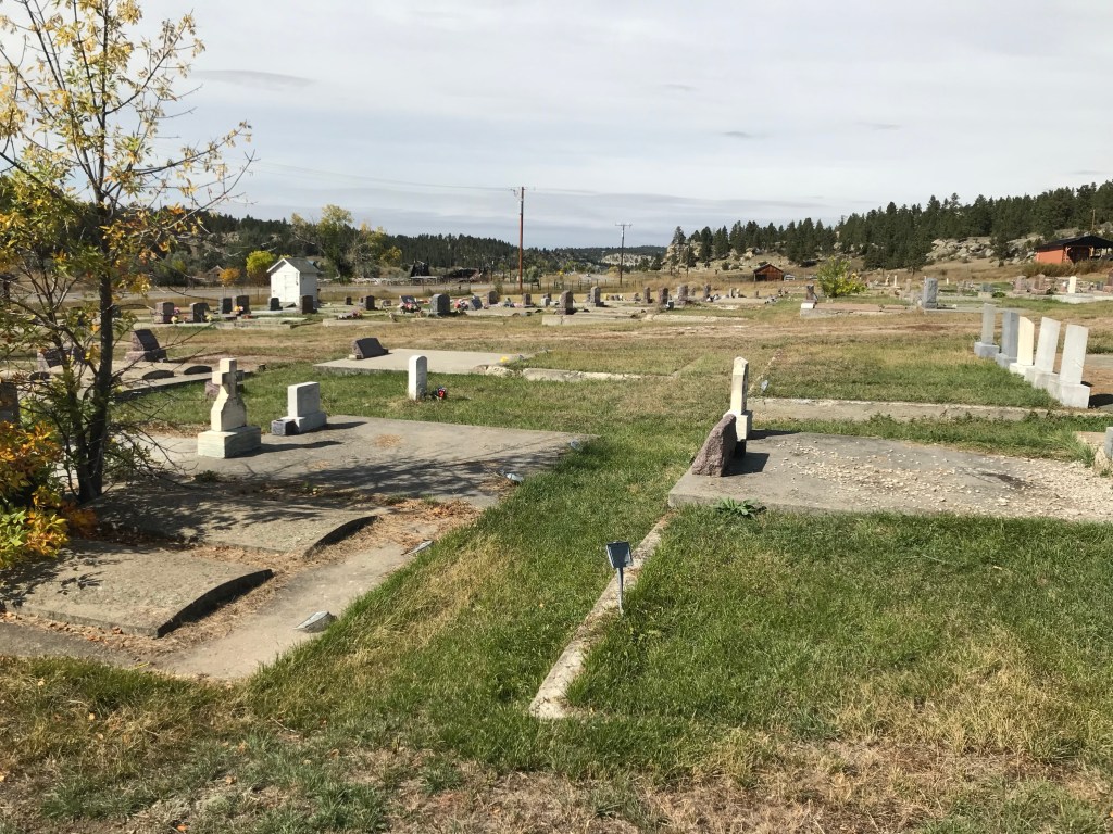
The cemetery faces west (US Highway 87) and is centered on a long driveway that ends at a flagpole. Then the rows of graves on either side are roughly equal in size, giving the “new” cemetery a sense of symmetry not apparent in the earlier north section.
Looking northwest from the center drivewayLooking northwest from the center drivewayLooking south from the center drivewayLooking southwest from the center driveway.
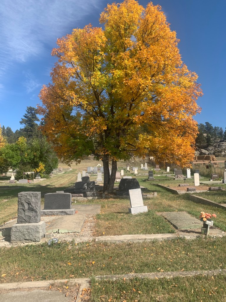
The cemetery’s rocky bluff setting, combined with colorful fall trees, is beautiful in September and October. It’s use of foliage and shade is another difference with the northern section of the UMW Cemetery.
South section facing eastSouth section facing southeast
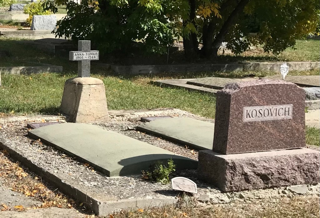
There are several interesting grave markers. Anna Tomko (d. 1944) was born in Croatia in 1866. She arrived in the United States in 1901 and was leaving in Roundup by 1920 where she became known as Annie Tomko.
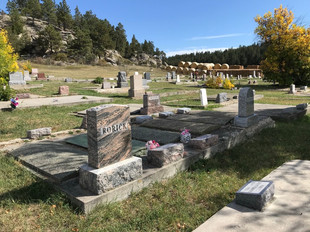
The beautiful cut and polished stone marker for Carl Eldon Rorick dates to 1941. Rorick was a native of Klein and only 17 years old at the time of his death.
The large grave marker for Mary (b. 1872) and David Murphy (b. 1870) dates to 1942; she died in January while he died in December.
David was a native of Scotland, who was working as a coal miner at Klein at least by 1920. He married his wife Maggie (Margaret) McCann Murphy in about 1892.
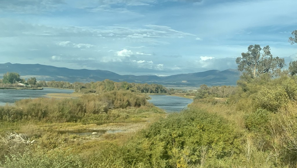
When I lived in Helena from 1981 to 1985 one of my favorite jaunts was along U.S. Highway 12 from Townsend to Roundup. It remains so today, 40 years later. My initial interest centered on railroad corridors. Helena to Townsend followed the Northern Pacific Railroad and a good bit of the Missouri River (now Canyon Ferry Lake).
Northern Pacific bridge over Missouri River near TownsendMissouri River and Canyon Ferry valley near TownsendMissouri River campground near Townsend
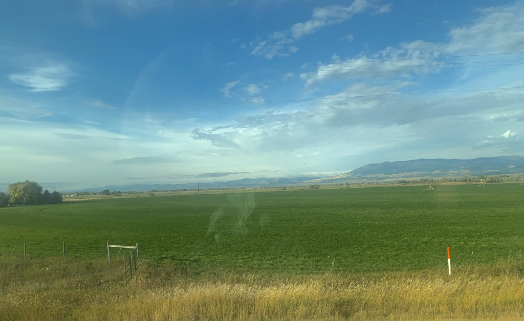
It was a brilliant day with fall colors just popping as we left US 287 and turned into the heart of Townsend.
As soon as you leave town to the east you encounter a lovely mix of ranches and irrigated fields until you thread your way through a national forest along Deep Creek.
Fall colors along Deep Creek
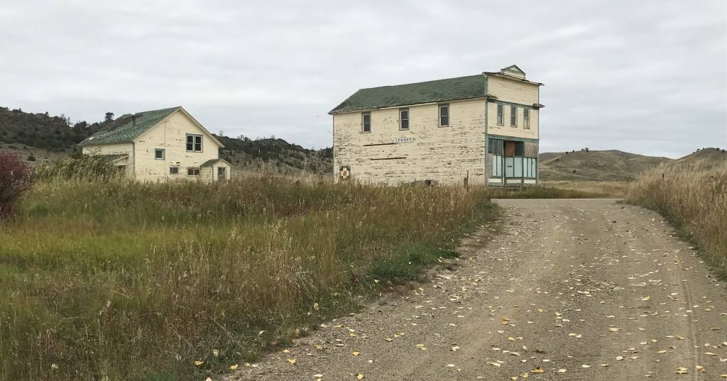
We decided to continue east by briefly jumping off US 12 and go to Montana 284 so we could follow the Milwaukee Road corridor from Lennep to Martinsdale where we would reconnect with US 12. Two of my travelers had never been to the Milwaukee Road “ghost town” of Lennep. It was a beautiful morning to be there.
Milwaukee Road powerhouse
You first realize that this abandoned railroad corridor is different when you encounter an electric powerhouse—the Milwaukee Road’s tracks were electrified from Harlowton Montana west to Idaho.
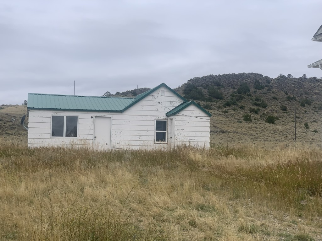
Lennep
At Lennep the landmarks remain—the Trinity Lutheran Church, the store, the school, a teacher’s cottage and an early notched log house—but all were a little worse for the wear compared to my last visit 10 years earlier.
As we traveled east that morning we quickly moved through the county seats of Harlowton and Ryegate to get to Roundup by lunch. The Musselshell Valley was brilliant even as signs of the old railroad almost disappeared.
Near Ryegate Near Lavina
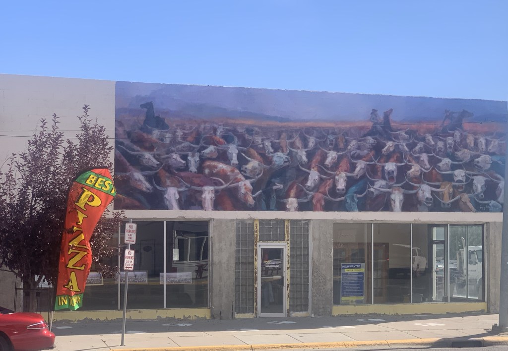
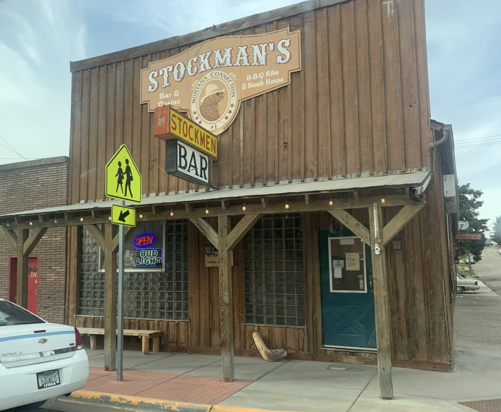
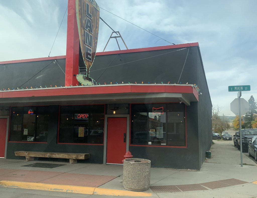
Roundup continues its renaissance with new businesses and restored buildings. The town core, clustered around the intersection of US highways 12 and 87, was busy on a fall weekend.
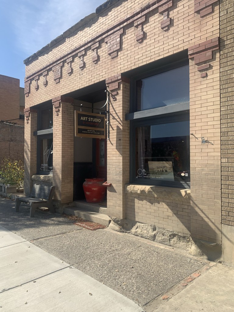
A mural on the great cattle drive of 1989The Backporch—great bbqNew mural at the KegArt studio doing wellAwaiting its renovation Community green spot
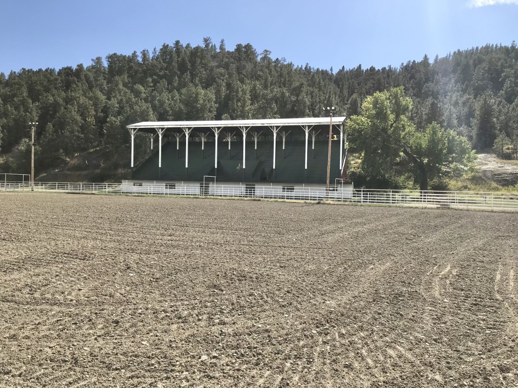
As I observed a few years ago Roundup residents worked together and created a plan—and the place continues to work the plan, from the adaptive reuse of its historic stone school to the careful stewardship of its historic fairgrounds. It’s impressive.
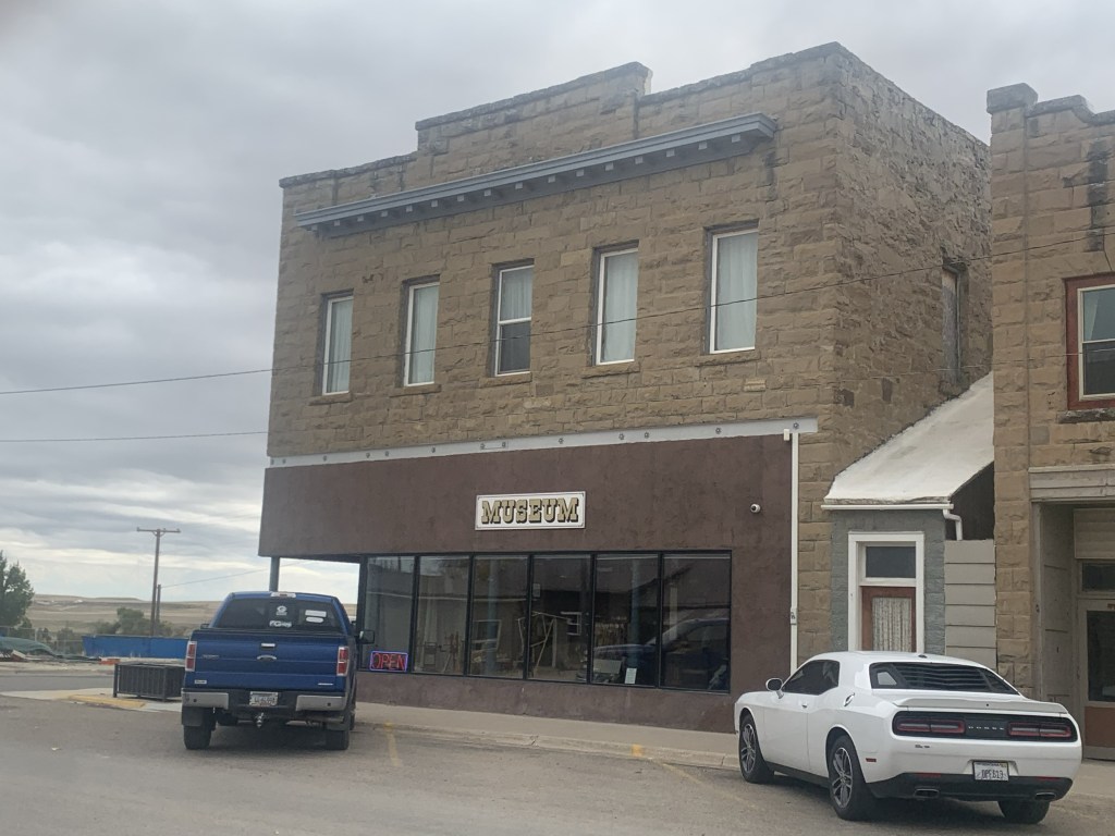
After Roundup we stopped at two county seats on the return to Helena. Harlowton was rocked by the closing of the Milwaukee Road over 40 years ago. It has struggled to reach the economic comeback achieved at Roundup. But the historic stone buildings have great potential. Three of them are now part of a large museum complex.
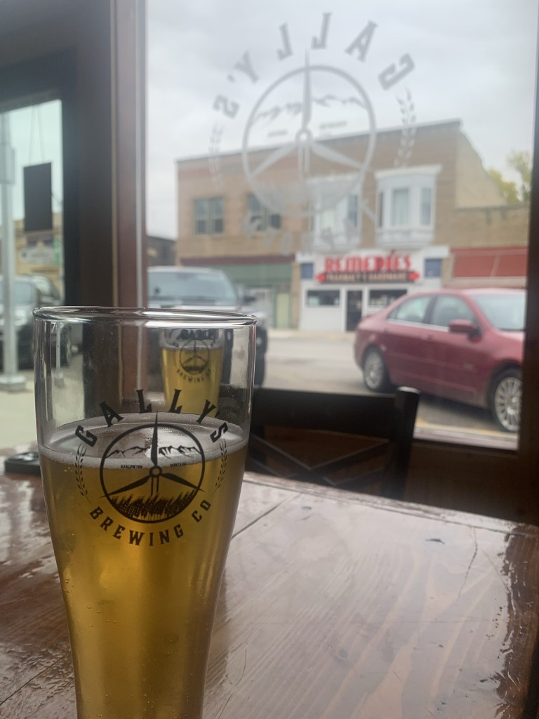
Then there’s the newcomer: the Gally’s microbrewery and pub, housed in the 1913 Montana Block.
It’s a great place for local beer and good conversation—and maybe the start of something good for the town.
US Highway 12 was torn up for major repairs when I last visited White Sulphur Springs last decade. The improvement along its population growth and the ever expanding hot springs gives the place a new look, reflected in new catchy fronts to local bars along with new businesses such as a huge Town Pump.
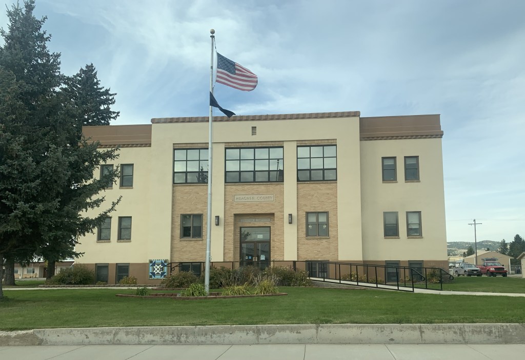
But historic White Sulphur Springs is doing ok too: the New Deal constructed Meagher County Courthouse is still a roadside landmark while the old railroad corridor, just west of the Hot Springs, remains, awaiting its rebirth.
These places are mere highlights along a historic route that’s worth a drive anytime in the fall.
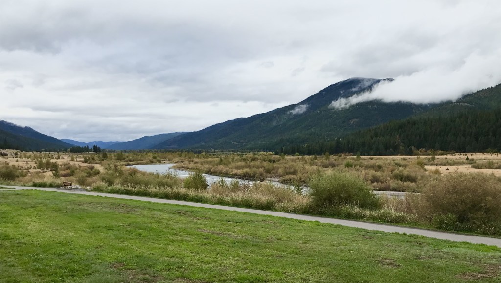
When I last explored Bonner and Milltown in 2015, the effort to reclaim the river landscape created at the confluence of the Blackfoot and Clark’s Fork rivers—but long hidden by past industrial uses—was underway but far from finished. At the end of September 2023 I was able to return to the park and see the transformation myself. It is a quite remarkable super-fund project that restored a natural landmark but also told a significant historical story.
At the confluence section of the park, the removal of the dam is now 15 years old and while you can still visualize its location, to many it must look like a place that hasn’t changed in decades.
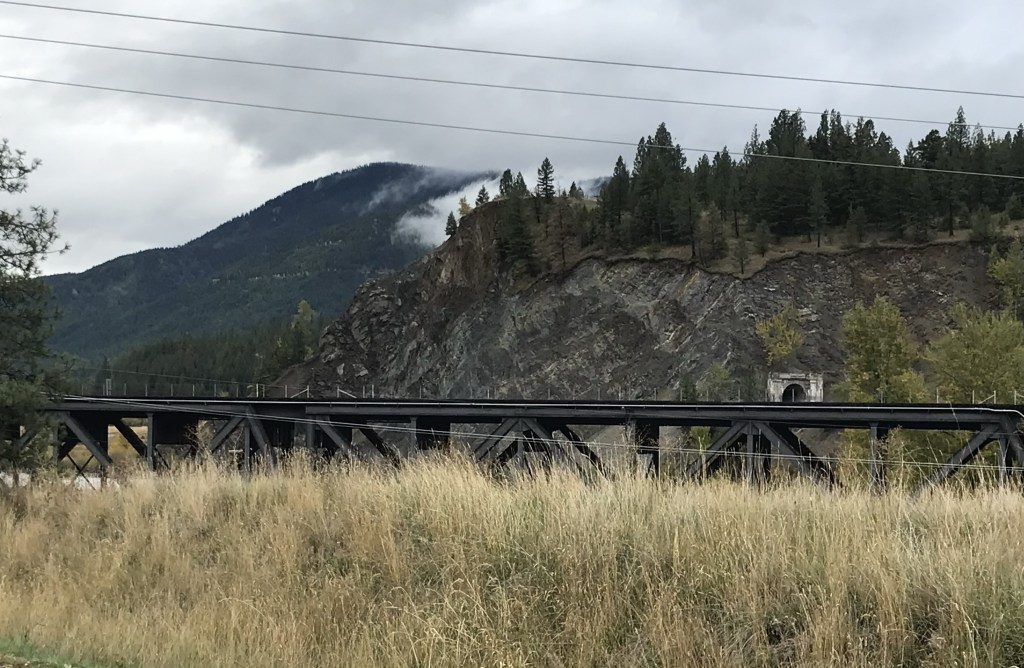
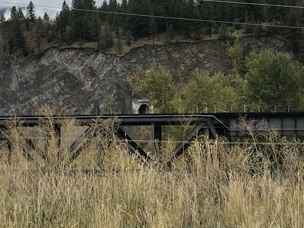
The interpretation kiosk relates the changes well but I like how the park is not inundated with markers. Paved trails take you everywhere, and give you an up close but safe way to view the steel bridge of the Northern Pacific Railroad’s mainline along with the nearby but now abandoned tunnel for the Milwaukee Road.
Talk about a transportation crossroads for the Mountain West—still a great site from the Milltown Bridge where you have bridges for Montana 200, the Interstate and the two railroad lines easily viewable from the pedestrian bridge.
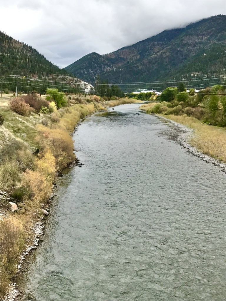
Trails that link the pedestrian bridge to the river were not complete in 2014 but now they are finished and give you another opportunity to go to the Blackfoot river bank.
Milltown State Park is a remarkable historical landscape, whether you explore by hiking, biking or by boat.