Modernism in Glendive

My last post on Glendive, the primary commercial and transportation center of the Lower Yellowstone Valley, looked at the Northern Pacific Railroad’s imprint on the town. :et’s shift focus into the early 20th century, when the automobile corridors–the Yellowstone Highway or U.S.Highway 10–began to leave their marks on the town.

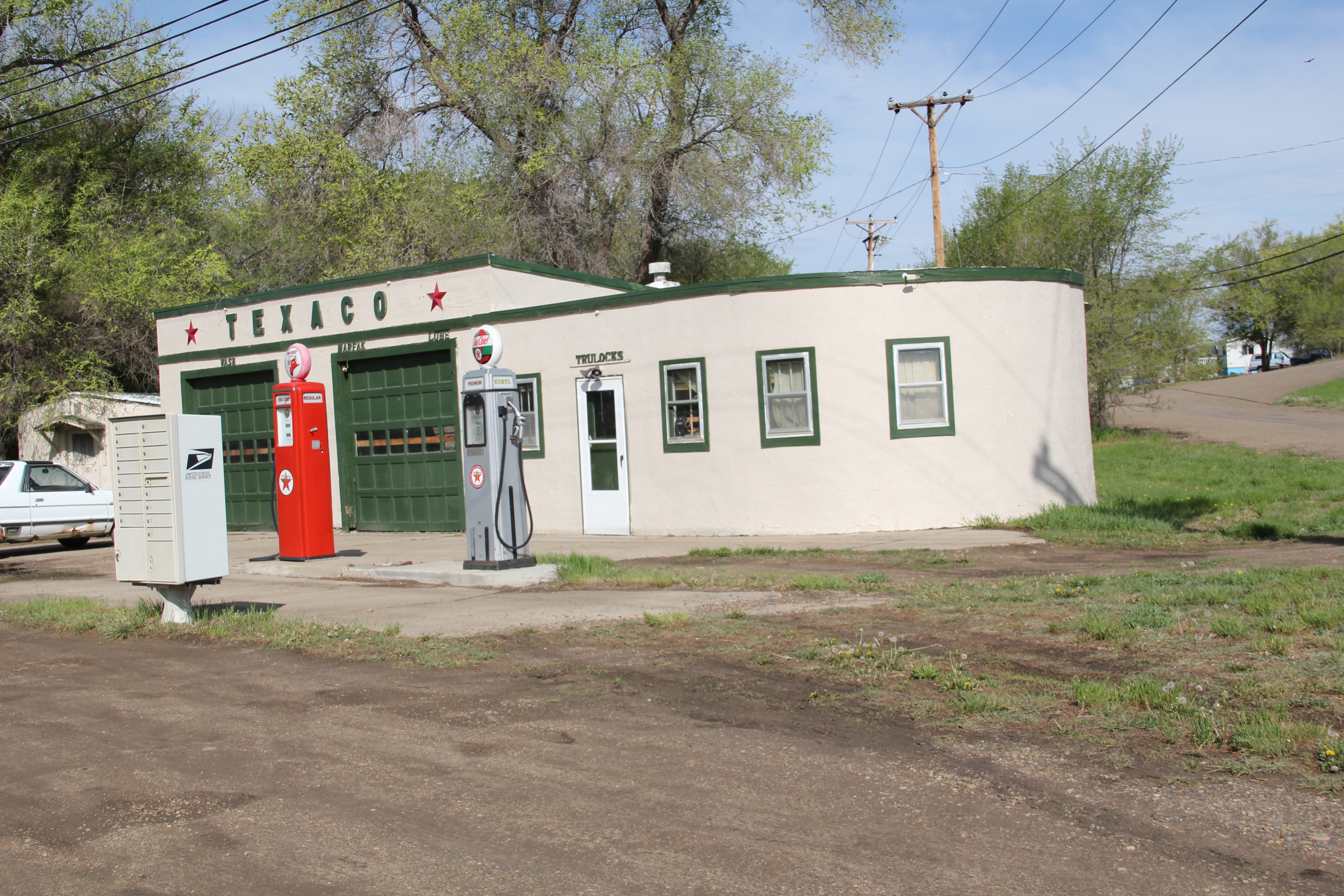
Historic Texaco Station in Art Moderne style, Glendive , MT

Historic Texaco Station in Art Moderne style, Glendive , MT


IMG_7213
As the Yellowstone Highway left town and headed west, two outstanding examples of roadside architecture survive, the c. 1930 Art Moderne-styled Texaco gas station, complete with a small motor court for lodging in the rear, and a later historic drive-in, Frosty’s, complete with the low canopy typical of the early non-standardized drive-in establishments.
IMG_7215
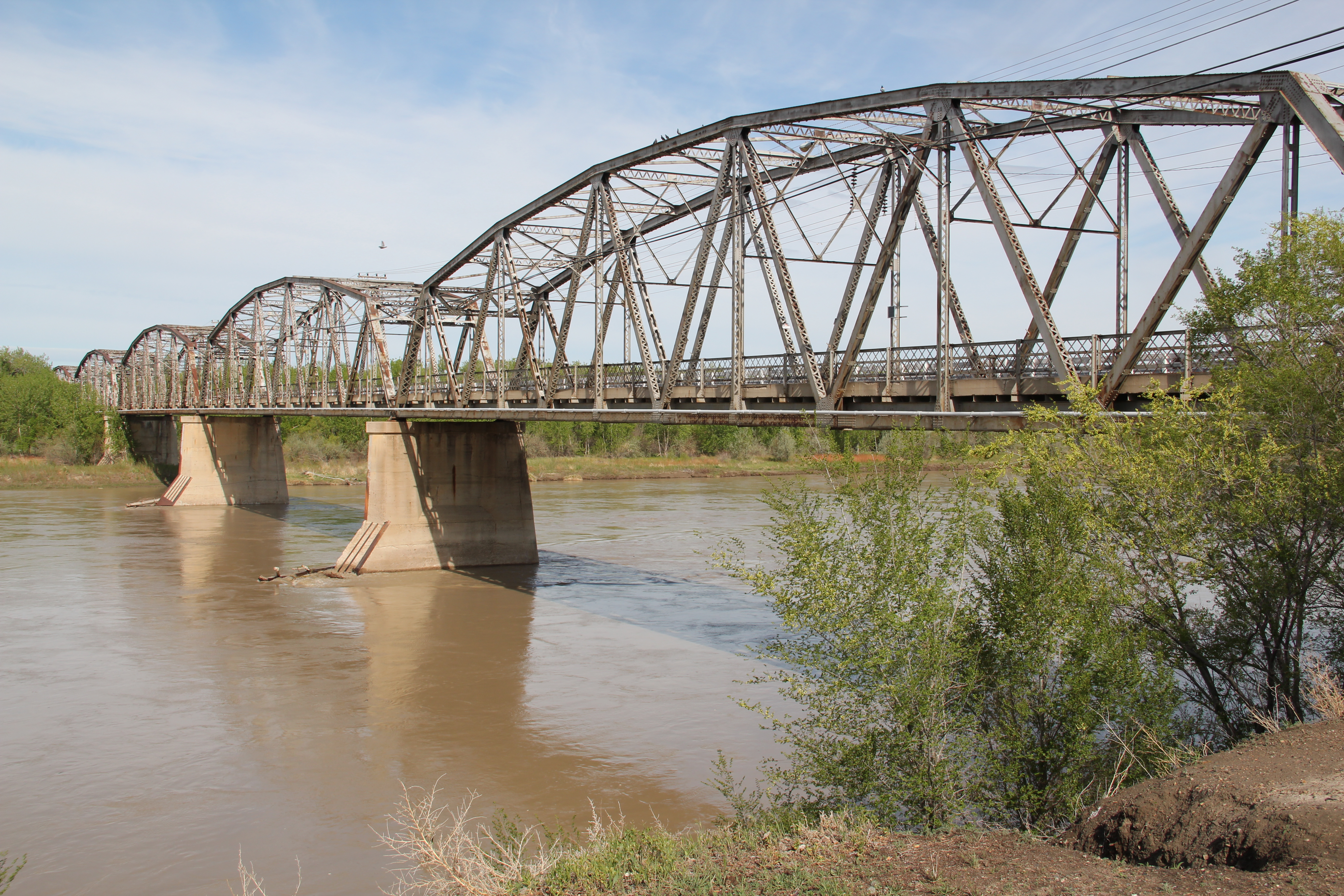
Also feeding traffic into the heart of Glendive was the 1925 Bell Street Bridge over the Yellowstone River. This National Register-listed bridge was once a gleaming steel and concrete landmark of modern transportation; it continues to serve the town as a pedestrian bridge.
IMG_7220
IMG_7224
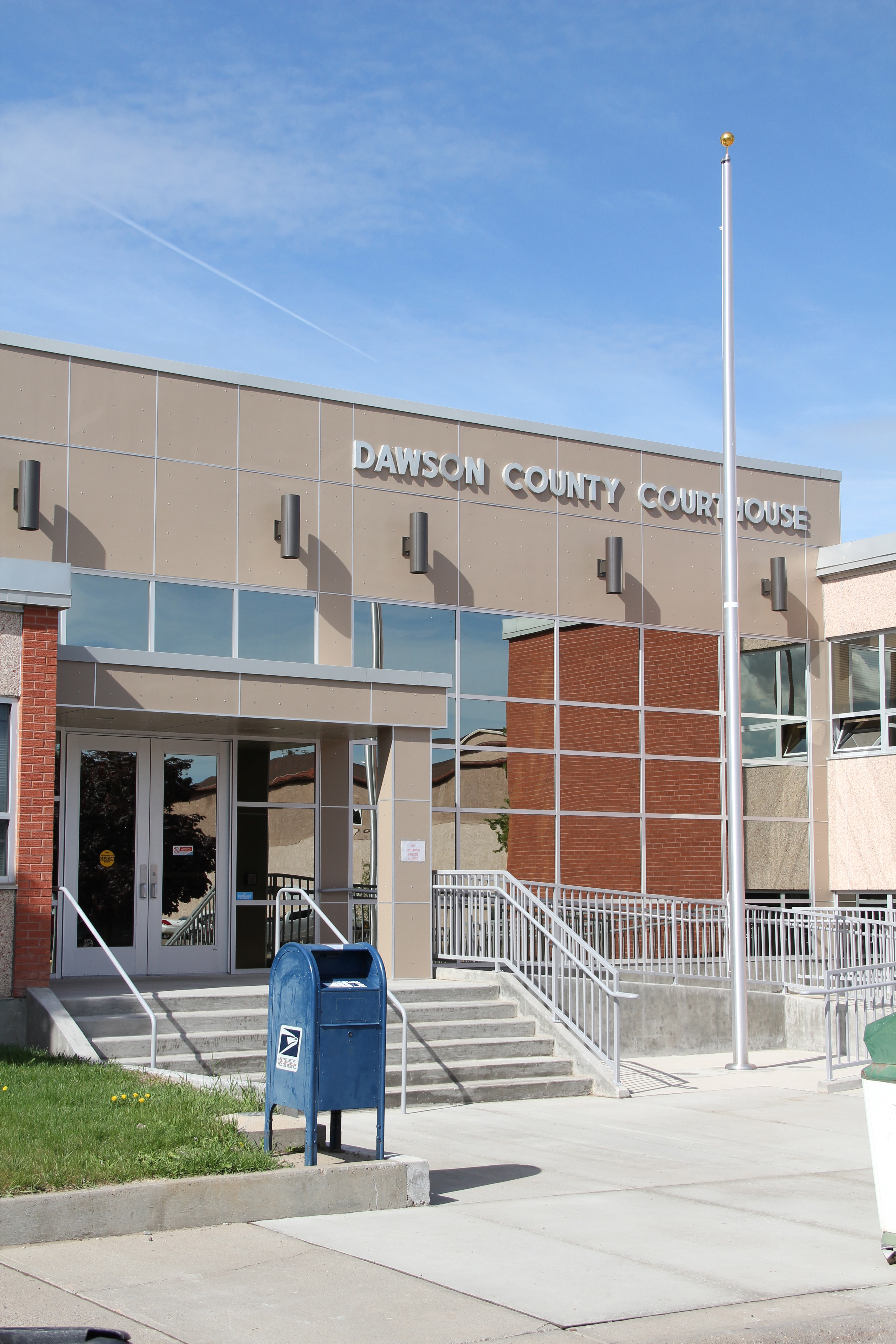
Downtown Glendive is dominated by a modern monument to its time of greatest prosperity–the city reached its population high of just over 7,000 in 1960: the Dawson County Courthouse of 1962. Designed by the long-established Billings firm of J. G. Link, the courthouse represents the “contemporary modern” movement in the state’s architecture of the 1950s and 1960s.
IMG_7225
Dawson County Courthouse, 1962, Glendive, MT

Dawson County Courthouse, 1962, Glendive, MT


An even more striking example is the space age aesthetics found in the town’s public library, which when I lasted visited Glendive in the 1980s still served its original purpose as a local bank.
IMG_7266
IMG_7267
The contemporary sixties look even extended into Glendive’s historic neighborhoods, as reflected in the A-frame style of the First Congregationalist Church, and into new commercial buildings, such as the Saarinen-esque sloping roofline of the historic Safeway store, now adapted into the Eastern Montana Events Center.
IMG_7265
IMG_7261
Glendive has lost over a quarter of that 1960 population, checking in the 2010 census at just under 5,000 residents. Before we leave this spot on the Yellowstone, let’s explore more its historic neighborhoods, full of a range of interesting domestic architecture from 1900 to 1960. That’s the next post.

Montana’s Malta: More Travels along the Hi-Line

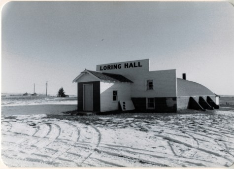
Phillips County is one of my favorite places along the Hi-Line. The Milk River Valley is beautiful; the high plains at Loring and Whitewater are lonesome yet compelling. Empty I guess is how many would describe the county as just over 4250 people live there–in a county of 5,212 square miles.
Image

Loring Hall in 1984

But the diversity of the landscape is memorable. The southern tip of the county is the gateway to the Charles M. Russell National Monument, truly one of the great national parks that few people know about but home to some of most overwhelming views of the Missouri River. North of the Missouri are the southern end of the Little Rocky Mountains and the old mining towns of Zortman and Sandusky.

Image

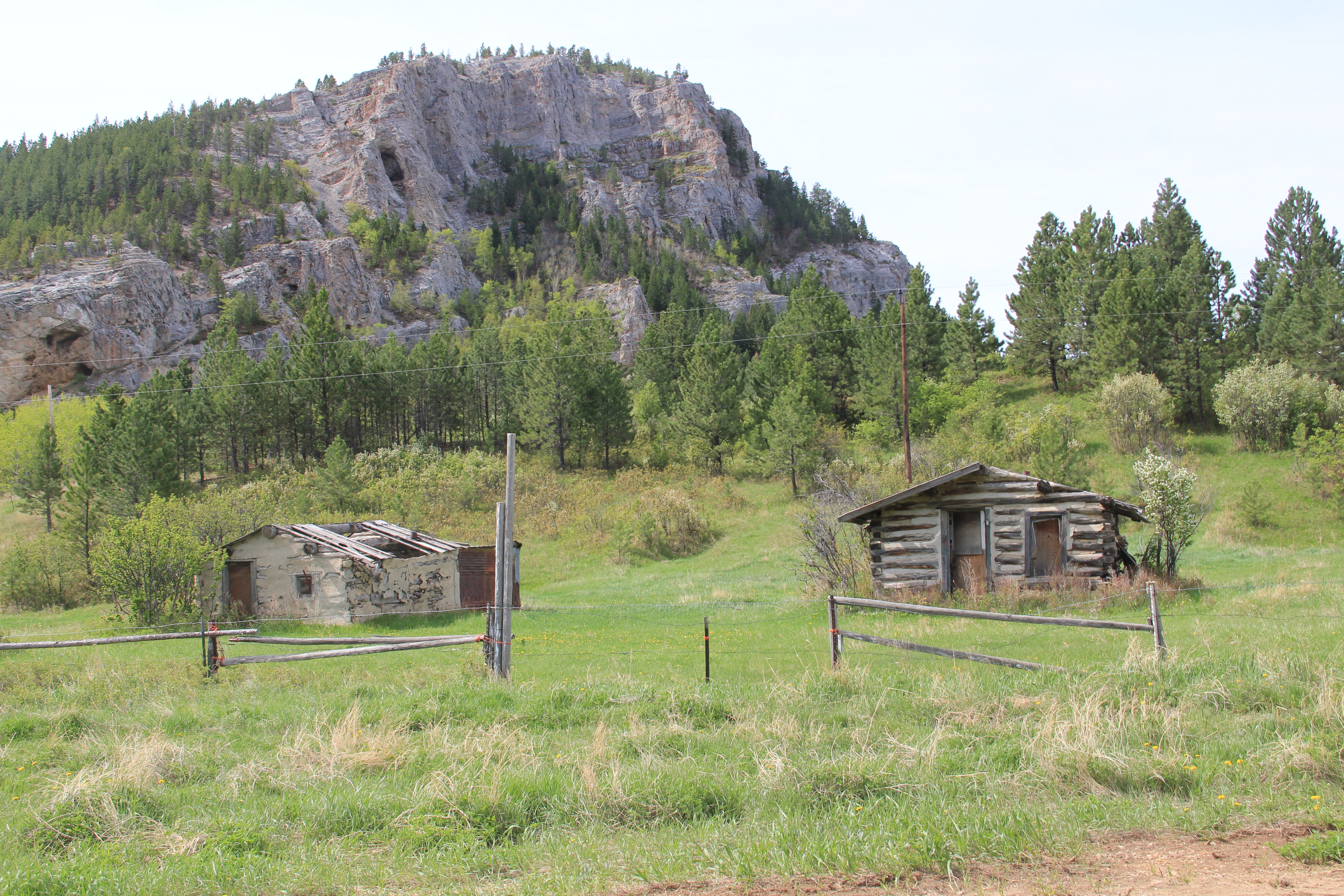
Abandoned cabins at Zortman, 2013

I have already written about the two Hi-Line towns on the west end (Dodson) and the east end (Saco). Now it is Malta’s turn. When I visited there in 1984 little did I know that Malta was at its population peak.

Image

The 1980 census counted 2,367 residents–never had the town had that many people, and judging from the last three decades, that number is never returning: the population is now under 2,000. The 1980 as a peak population decade–not common among Hi-Line towns, but that wasn’t all that set Malta apart from what I encountered east or west.

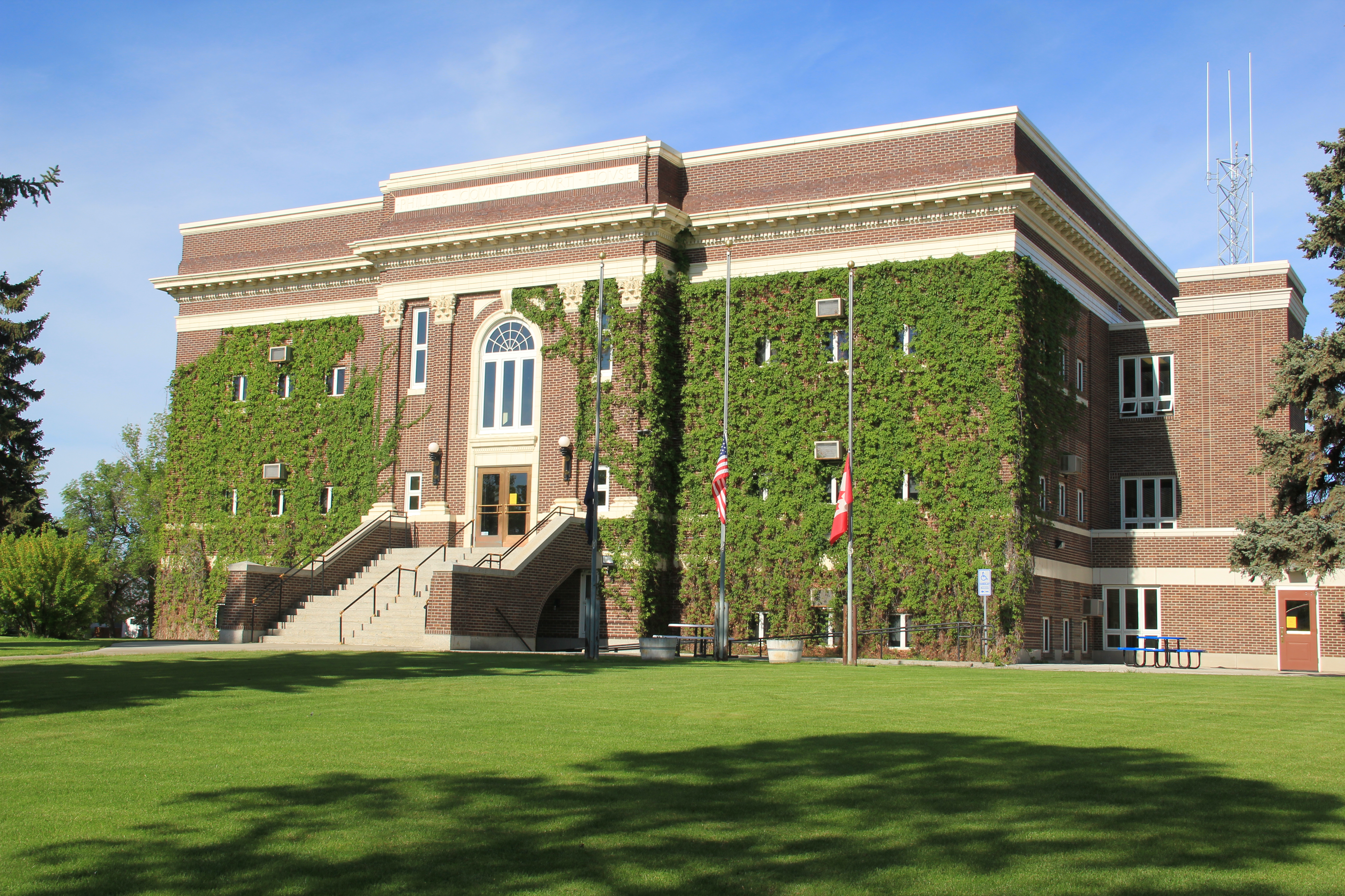
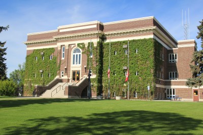
Vibrant community institutions anchored the town. The neoclassical Phillips County Courthouse (1921) served as the foundation for the east end residential neighborhood. Designed by Great Falls architect Frank E. Bossout, the red brick courthouse reflects a more restrained expression of the popular classical revival movement, especially compared to Bossout’s earlier more flamboyant Beaux-Arts design for the Hill County Courthouse (c. 1914) in Havre. (I wish they would remove the vines–not good for the bricks.)
Image

Nearby was the Carnegie Library, which had been recently converted to serve as a county museum. In 1984 the community was quite proud of the place, recently (1980) listed in the National Register of Historic Places.

Image

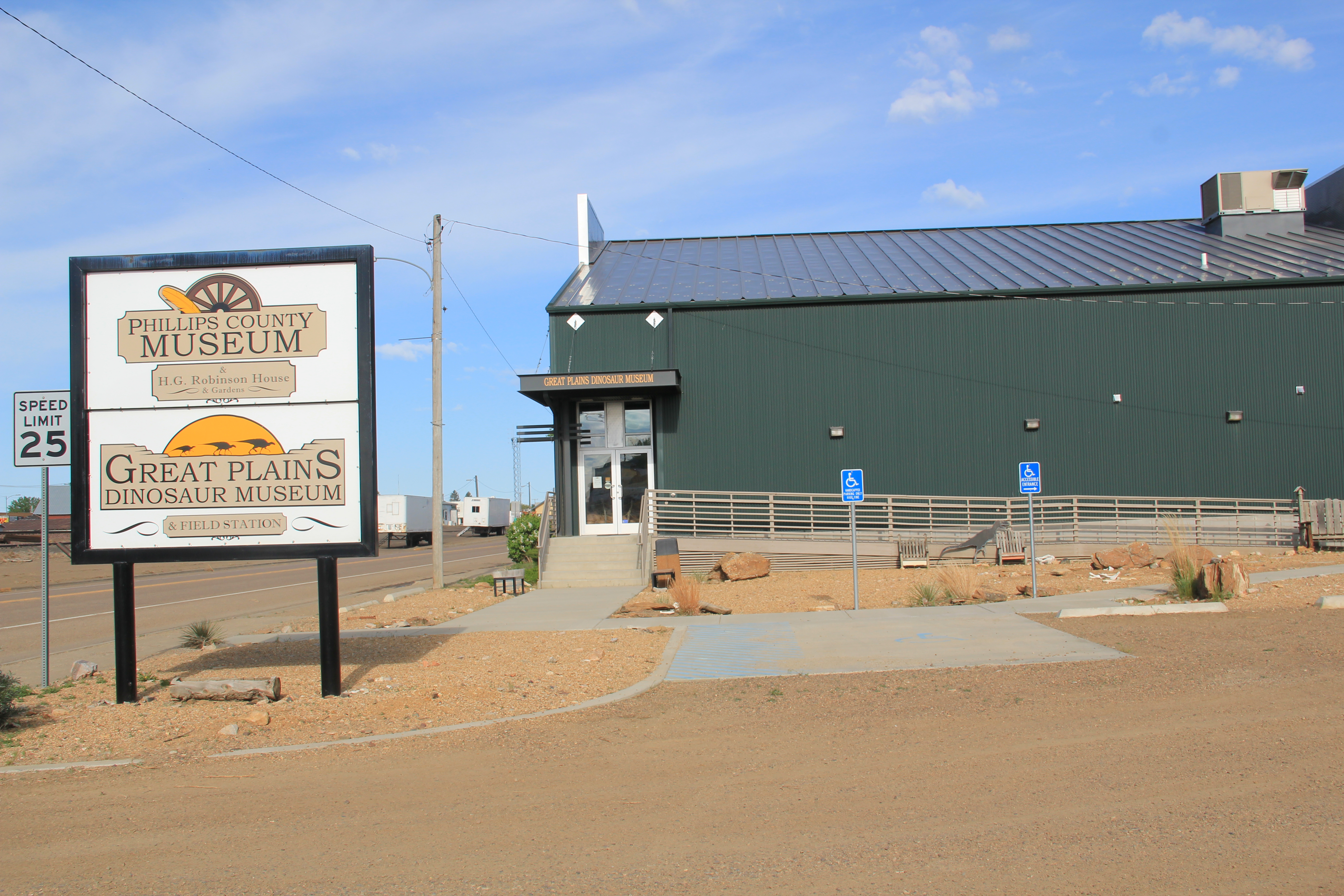
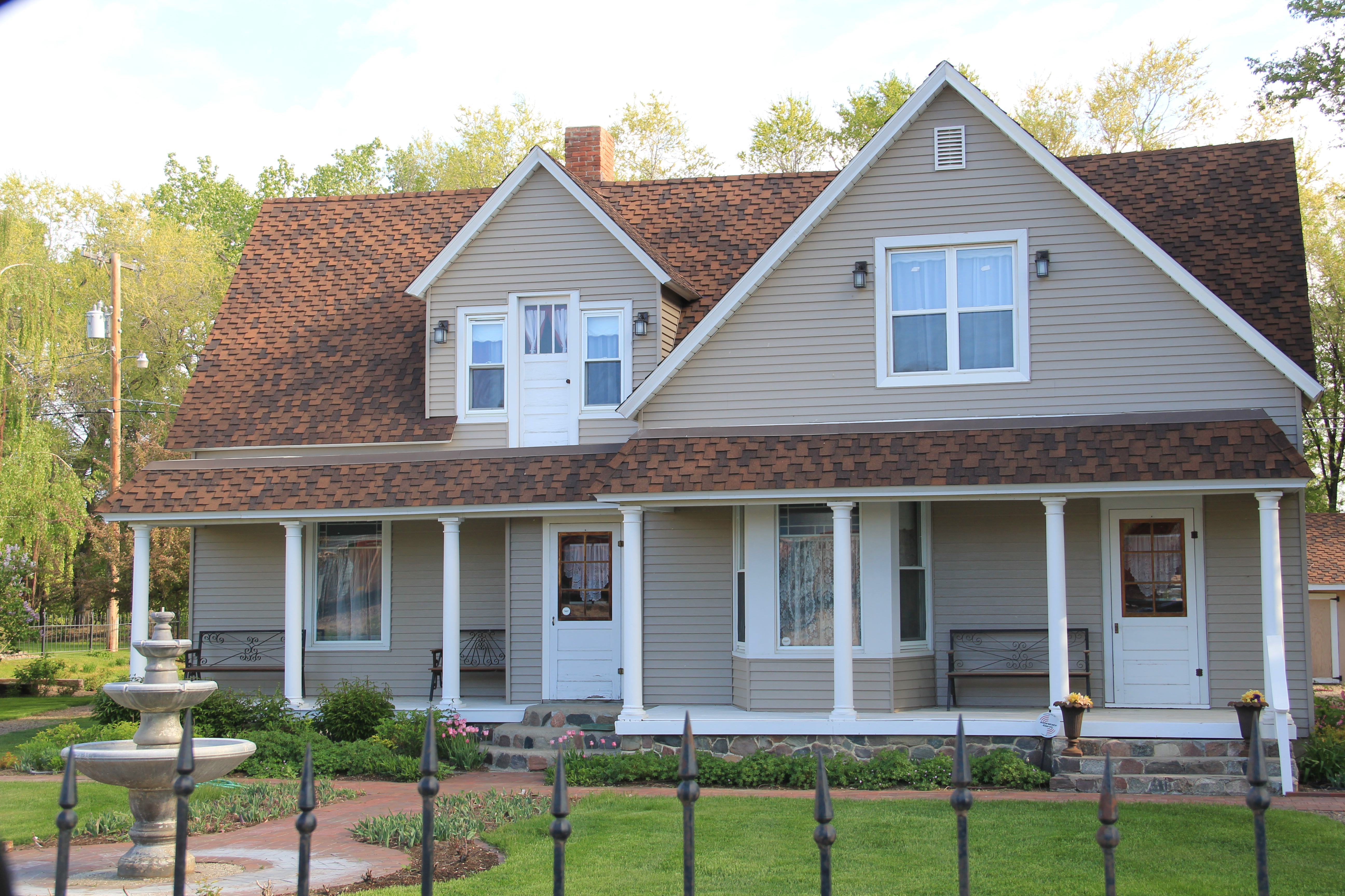
Now the museum has moved to new quarters, the Phillips County/ Great Plains Dinosaur Museum, on U.S. Highway 2, where dinosaurs are the primary attraction moreso than local history after a major nationally-noted dinosaur discovery happened in the county in 2000. Yet the town has preserved a notable local house, the Victorian-style H.G. Robinson House (1898), nearby the new museum and there in a domestic setting the town’s early history and settlement is interpreted. The new highway historical/cultural institutions are improvements–but have come at a real cost: a crumbling Carnegie Library, the town’s only National Register-listed property that needs help, now.
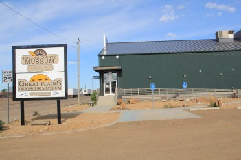
Image Image

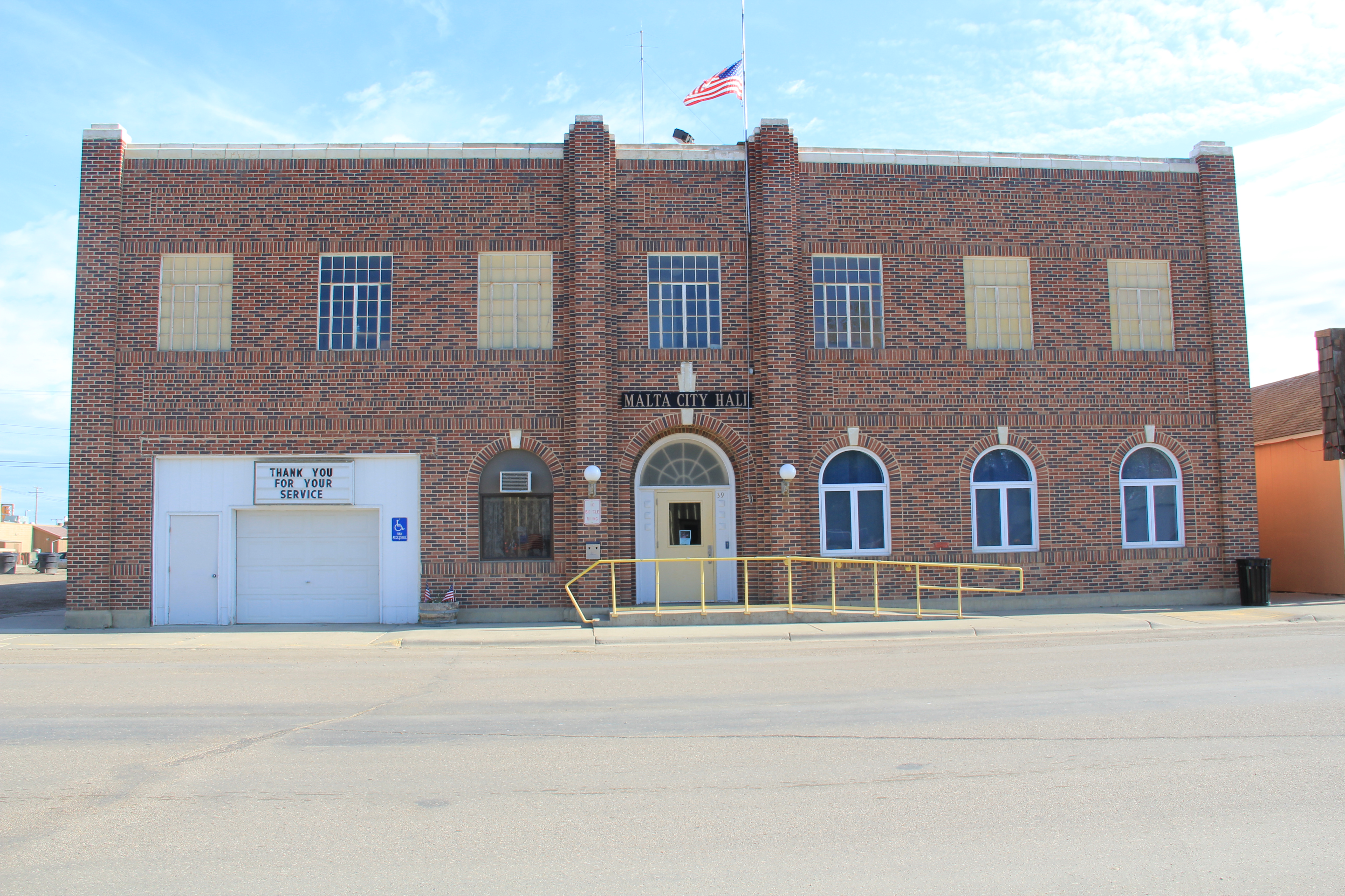
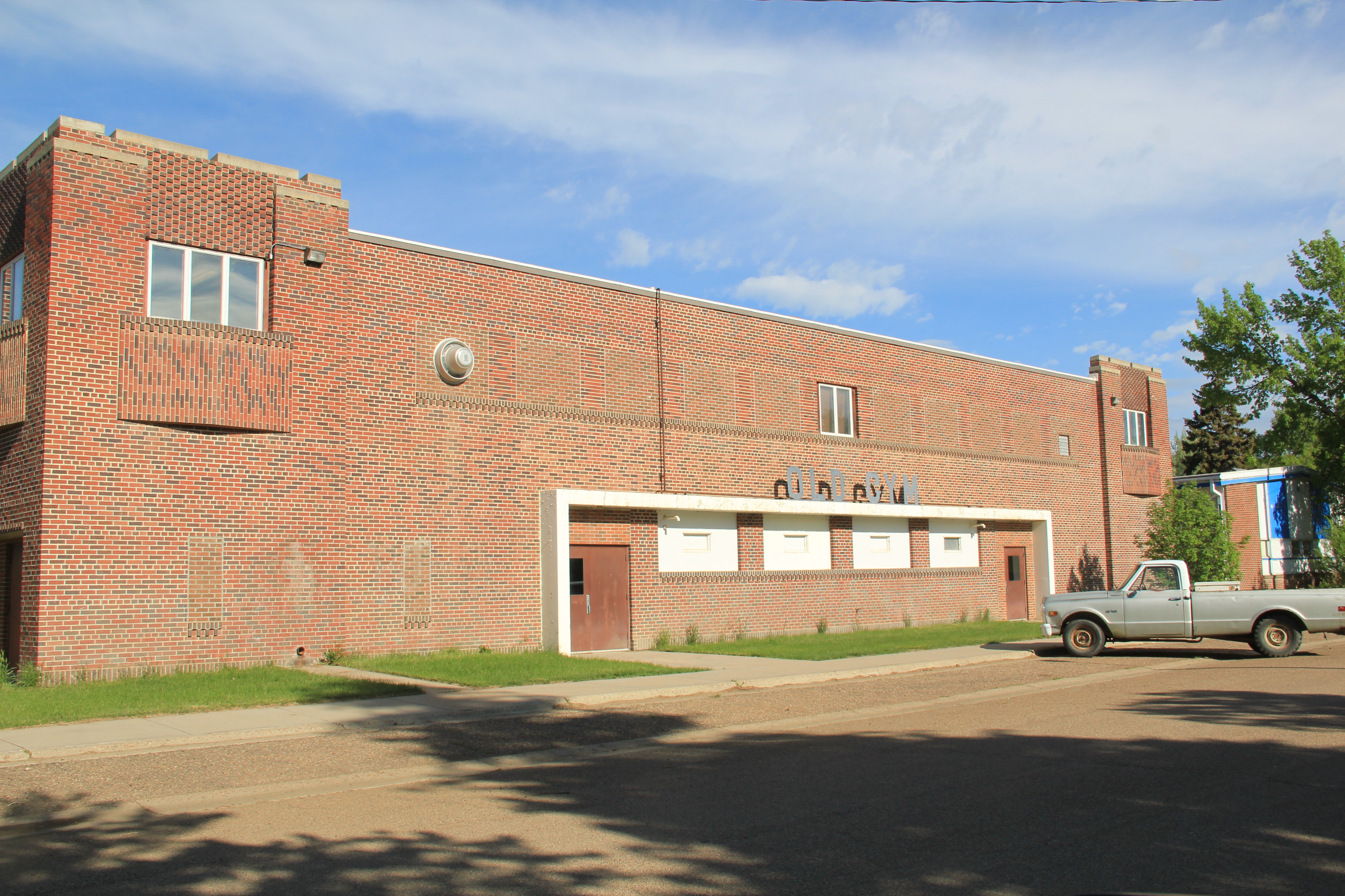
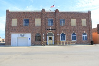
Another community institution was the Woman’s Club of the late 1930s, a Rustic-style building that has been discussed earlier in the blog, as part of the institutions that spoke to women’s history that I missed and could not “see” in 1984. But it was also one of three major New Deal buildings that missed–the others being the two-story brick WPA-constructed City Hall and the massive brick “Old Gym” that once served the high school.
Image

Image

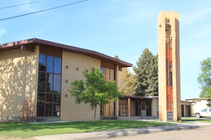
Malta also had its share of schools and churches, although again I did not “see” in 1984 the beauty of the contemporary-styled St. Mary’s Catholic Church from c. 1960.
Image

Malta’s business district is the classic T-town type of design found all along the Great Northern line. It too had its anchors: massive grain elevators and grain storage bins, along with the Arts and Crafts styled Great Northern passenger depot, defined the top of the “T”.
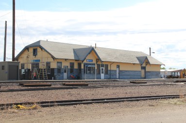
Image Image

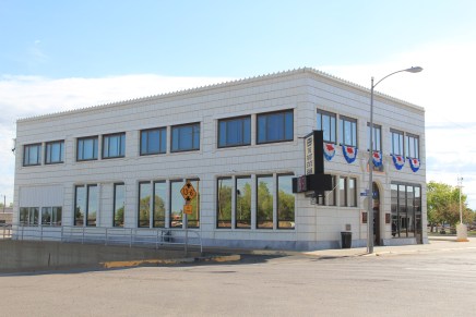
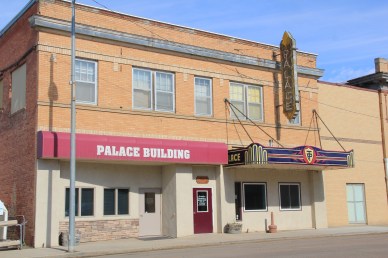
Once you took the New Deal-era underpass to go under the tracks, there was the neoclassical First State Bank introducing the “stem” of the T and several blocks of businesses: two movie theaters (both closed now unfortunately) and an Art Deco-styled auto dealership being particularly notable buildings.
Image


Image

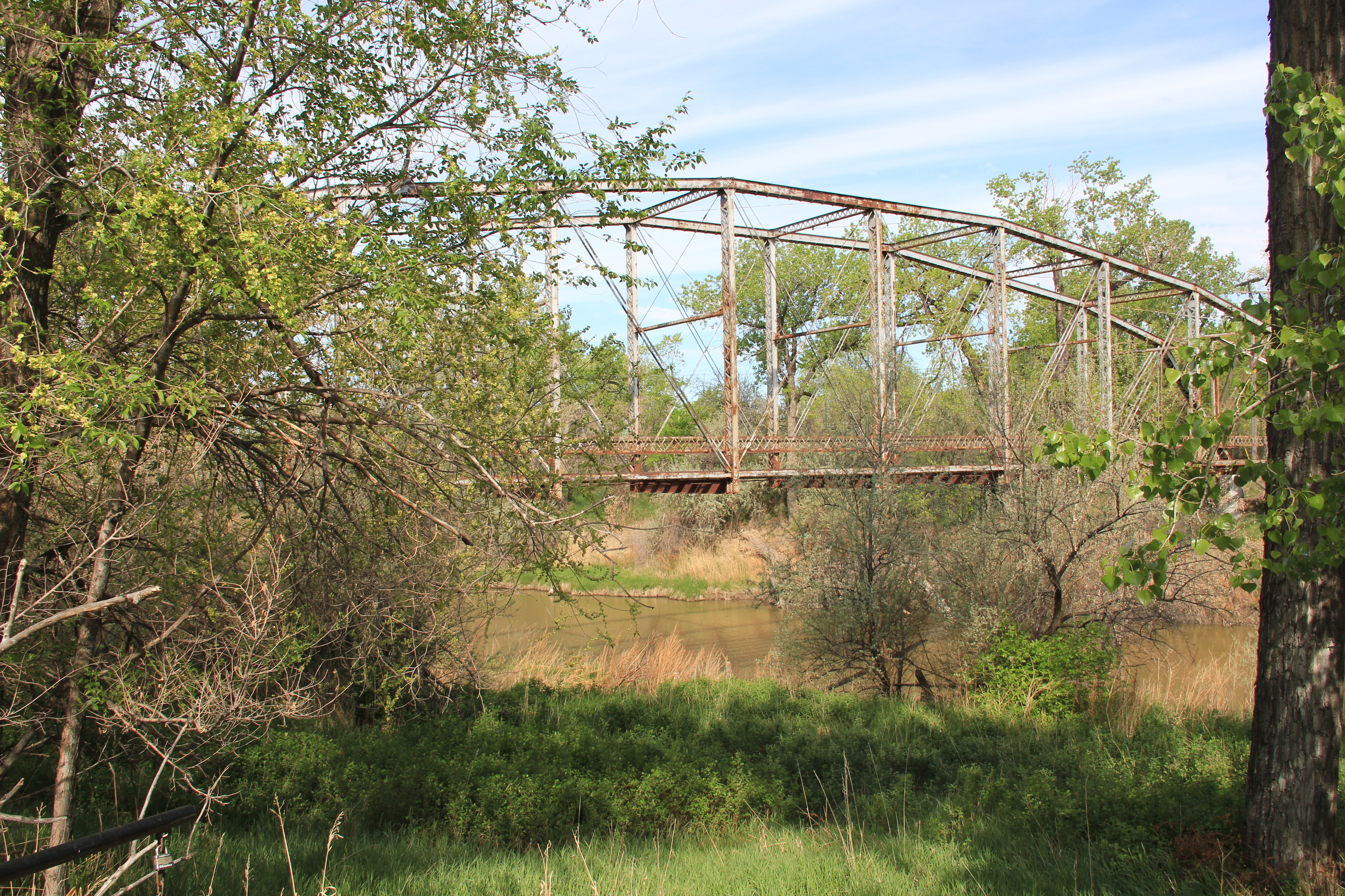
Although it was in rough shape Malta also had its railroad/highway park (Trafton Park) on the north side of U.S. 2, where the original U.S. Highway 2 passed using a steel Parker through truss bridge to cross the Milk River.

IMG_8224

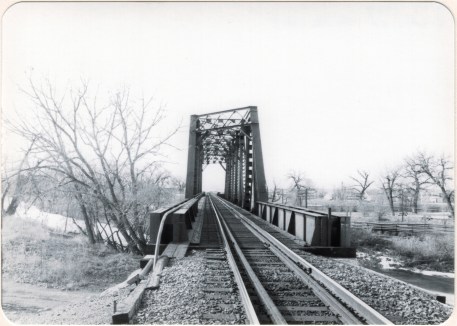
Nearby was a railroad bridge allowing Great Northern passenger trains to do the same.
Image

Malta, Great Northern Bridge over Milk River, 1984

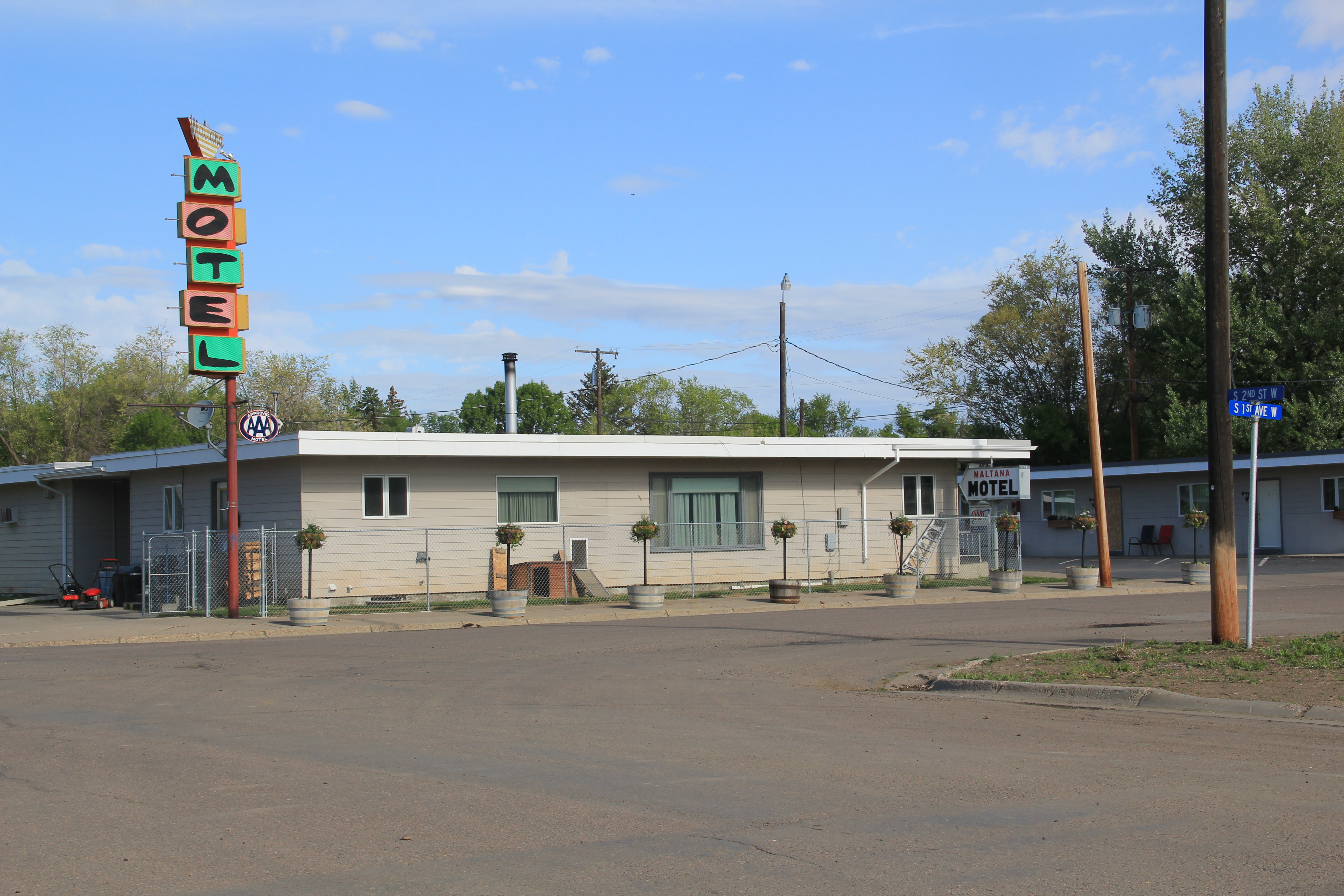
The town also had its own rodeo grounds, tucked away next to a historic livery stable at the corner of N 2nd Street and N 2nd Avenue. The Maltana Motel–even in 1984 it struck me as a classic 1950s motor court–was the place to stay then, and now. It is one of the few survivors of the “Mom and Pop” roadside abodes I enjoyed in 1984 along the Hi-Line.

Image

Malta has many potential National Register listings–as the many photos here suggest. And all of these heritage assets could be a valuable foundation for new visions and investment. The community is keeping the buildings in use and in general decent repair. But you worry about the future–if the town’s recent trend of population decline continues.

Harlem on the Hi-Line


Image

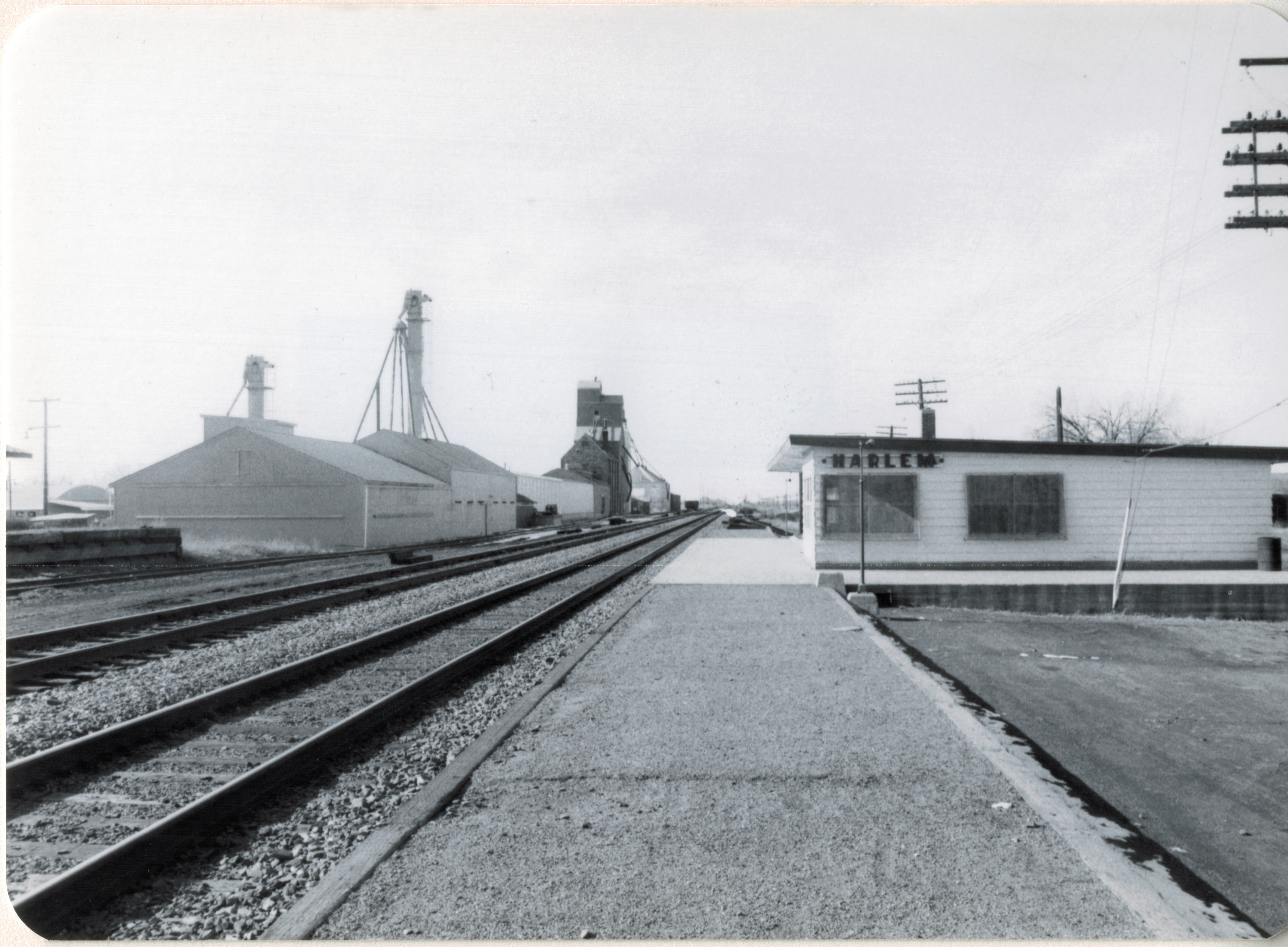
Whenever travelers or residents for that matter talk about Hi-Line towns, Havre, Shelby, Glasgow, Wolf Point always enter the conversation. Some places, inexplicably to my mind, never do: Harlem is a case in point.

Image

A gateway to the Fort Belknap Reservation, Harlem is one of the early Great Northern Railway towns, dating to 1889, and was established to serve as a commercial center on the northern border of the reservation.When the homesteading boom swept through the Hi-Line during the early 20th century, Harlem quickly expanded and most of the historic buildings found there today date between 1910 and 1940.

Image


What struck me powerfully when I visited in 2013, compared to my last visit in 1984, was dual themes of growth and decline. The Aaniiih Nadoka College, established in 1884, had left its initial spartan quarters on the edge of the reservation into new modern-styled buildings, that still reflected the spirit of earlier vernacular styled buildings.

Image Image

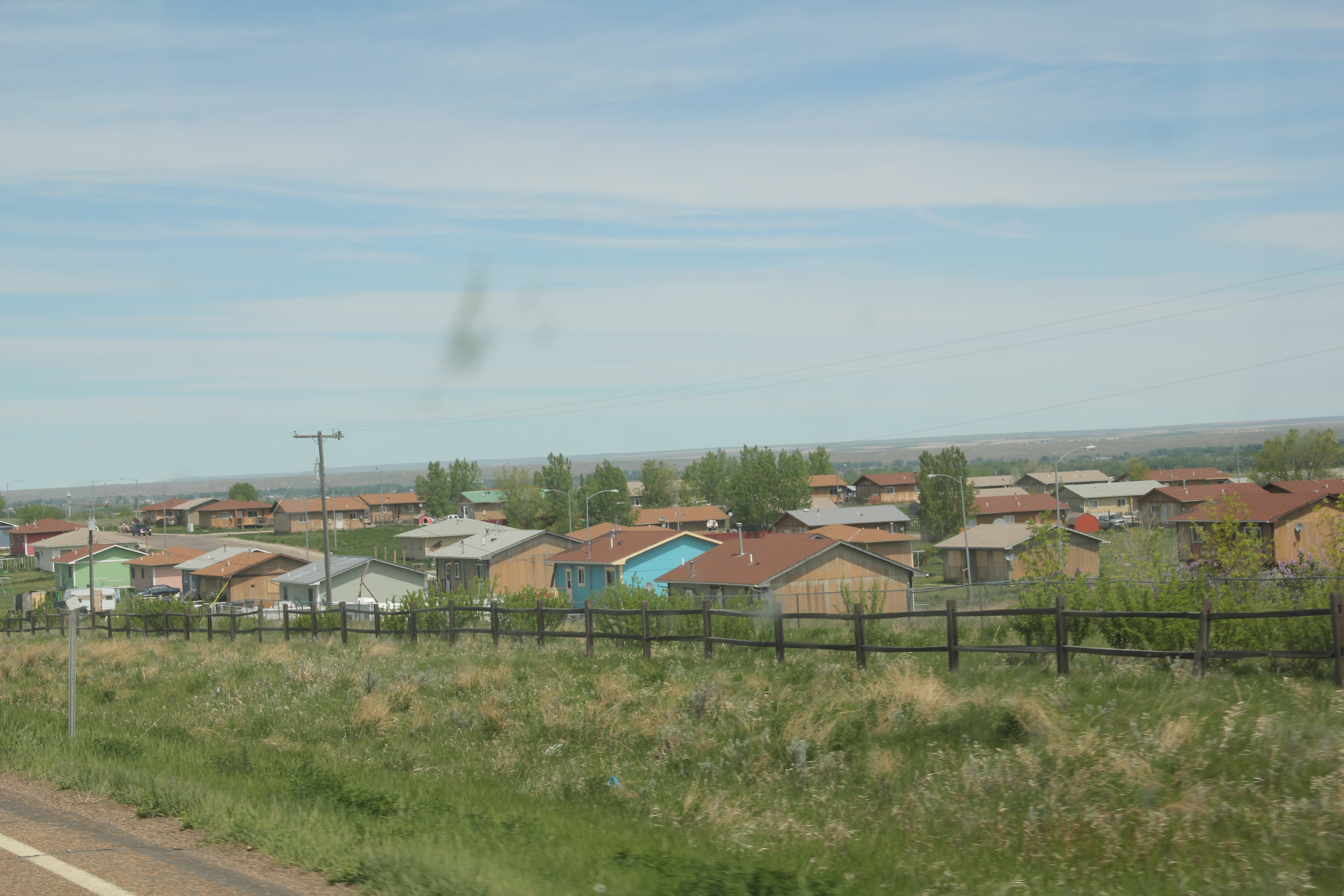
The 30-year growth of the college certainly underscored new opportunities as the flashy facade of the Ft Belknap Casino, facing U.S. Highway 2, showed a new revenue source. Standardized designs for federal housing also indicated the growth of a large neighborhood just south of the U.S. 2 and Montana 66 junction.

Image Image


The theme of decline, however, marked the historic business district of Harlem. When I visited in 1984, Harlem had over 1000 residents–now that number is close to 800. Classic roadside gas stations, even at prominent corners, had closed.

Image Image

The Art Deco-ish Brekke Block (1941) only had a few going businesses; the early 20th century commercial block at Central and Main streets had even fewer signs of life. The Grand Theatre no longer showed movies. The imposing classical facade of the old state bank had broken windows and decaying architectural details.  These historic buildings retain their potential to impress, and could be heritage assets in multiple ways.  They need attention before it is too late.
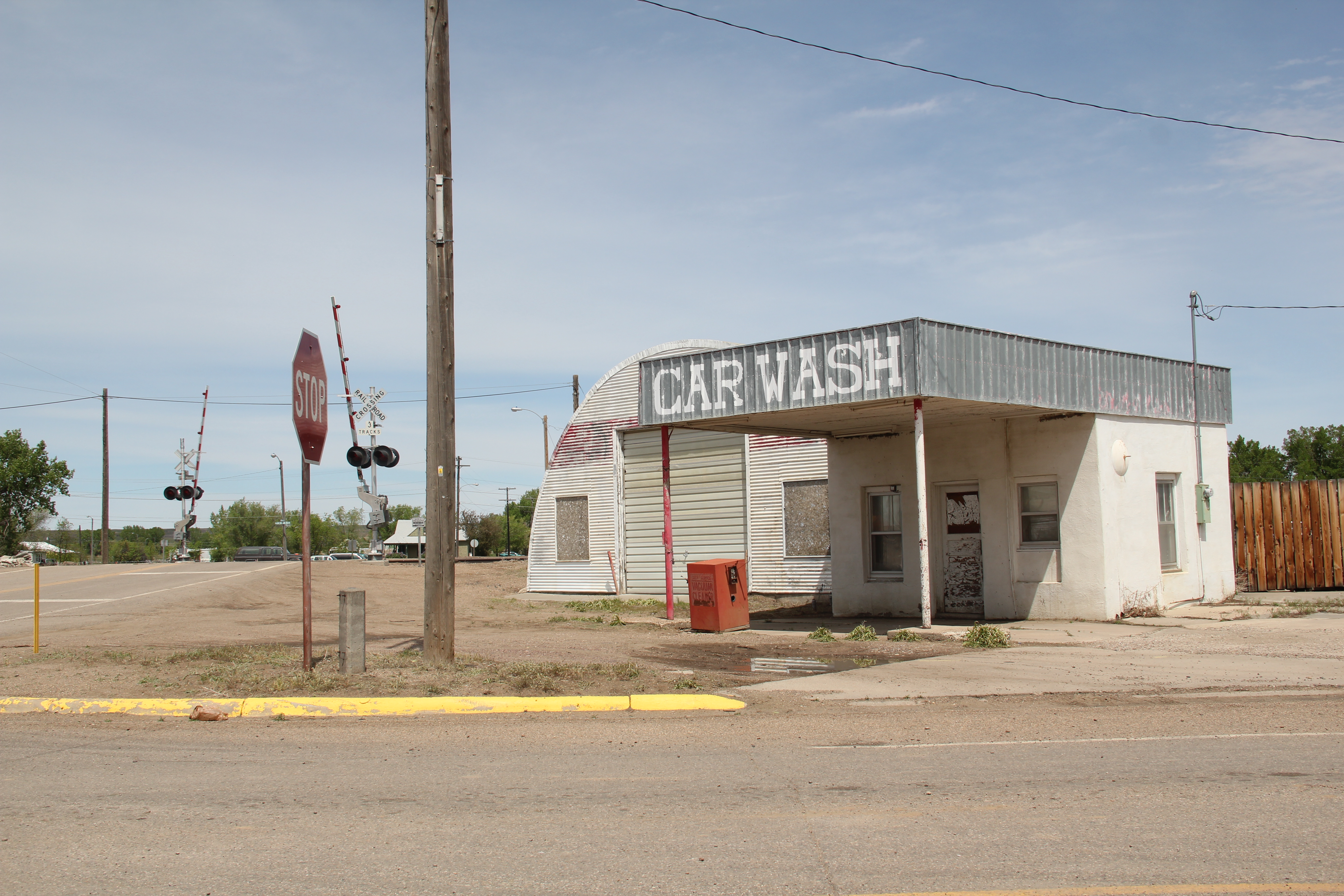
Image  Image

While life and commerce enlivened the railroad and highway corridor, the downtown had a shuttered, tired look. But pride was there too. The Harlem Centennial Park, established in 1987, featured an memorial to the thirteen airmen who lost their lives when Air Force cargo planes collided north of town in 1992. The dedication and commitment to raise the funds and build such an appropriate monument impresses–and for travelers like me, I had no idea that this terrible air accident took place, and was glad that Harlem understood its obligation to the airmen and to history to record the event, permanently, with the memorial.  It was one of several surprises I encountered during my visit to Blaine County in 2013.

Image