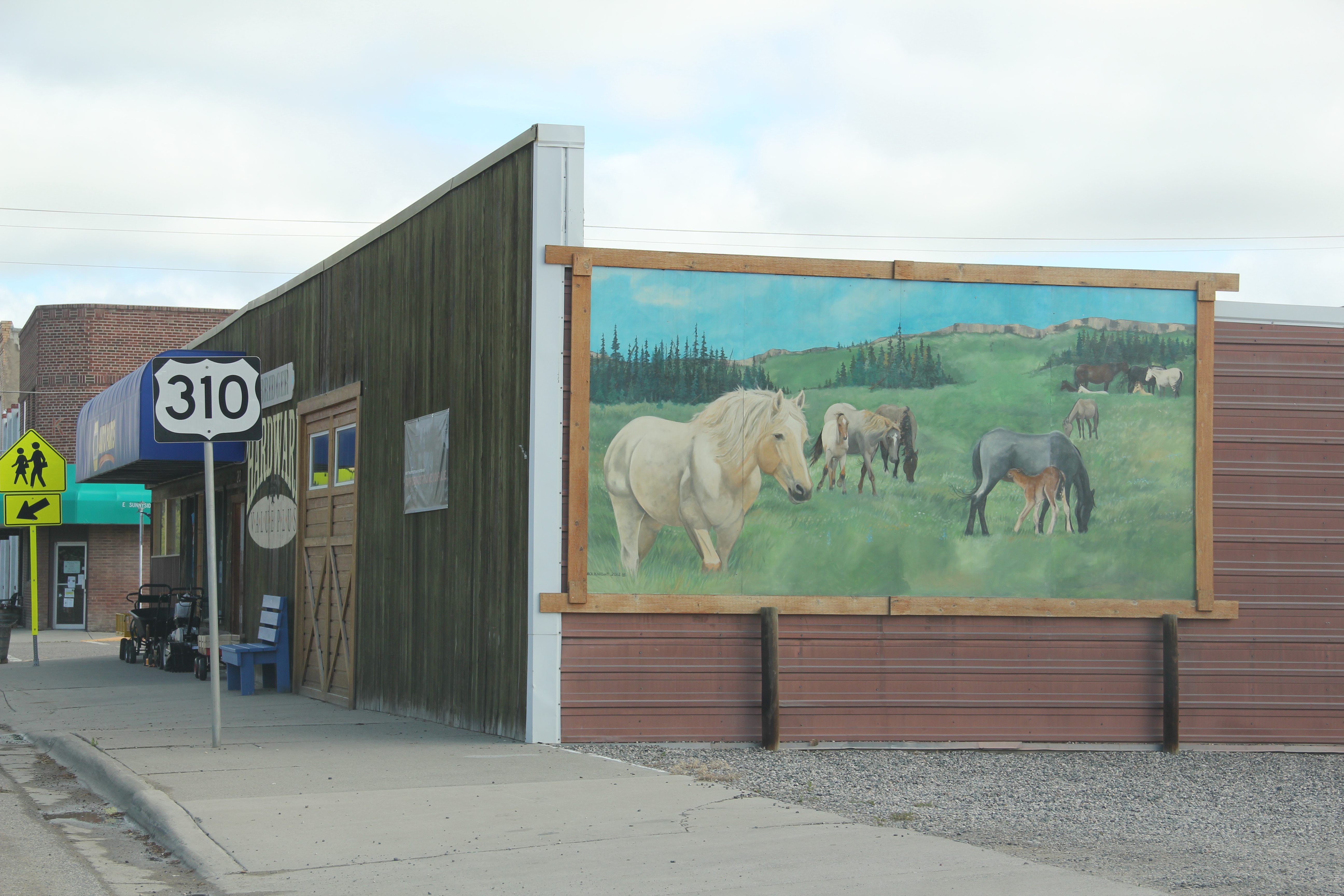
After taking a long look at the depth of nationally significant heritage stories and historic places in and around Great Falls, I want to change regions, to the Upper Yellowstone valley and get there by one of my favorite western highways, U. S. Highway 89.
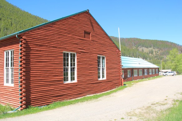
 As the highway leaves the central plains east of Great Falls, it heads east through coal country (see the earlier post on Belt) and south into the Little Belt Mountains and the old mining towns of Monarch and Neihart (above). Both Cascade County towns are proud of their heritage, a story embodied in the Monarch-Neihart School, a wonderful bit of log craftsmanship from the New Deal era, a WPA project finished in 1940 that is listed in the National Register of Historic Places.
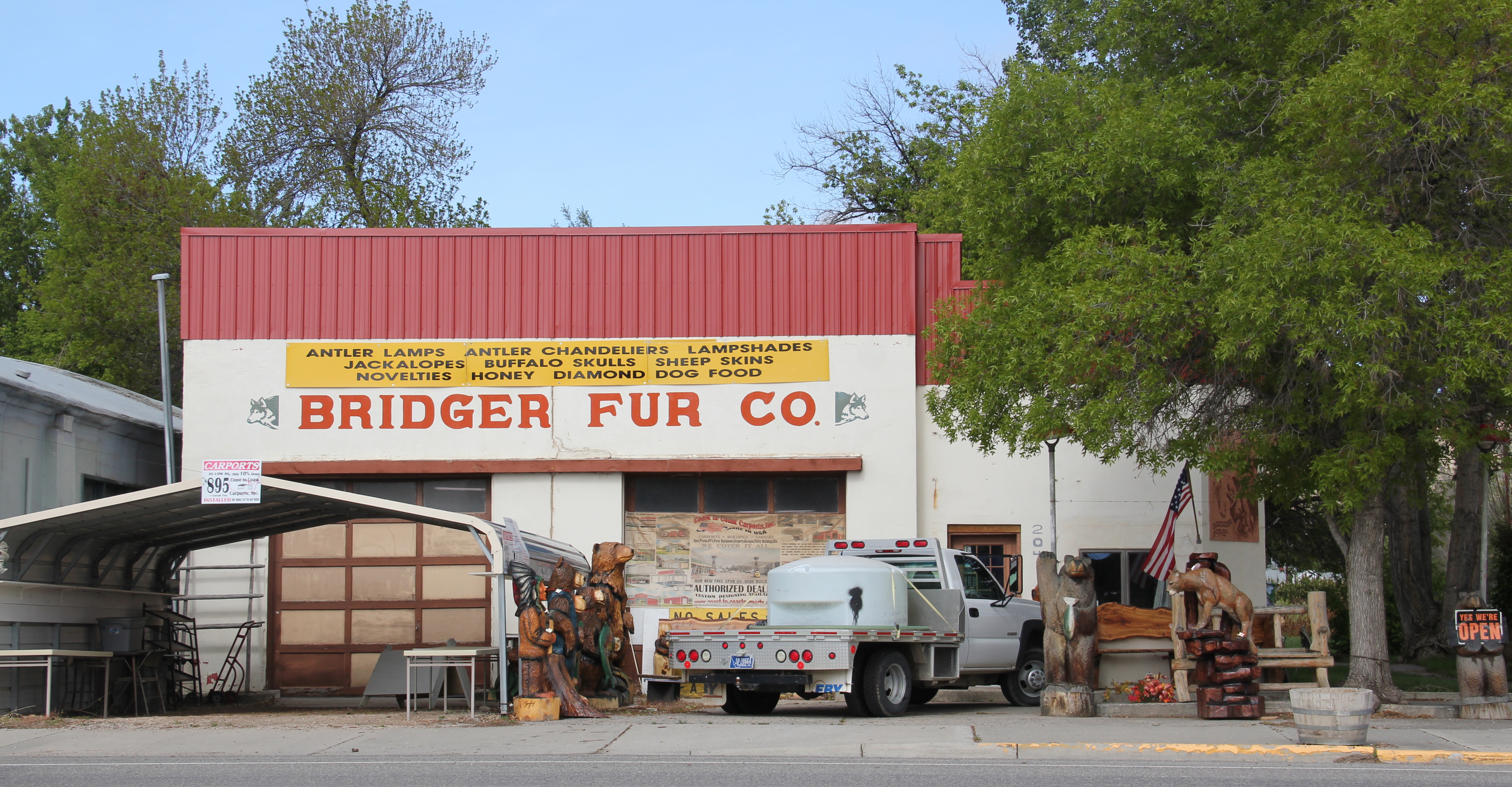
Another point of pride is the ongoing renovation of Neihart’s Great Northern Railroad depot, a mark of the town’s beginnings, which also serves the greater Monarch-Neihart area as the local museum and heritage center. While on the other side of the road, another turn of the century historic building has been converted into a self-described junk shop where you can acquire bits and pieces of the past.


After traversing through the mountains, by a sky resort, you suddenly drop back into the central Montana plains, a landscape shaped by the Smith River, one of the state’s most compelling natural and historic landscapes. You are now in Meagher County, discussed in an earlier post, where the town of White Sulphur Springs is the county seat. It too has its New Deal landmark, the Classical Moderne styled county courthouse.
 When I last visited there in 2015 the combined route of U.S. 89 and 12, which passes in front of the courthouse and the center of town, was being rebuilt, giving the historic business district the look of a ghost town.


The Fort Logan Road, on the east side of town, was not under construction, allowing for easy access to the other significant transportation link, the railroad, and the still surviving White Sulphur Springs depot, a place certainly worth of listing in the National Register.
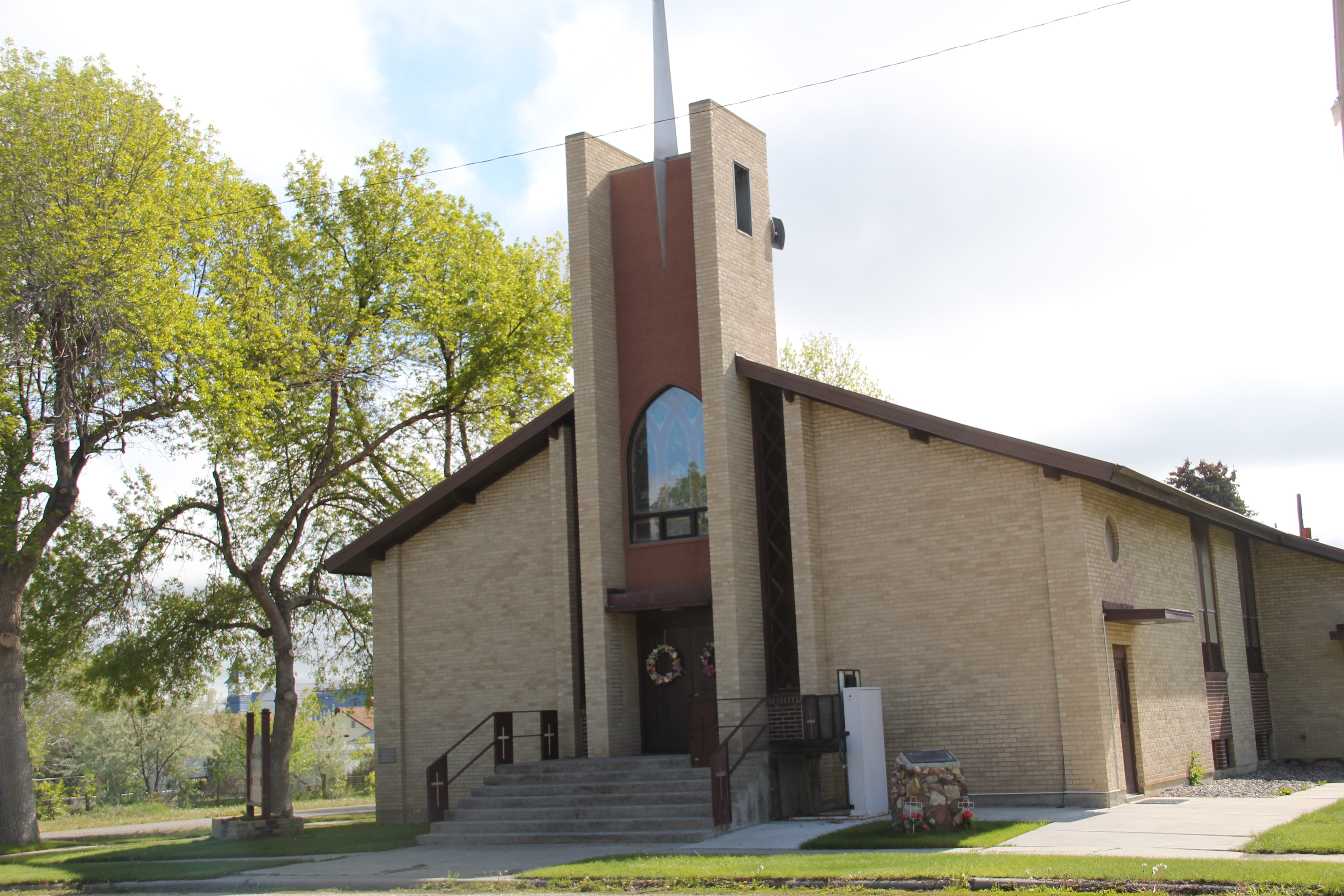
 U.S. Highway 89 continues south, crossing the historic corridor of the Milwaukee Road at Ringling, another Meagher County town discussed in an earlier post, marked by the landmark St. John’s Catholic Church.
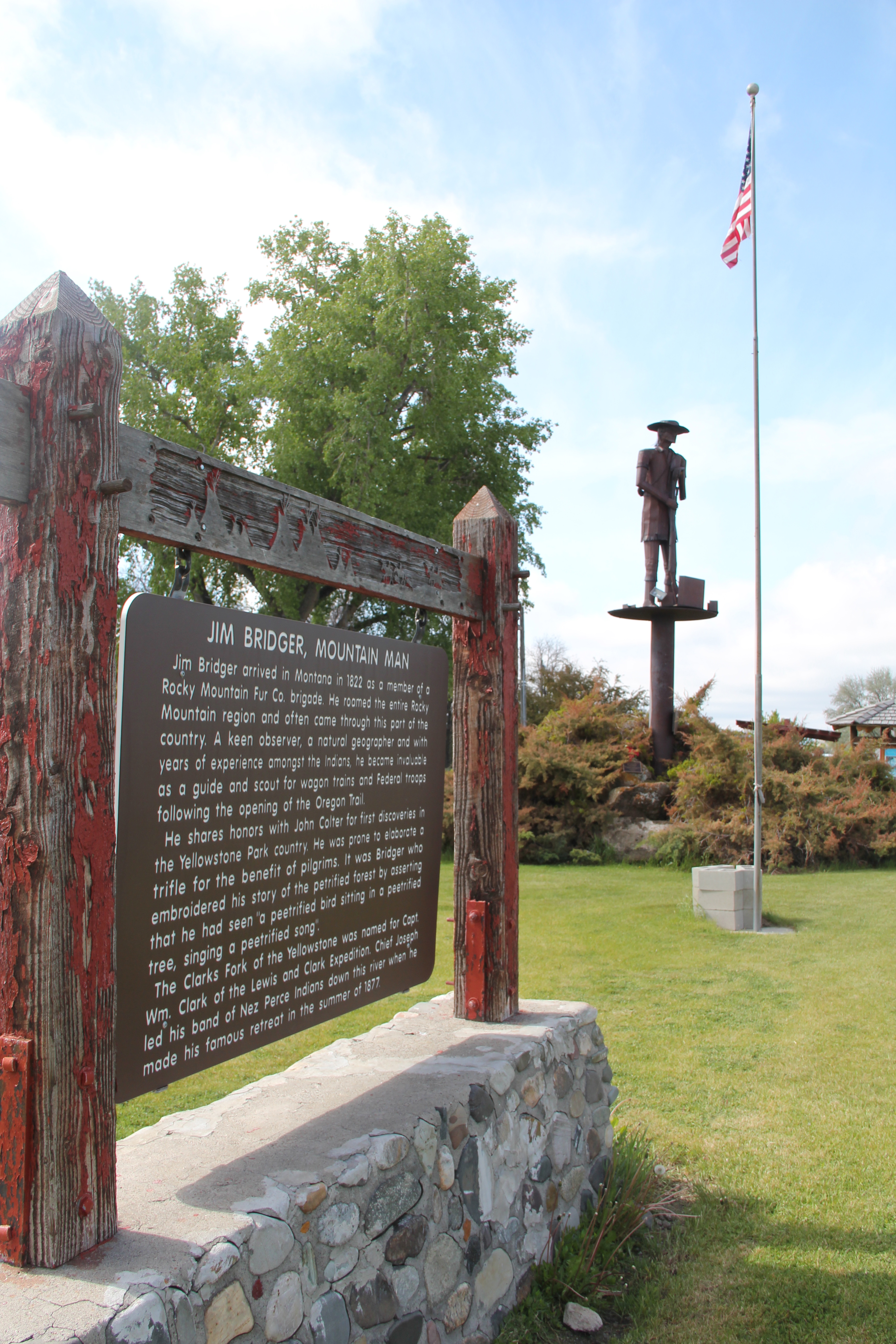
 Travelers continuing south soon find themselves in Park County, entering the Shields River Valley just north of Wilsall, where highway markers and monuments, like that for “Thunder Jack” (2006) by sculptor Gary Kerby, convey the significance of the place.

 Wilsall was not much a place 30 years ago, a small trade town on the edge of a Northern Pacific Railroad spur line, a past still recalled by the tall elevator and old railroad corridor.
 But the growing popularity of the Shields River Valley has led to a new boom in Walsall, with old banks converted into bars and old general stores


being revived and expanded. The town has its own museum now, in a converted gas station from the 1920s that served travelers and locals. The stories preserved there, along with the mural of Walsall over 100 years ago, show the residents’ sense of place and the past.

The next town down the old Northern Pacific line, Clyde Park, has a similar story of revival from 30 years ago. Glenn’s Shopping Center is still going strong, as is the town community hall across the street, and the town park is neatly kept and in regular use.
 Clyde Park Tavern is still the place to go for an adult beverage, or two. Historic grain elevators still serve local ranchers, marking the railroad line that defined the town’s landscape until the impact of the highway in the early 20th century.


The sojourn to the Yellowstone Valley will stop here, on the edge before we cross bridges, backtrack to Springdale and Fort Parker, before we explore in some depth Livingston, Montana’s gateway to Yellowstone National Park.