The people of the Fort Peck Indian Reservation have shaped the landscape of northeastern Montana for almost 150 years. Established in 1871 for the Sioux and Assiniboine Indians, the reservation boundary encompasses over 2 million acres, of which less than one-fourth (some 378,000 acres) are tribally owned trust lands. The Fort Peck Assiniboine and Sioux tribes enroll over 10,000 members, with most living on the reservation. Assiniboine members tend to live in the western part of the reservation (Oswego, Frazer, Wolf Point as towns) while Sioux members tend to live in the eastern part (Poplar, Brockton, Riverside and Fort Kipp).
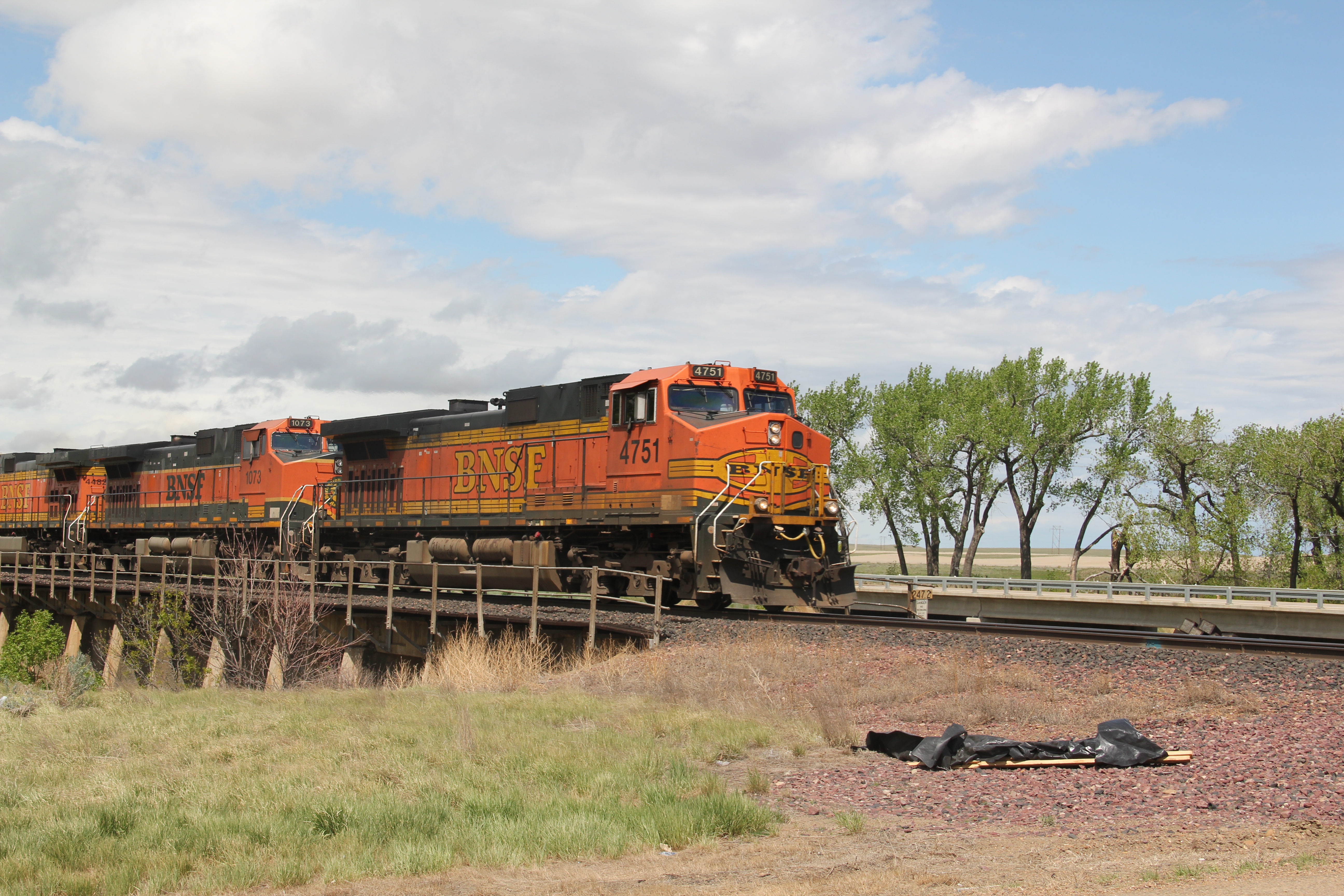
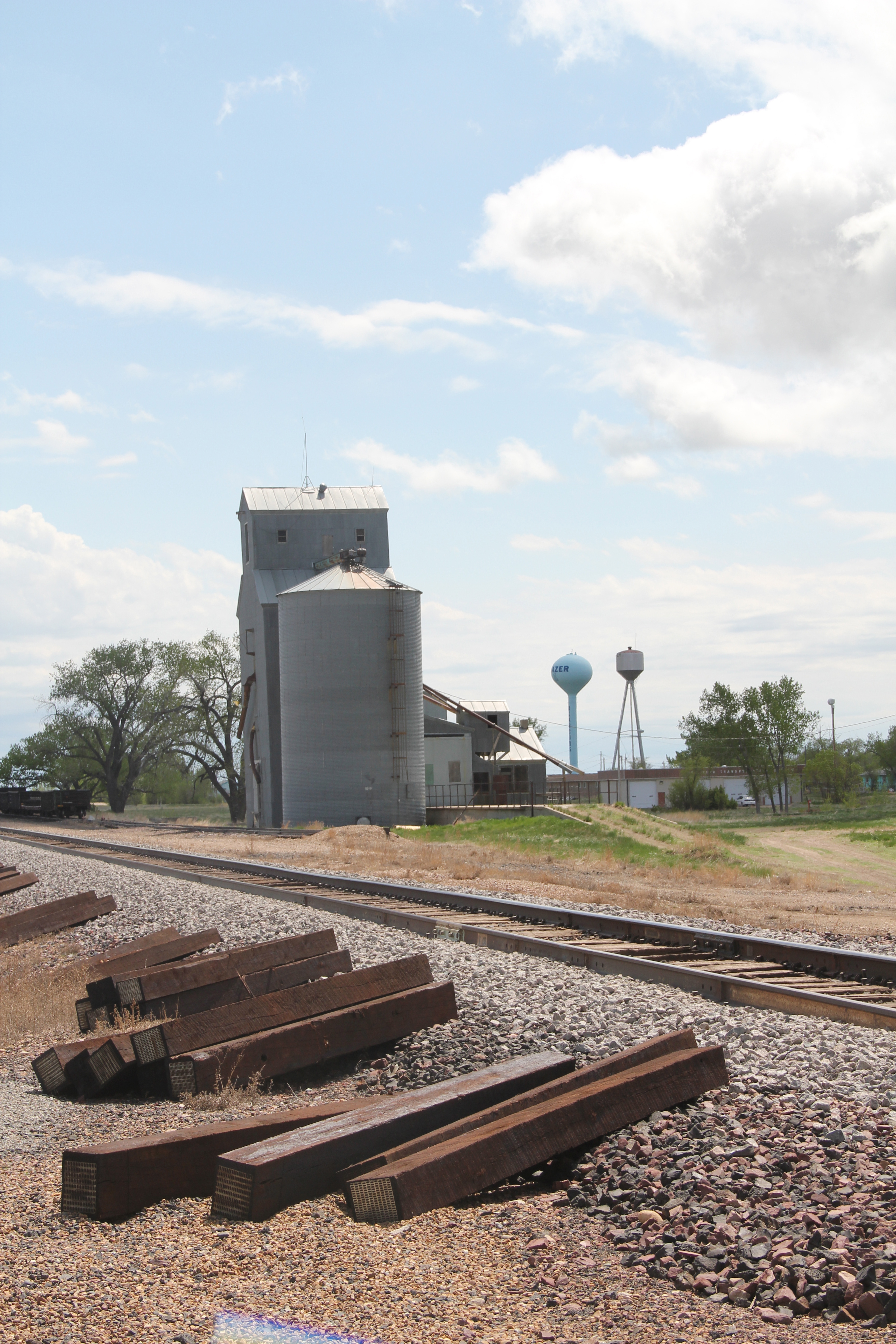
We begin with the town of Frazer, initially established as a Manitoba Road stop in 1888-1889. Due to the oil boom in the Williston Basin to the east, trains still roar through Frazer constantly while grain elevators command the skyline.
The community has lost population in the new century. While the sign on U.S. Highway boasts of 452 residents, the 2010 census counted 362, and the impact is documented by the lack of business, even along the highway.
The recently constructed Frazer School is the heart of the community. The modern styling and brick construction gives it a prominence unmatched by any other building in Frazer.

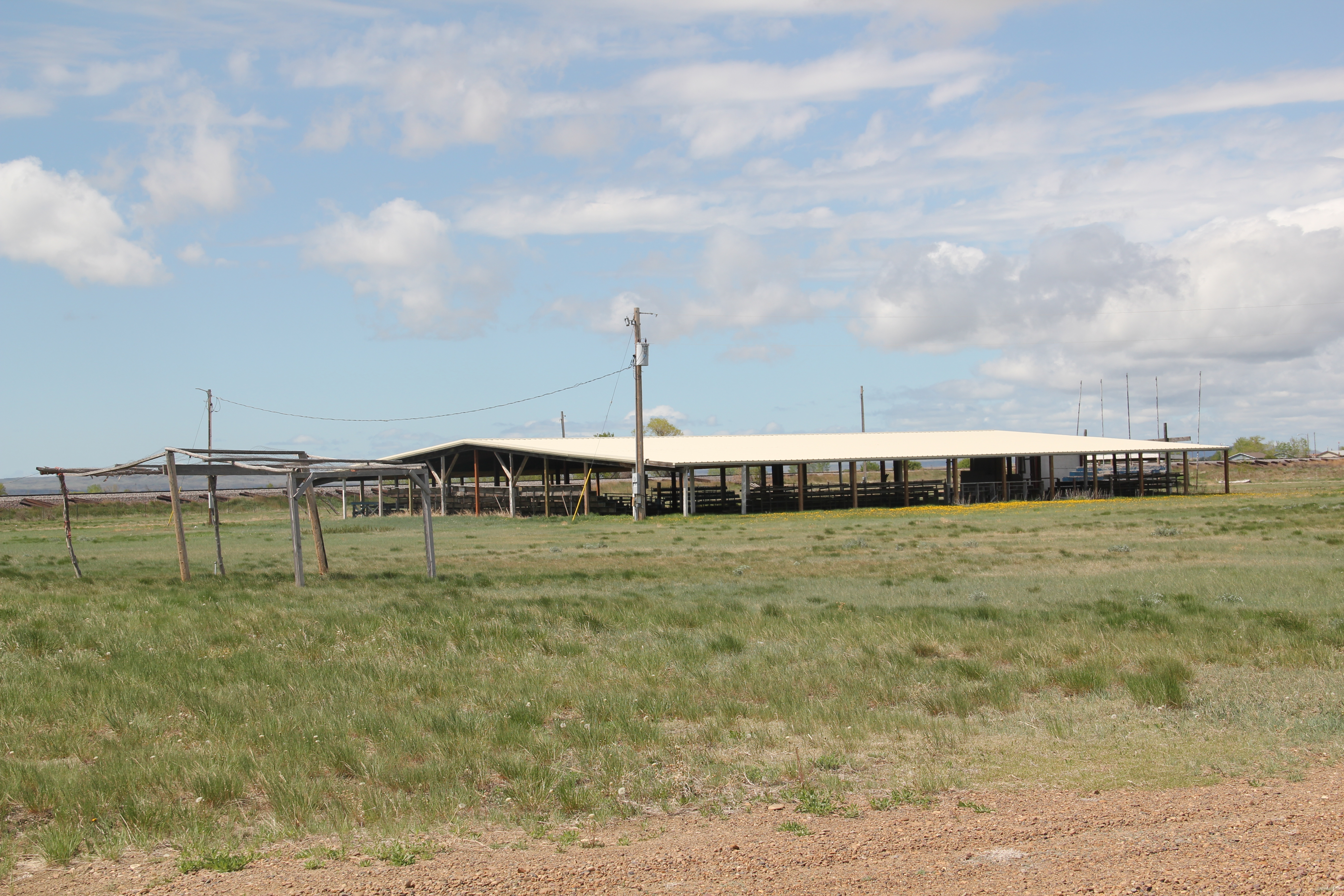
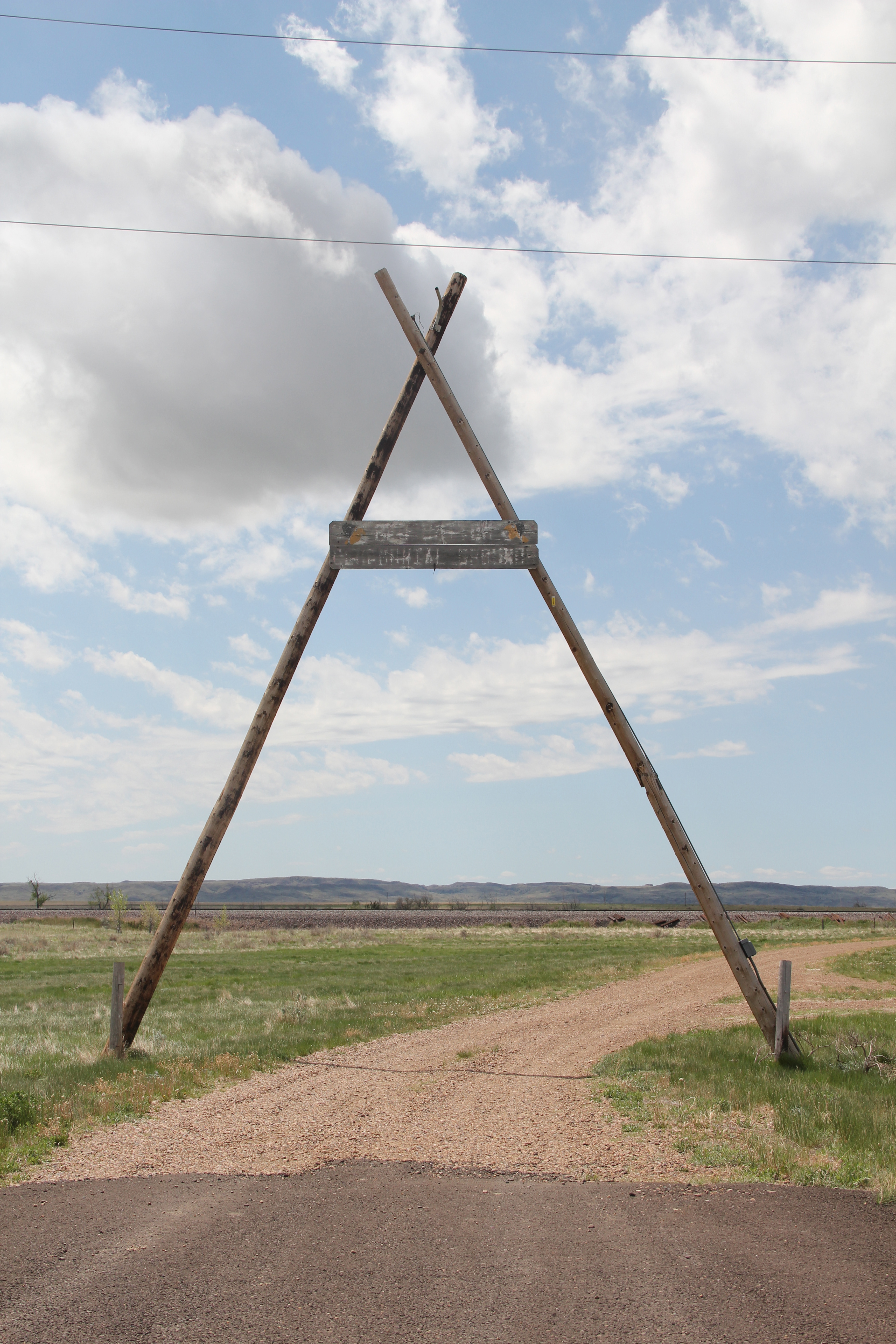
Adjacent to U.S. 2 is another key community institution, a tribal ceremonial ground. Looking from the highway right-of-way only (having not been invited to enter this community space), you see the continuation of culture and tradition celebrated in Frazer and the reservation.