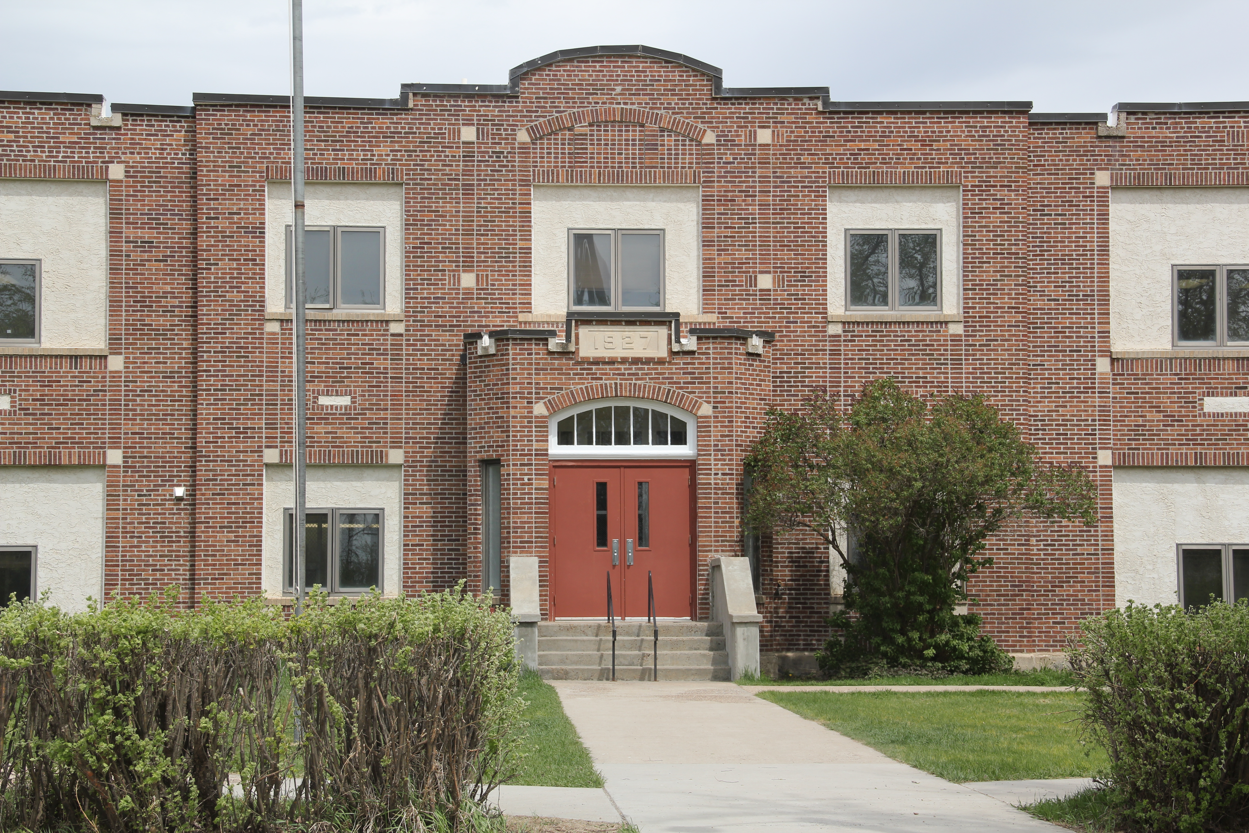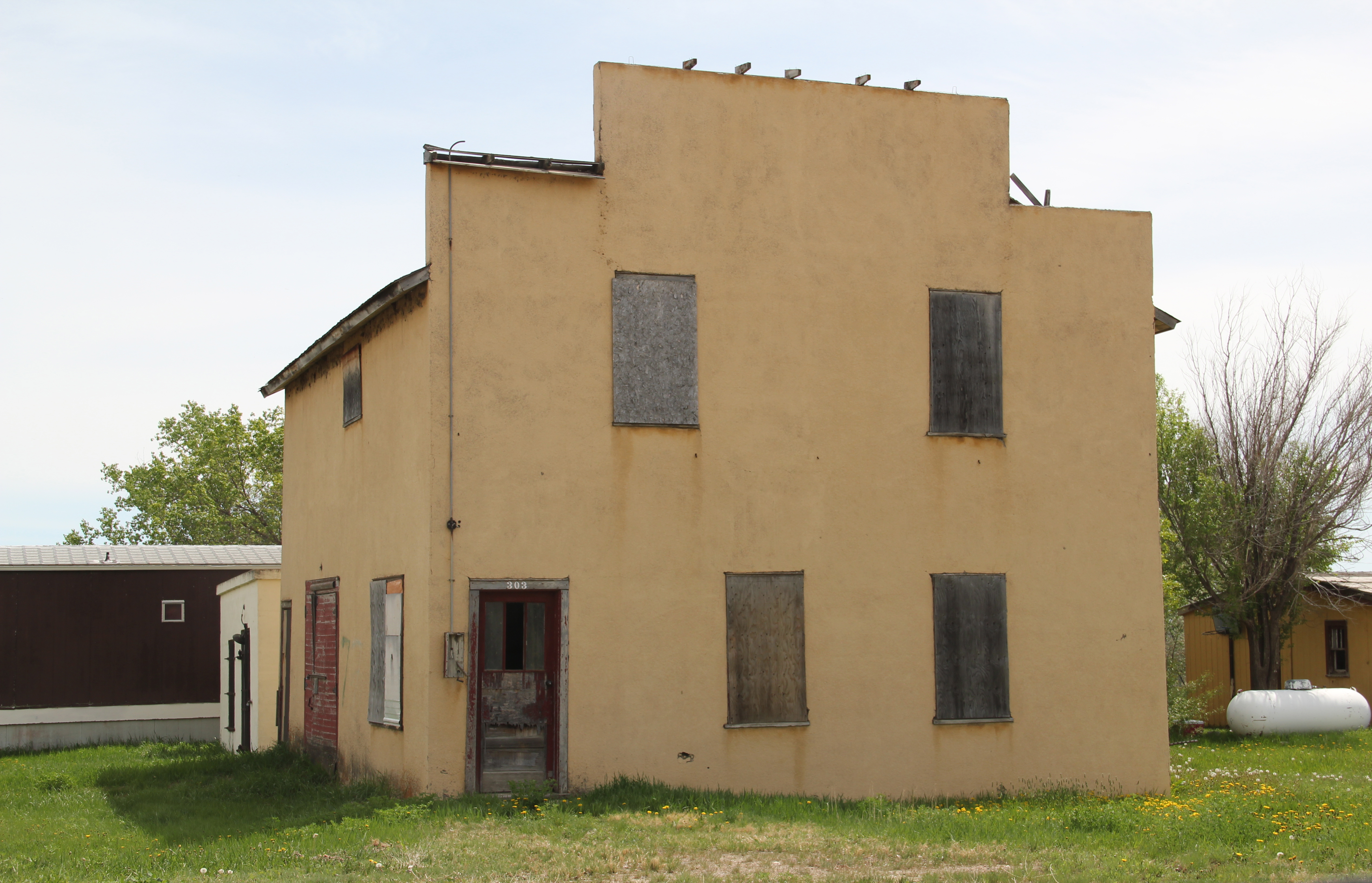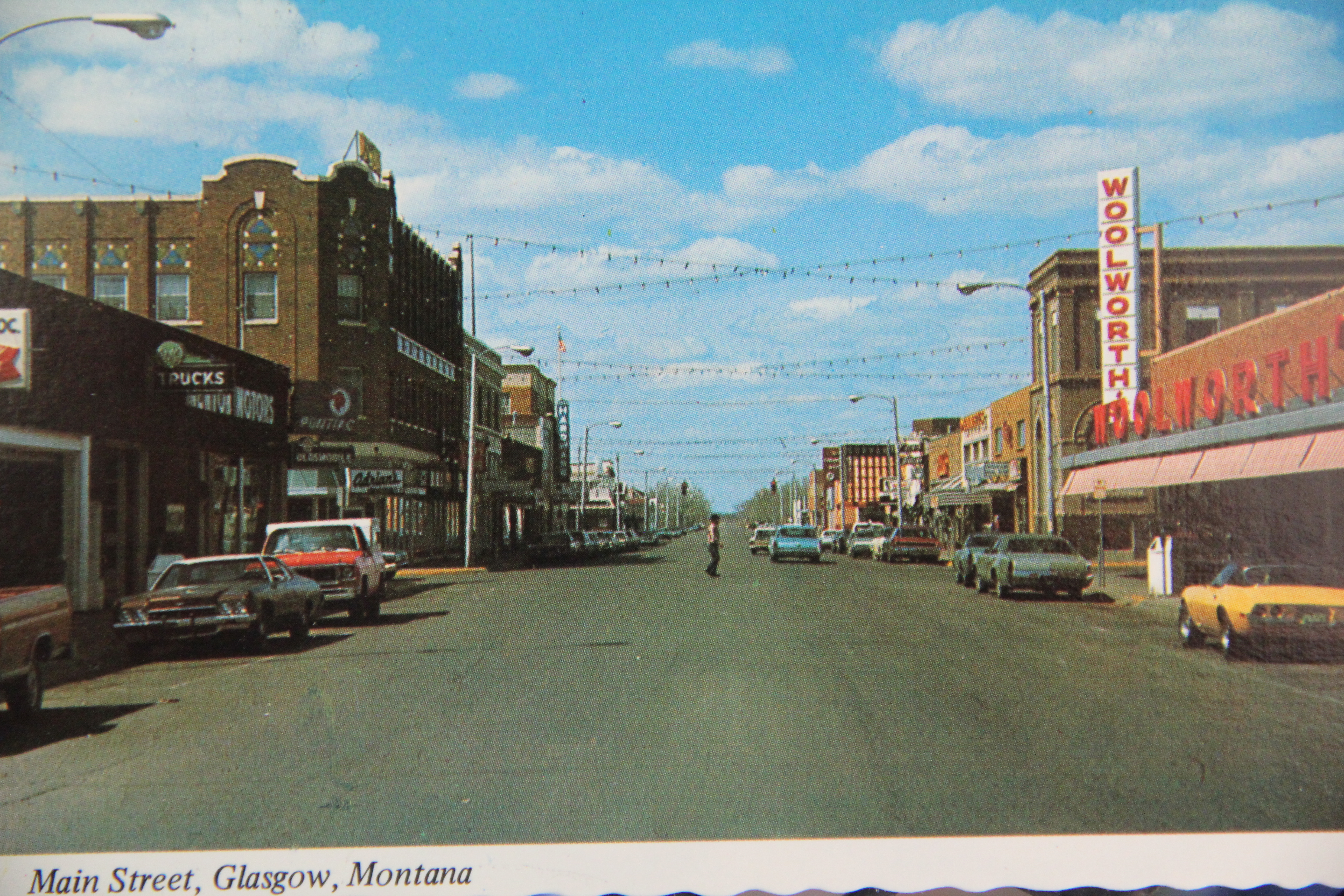
Glasgow, the seat of Valley County, has a rich small-town urban landscape, among the best along the Hi-Line of U.S. Highway 2. Although businesses and population has struggled since I spent time there during my 1984 fieldwork (the population dropped from 4,455 in 1980 to 3,250 in 2010), the town retained an edge of vibrancy and vigor.

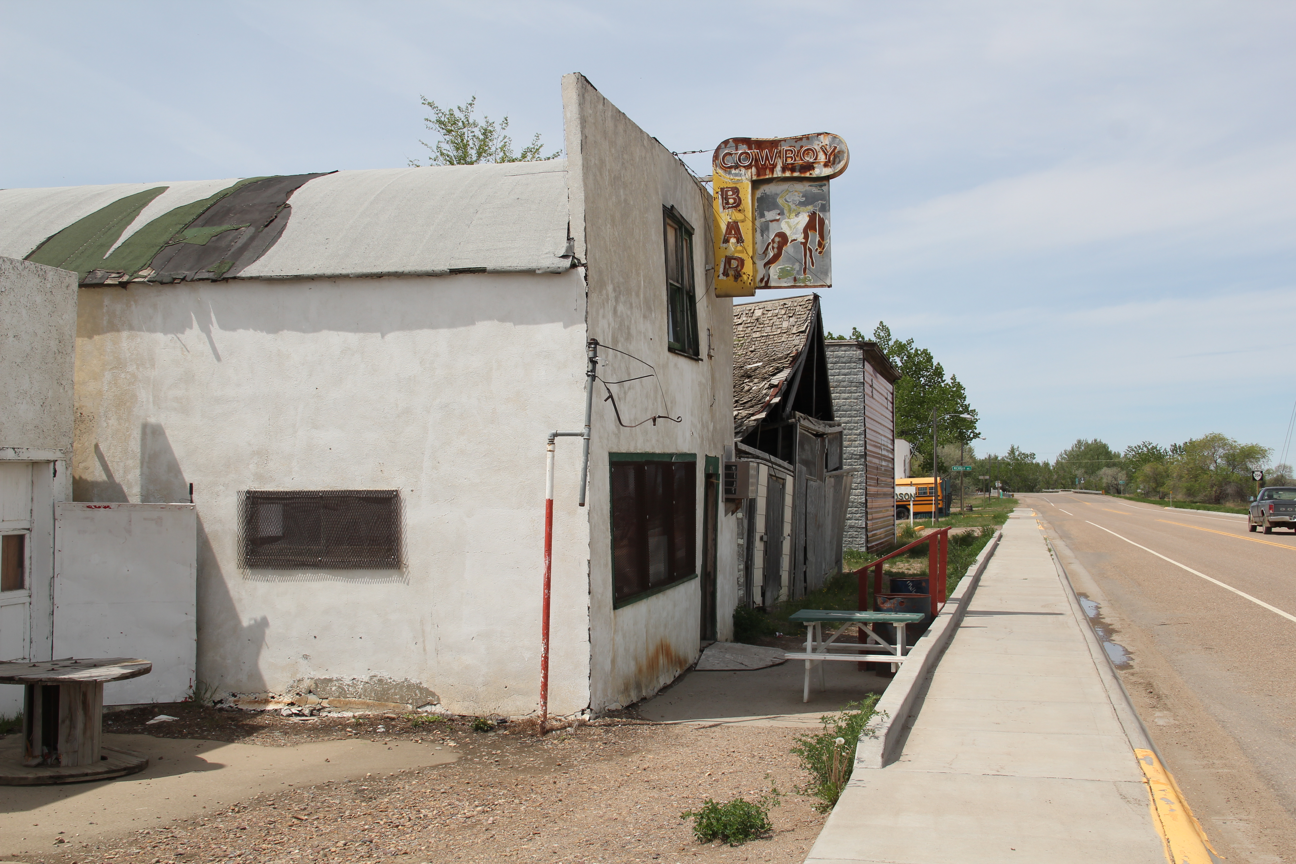
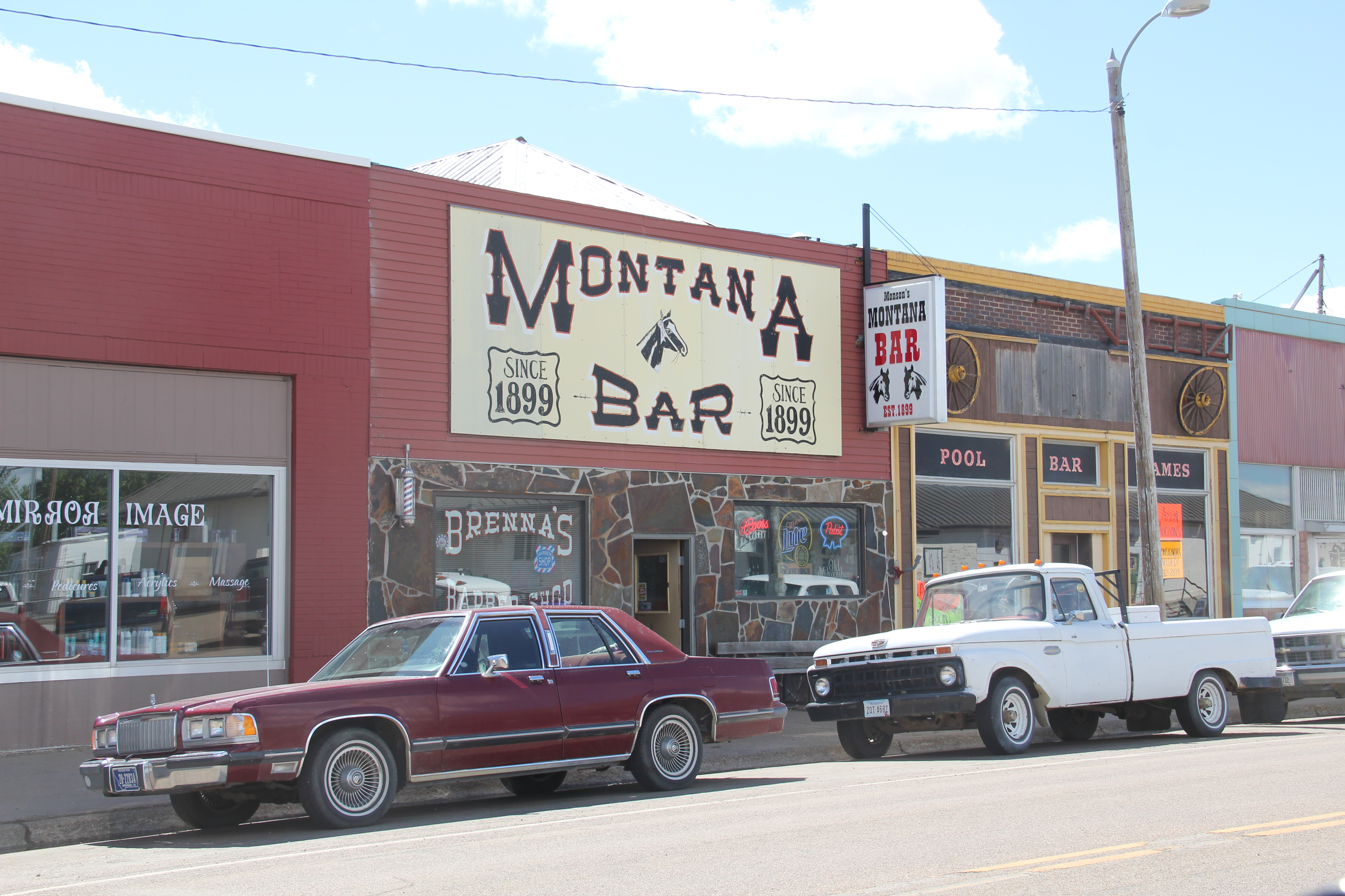
Many of the patterns shaping life in the northern reaches in Montana are still on display within Glasgow, starting with the original impact of the Manitoba Road, then Great Northern Railway. The combination passenger station continues to serve travelers, who if they wish to step off the train will find a classic strip of bars and cafes facing the depot.
The railroad corridor has deeply imprinted the town, with giant elevators dominating the skyline while even the highway as it dips under the tracks by means of the New Deal-era underpass pays tribute to the true “right-of-way” through Glasgow.


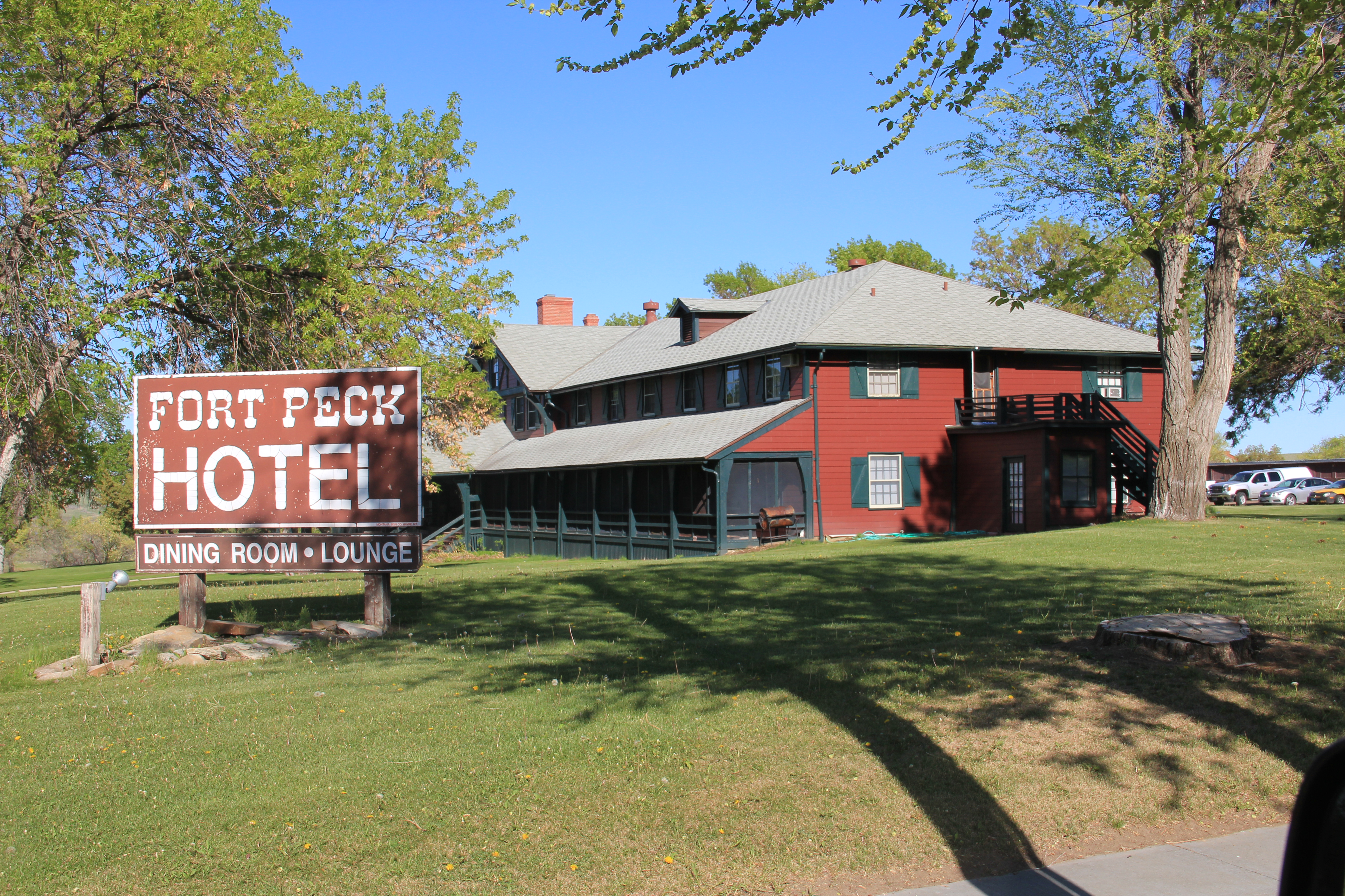
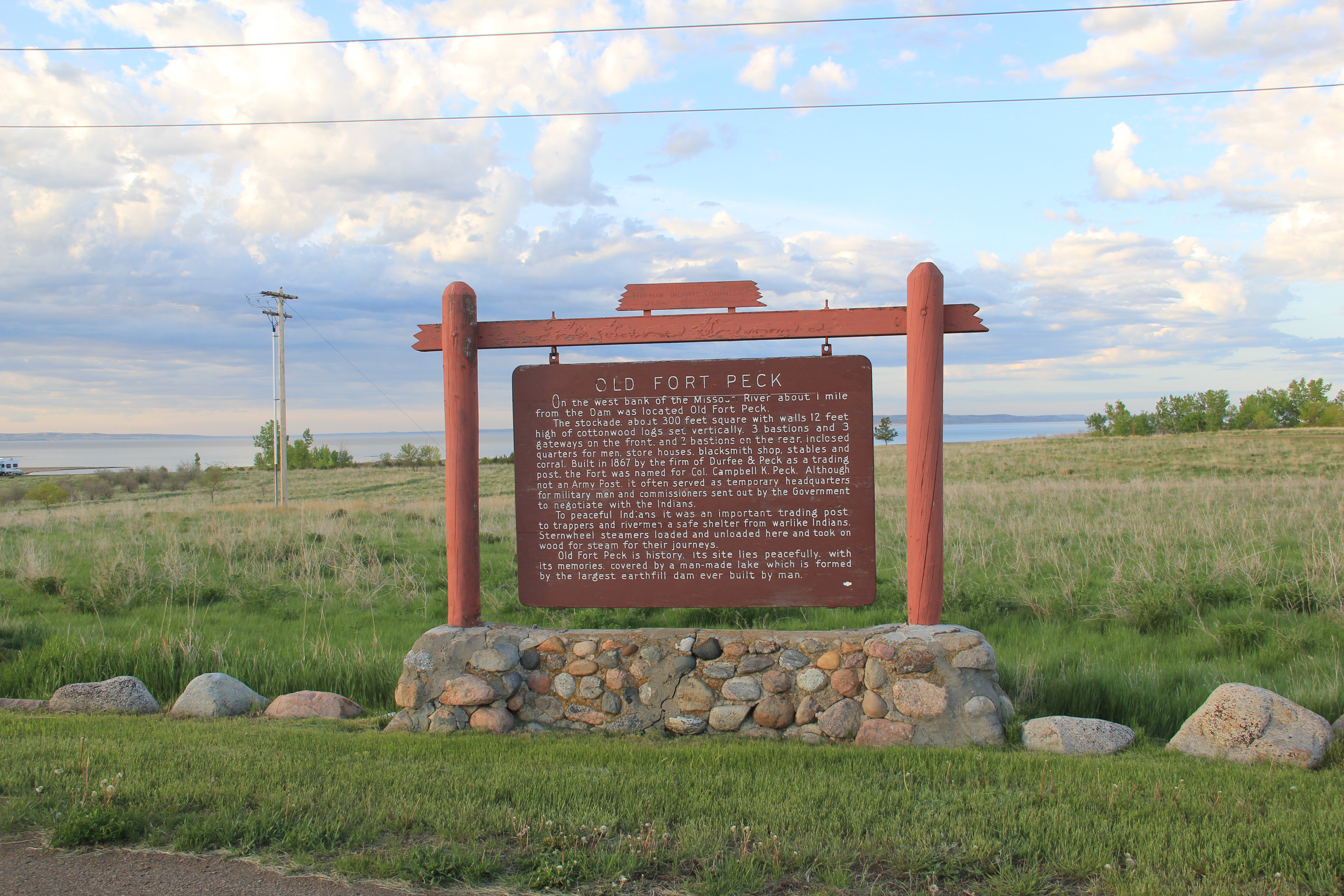
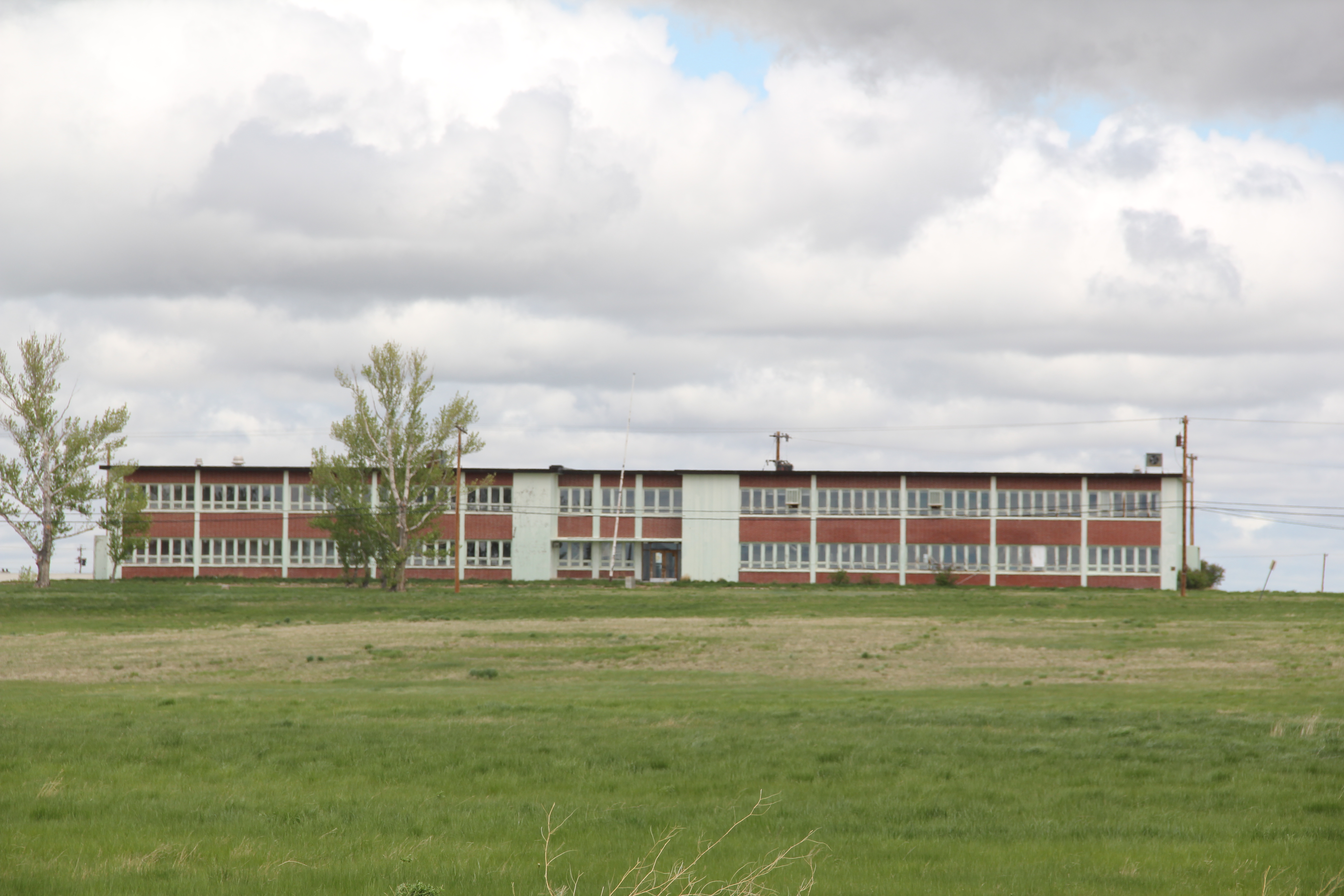
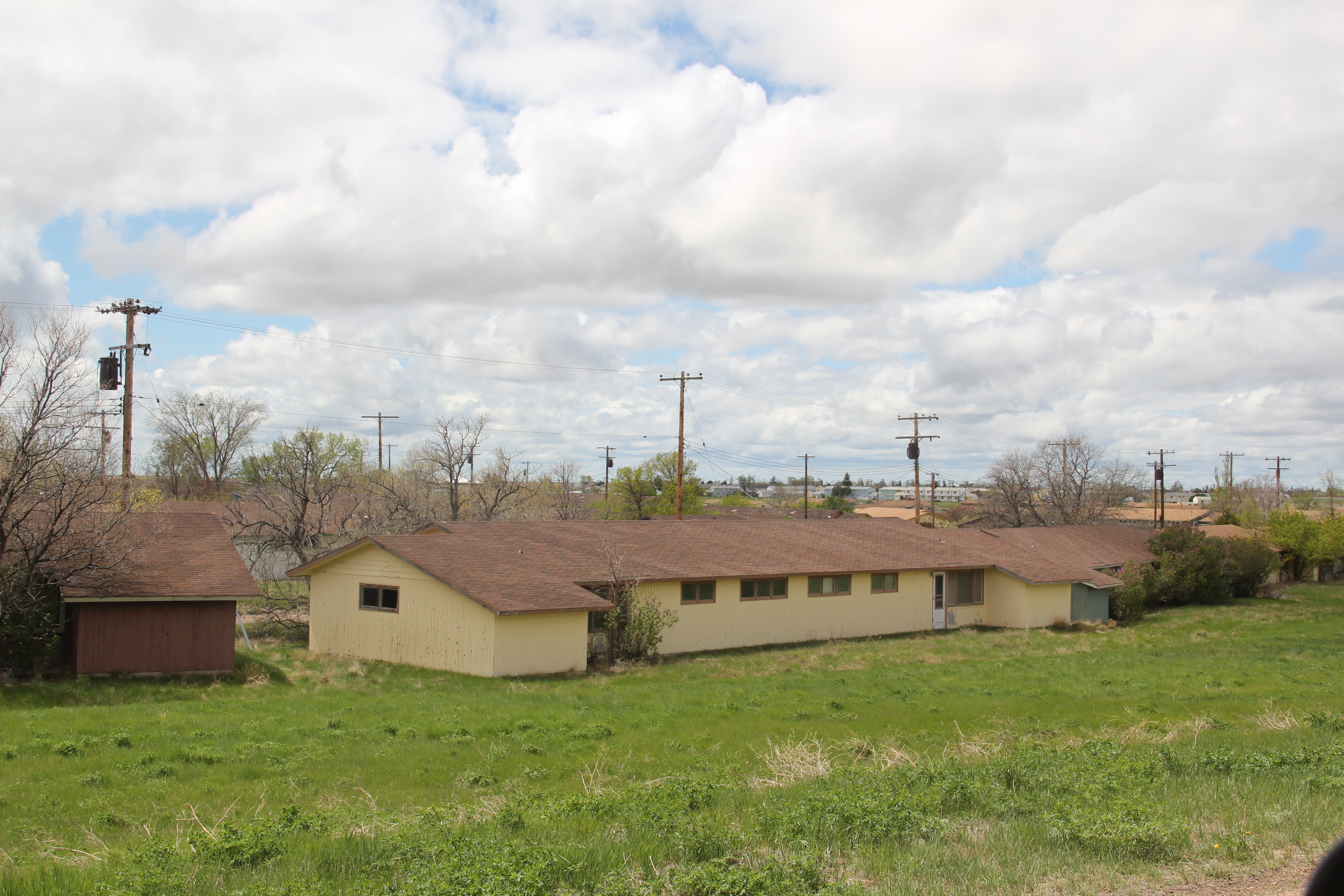
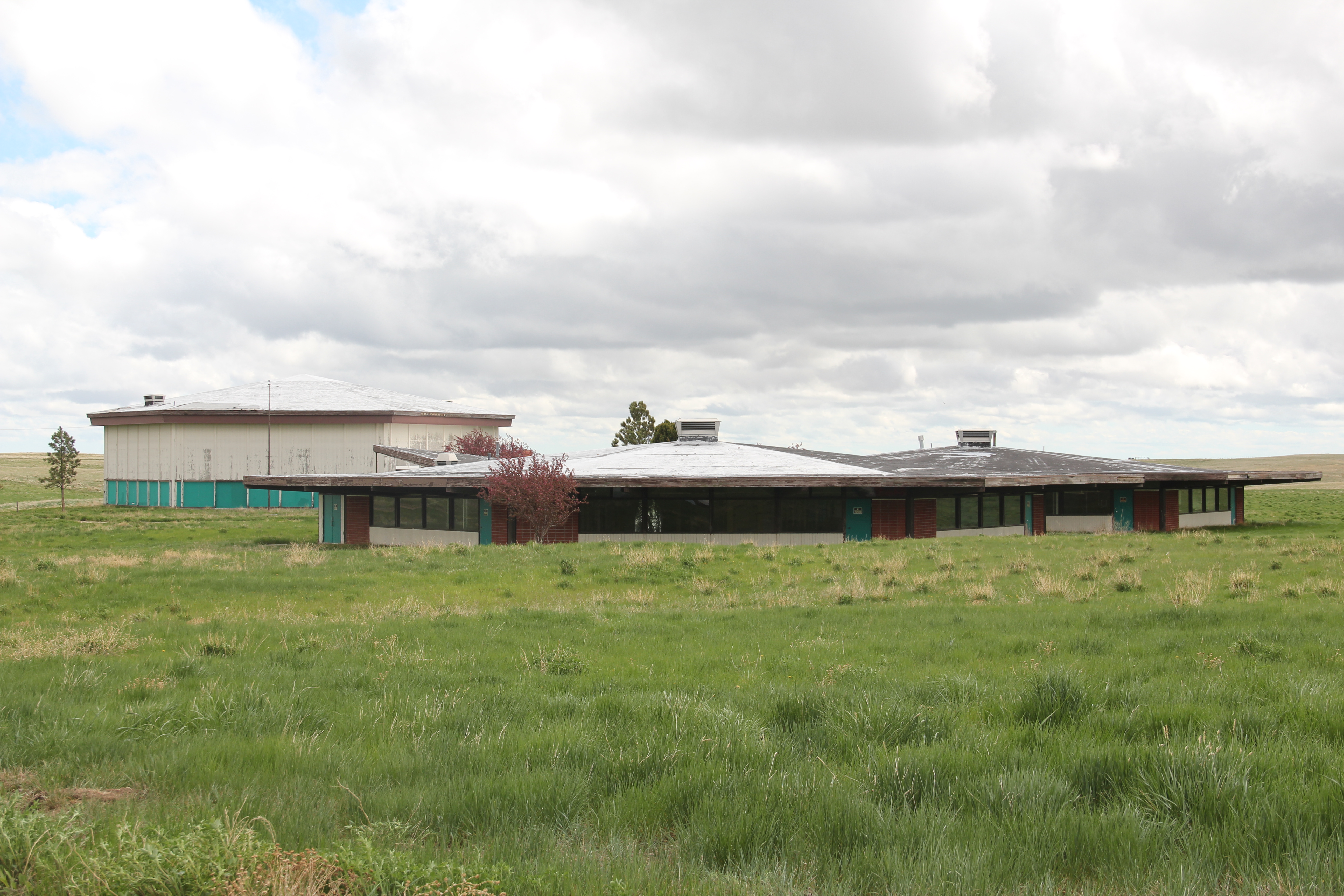
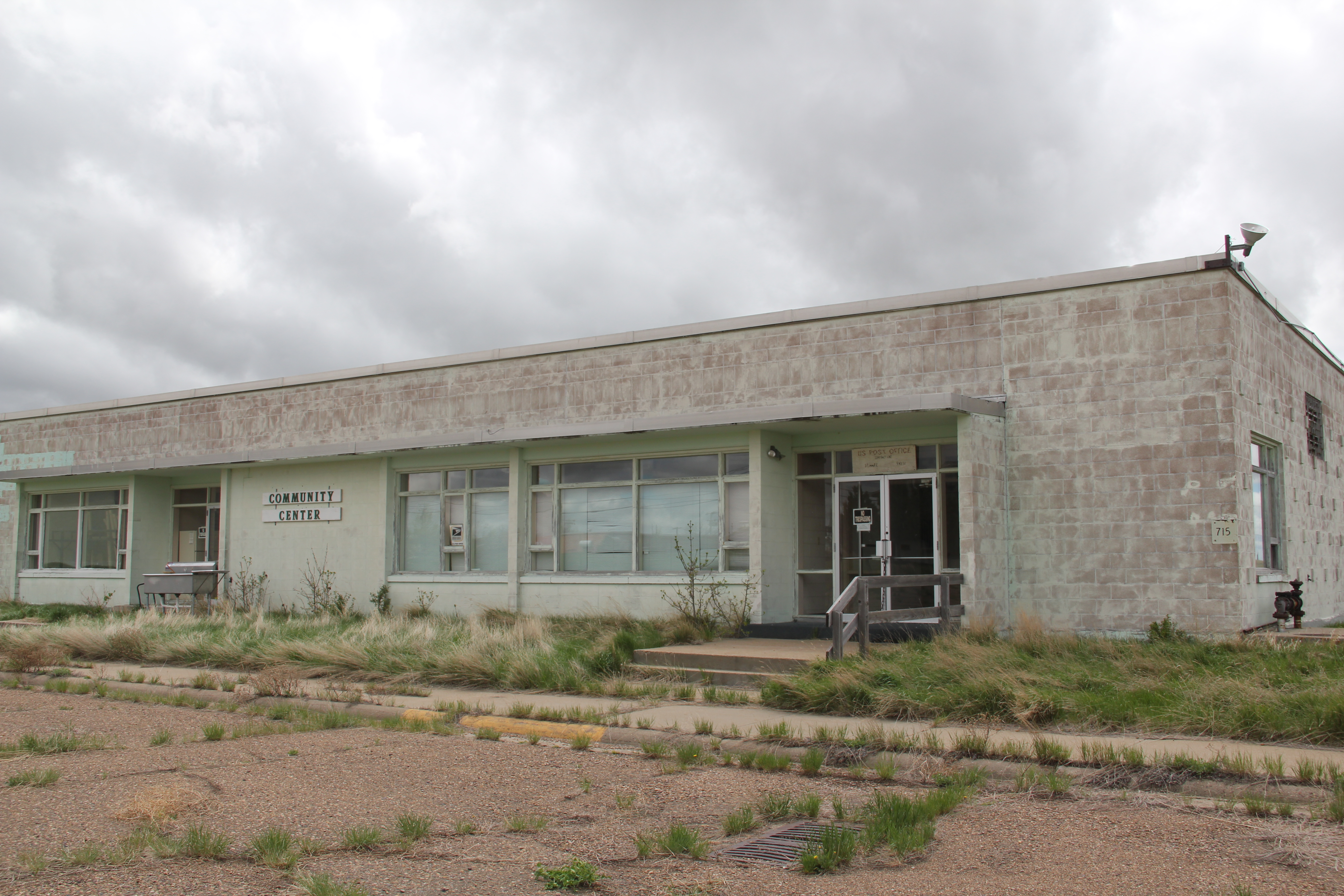
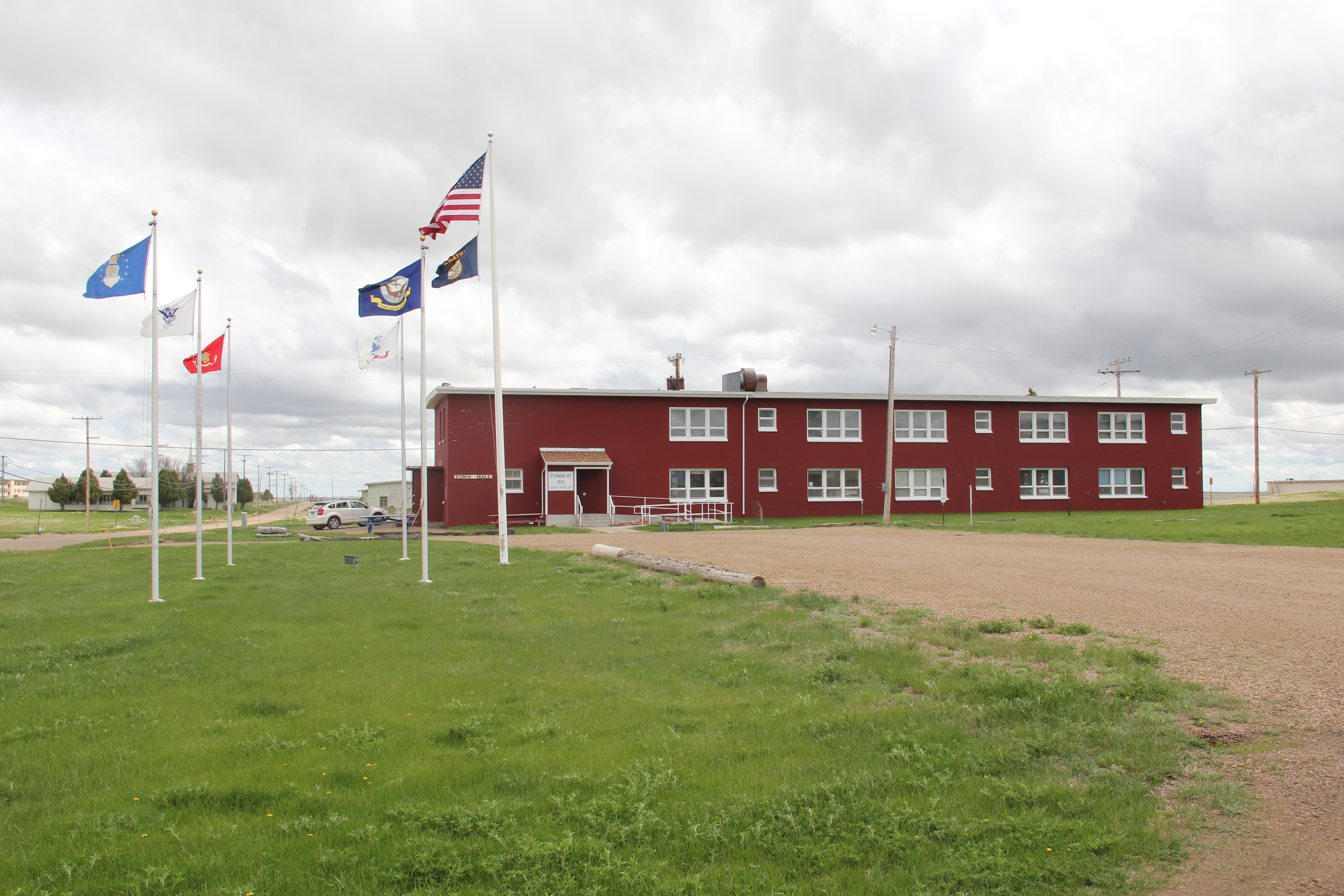
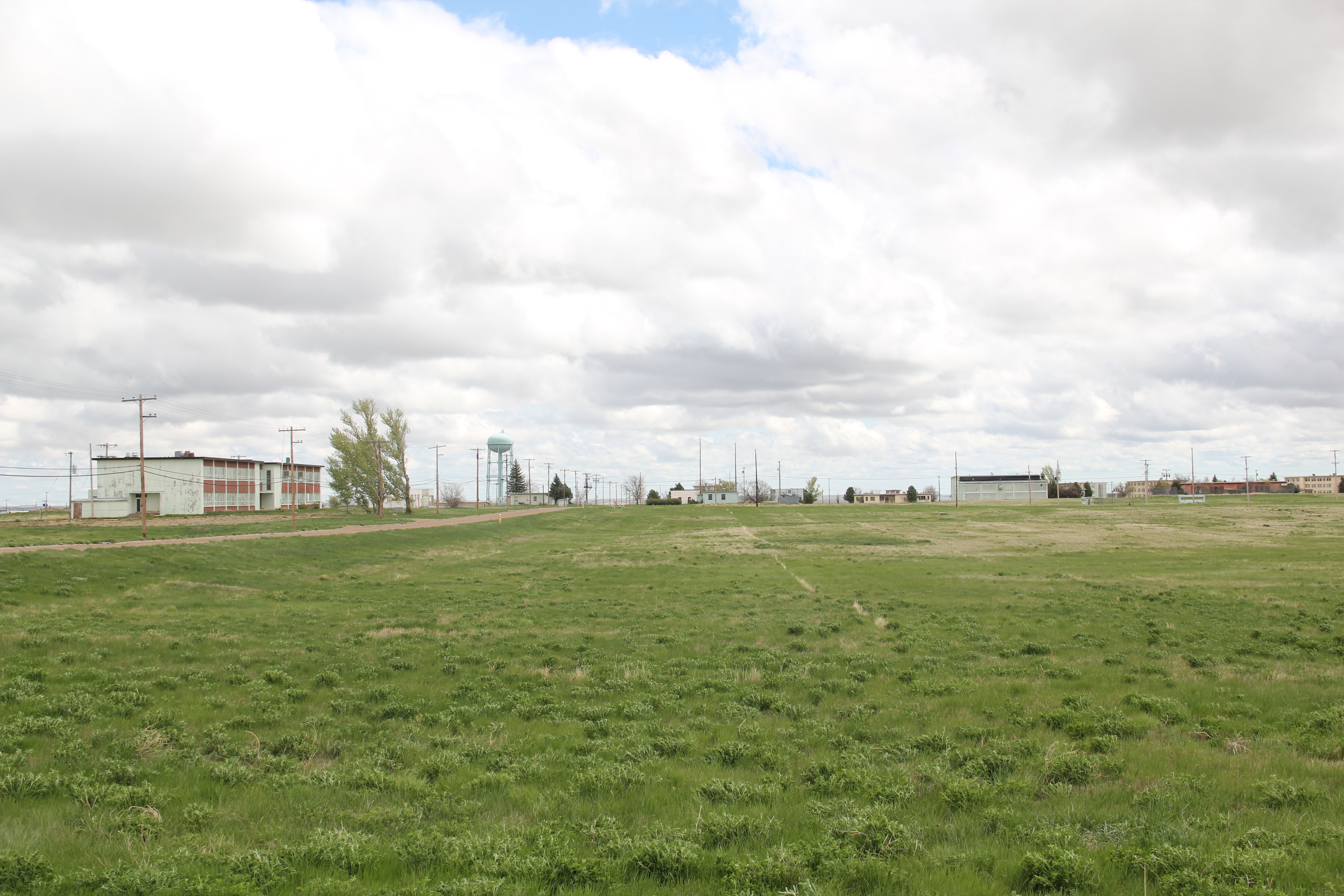
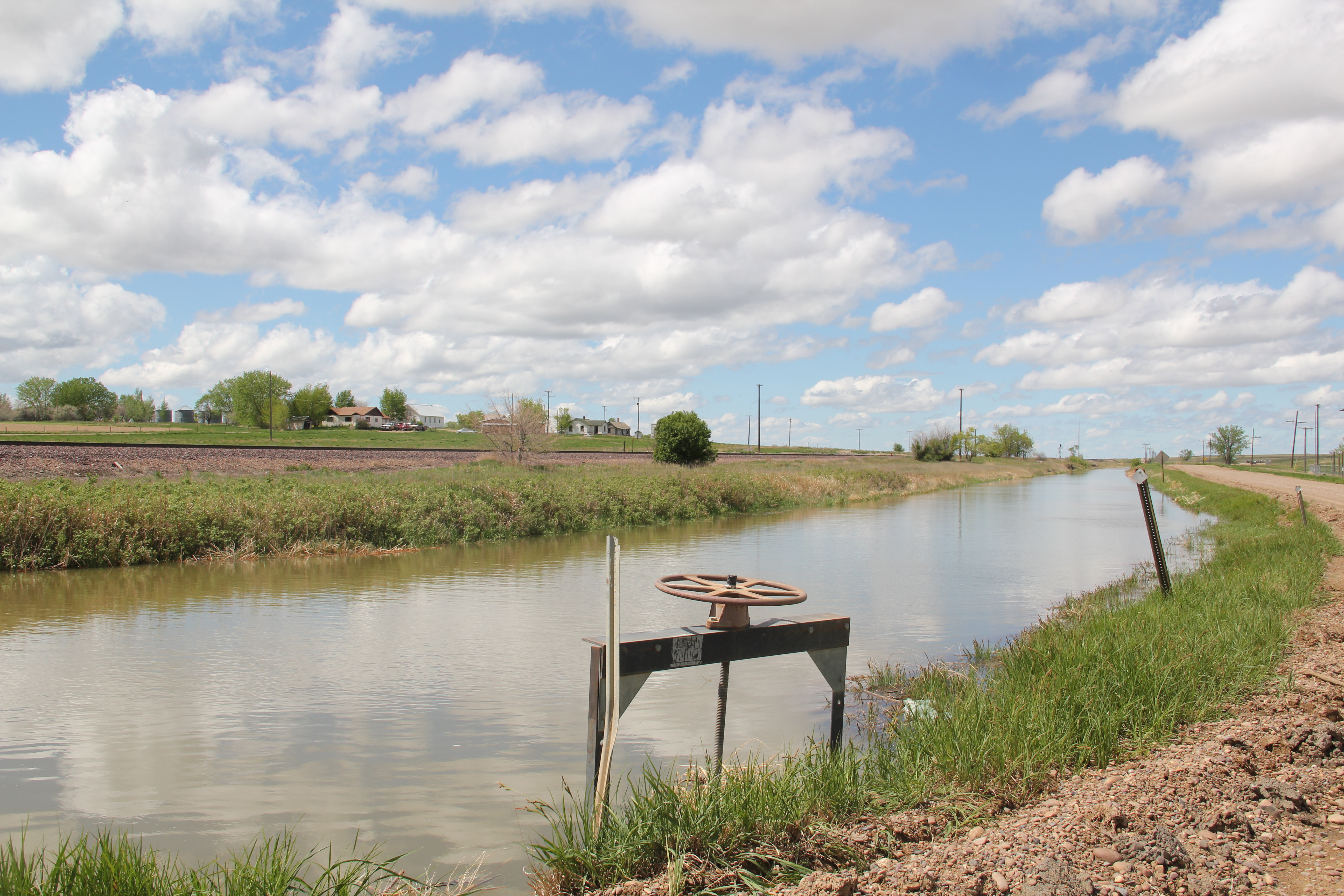
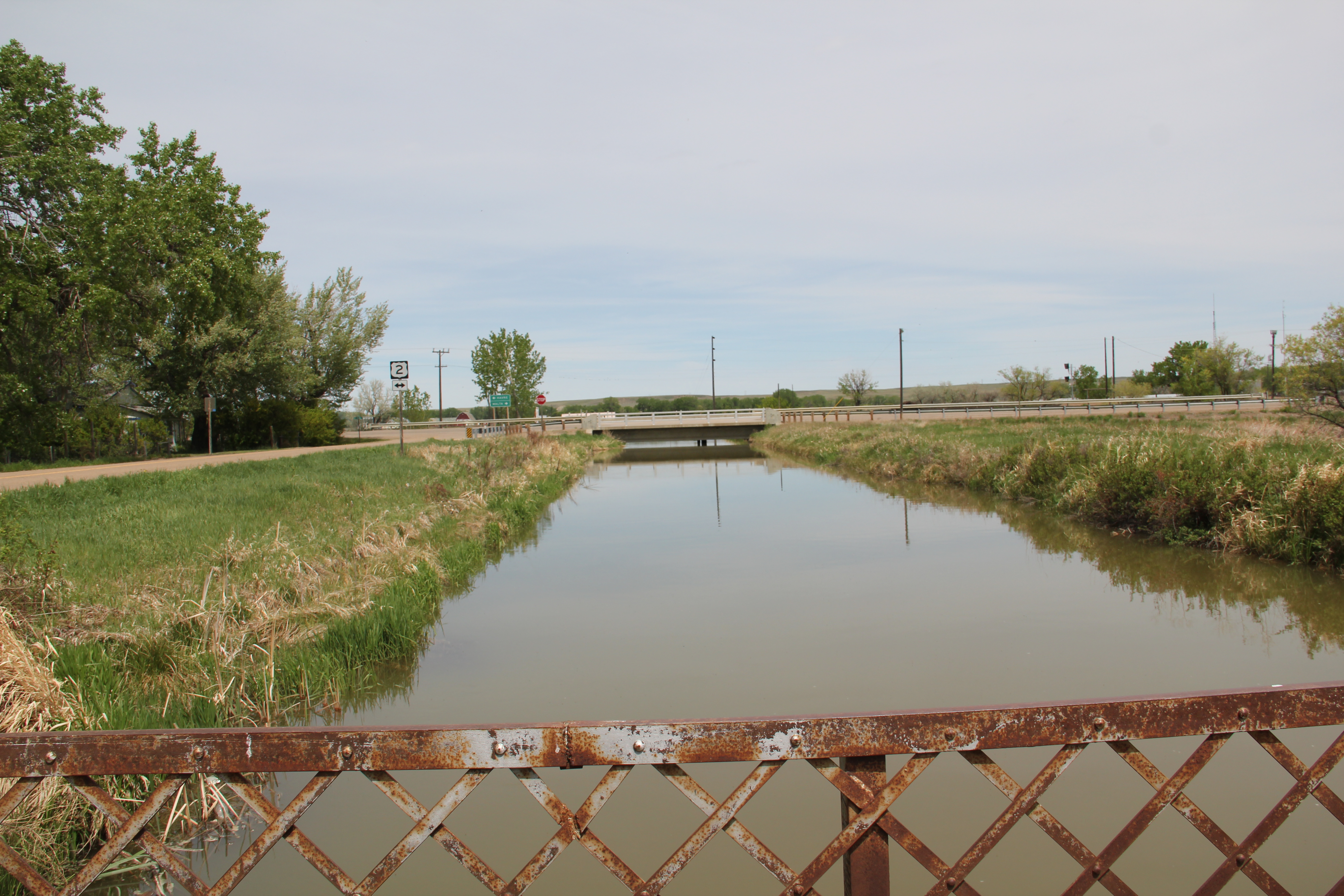
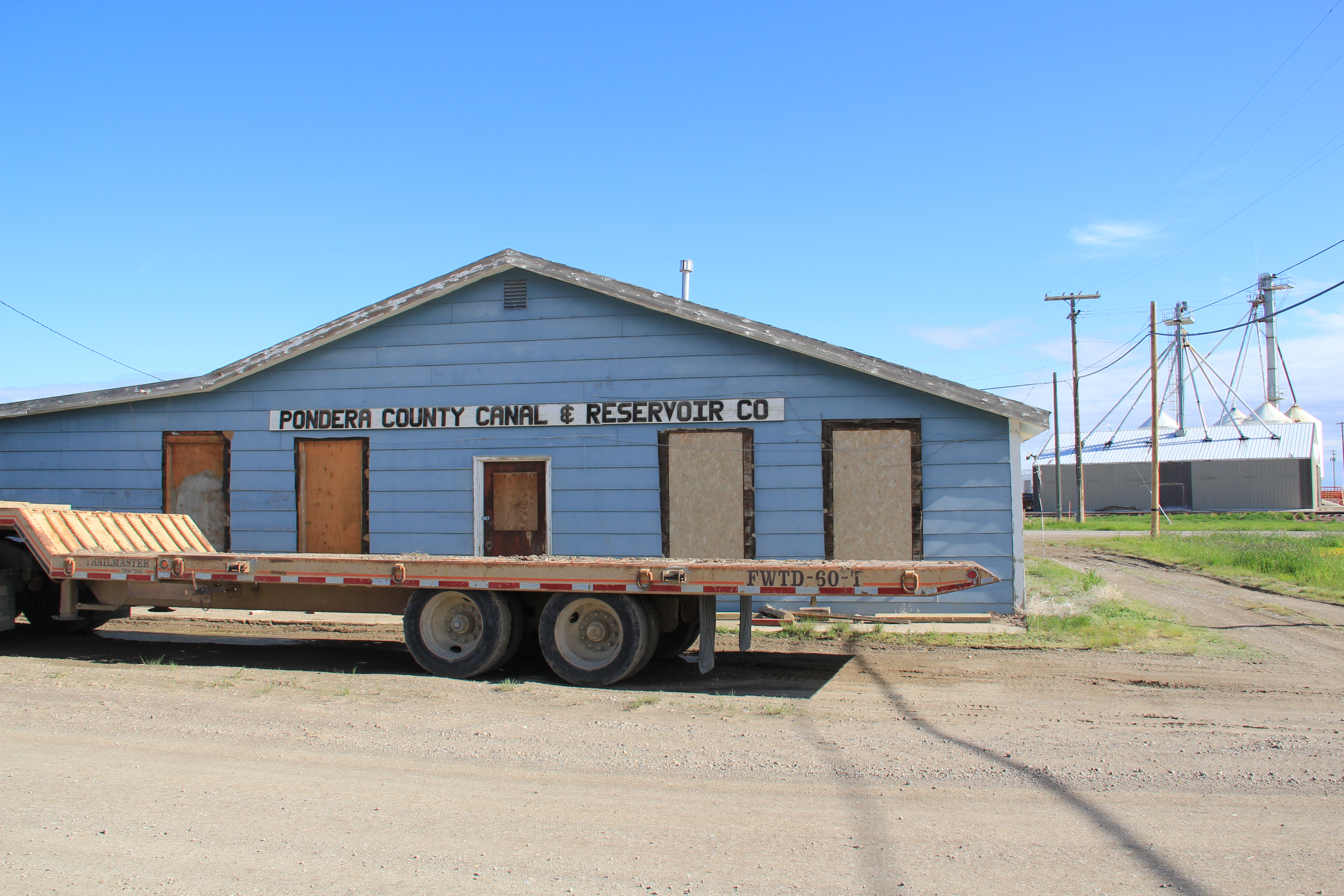
So too has the federal government left a deep imprint on the town, from the irrigation projects of the U.S. Reclamation Service to the construction of Fort Peck Dam in the 1930s and then the Glasgow Air Force Base in the late 1950s and 1960s. The Glasgow Post Office and Federal Courthouse lies at the heart of downtown, reflecting in its blocky massiveness and Art Deco styling the federal presence.

Just as important, the building tells the federal side of the local story through the New Deal mural, “Montana Progress,” by artist Forest Hill that adorns the lobby. It is one of the state’s six extant New Deal post office murals. Here the coming era of progress–symbolized by railroads, irrigation (the sugar beet factory), Fort Peck Dam and electric power–supplants cowboys, Indians, and the rural landscape itself.


Another landmark featured in the mural is the Glasgow Civic Center, part of the larger effort to create community institutions in the face of the often overwhelming sense of change and despair during the Great Depression. The Civic Center still serves as a town anchor, an important part of Glasgow’s public landscape.

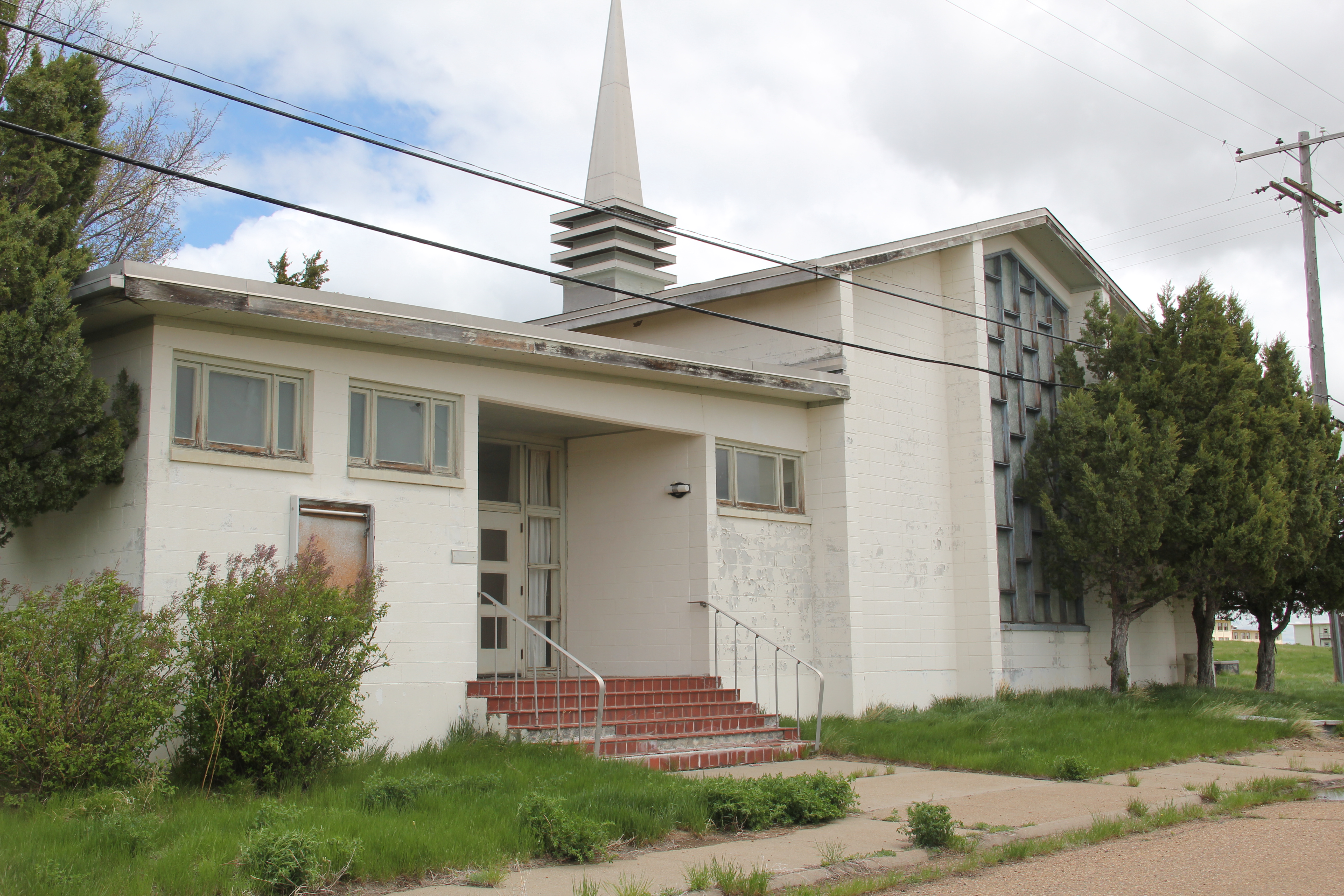
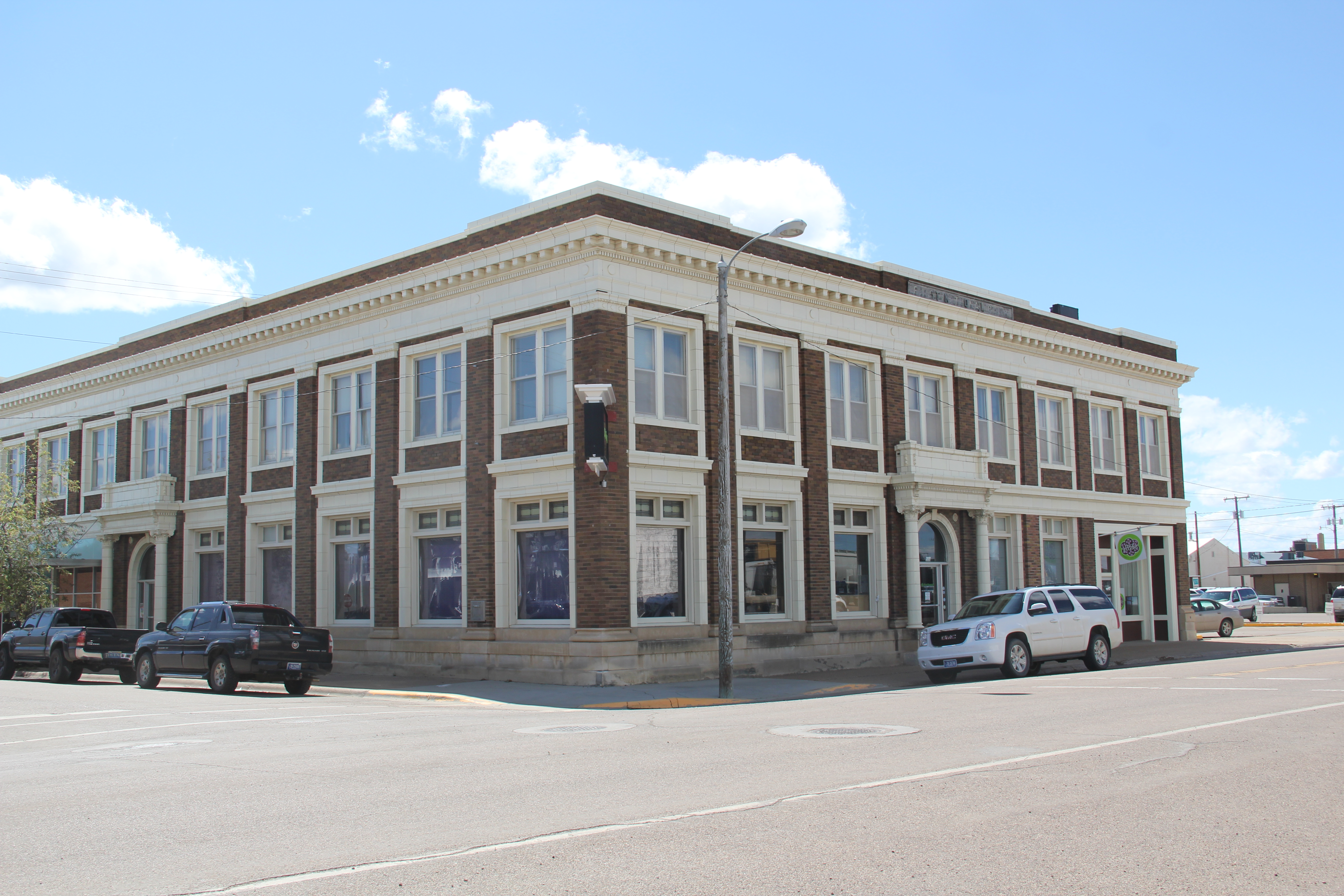
The federal imprint left a decided modernist turn to the townscape, although preservation efforts in the last generation have kept earlier classical or revival-inspired buildings part of the town, such as the Goodkind Block, the First National Bank, and especially the Rundle Building, which may be the town’s most distinctive architectural statement from its initial settlement and development era.


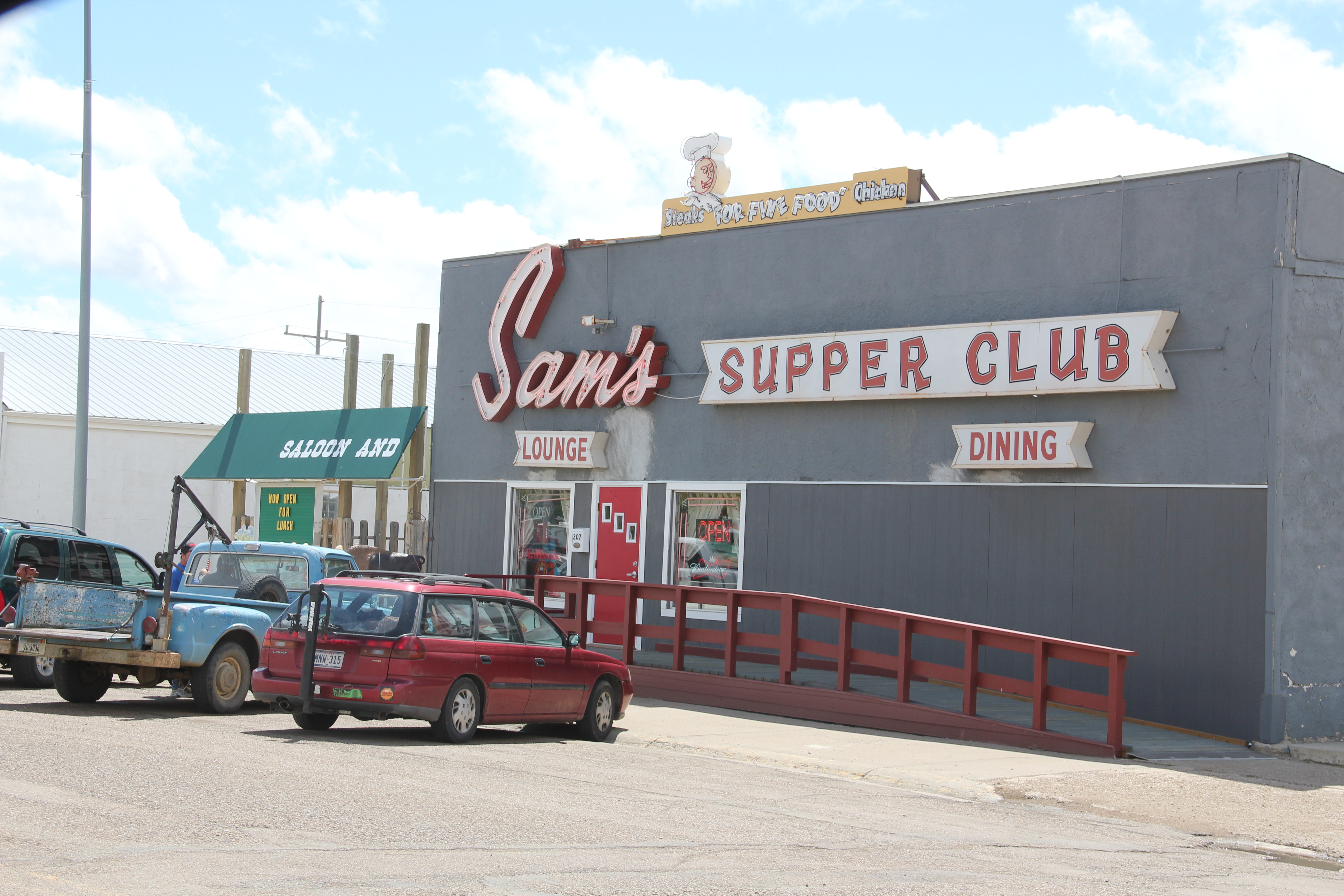
The highway corridor shows the modernism of the 1950s most graphically through restaurants, bank buildings, and signs designed to grab the attention of all those who entered.


Glasgow’s built environment tells the story of how federal programs, from irrigation to New Deal to the Cold War, could leave marks still apparent in the 21st century.