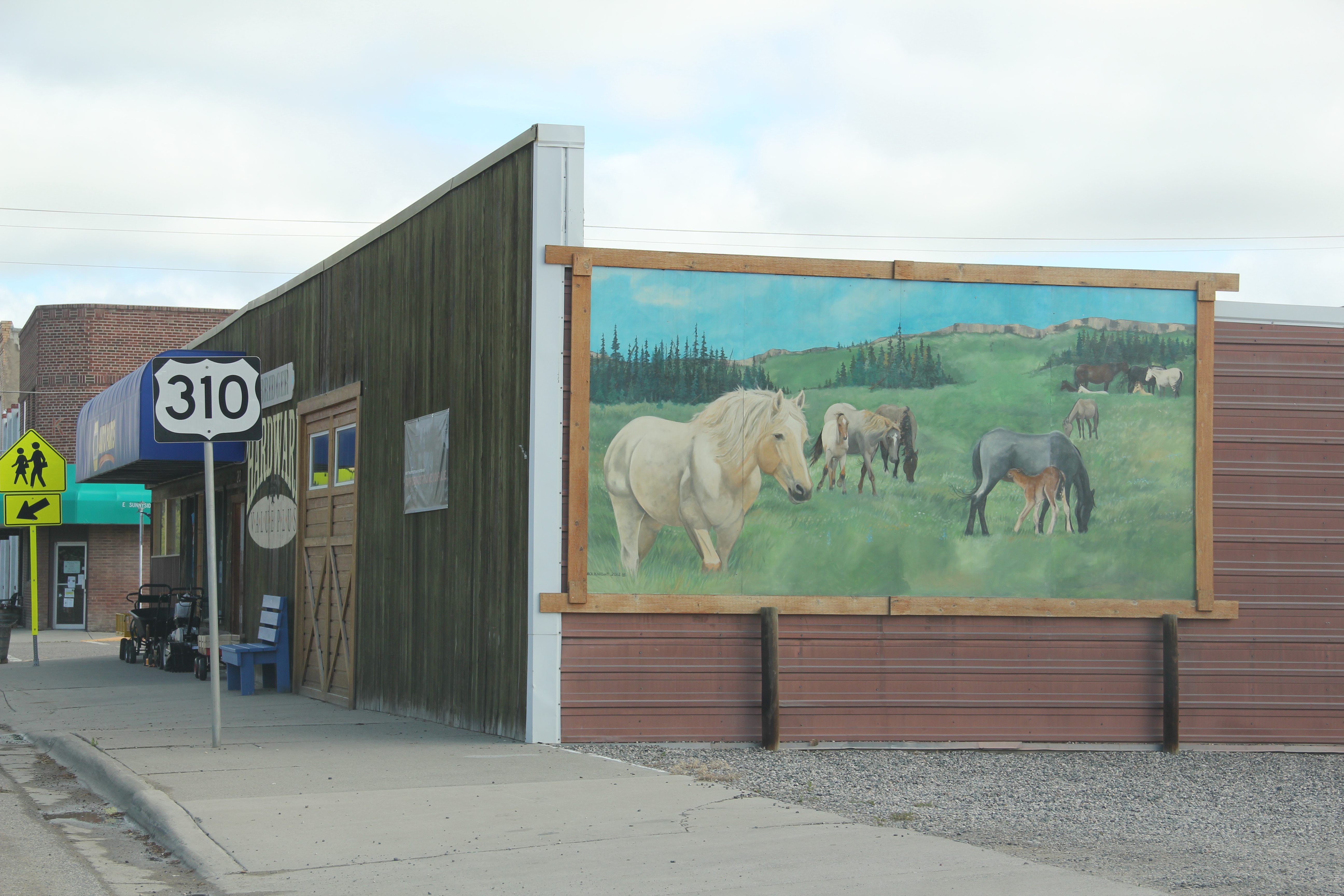
On this wintery day I return to Big Hole National Battlefield, one of the most solemn and sacred places in Big Sky Country, out of a request from a MTSU graduate student who is trying to come to grips with western battlefields and their interpretation. In 2013 I posted about the new visitor center museum exhibits at Big Hole, lauding them for taking the “whole story” approach that we have always attempted to take with our work in Tennessee through the Tennessee Civil War National Heritage Area.
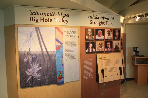
The Big Hole Battlefield exhibits, how at least 5 years old, do the whole story approach well, as you can see from the panel above where voices from the past and present give you the “straight talk” of the Nez Perce perspective.


One of the most telling quotes on how the military viewed the original residents of the northern Rockies is not that of Sherman–damning enough–but the one above by General O.O. Howard, best known in the American South for his determination and leadership of the Freedman’s Bureau and its attempt to secure civil rights for the newly emancipated enslaved of the nation.


The exhibit panels, together with a new set of exterior interpretive panels scattered across the battlefield, do an excellent job of allowing visitors to explore, reflect, and decide for themselves. The more comprehensive approach to telling the story is nothing really new. NPS historian Robert Utley called for it decades ago, and Marc Blackburn recently reviewed efforts across the country in his excellent book, Interpreting American Military History (2016). For the Big Hole itself, all scholars can benefit from Helen A. Keremedjiev’s ethnographic study of this park and other military sites in Montana in his now decade old master’s thesis at the University of Montana.

Of course Big Hole Battlefield is now part of a larger thematic effort, the Nez Perce Historical Park, to mark and tell the story of Chief Joseph and his attempt to find a safe haven in land that once the tribe had dominated. These few images, which, as many of you regular readers know, can be enlarged and viewed intently, only start the exploration–you really have to go to the Big Hole to understand what the events of 1877 meant to the new residents flooding the country and those who had lived and thrived there for centuries.


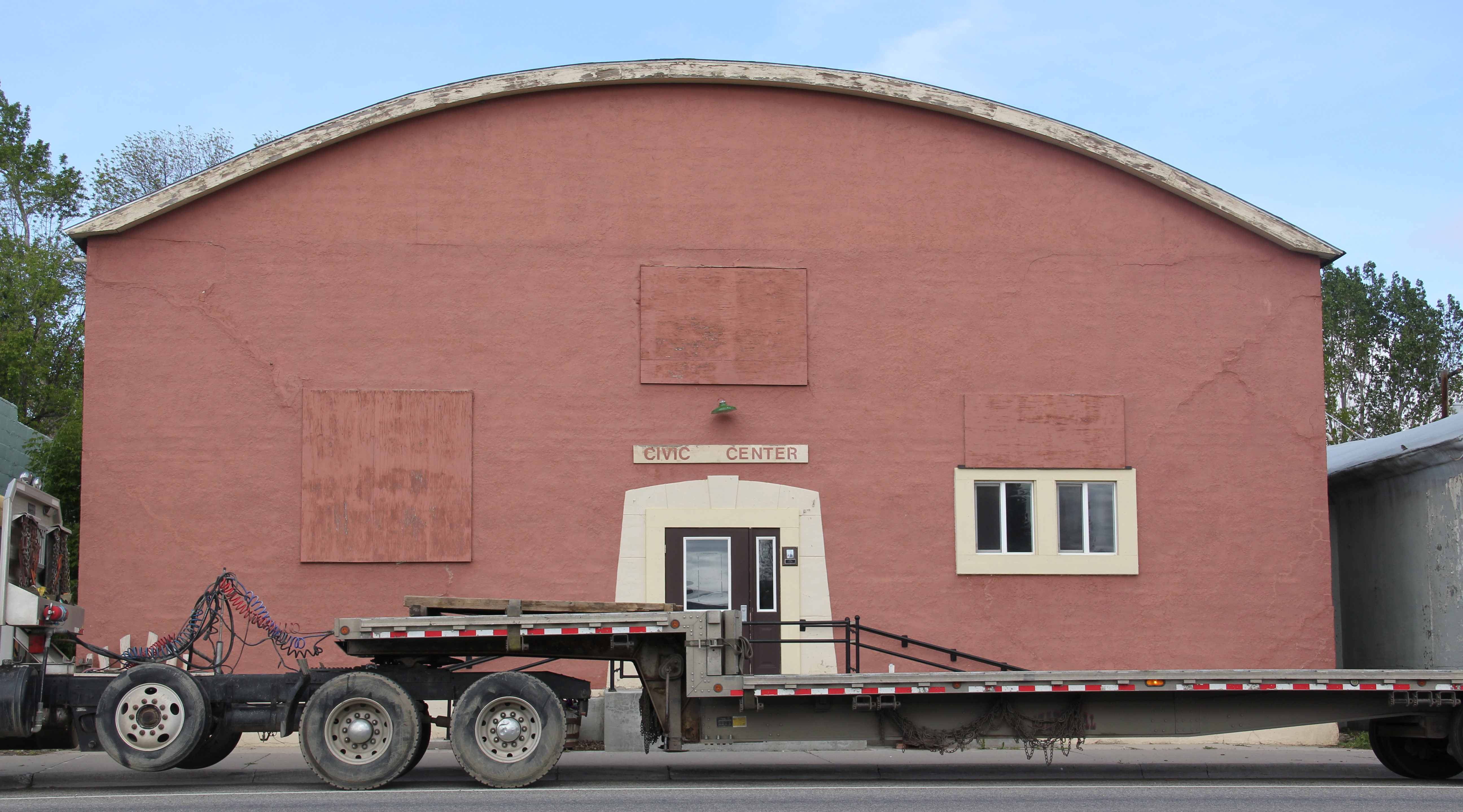
 Even the local museum was at the beginning stage, sharing quarters with the chamber of commerce in a Ranch-style building, like the park, on the outskirts of town.
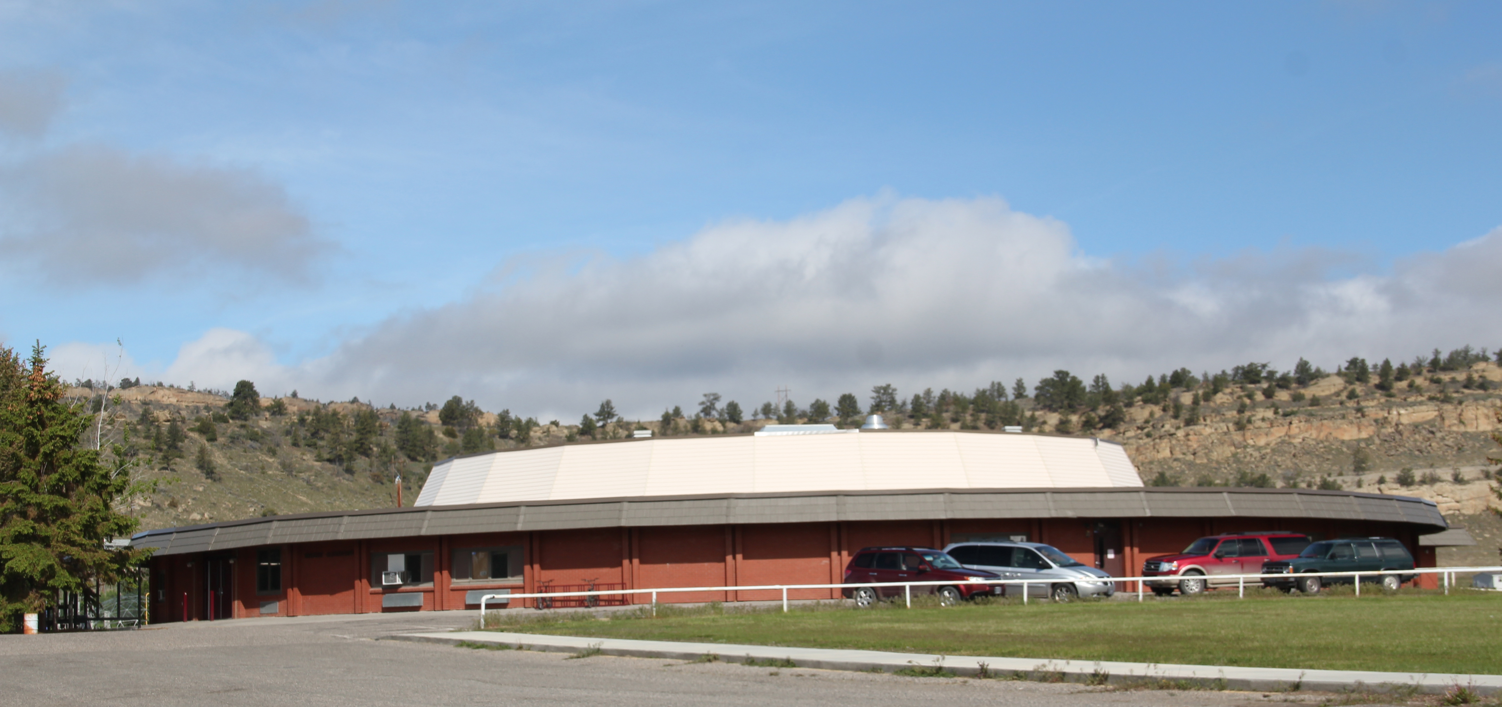
 How times changed over 30 years. The museum is still at its location but adjacent is now a new facility, replicating a huge barn, expanded exhibits and artifacts about the region’s history.
 Markers about National Register-listed properties and districts exist throughout town, courtesy of the exemplary interpretive marker program of the Montana Historical Society.
 What happens within town is supported by recent interpretive marker installations at the highway rest stop as you enter Lewistown. From this spot there is an excellent view of the historic Lewistown airfield, listed in the National Register of Historic Places, for its significance in World War II aerial supply lines and defense.
 Not only can you see the historic district, you also can learn about its significance through an interpretive marker developed by Montana Department of Transportation.
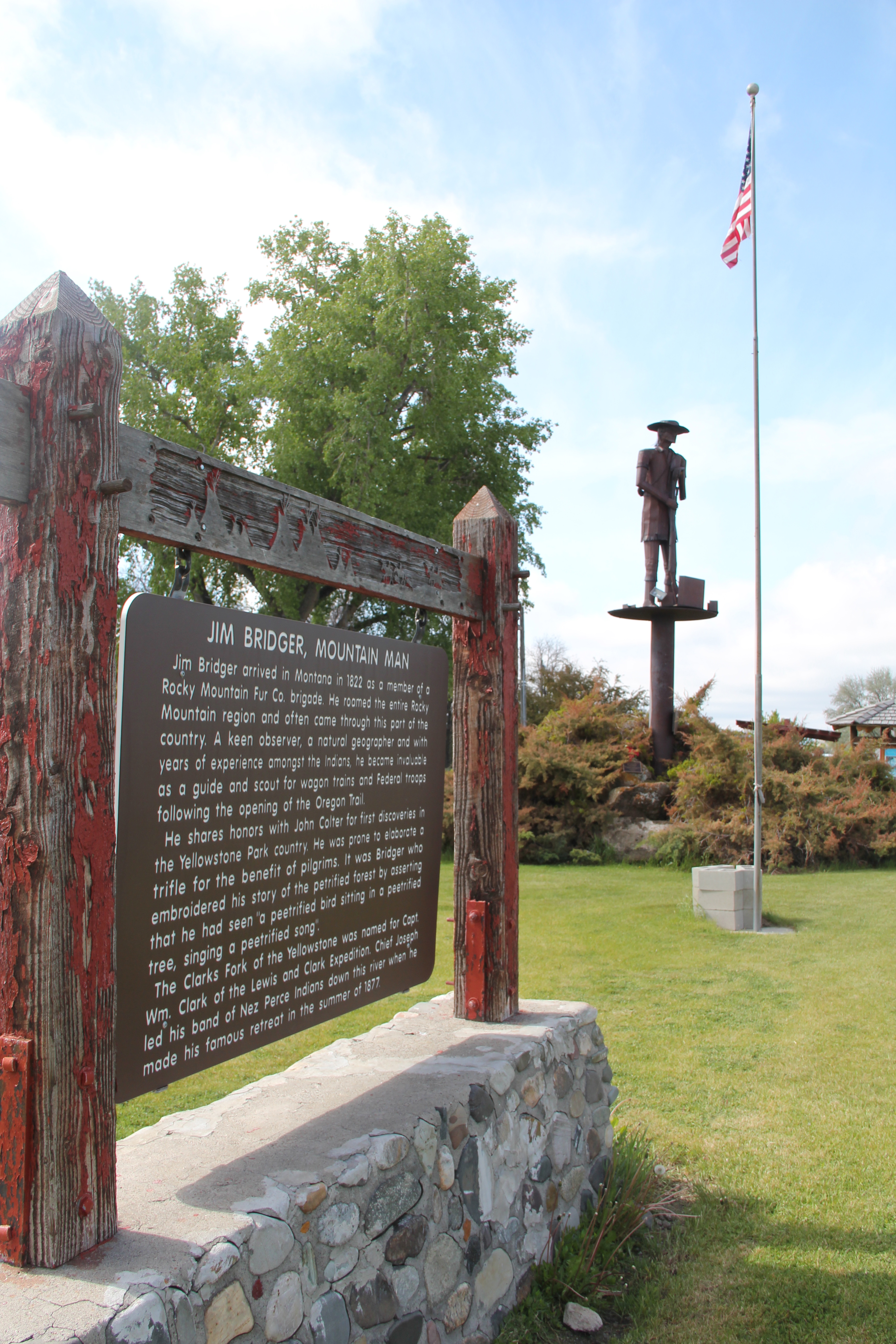
 Steps away is another interpretive kiosk, related to an earlier, sadder military story, that of Chief Joseph of the Nez Perce Indians and their attempted flight to freedom in Canada in the 1870s. Both markers also emphasized the overall theme of transportation and how Lewistown has been crisscrossed by important historical events for centuries.
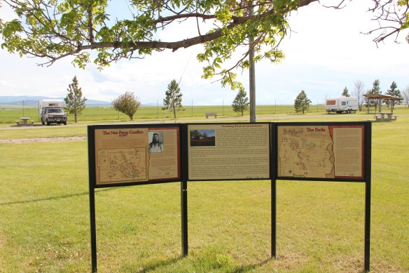
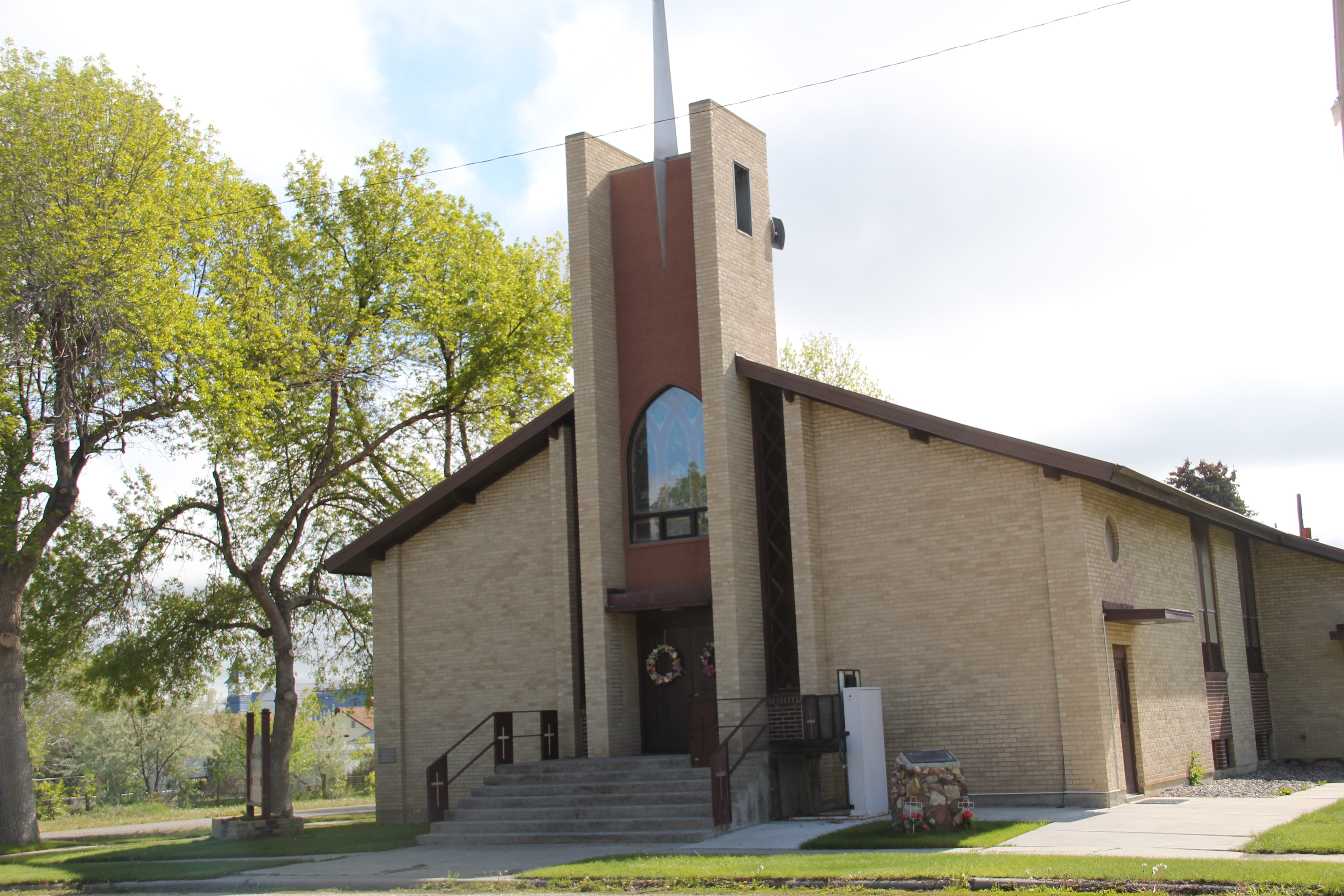
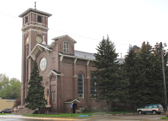 Renaissance revival style from the prominent Montana firm of Link and Haire, and the historic early 20th century domestic architecture in the downtown neighborhoods.
 The town’s historic districts serve as anchors within the commendable trail system developed in Lewistown over the last 20 years. Local officials and representatives, working with the state government and abandoned railroad property and corridors, have established a series of trail loops that not only provide excellent recreational opportunities, as signified in this trail head near the Yogo Inn, but also paths for heritage tourists and
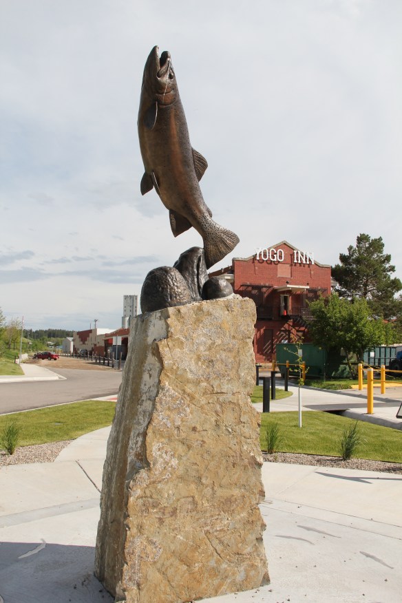 residents alike to explore the landscape, and how history in the 19th and 20th centuries created the place where they live and play today.
 As we will see later in western Montana, like in Butte and Kalispell, trail systems can be the best of heritage development because they take advantage of the state’s greatest asset–its landscape and sense of the Big Sky Country–and combine it with explanations of the layers of history you encounter wherever you go, creating an asset that visitors will like but that residents will cherish, because they can use it on a daily basis.
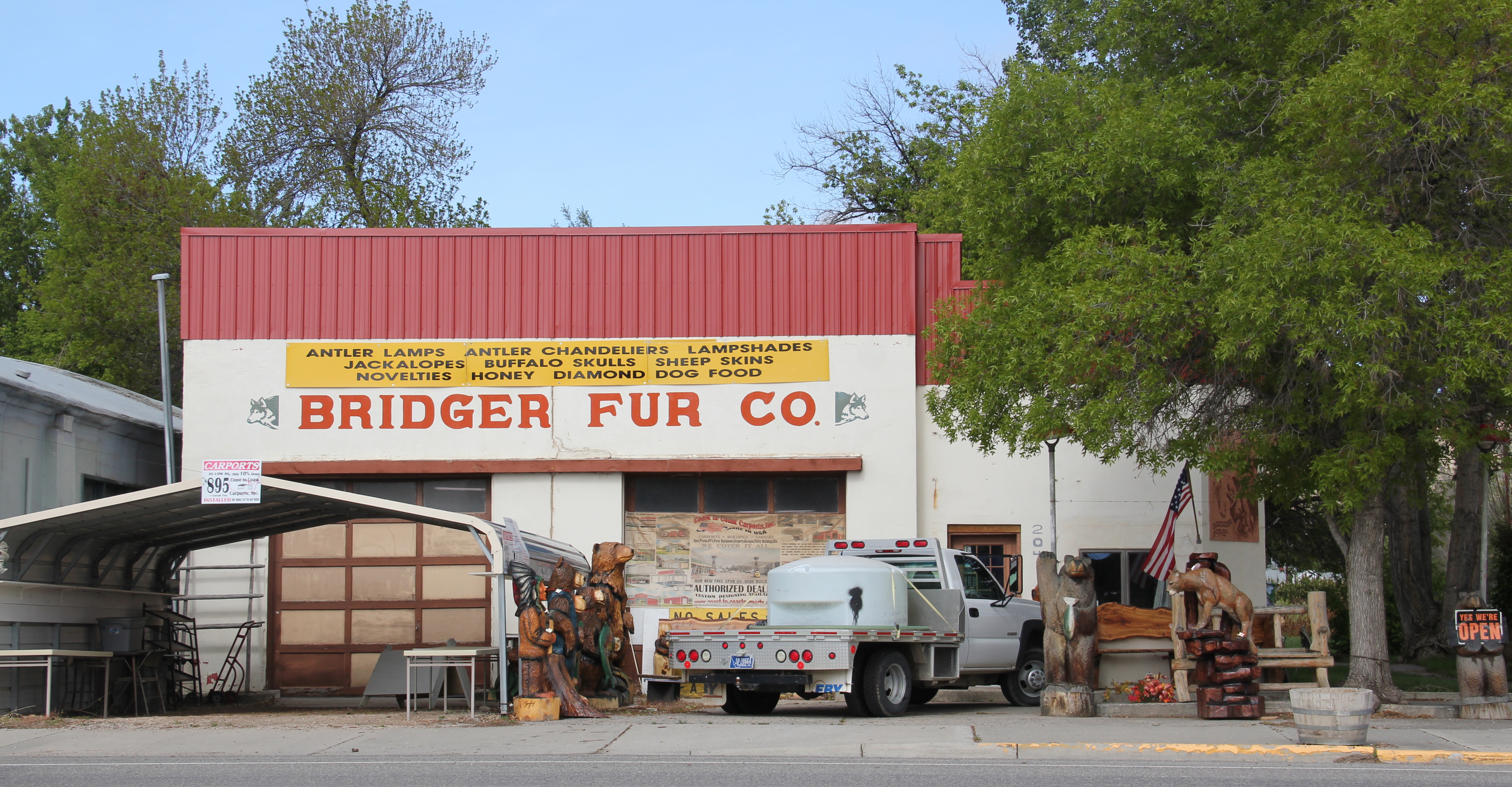
 Of course recreation, to my mind, is never complete unless there are nearby watering holes where one can relax and replenish, and Lewistown is rich in those too, being they the various classic roadside establishments along the highways entering and leaving town or the can’t miss taverns downtown, such as The Mint and the Montana Tavern, where the signs speak to the good times to come. Those properties are crucial for heritage development because they are important in themselves but they also are the places that get people to stop, and hopefully explore.
 Using multiple pasts to create new opportunities for communities: Lewistown has it going, and it’s far different world today than in 1984.