Glendive: the Yellowstone’s first railroad town

IMG_7244
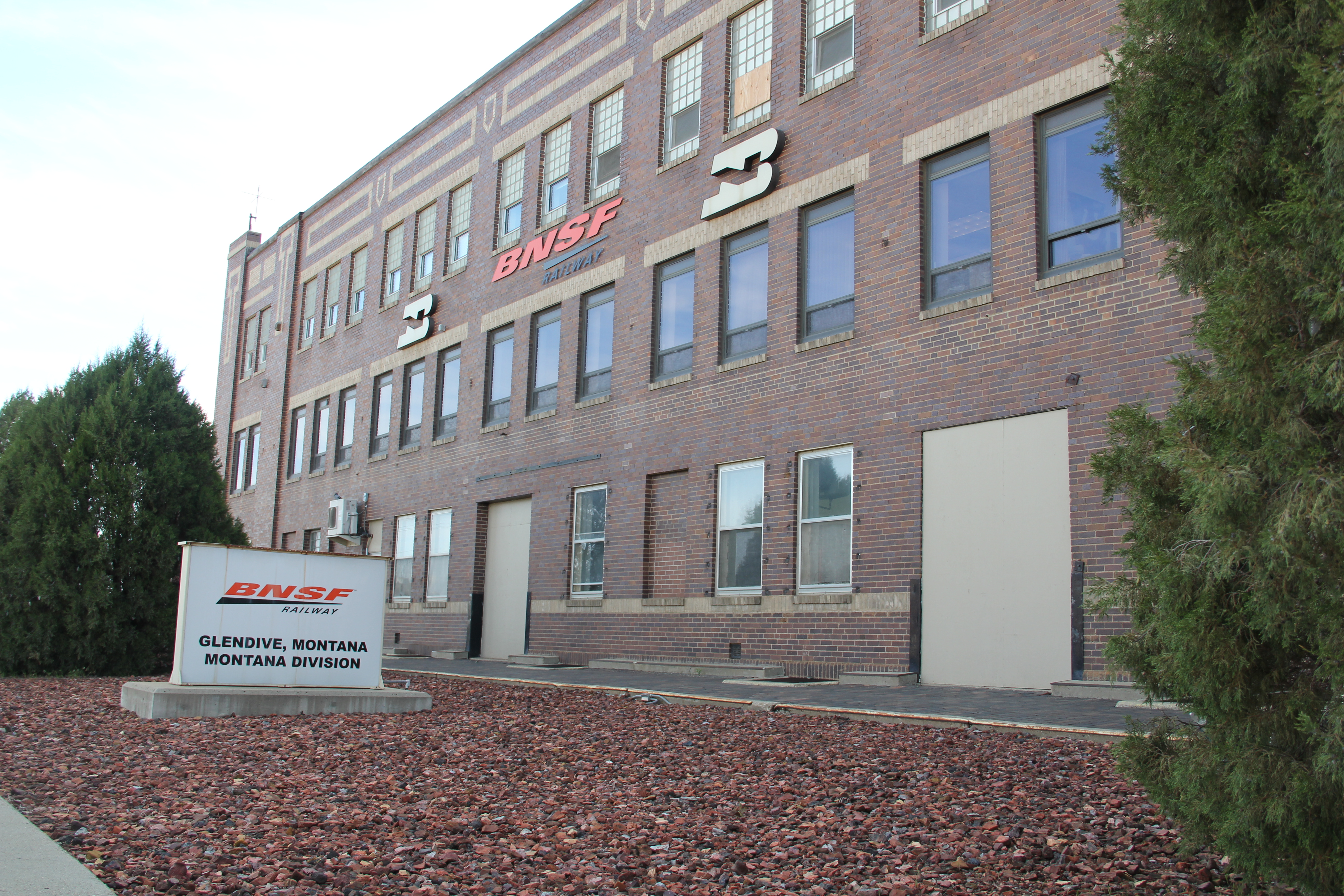
As the tracks of the Northern pacific Railroad pushed west in 1881, they encountered the Yellowstone River at a place that became Glendive, the Yellowstone Valley’s first railroad town. Here the company located a division point and built offices, roundhouses, and other support structures for the trains moving between the Great Lakes and the West Coast. In 1984 when I came to Glendive for the state historic preservation plan survey, it was not my first visit. A year earlier I had began to work with the Western Heritage Center in Billings as a historian for its first major exhibit on the Yellowstone and its history, an exhibit that eventually was titled “Yellowstone: River of Life.” Glendive as a railroad division point played a key role in that story, and when I first visited the town I enjoyed the fact that a late 19th century depot, standing just off the main line, now served as the local visitor center and Chamber of Commerce offices.
IMG_4084
At that time I saw little outside of the railroad’s imprint on the landscape. Glendive, like many initial Northern Pacific towns, had a “symmetrical plan.” The train tracks cut a path through the town, with a combination passenger station/company office commanding the corridor. On the opposite side of the tracks were housing for railroad workers and machine shops, roundhouses, elevators, etc. associated with the railroad.
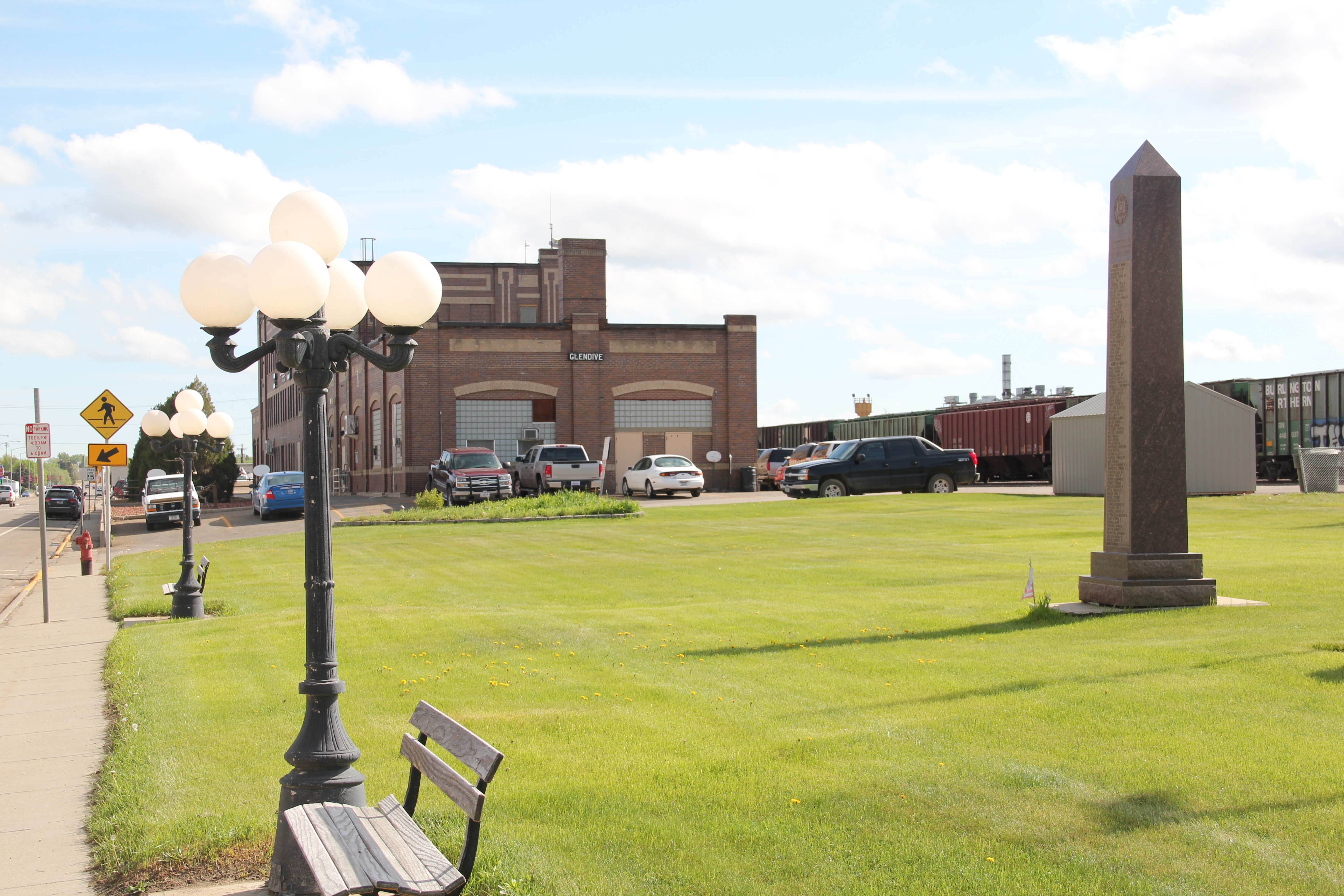
Northern Pacific corridor in Glendive

Northern Pacific corridor in Glendive


Facing the depot was the primary commercial street, Merrill Avenue, which later served as the town’s primary commercial artery for U.S. Highway 10 and is now designated as “Business I-94.” The many historic commercial buildings along Merrill Avenue facing the depot and railroad tracks captivated me–the dialogue between local entrepreneurs and the massive international capitalism represented by the Northern Pacific was plain to see.
Merrill Avenue Historic District, Glendive

Merrill Avenue Historic District, Glendive


Clearly this long-stretch of buildings recorded the town’s shifting economic fortunes from the 1880s to the depression era, and was worthy of designation in the National Register of Historic Places, work that has since taken place.
Closed for sometime now, the Lulhaven Bar is a classic example of Art Deco, with its black carrera glass and glass block entrance

Closed for sometime now, the Lulhaven Bar is a classic example of Art Deco, with its black carrera glass and glass block entrance


The Jordan Hotel combines both Art Deco elements and an overall International Style feel to reflect not only the depot across the street but to invite customers into its corner entrance

The Jordan Inn combines both Art Deco elements and an overall International Style feel to reflect not only the depot across the street but to invite customers into its corner entrance


The striking 1960s metal facade of the Rose Theater was layer over an earlier brick building

The striking 1960s metal facade of the Rose Theater was layer over an earlier brick building


IMG_7252
What particularly struck my eye was the different eras of prosperity represented by buildings such as those owned by Henry Dion, a leading early 20th century merchant. Dion built the 1905 brick building above during the boom brought out by the launching of the Lower Yellowstone Irrigation Project. Later, as the railroad expanded its presence with the new passenger station and the federal highway came down Merrill Avenue, an Art Deco layer appeared, making a old building suddenly trendy and “modern.”
In 1984, however, I did not much venture beyond the railroad corridor to understand how the shifts documented in those historic buildings also could be found across the town. Much like the residents I was captivated with the railroad’s imprint–as shown in this wonderful mural of local history, prepared by high school students, and installed in the lobby of the modernist Dawson County Courthouse in 1982.
IMG_4233
IMG_4232
I spoke with the community at the courtroom around the corner one March night in 1984 and we all agreed on what was important. But later trips to Glendive, and the town’s push into historic preservation, quickly convinced me that there was more to tell.
A turn into the Yellowstone Valley

Note: sorry about the delayed posts–real life, and work, interfered in October.

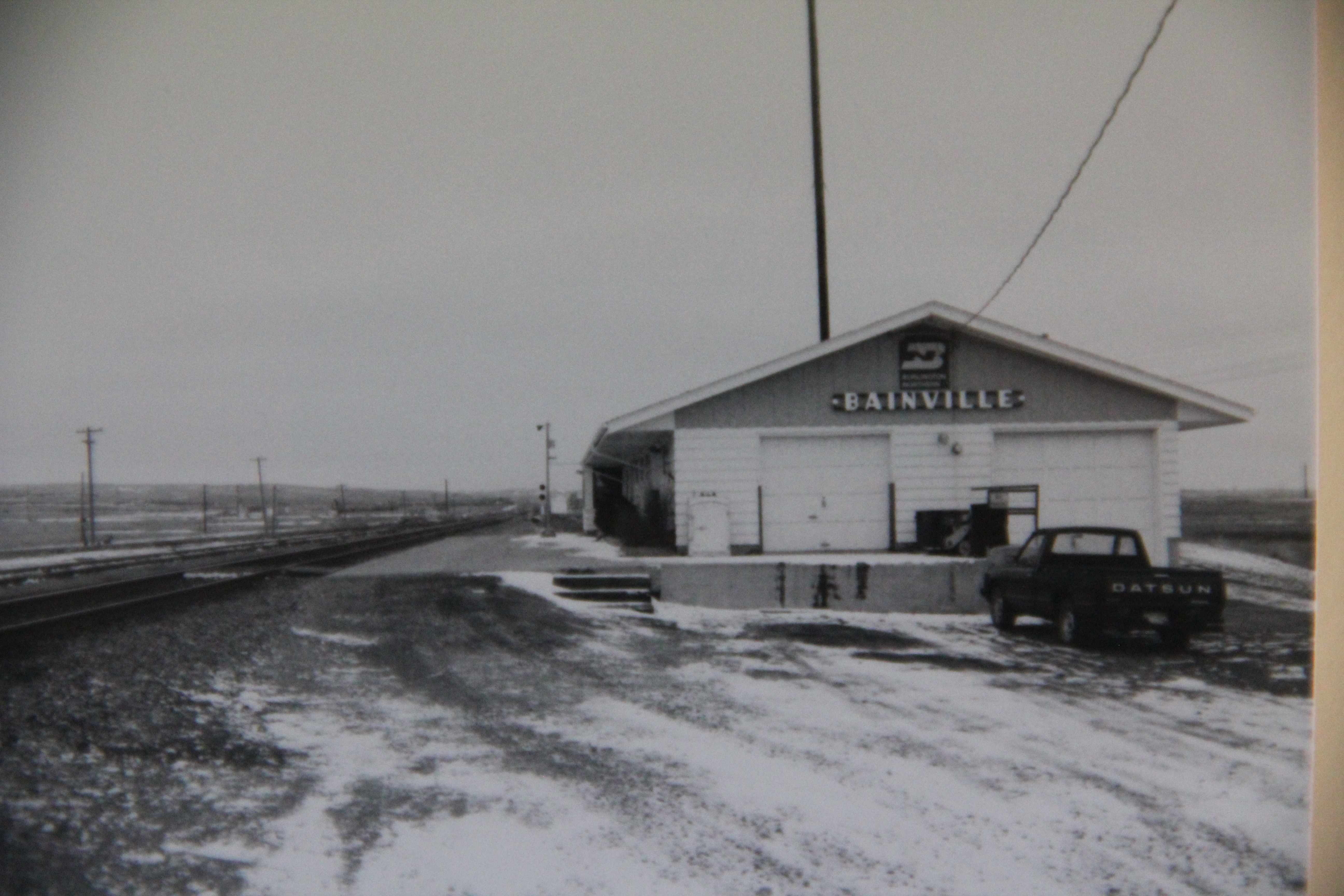
In the 1984 survey of Montana’s landscapes for the state historic preservation office, when I turned southward at the Bainville depot, a Great Northern Railway landmark now sadly missing from the landscape, I understood that a new phase of the project, and of the state, was opening up before my eyes as a cold February turned into March.
IMG_4077
I first encountered Fairview, at the tip of the Lower Yellowstone Valley and a product too of the Lower Yellowstone Irrigation Project, which I addressed in earlier posts this fall.

Historic Hotel Albert, a 3-story brick relic of the homesteading boom

Historic Hotel Albert, a 3-story brick relic of the homesteading boom


Fairview then and even more so now was a place of transition between the agriculture made possible through the engineering marvel of the federal irrigation project and the slowly creeping westward push of the oil boom associated with North Dakota’s Williston Basin.
Ft. Gilbert highway marker, north of Fairview: note oil well to the right

Ft. Gilbert highway marker, north of Fairview: note oil well to the right


As I drove south along MT Highway 16, I passed through the Lower Yellowstone Project towns of Crane, Savage, Sidney, and Intake–discussed in earlier posts–and then hit Interstate I-94: the first interstate I had seen in weeks. But instead of turning into Glendive, the major town in the region, I veered to the east to explore Wibaux County.
IMG_1683
I knew a bit about Wibaux through the standard narratives of Montana history because here stood the ranch house of Pierre Wibaux, one of the most famous early cattlemen in Montana. The house had long served as a heritage tourism stop, even as a state welcome center since Wibaux is positioned a few miles west of the Montana-North Dakota border on I-94. In 1984 I knew that I wanted to visit the ranch house, and see the monument erected to Wibaux to commemorate his life and achievements.
IMG_0494
I also found, however, the heavy imprint left in the wake of the Northern Pacific Railroad as it headed into Montana and aimed for the Yellowstone Valley. For the next several weeks I explored this connection between rail and river that so defines the valley still today.
Underpass separating MT 16 from the Northern Pacific mainline at Wibaux

Underpass separating MT 16 from the Northern Pacific mainline at Wibaux


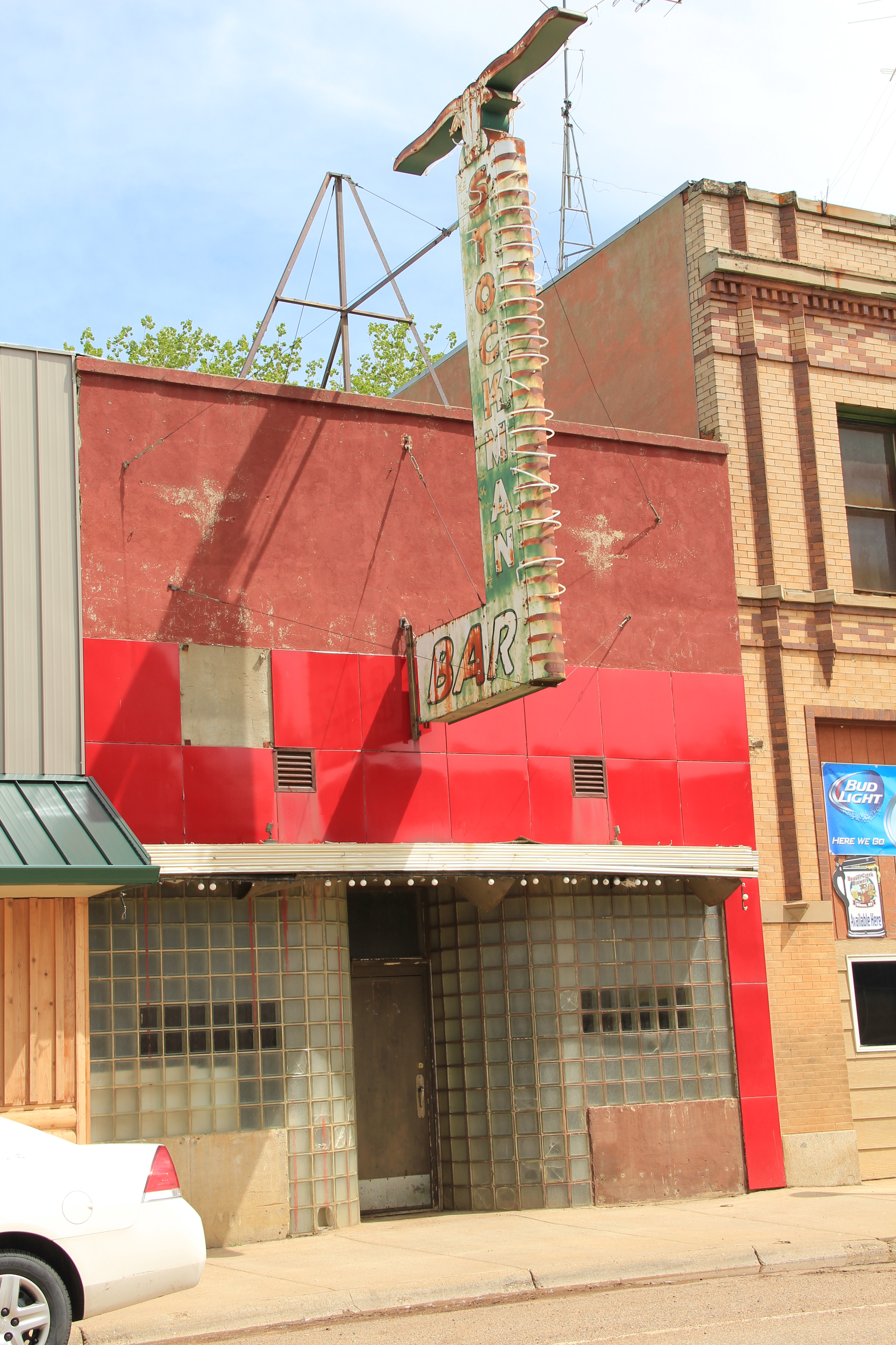
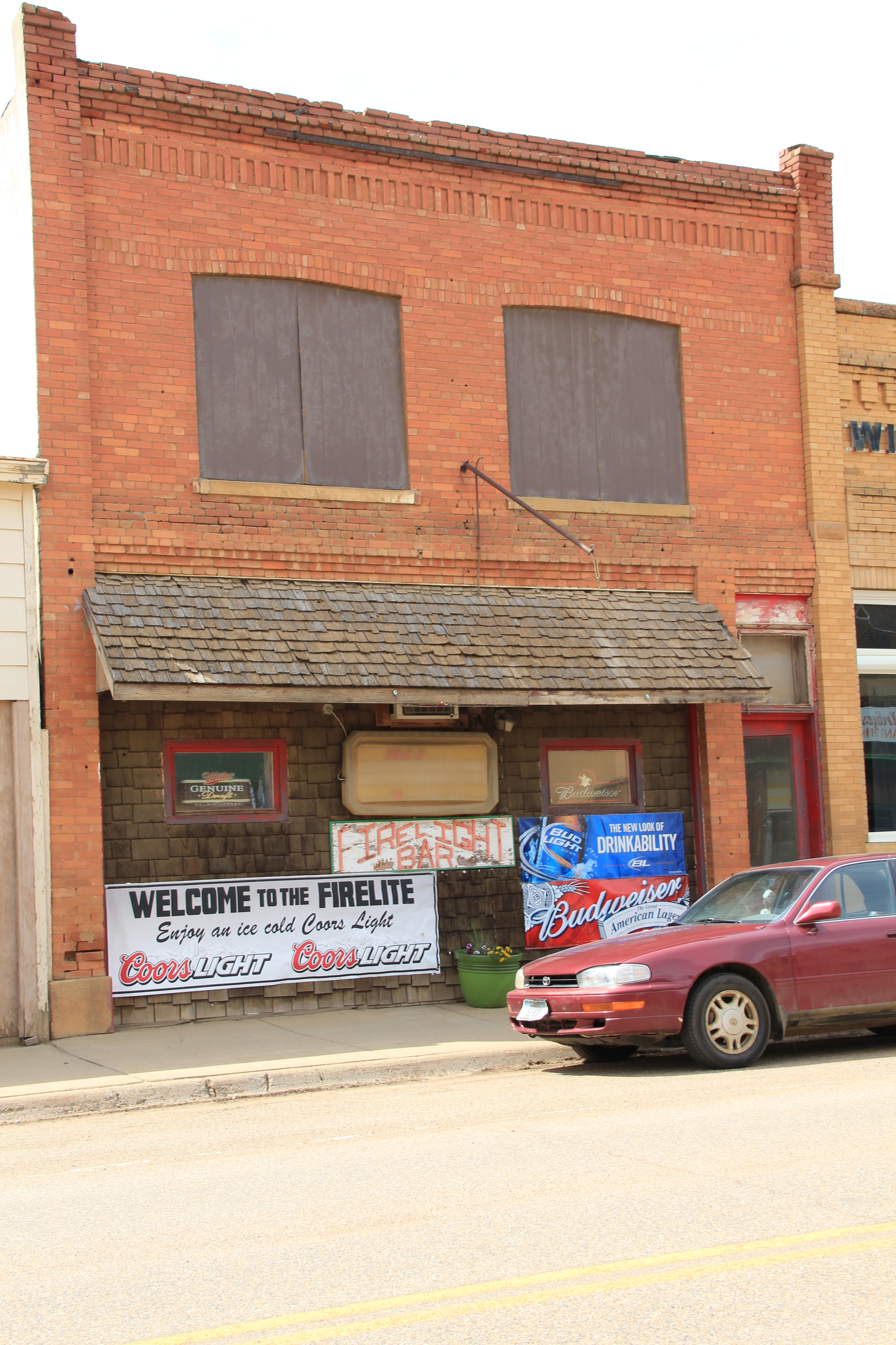
Wibaux is a town of bars–the Shamrock became my favorite in 1984, but the Rainbow Bar, housed in a building with more than a nod to Northern Pacific iconography, and the Stockman Bar were always worth a stop. Among newcomers in 2013, the Firelite was friendly but the big hit with locals and visitors was the Beaver Creek Brewery, a microbrewery way out on the plains of Montana.
IMG_0384IMG_0385
IMG_0387
IMG_0381
IMG_0383
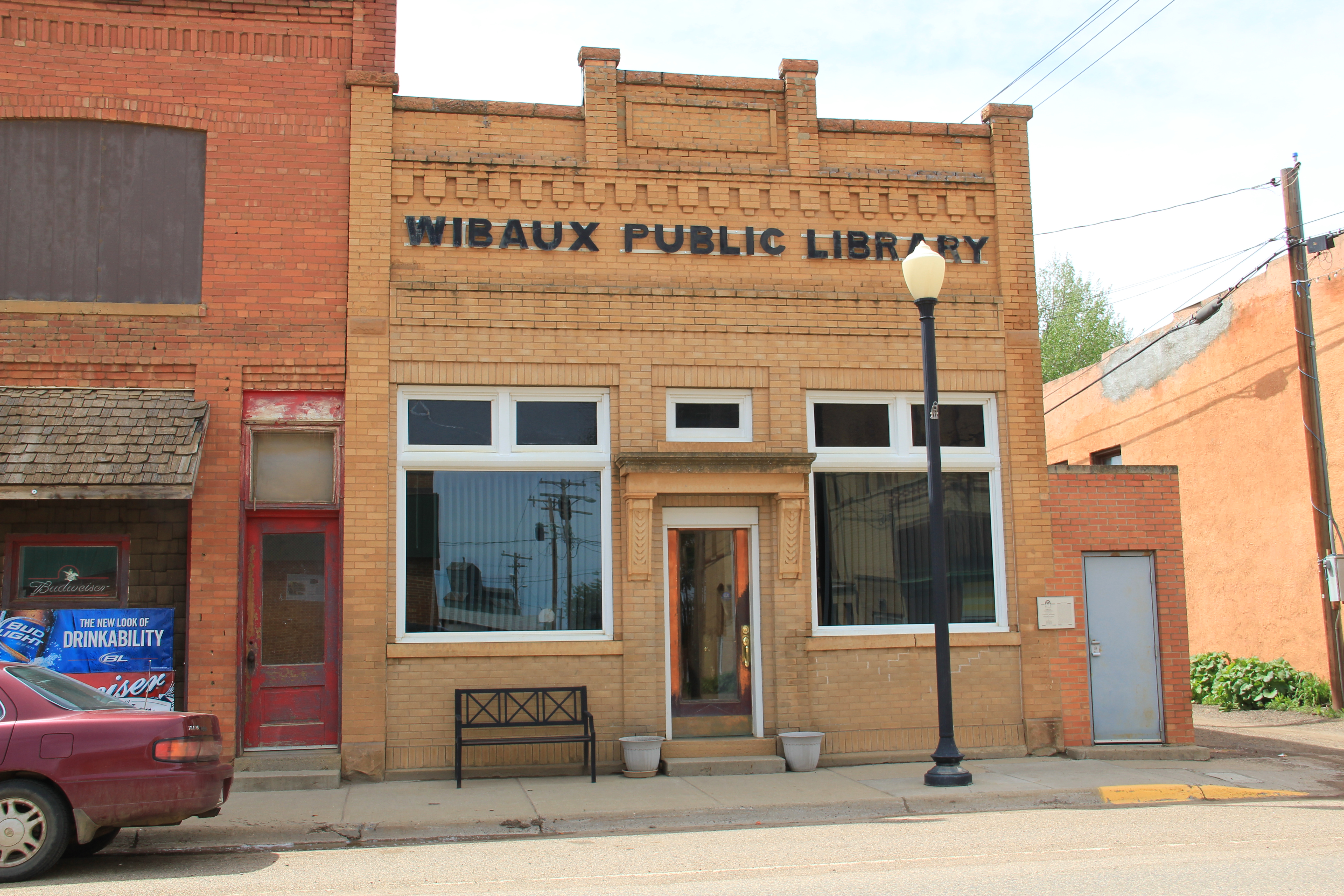
With old historic hotels, business blocks, and bank buildings–one transformed into the town library–still intact, here is a commercial historic district just waiting one day to be placed into the National Register of Historic Places.
IMG_0382
Besides the bars, however, I enjoy Wibaux for its sense of a western ranch town, even in the face of the expanding reach of the Williston oil boom. There is the 1950s contemporary-styled Wibaux County Courthouse; the county fairgrounds south of town; and a bit farther south on MT 16 the historic Nunberg Ranch, which is listed in the National Register.
IMG_0483
IMG_0480
IMG_0479
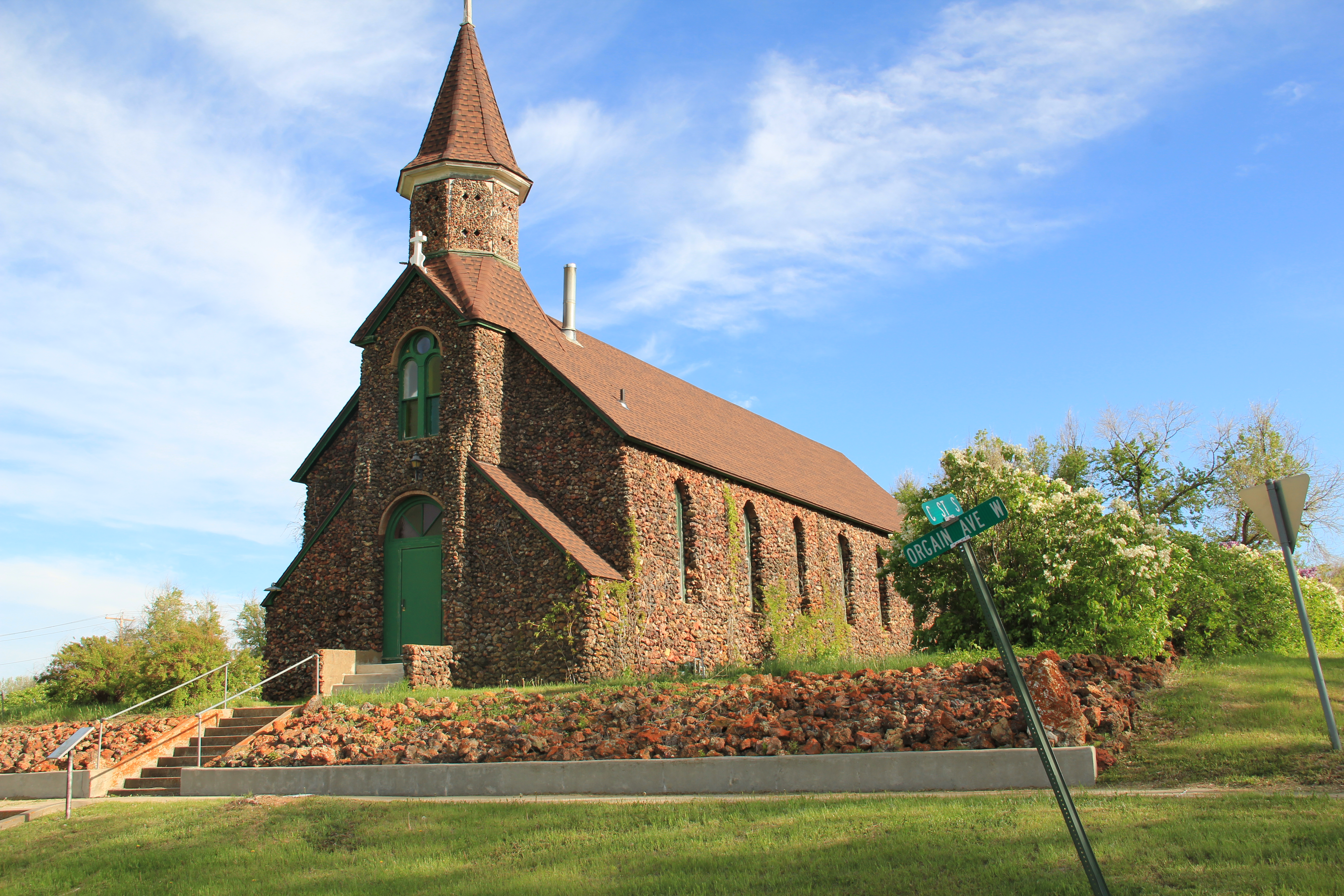
Also listed in the National Register is the striking St. Peter’s Catholic Church, certainly a Gothic Revival landmark when the congregation built it on a high point west of the business district but then made into a western landmark with the addition of river stone in 1938. Here was a statement in the depression era: we are here and we are proud.
IMG_0493
But if you turn to the north, however, on the other side of the tracks is the life of the community, the school. And this image of the high school football field is perhaps the best way to close a post about Wibaux. Yep, it is small, determined, and still here, even when many think it should have blown away decades ago.
IMG_0496