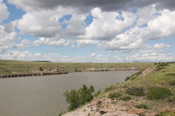
 The Missouri River runs through Cascade County and is at the heart of any future Great Falls Heritage Area. This section of the river, and the portage around its falls that fueled its later nationally significant industrial development, is of course central to the story of the Lewis and Clark Expedition of 1803-1806. The Lewis and Clark story was recognized when I surveyed Cascade County 30 years ago–the Giant Springs State Park was the primary public interpretation available then. But today the Lewis and Clark story has taken a larger part of the public history narrative in Cascade County. In 2003 the nation, state, and city kicked off the bicentennial of the expedition and that key anniversary date spurred the

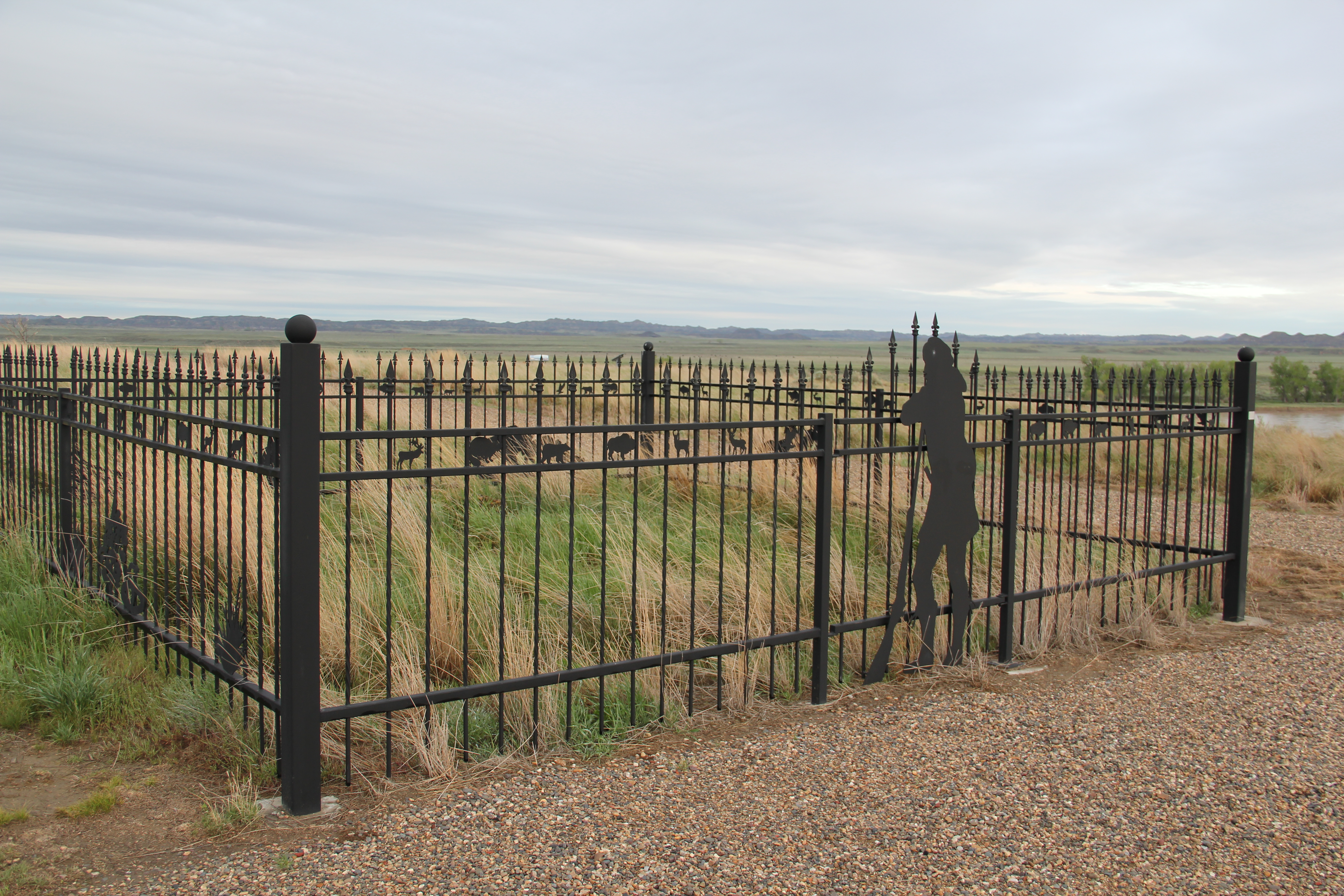
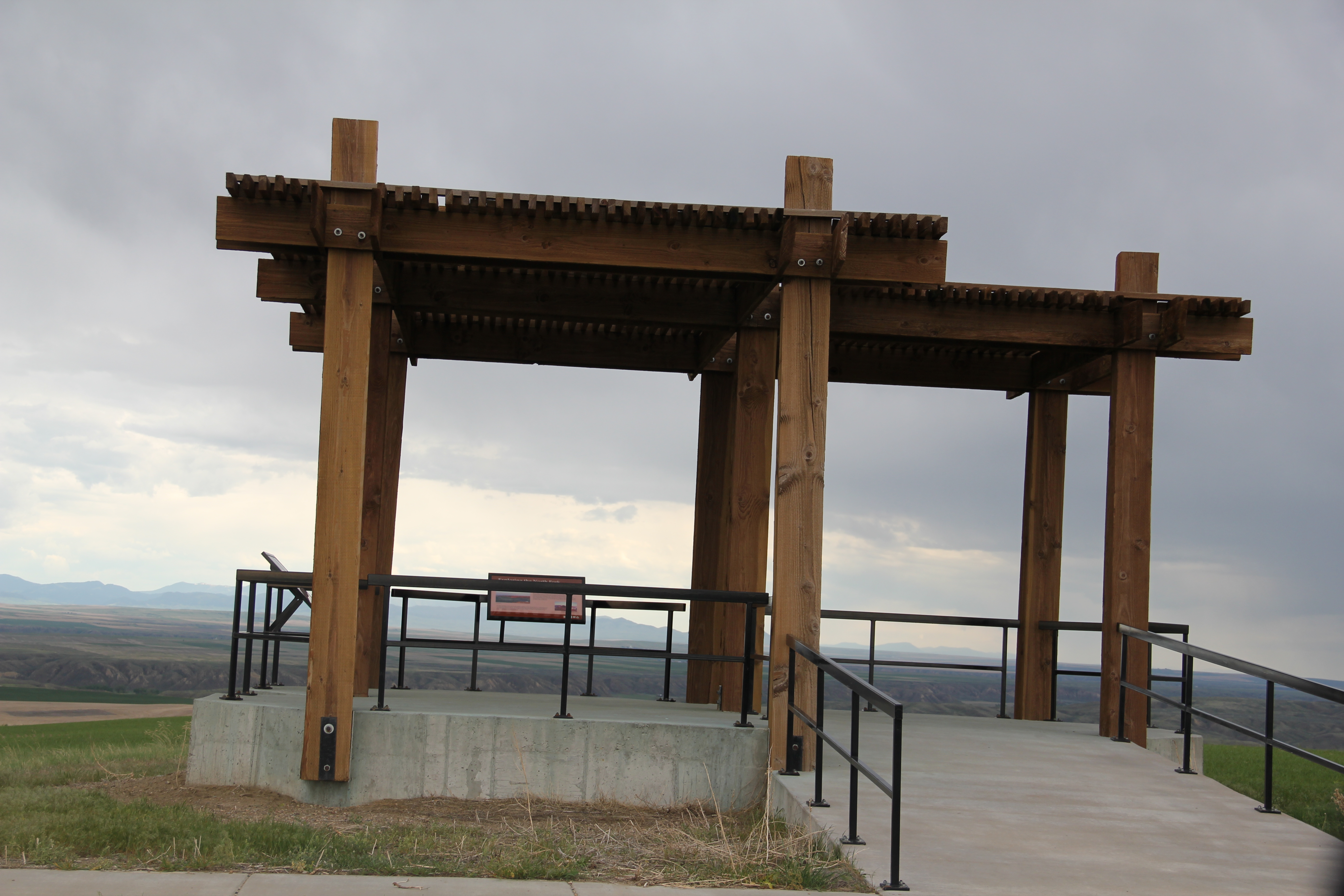
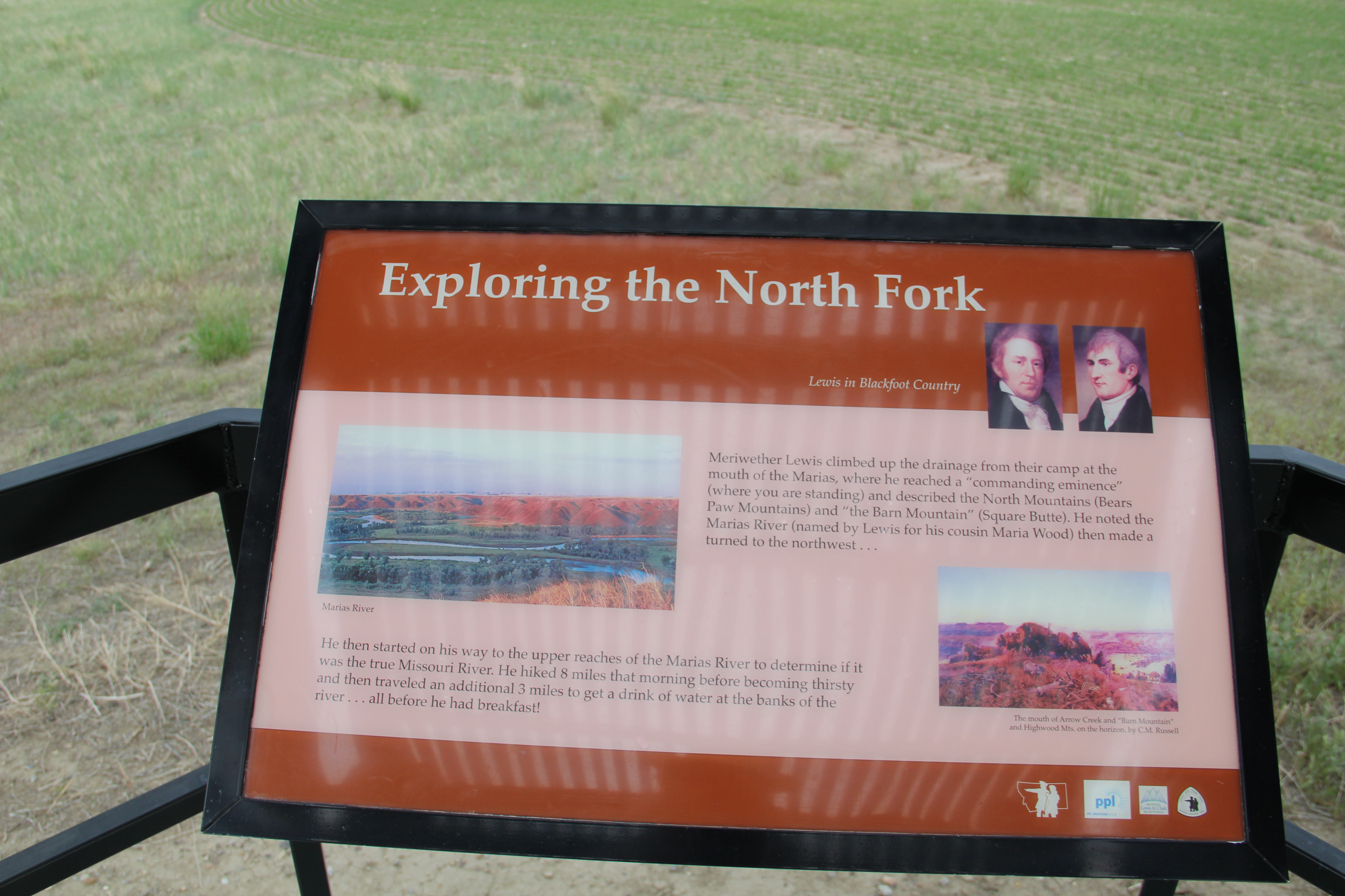
many new efforts to preserve and interpret the “whole story” of the expedition. The designation of the Lewis and Clark National Historic Trail led to many upgrades in markers and interpretive signage across the state. Then Great Falls became a center for trail interpretation through the opening of the Lewis and Clark Interpretive Center along the river banks not far from Giant Springs State Park.
 Despite federal budget challenges, the new interpretive center was exactly what the state needed to move forward the story of the Lewis and Clark expedition, and its many levels of impact of the peoples and landscape of the region. The center emphasized the harrowing, challenging story of the portage around the natural falls of what became Great Falls but its
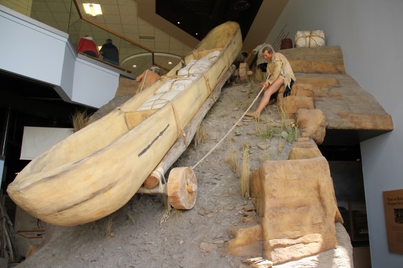 exhibits and programs have significantly broadened our historical understanding of the expedition, especially its relationship with and impact on various Native American tribes from Missouri to Washington.
 The contribution of the interpretive center to a greater local and in-state appreciation of the portage route cannot be underplayed. In the preservation survey of 1984, no one emphasized it nor pushed it as an important resource. When threats of development came about in last decade, though, determined voices from preservationists and residents helped to keep the portage route, a National Historic Landmark itself, from insensitive impacts.


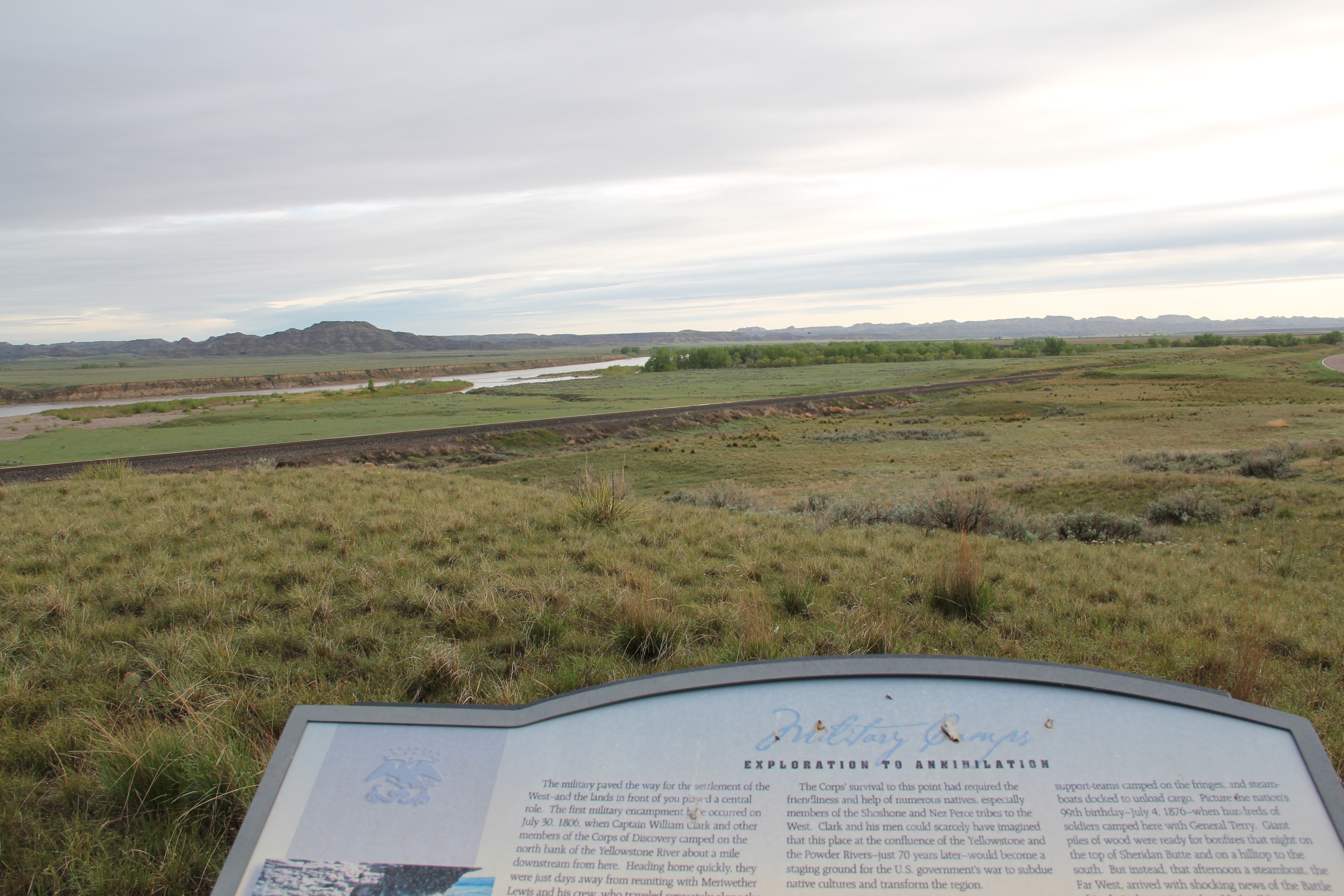
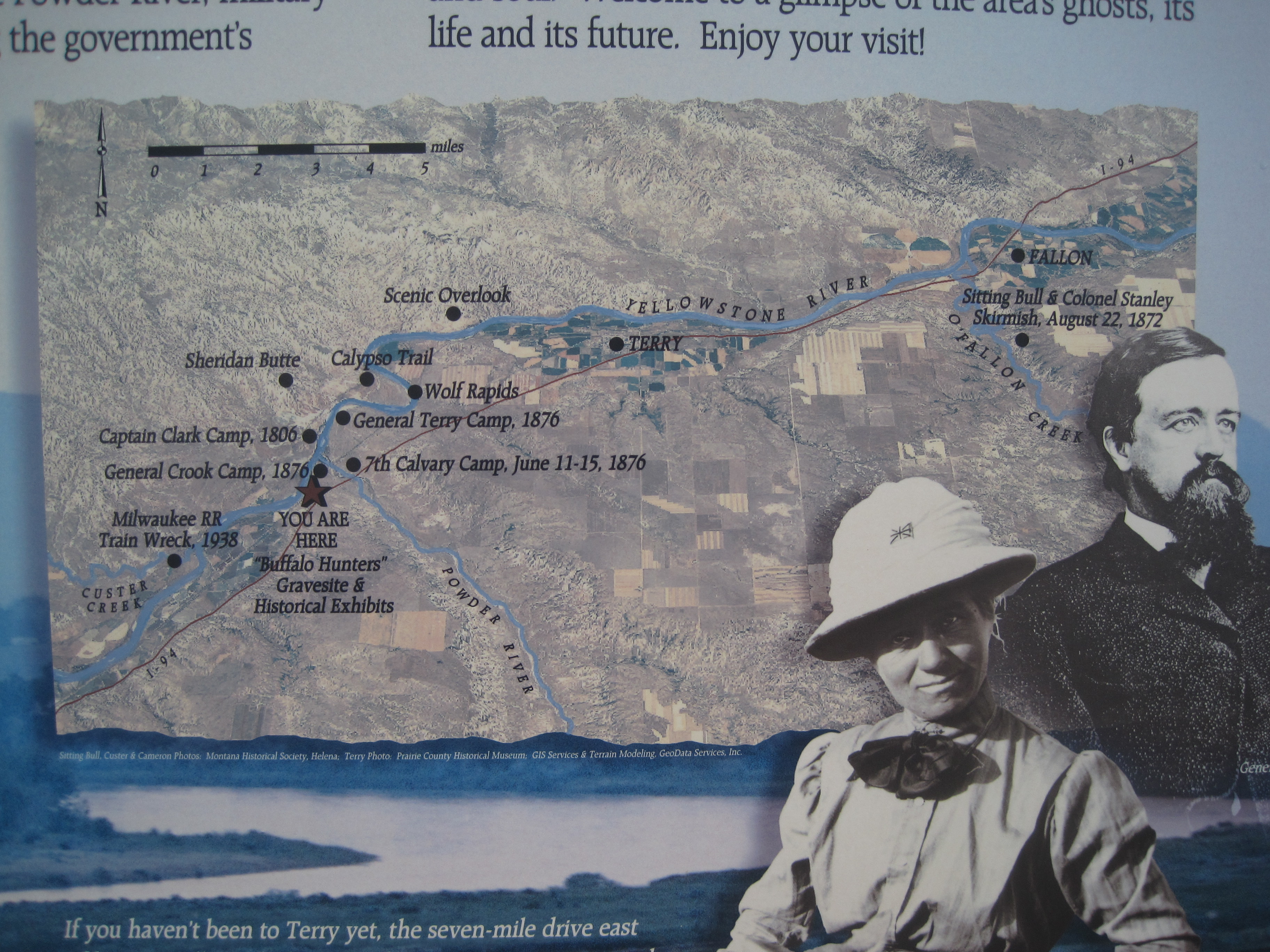
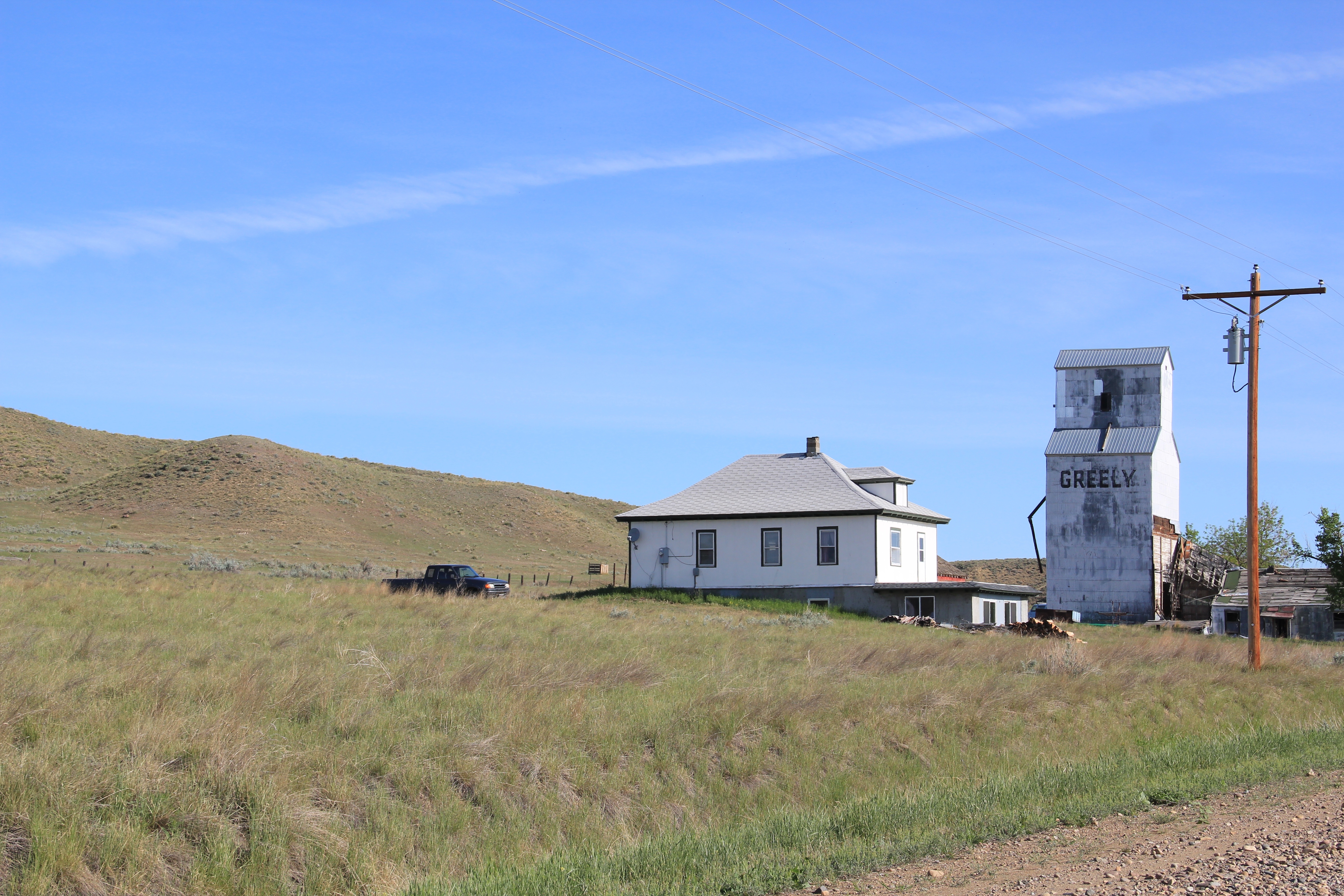
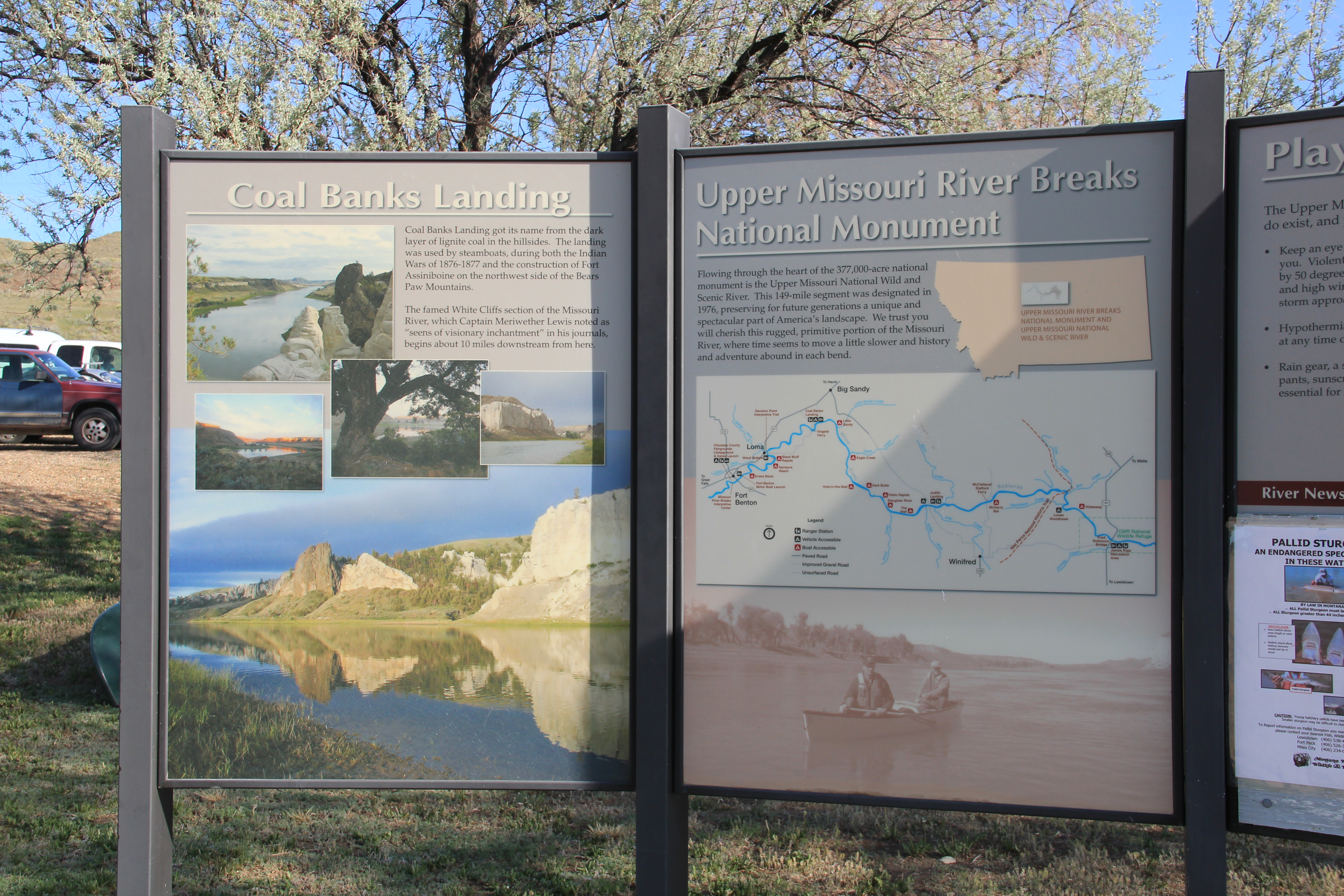
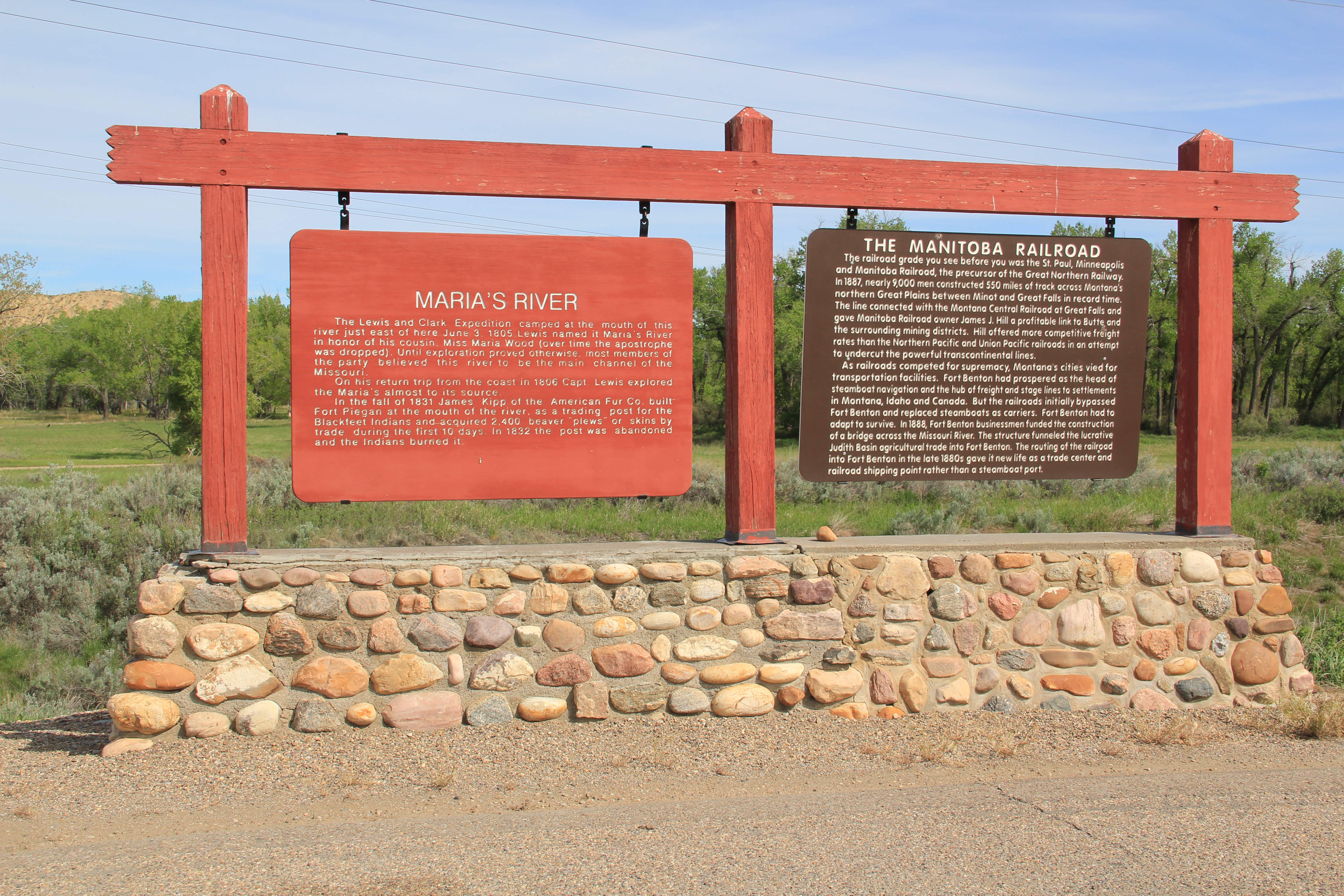
At the south end of the county, the state worked with the national historic trail to established Tower Rock State Park, which preserves and interprets an important natural landmark along the river and trail, which, in 1984, was not part of the public interpretation of the expedition. It also created a valuable heritage asset easily accessible from Interstate I-15, meaning thousands of visitors have learned about the trail as they have rushed through the state. These developments in the last 30 years to both preserve and enhance the understanding of the expedition are just the more obvious of the efforts to improve the trail as a real heritage asset for the city, county, and state. We can only hope that a similar effort will emerge soon to re-energize the preservation and understanding of the next major military excursion through the region–the Mullan Road of the
 late 1850s. Hundreds pass by the monument near the civic center in the heart of Great Falls but this story is another national one that needs more attention, and soon than later.