
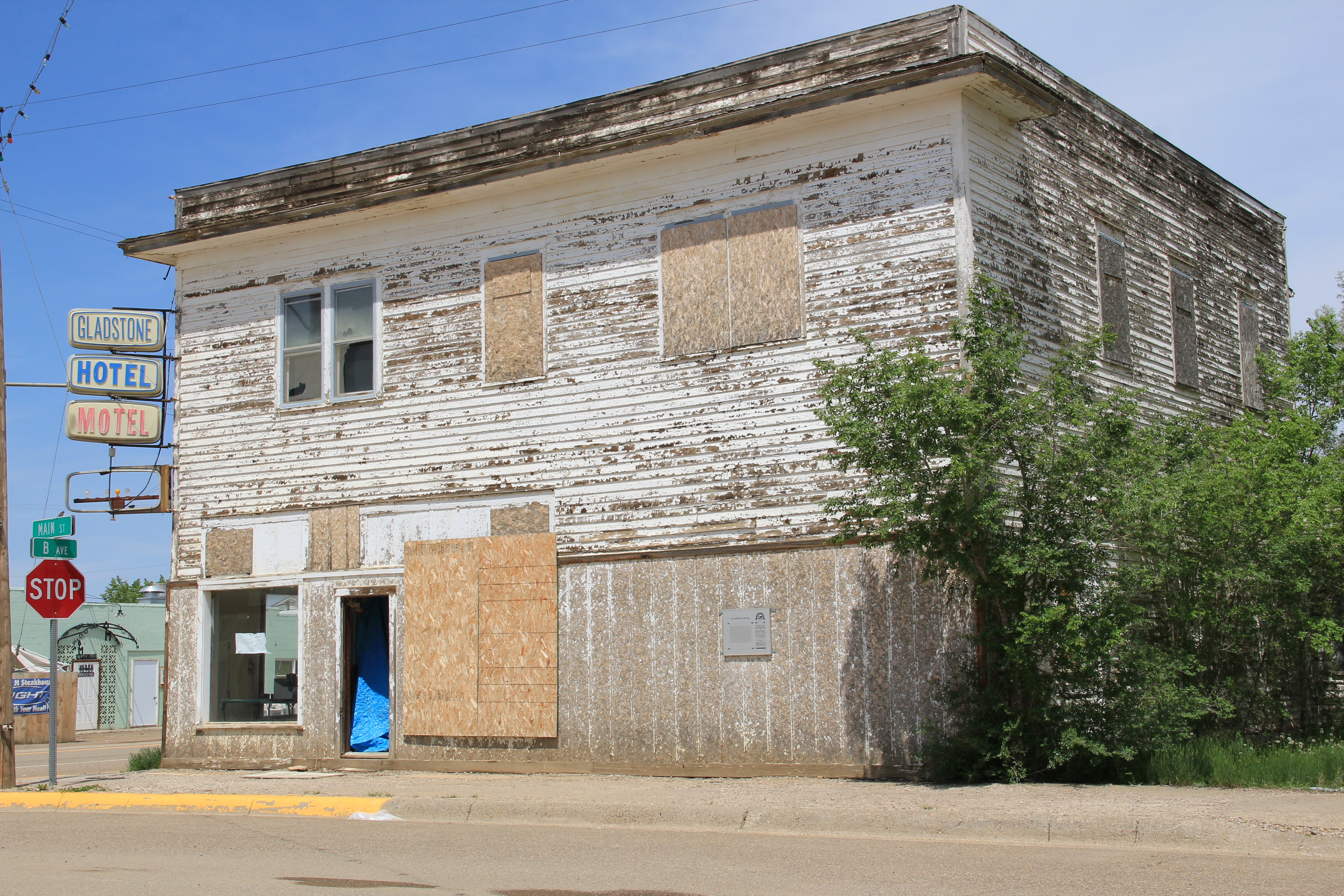
Circle, the county seat of McCone County and an important crossroads in eastern Montana, is another of the towns along the “Montinental Divide.” It is also one of my favorite places in the region. I first encountered the dusty streets of Circle 29 years ago, when I spent a night at the Gladstone Hotel. This two-story frame building, built in the 1910s to serve businessmen and new residents who were flocking to the region by hundreds, even thousands during the decade’s homesteading boom, was a rarity in 1984. Many Eastern

Montana towns had long ago lost their homesteading boom-era hotels or boarding houses. Circle still had theirs, and one that literally creaked of history as you walked its hallways. Clearly the Gladstone, listed in the National Register of Historic Places, is now closed–and awaiting a new future. Perhaps the expanding oil boom will convince someone to revitalize the property, which occupies one of the town’s four central corners, and give it new life.
Another reason I liked Circle was its museum, and especially its director back in 1984 the rather legendary Orville Quick. Orville had a passion for his community and its history that I

had never encountered before, and have rarely encountered since. The museum combined

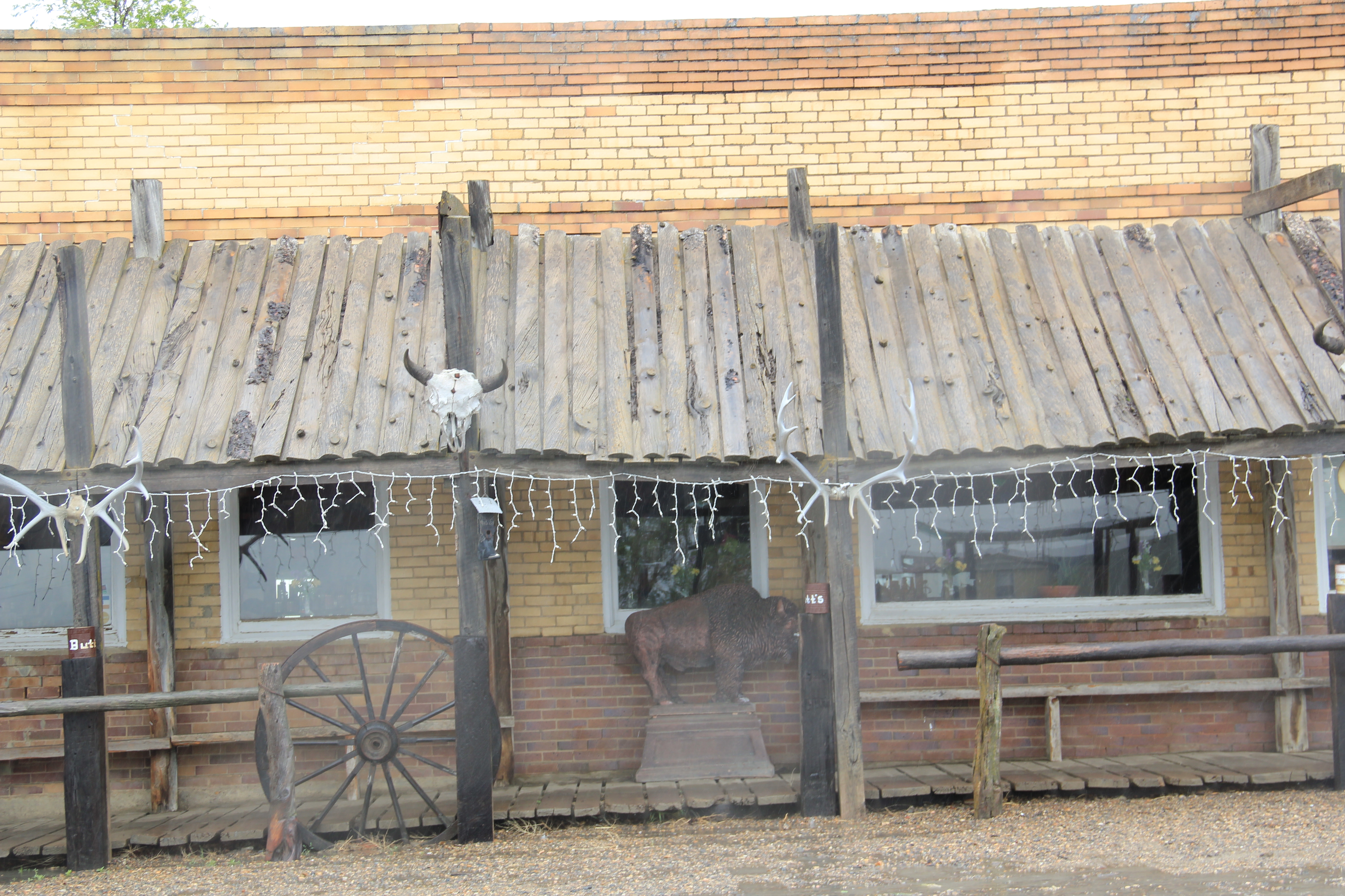
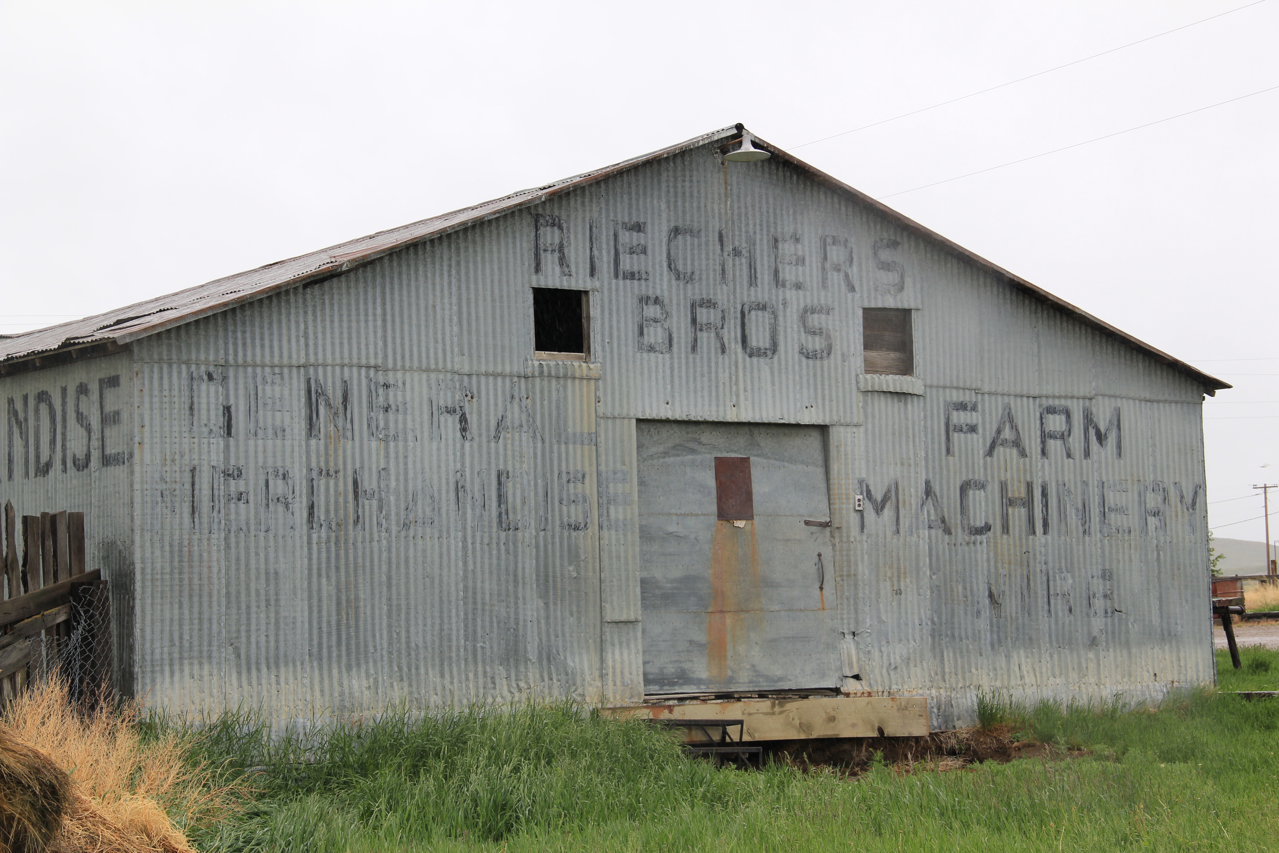
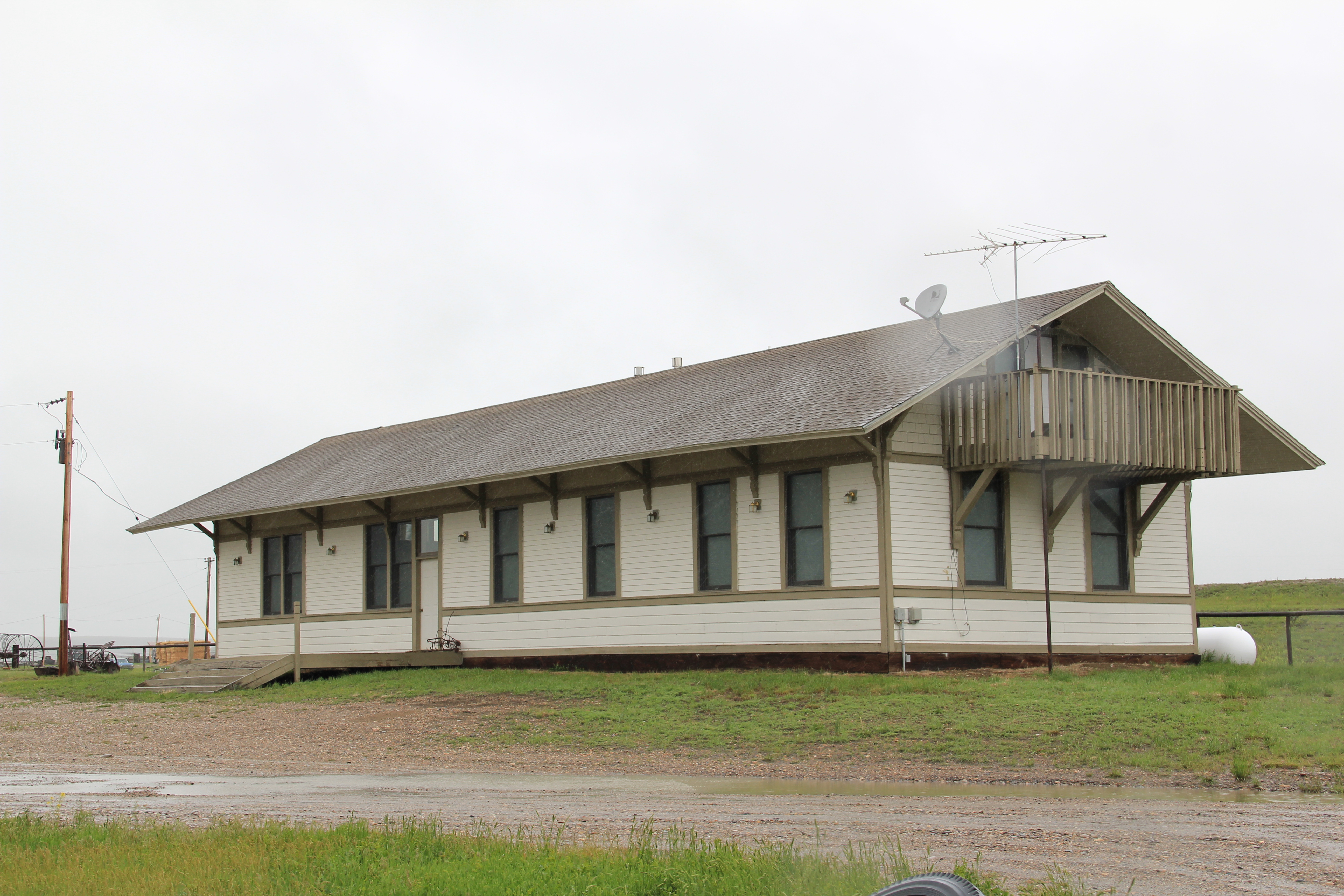
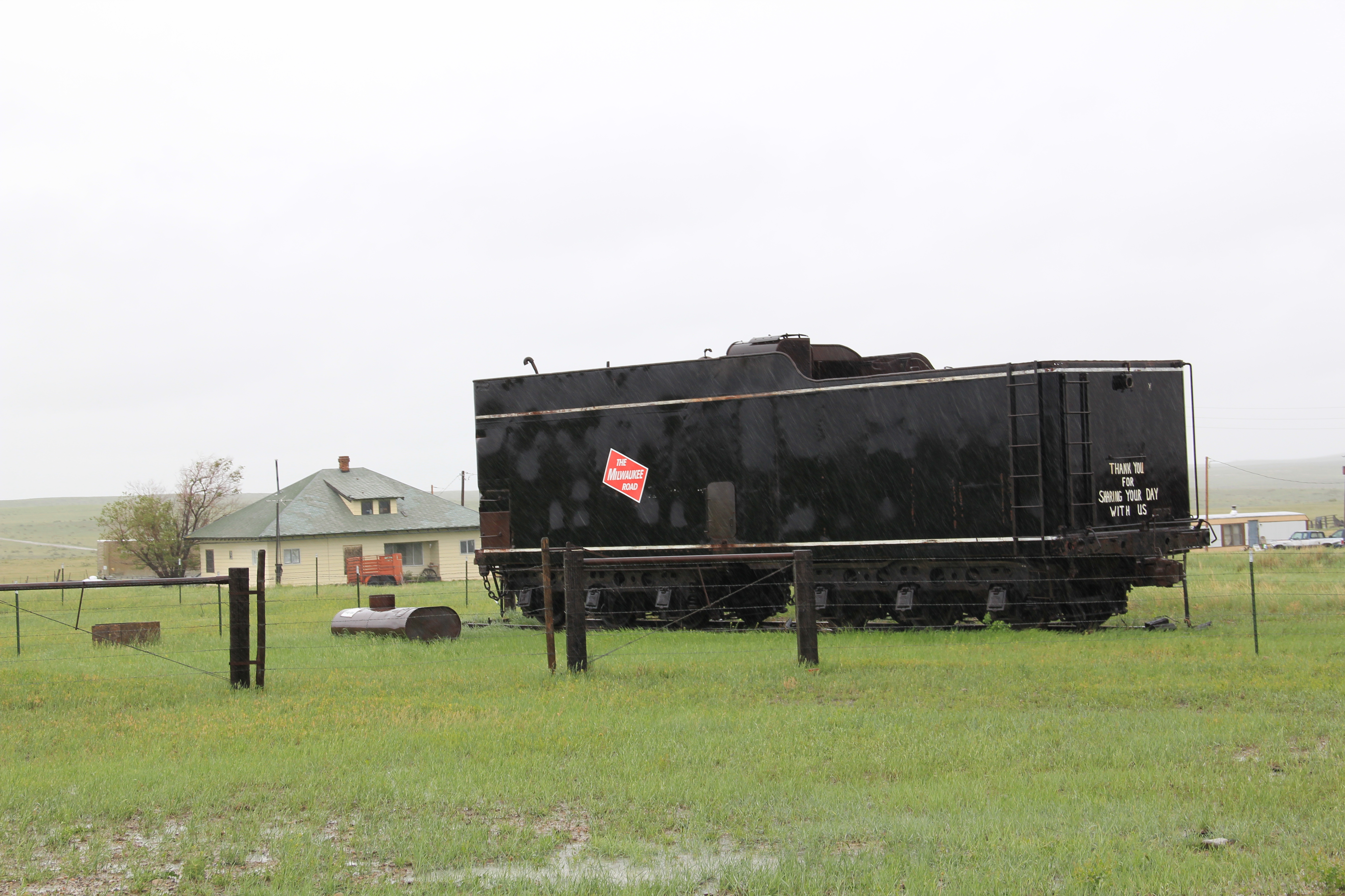
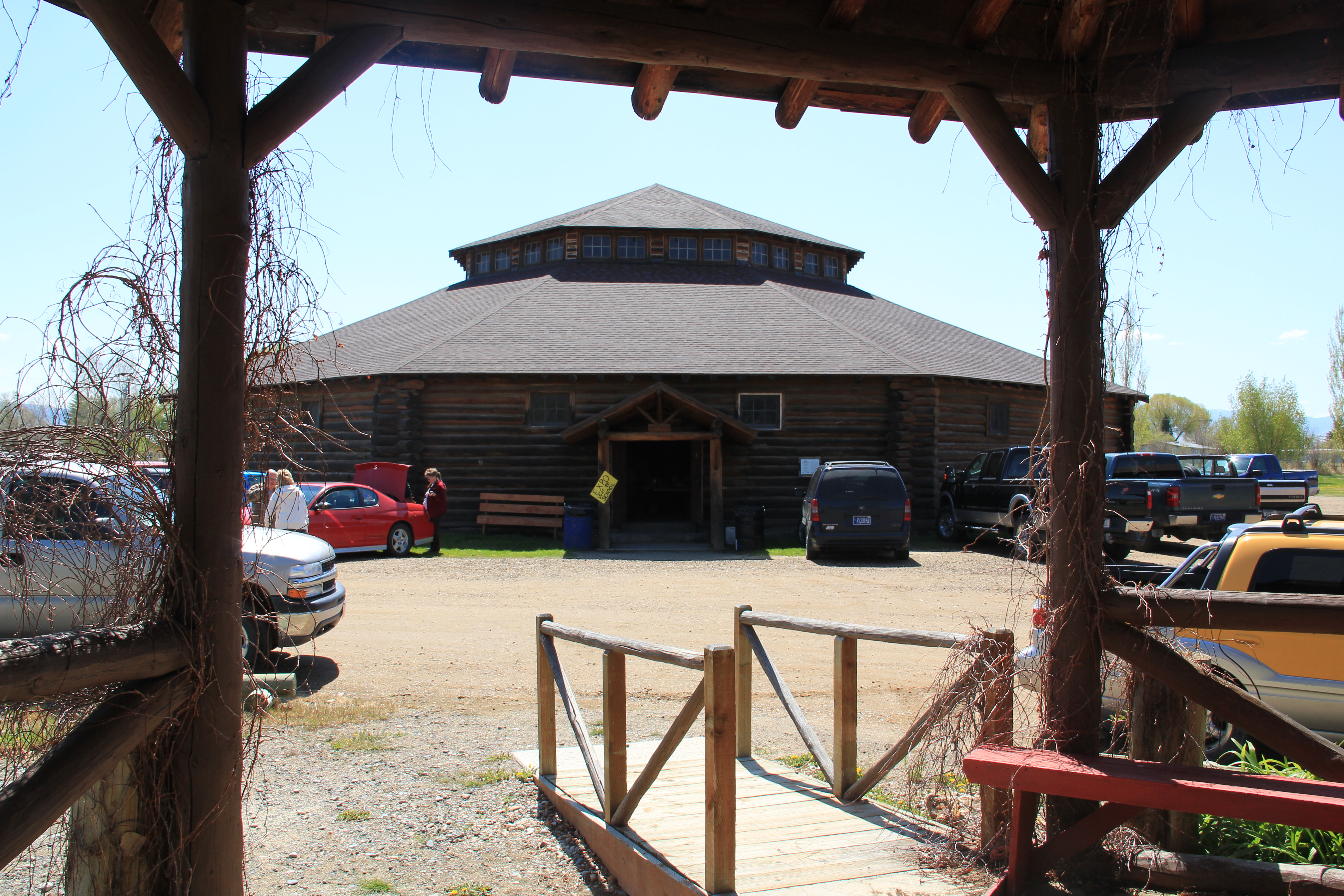
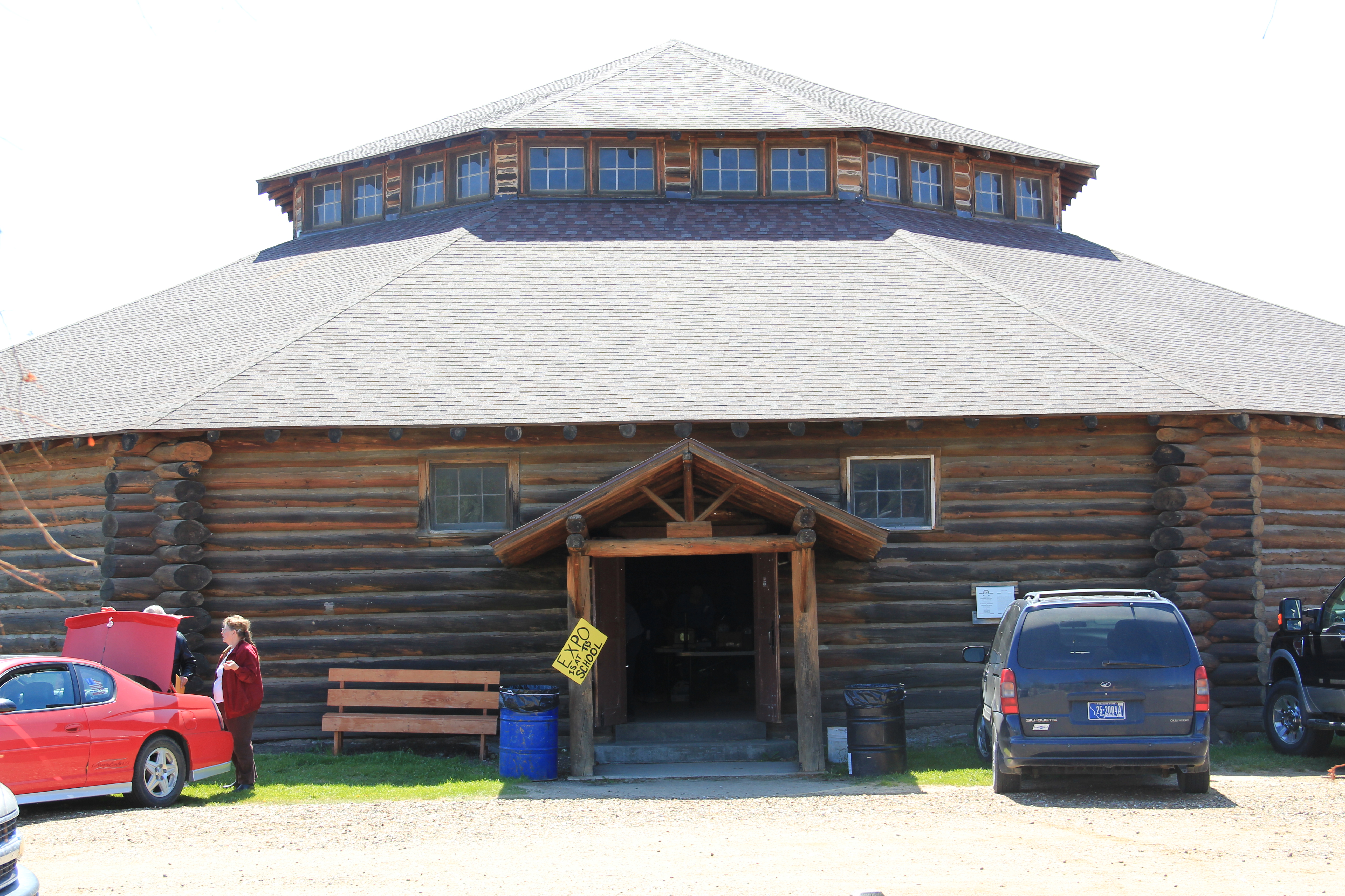
a rather eclectic collection of local items, memorializing the homesteading era, with the region’s preference for building museums, starting with the town’s former Northern Pacific Railroad passenger station.
The museum has expanded significantly since my last visit in 1988. Recognizing that Circle is an important crossroads for heritage tourists traveling the region’s backroads, it has multiple interpretive kiosks identifying important places and key themes.

And to one side of the museum and behind the kiosks is a set of sculptures interpreting the deep, deep past when dinosaurs roamed this land.

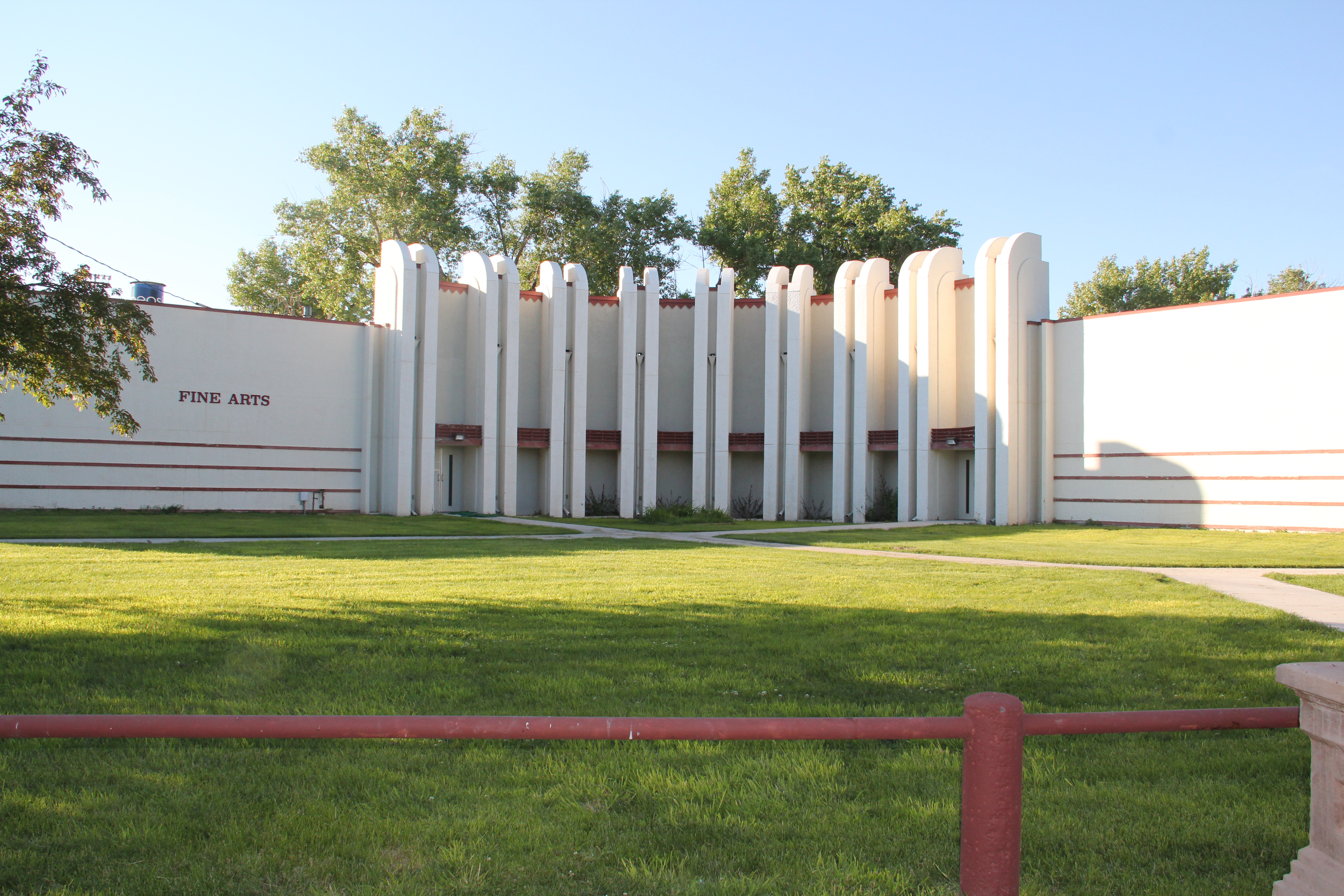
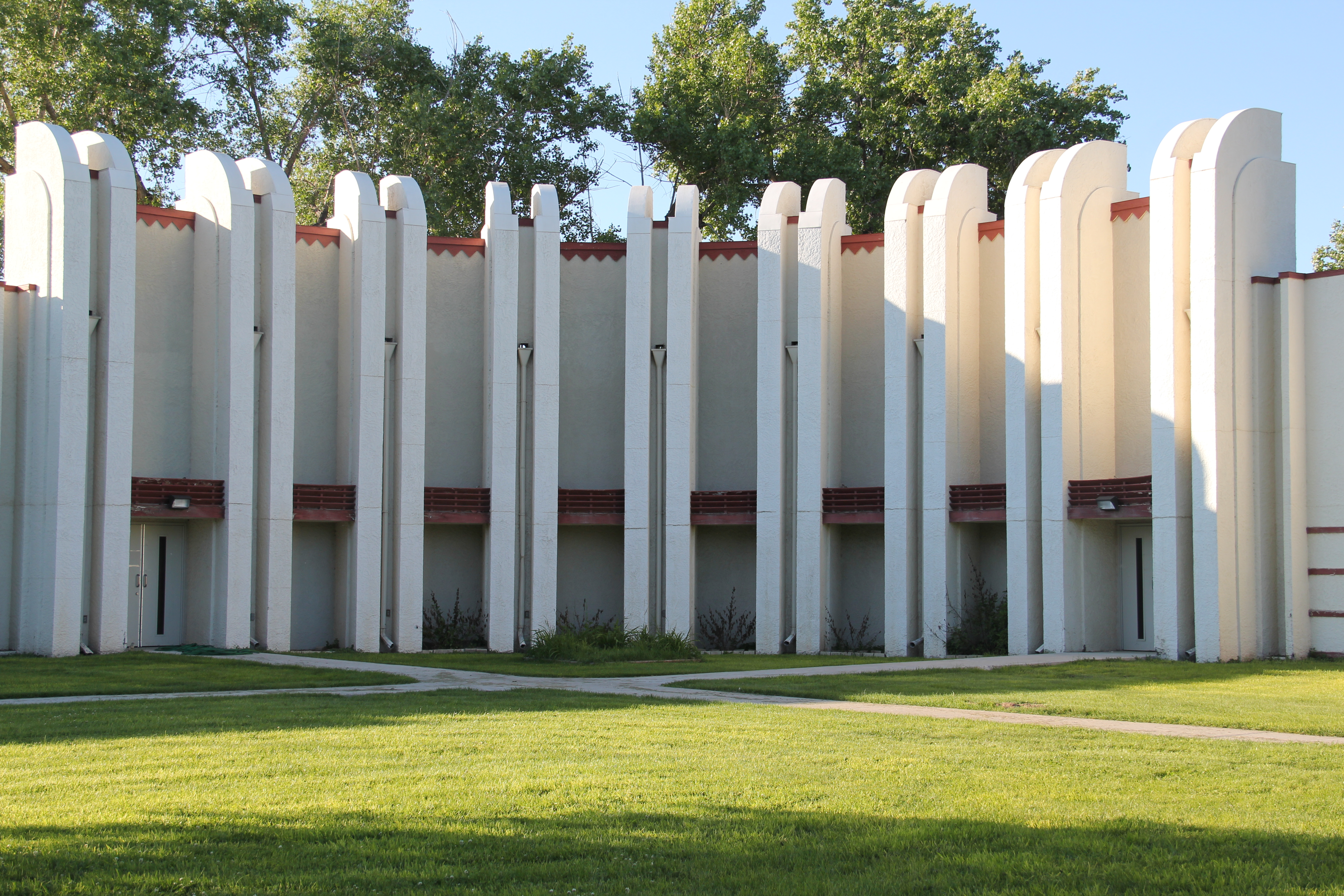
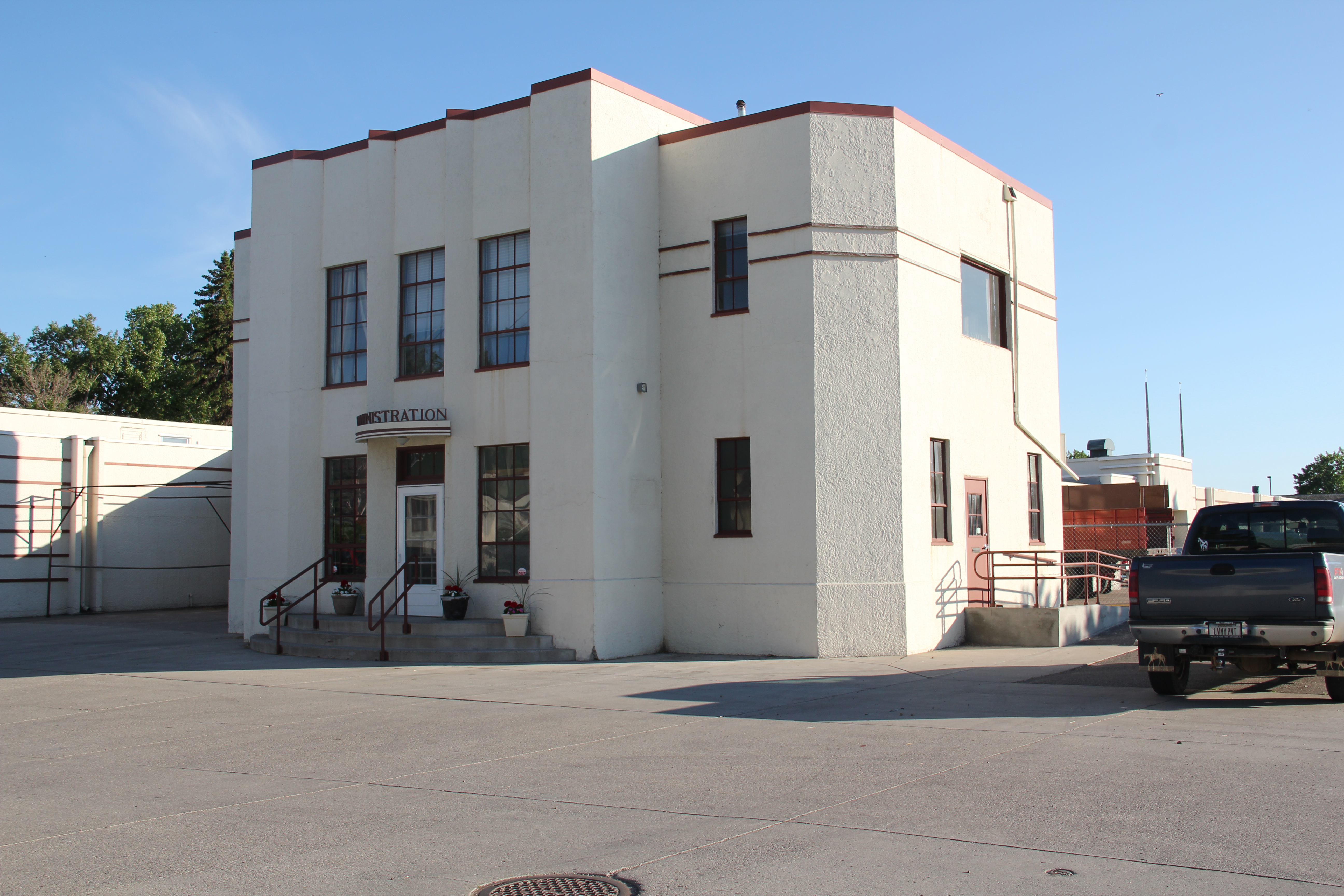
Of course there is much more to Circle than an aging hotel and a fascinating local museum. The McCone County Courthouse (1949), designed by the architectural firm J. G. Link of Billings, is a late New Deal Moderne styled building, seemingly more at home, architecturally, in the 1930s than with the Cold War era.

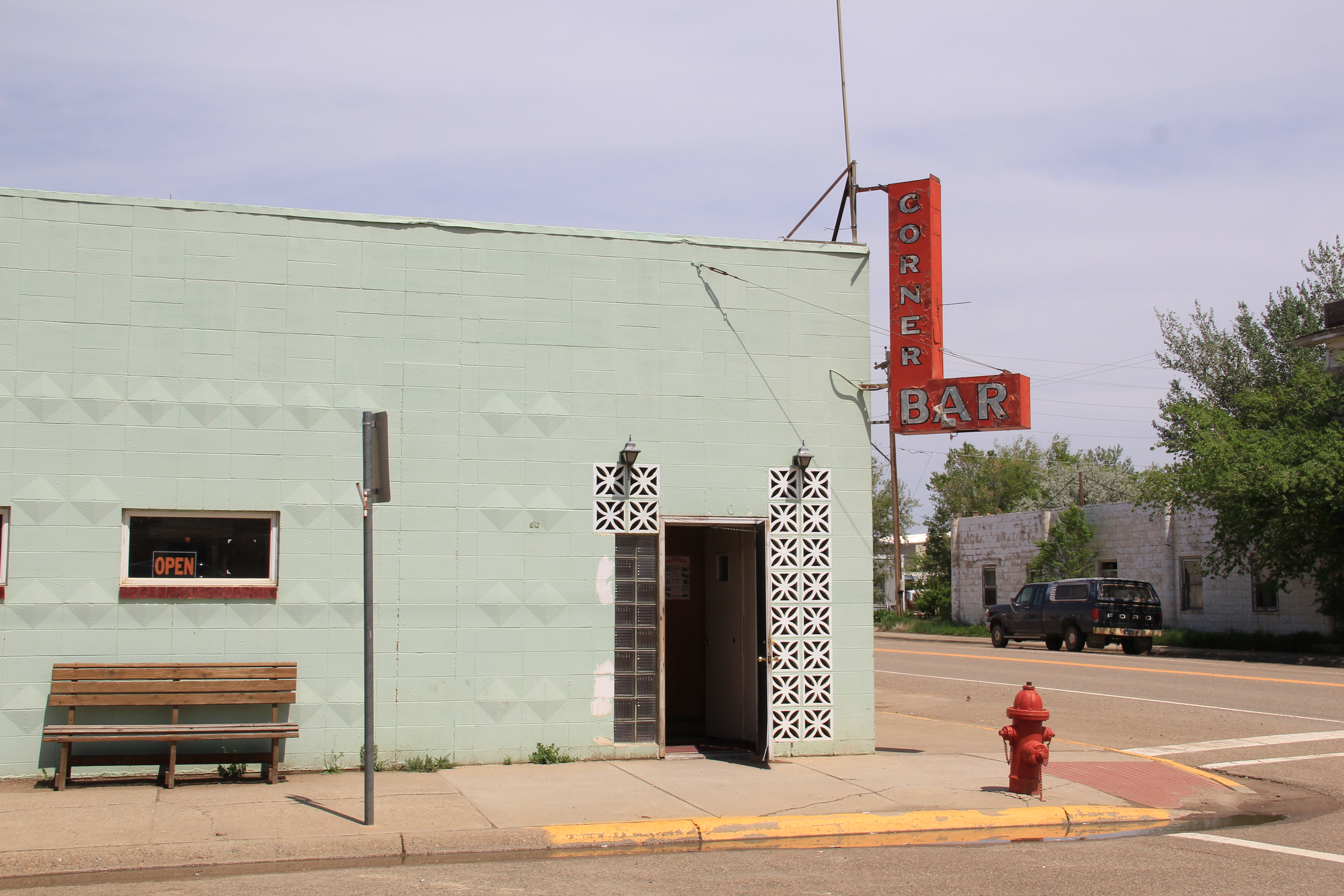
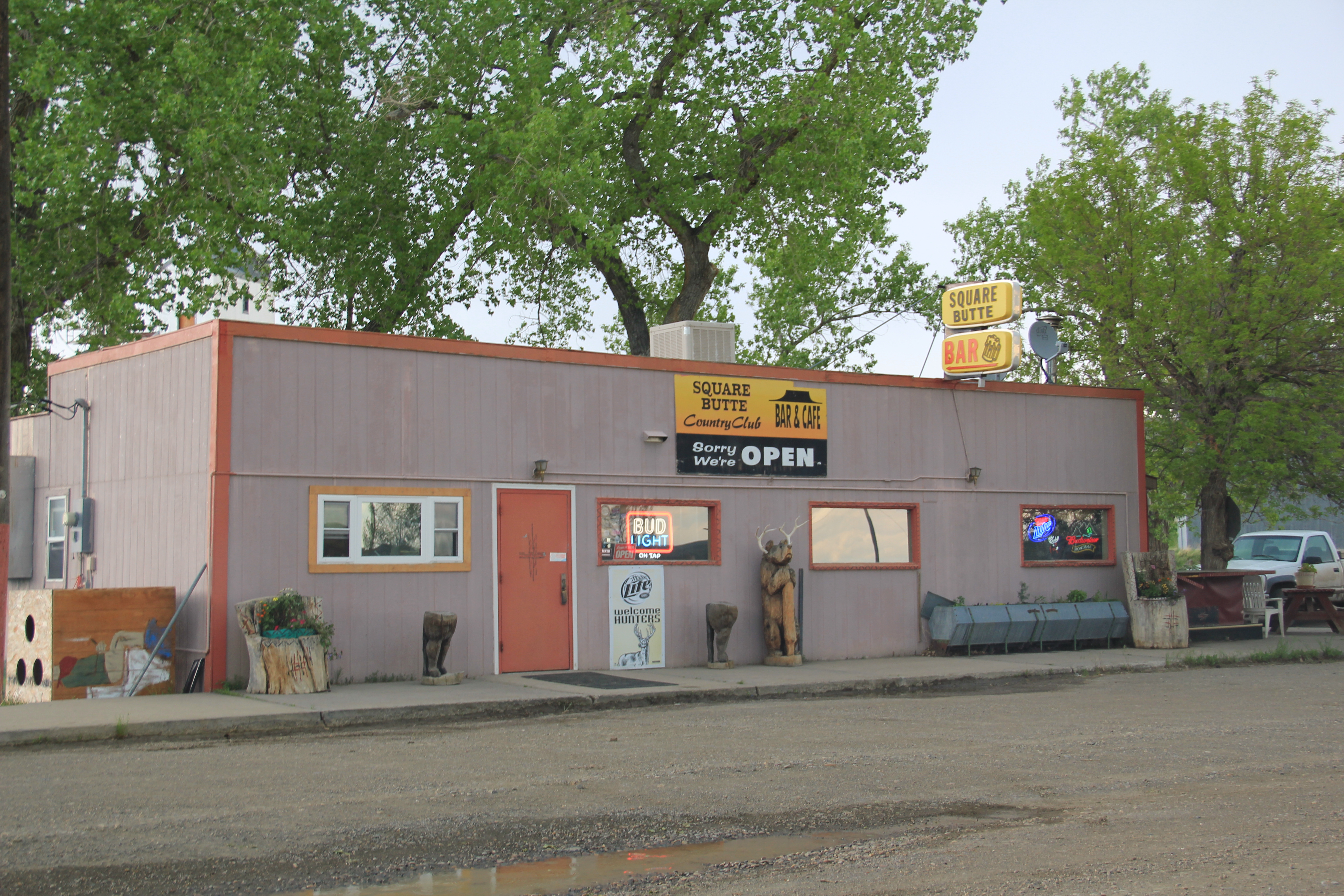
Across the street is the town’s Carnegie Library, still a vital community institution. Good watering holes abound–across from the Gladstone Hotel is my favorite from 1984, the Corner Bar.
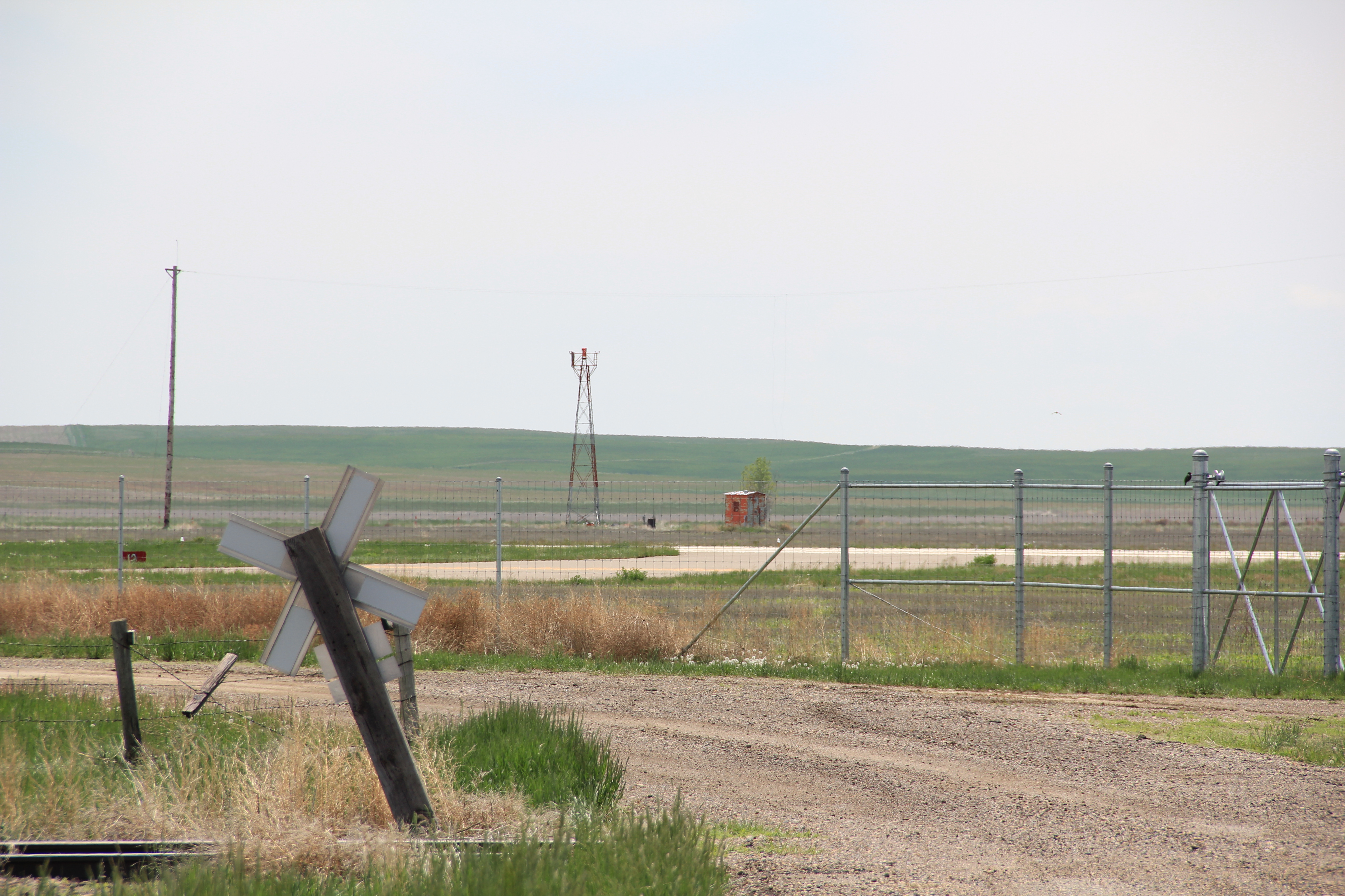
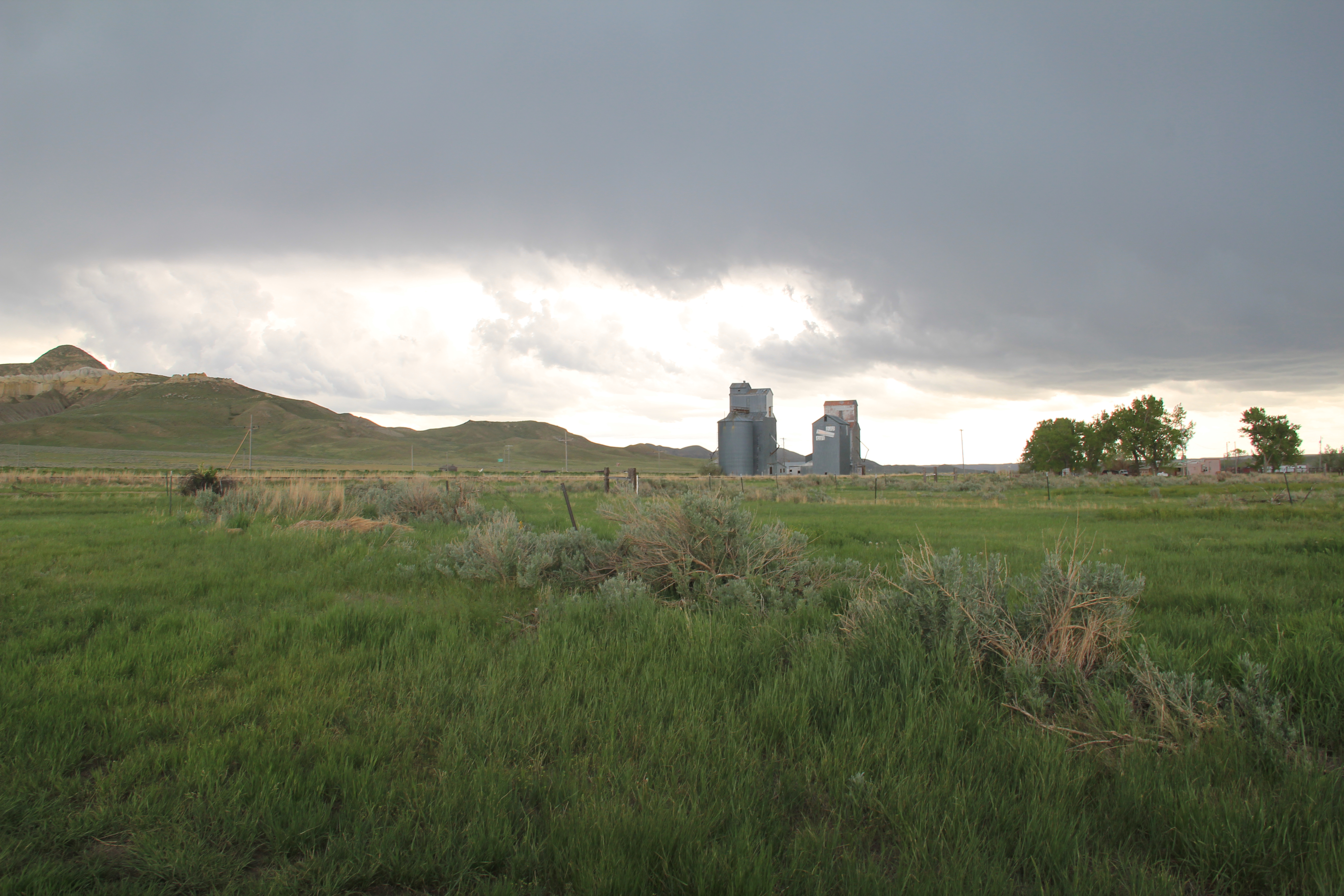
The McCone County Fairgrounds hosts one of the region’s best rodeos every summer and then out at the airport is yet another rare historic property–the military’s 1940s radar and radio substations that once could be found at small airports throughout the state, helping to guide planes to the more important base at Cut Bank. Kate Hampton of the Montana State Historic Preservation Office asked me in 2012 to keep my eyes out for these resources and, while it is more difficult just to drive into airport property today than in the past, the Circle location seems to be another of these properties that help to tell the state’s World War II story.

Mr. Hagermann’s “montinental divide” is a fascinating concept, and if it leads you to Circle–have fun. Great town: here you see only some of the highlights.


