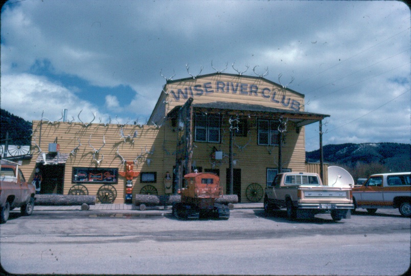
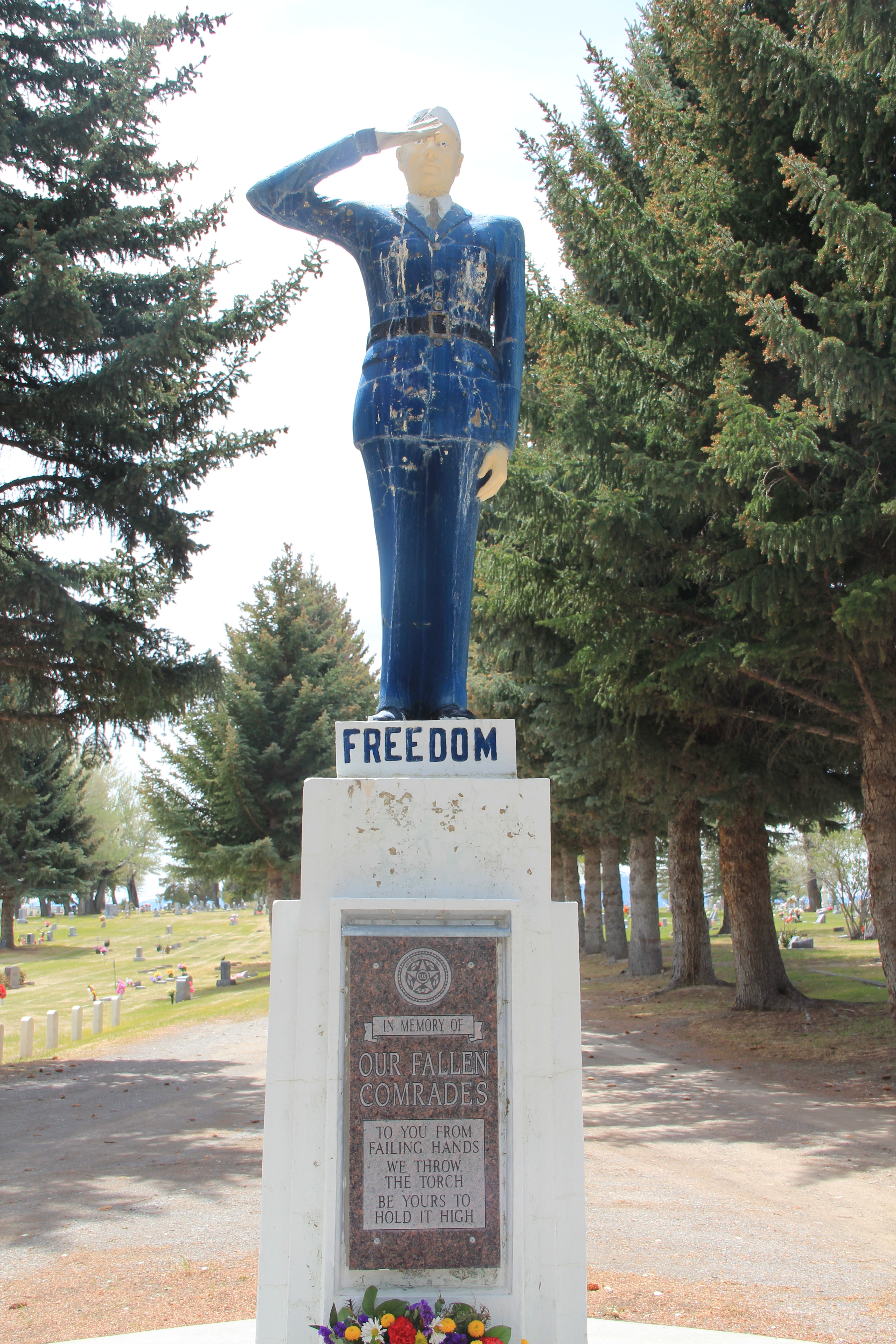
My exploration of Montana’s historic landscape–an experience that has shaped my career and teaching philosophy so deeply–began in earnest 30 years ago this month. I had been working with the Montana State Historic Preservation Office for several weeks, organizing information already known about the state but also realizing that much was unknown. That is why the MT SHPO Marcella Sherfy wanted to send someone out of the road–to look, listen, and find what was missing. In February 1984, the fieldwork began, with the initial focus on the Hi-Line and the first stop, Toole County and the county seat of Shelby.

View of Shelby, looking north, taken from county courthouse, 2013
The first stop was Shelby, where I also launched my effort to talk about historic places and the preservation planning process with local communities. We met at the local library/museum which stood next to the courthouse.

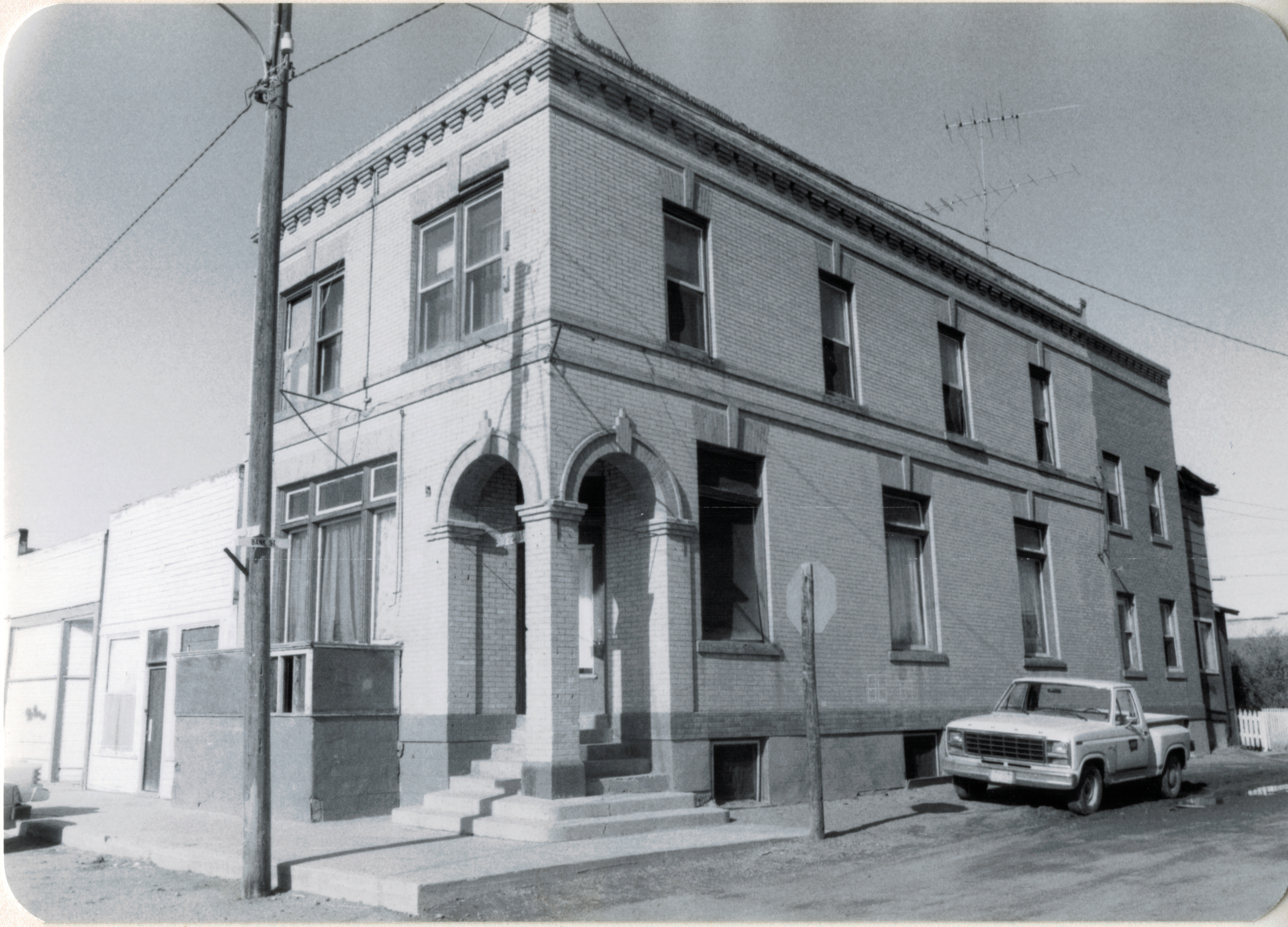
Toole County Library, Shelby, MT
I learned two things that February 1984 night in Shelby that shaped my work for the next 3 months: do the community meetings first–Montanans were intensely engaged with their history and made information and primary sources to share. Just as important, I learned of their pride in the county courthouse–an architectural statement of Art Deco modernism in the guise of local materials and stone that might not be “technically eligible” for the National Register (at that time it was not yet 50 years old) but that everyone considered the landmark of the city.

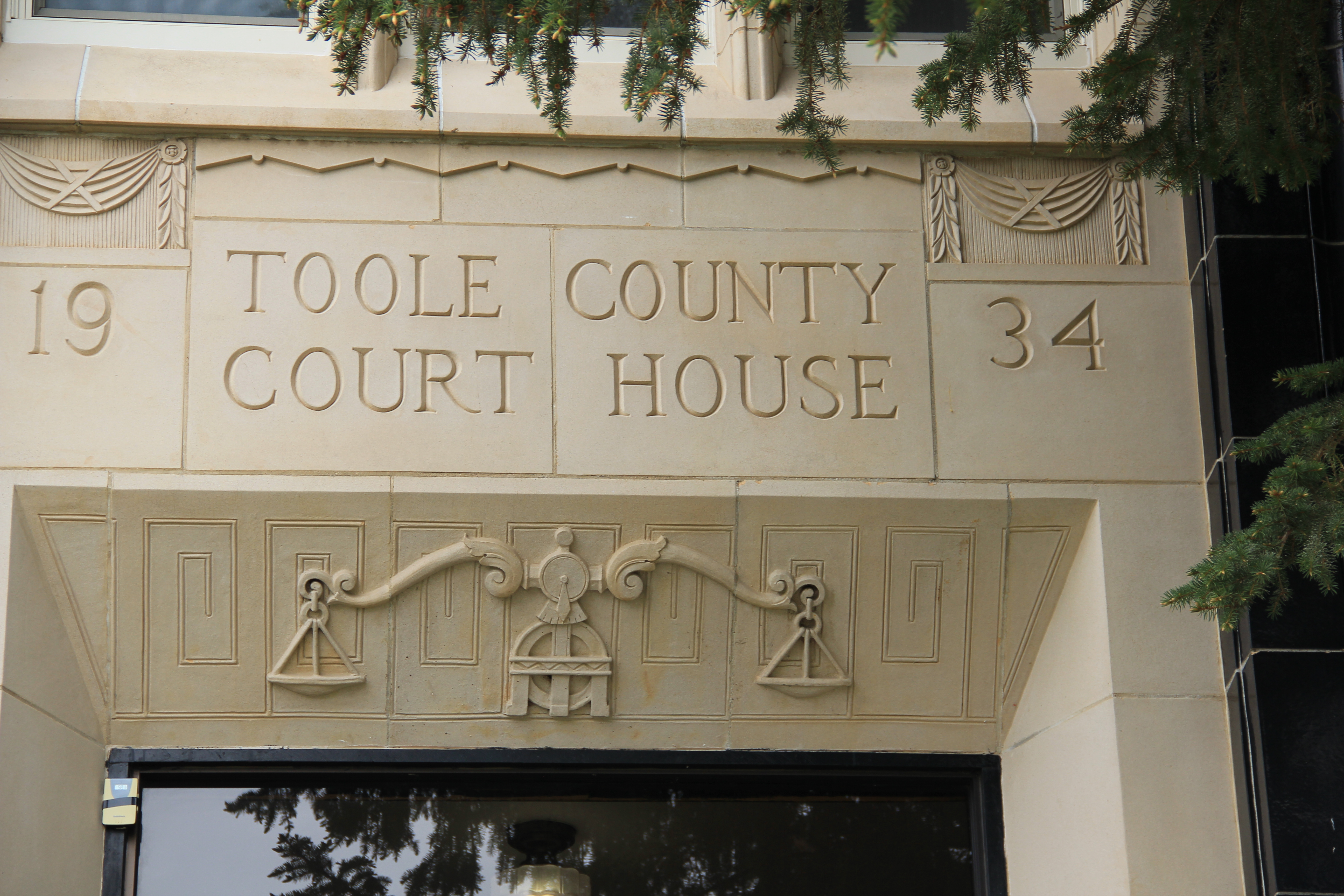

This 1934 building, one of the many Federal Emergency Relief Administration projects that shaped small towns and agricultural landscapes across the state during the Great Depression, looms high over the time, with the overall setting enhanced by the period landscaping and stone veneer steps from the parking area to the front door.

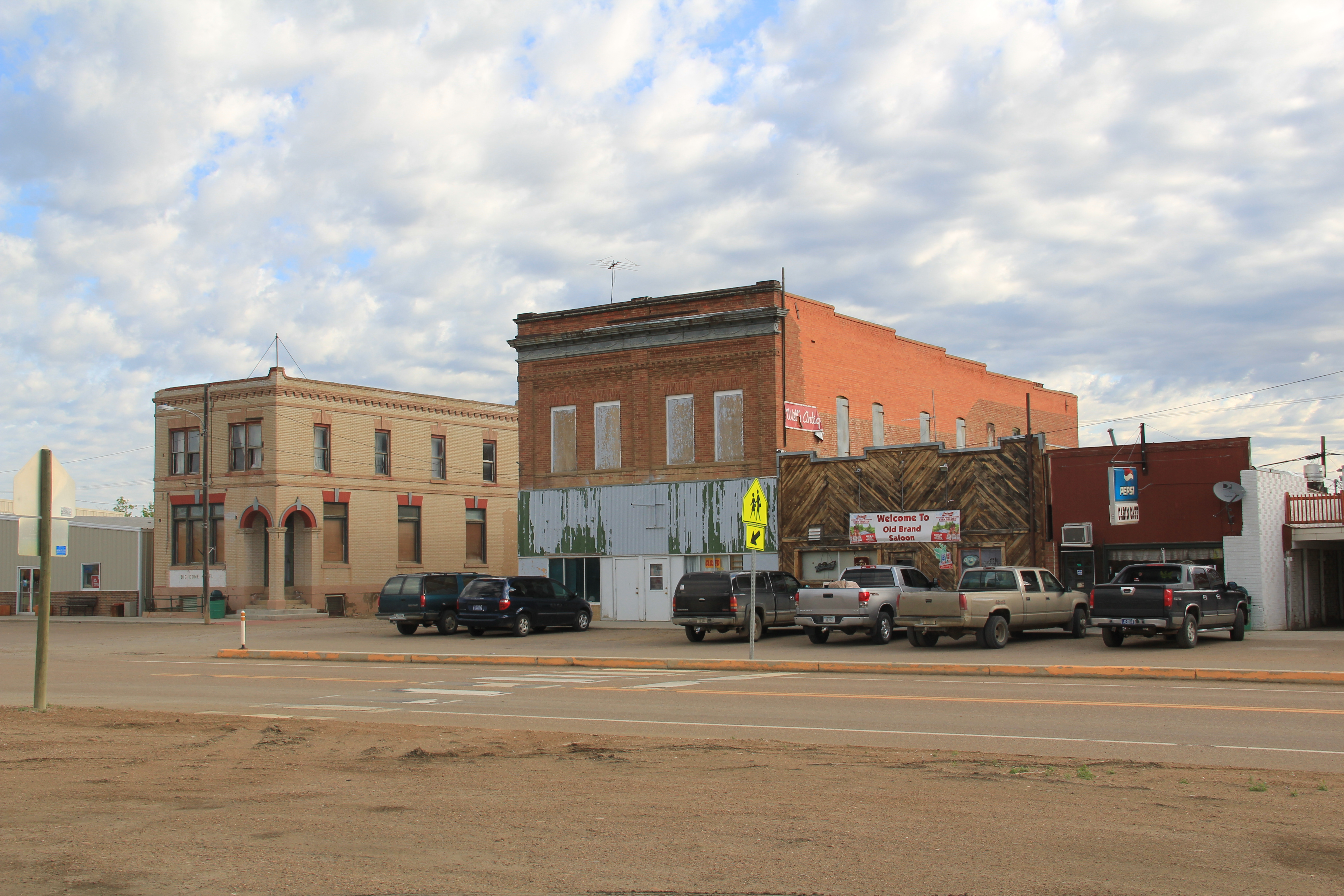
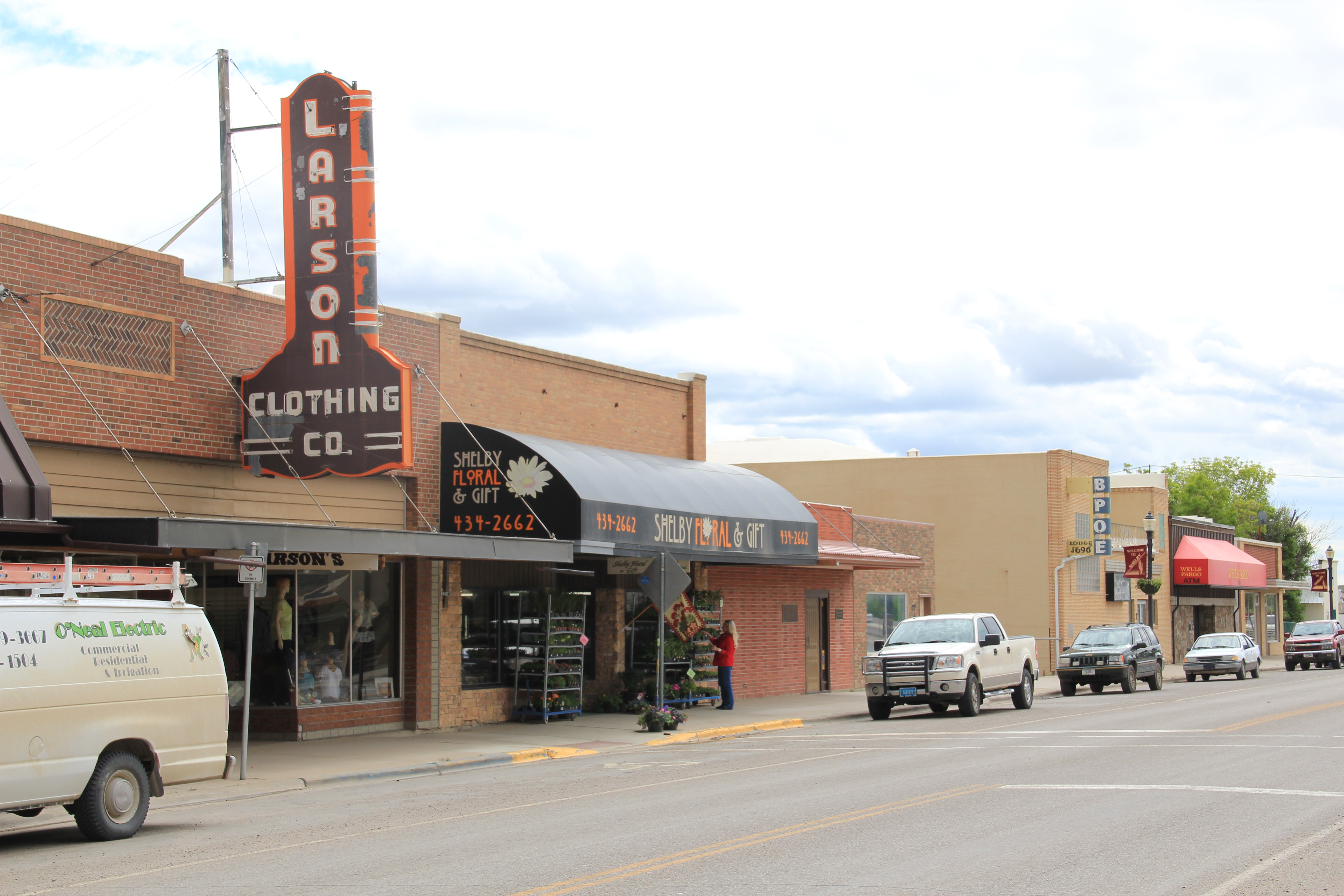
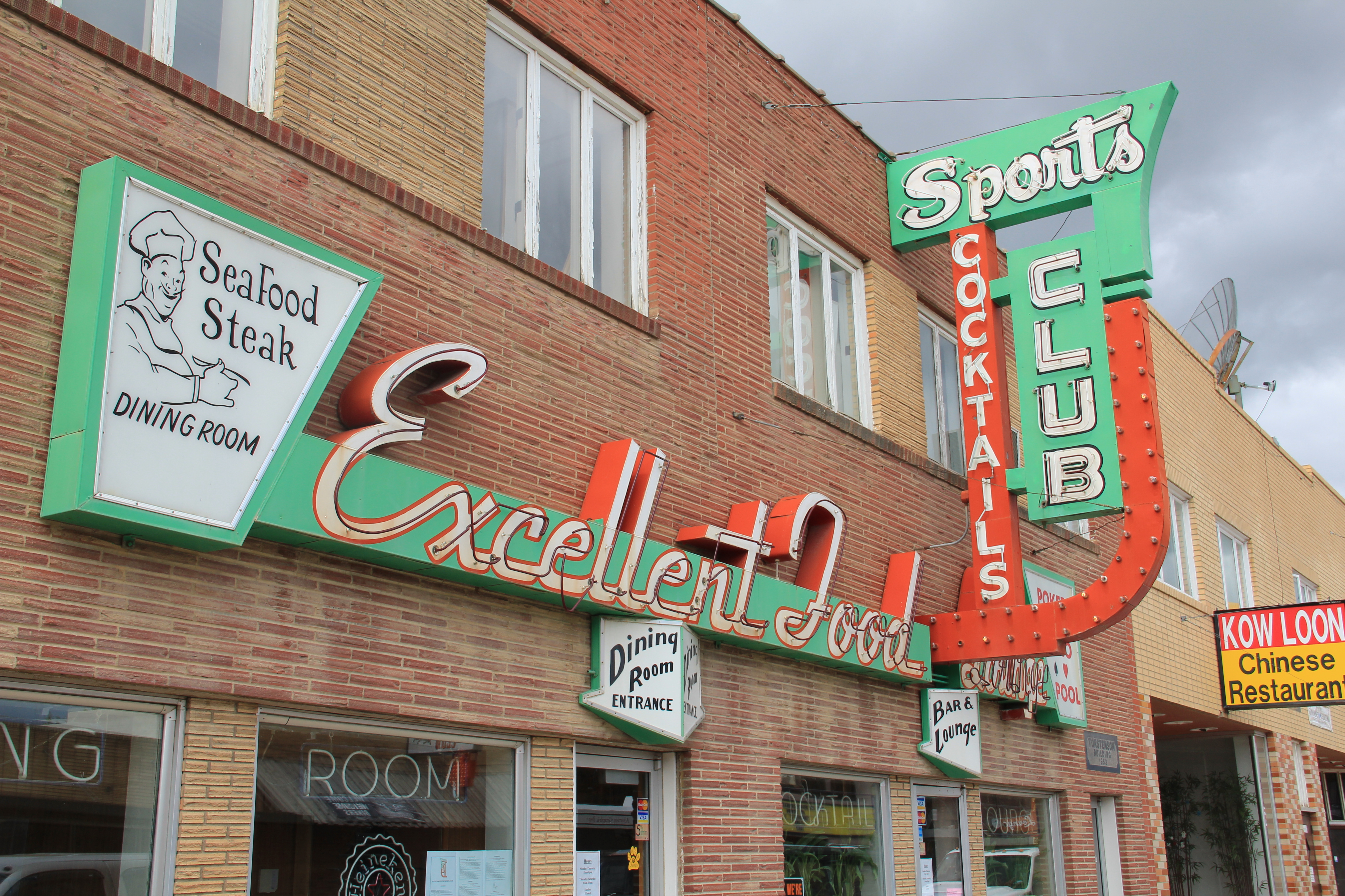
The new courthouse gave the town a new focus, away from the railroad corridor created by the Great Northern Railway, and then the flashy commercial strip of stores and taverns along the adjacent highway corridor of U.S. Highway 2, a route also improved during the New Deal years.
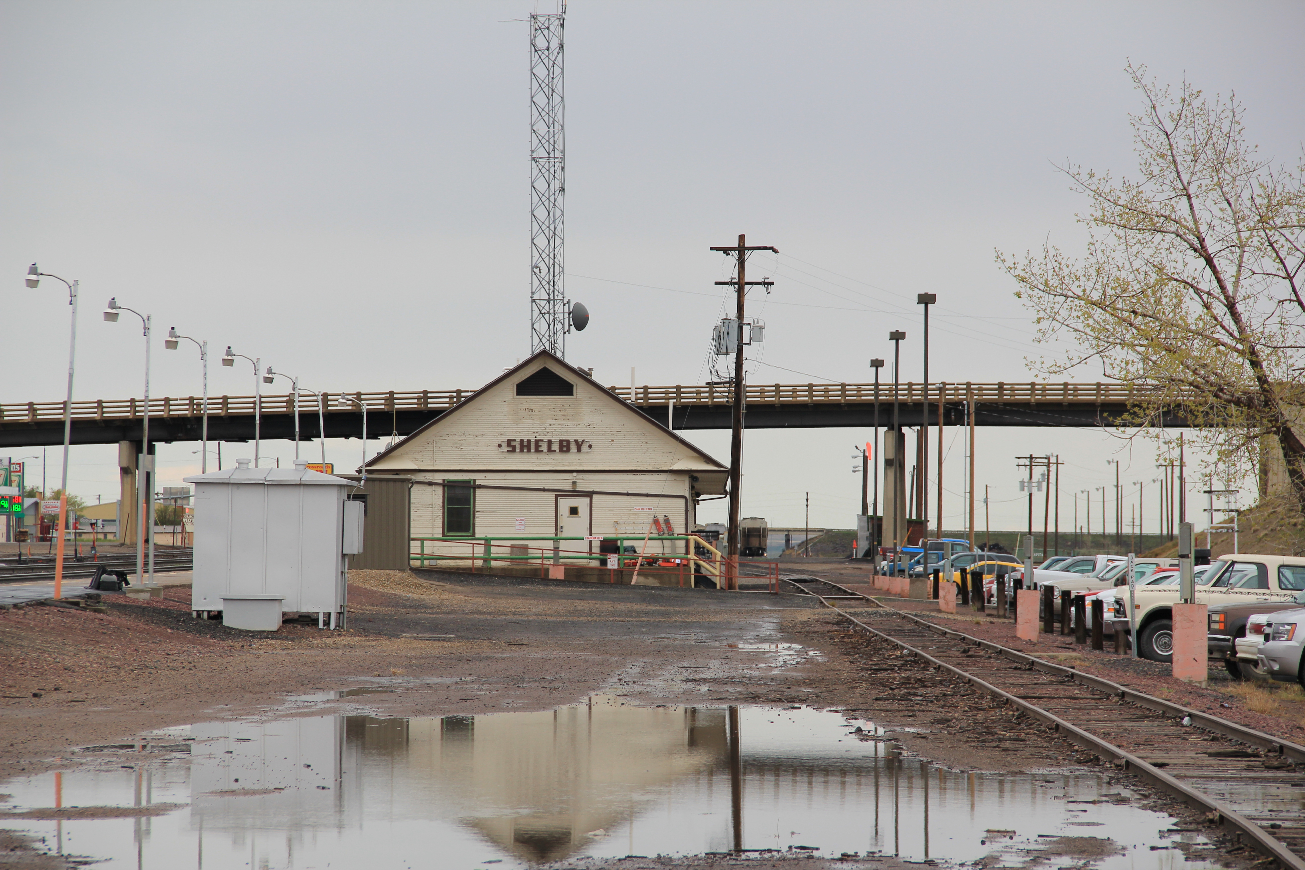
In Shelby, at the first of the 1984 work, I learned of the imprint of the successive waves of the railroad, then highways, and then the New Deal on Montana’s Hi-Line towns. Those patterns of development would be constants throughout the fieldwork. But after the stop to Shelby, I was then ready to explore the surrounding rural landscape. And that will be the next story.