Saco and Montana’s Hi-Line 30 years ago and today

Saco, a small Great Northern Railway town on Montana’s Hi-Line in Phillips County, is a good place for comparison photography from the historic preservation planning work of 1984 to my return trip in 2013.  

Image

As I worked across the state in the winter and spring of 1984, my schedule and route was mostly self-driven: choices on how much I wanted to see and in what depth were left to me.  But the State Historic Preservation Office wanted me to take a particular close look at Saco because  several citizens and property owners were turning to historic preservation and no one at the office in Helena really knew what the town looked like.

Image


Image

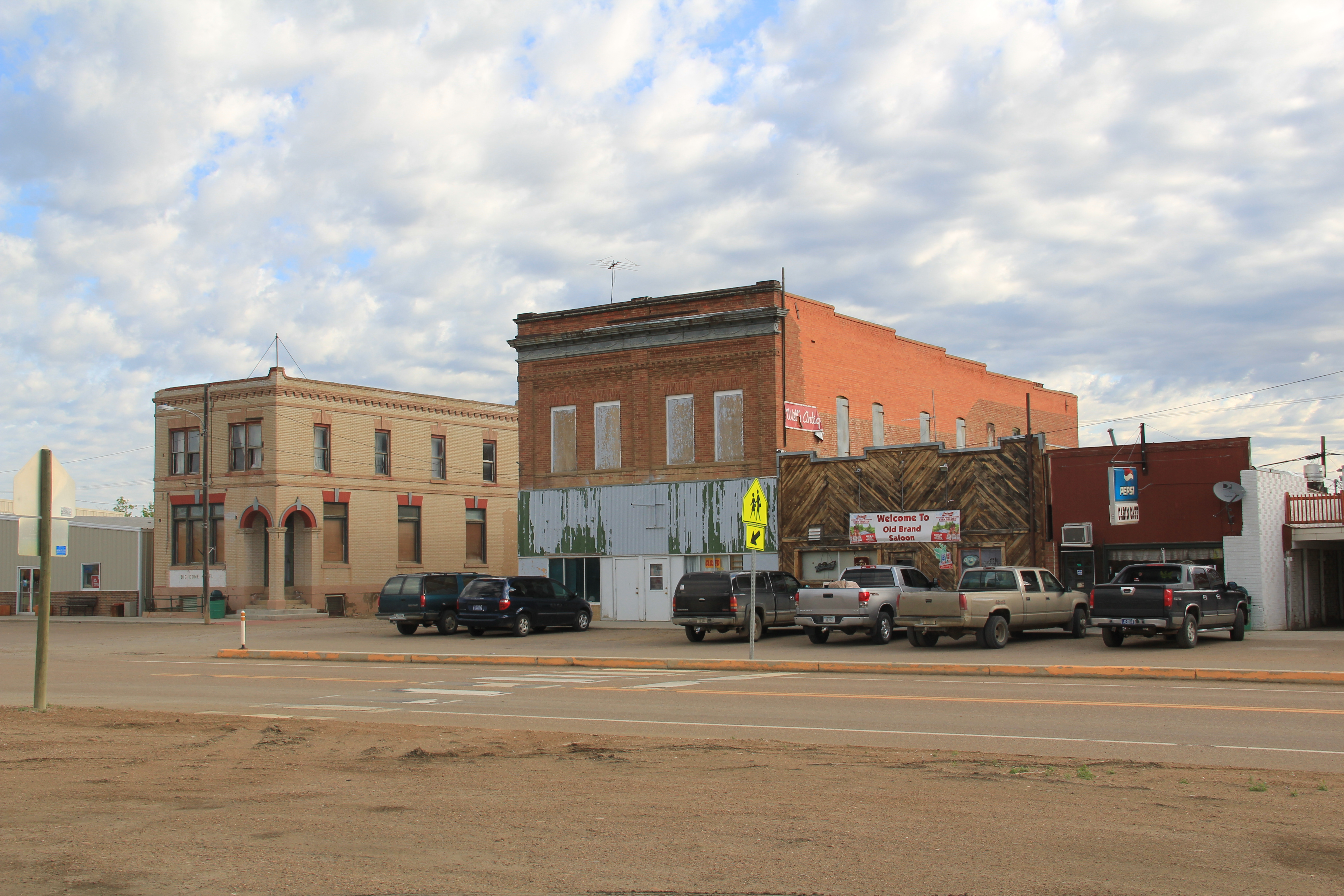
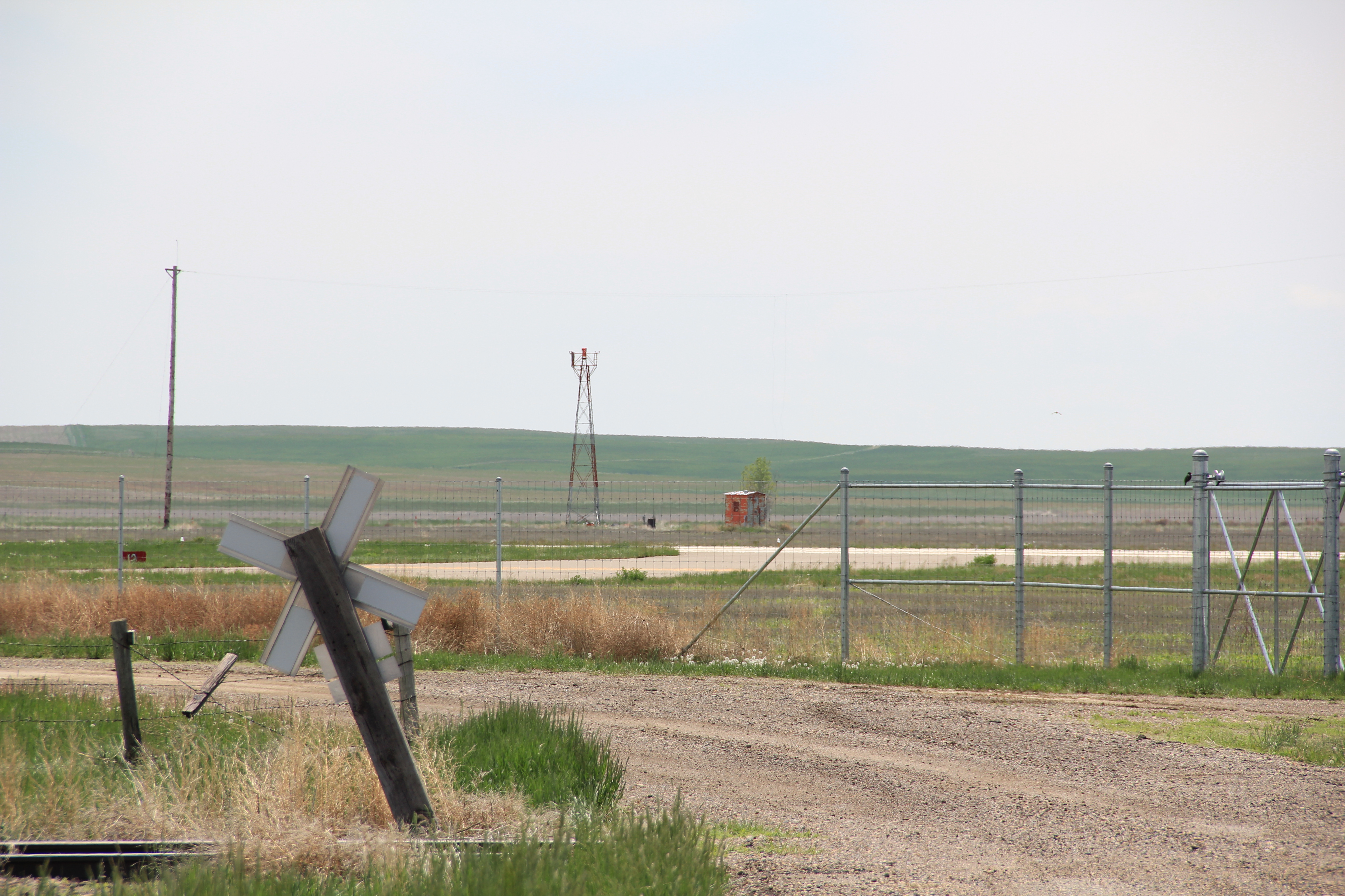
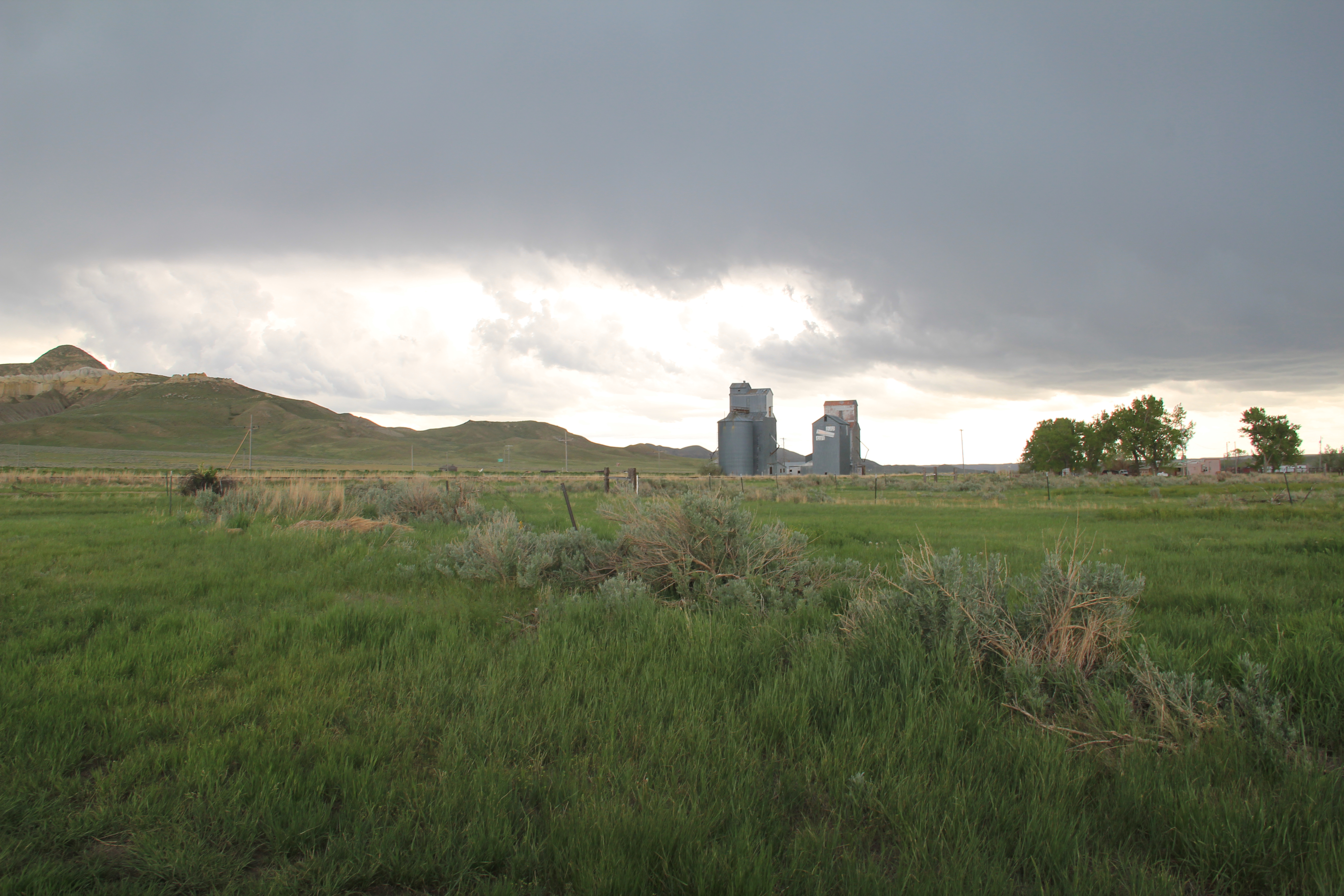
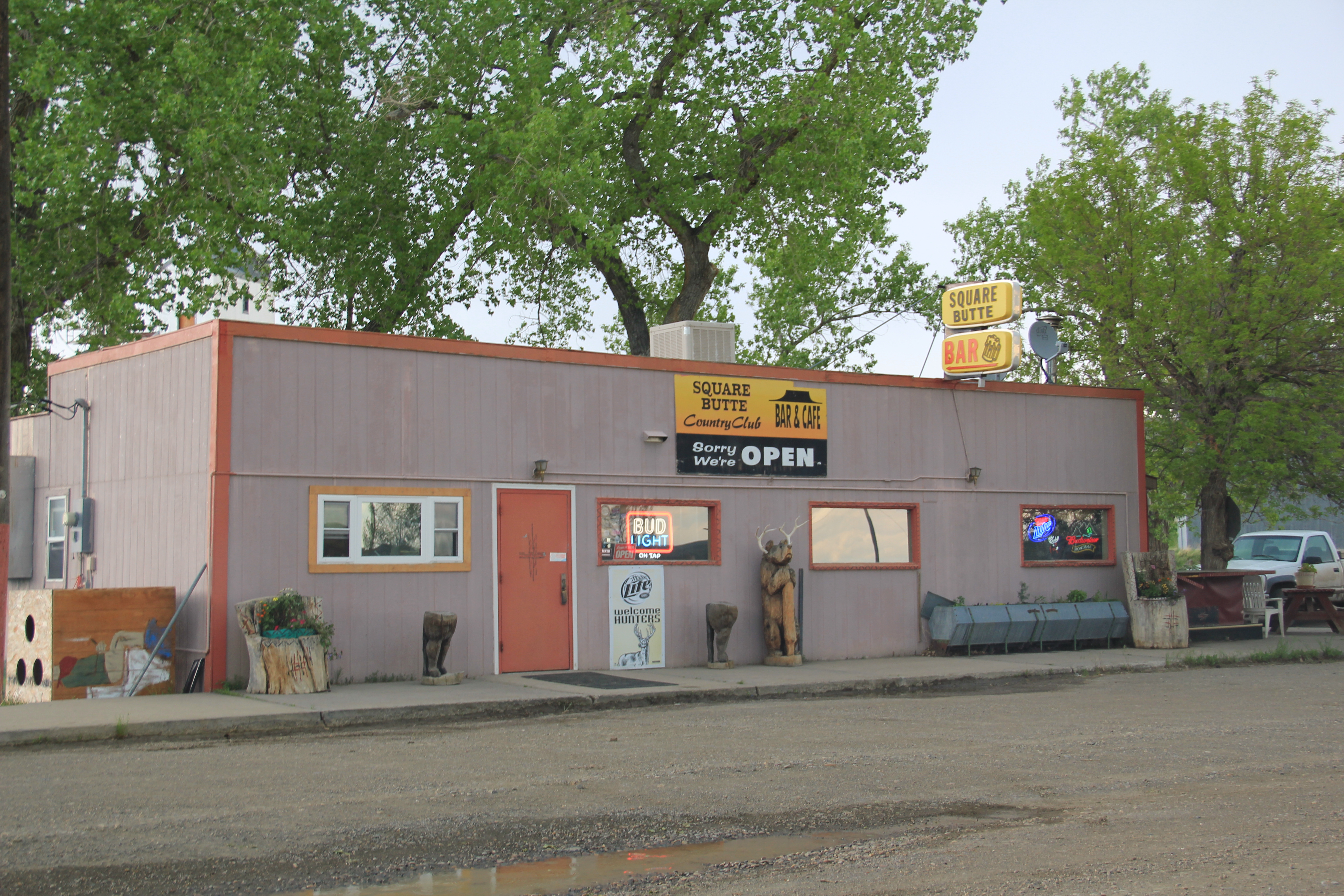
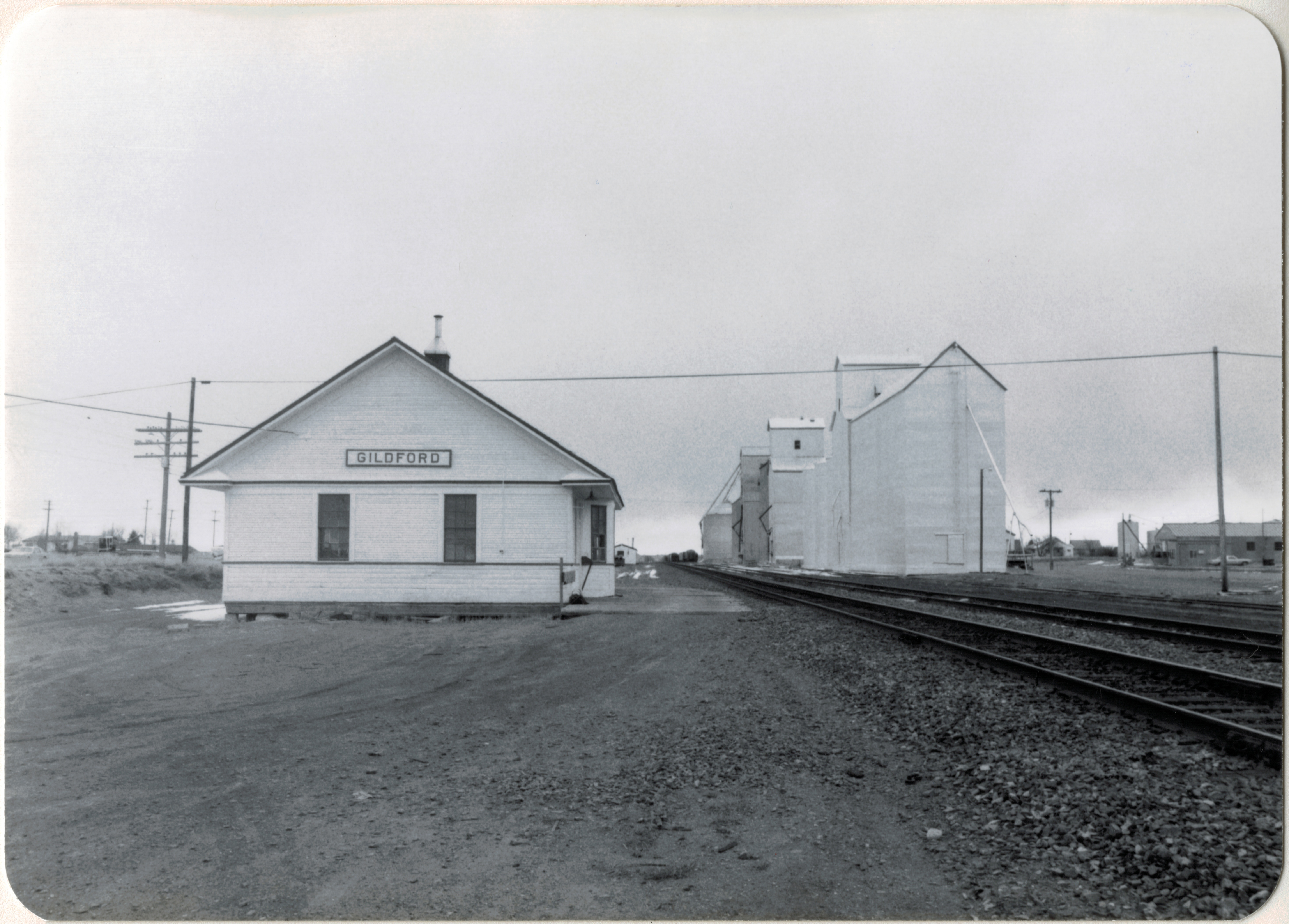
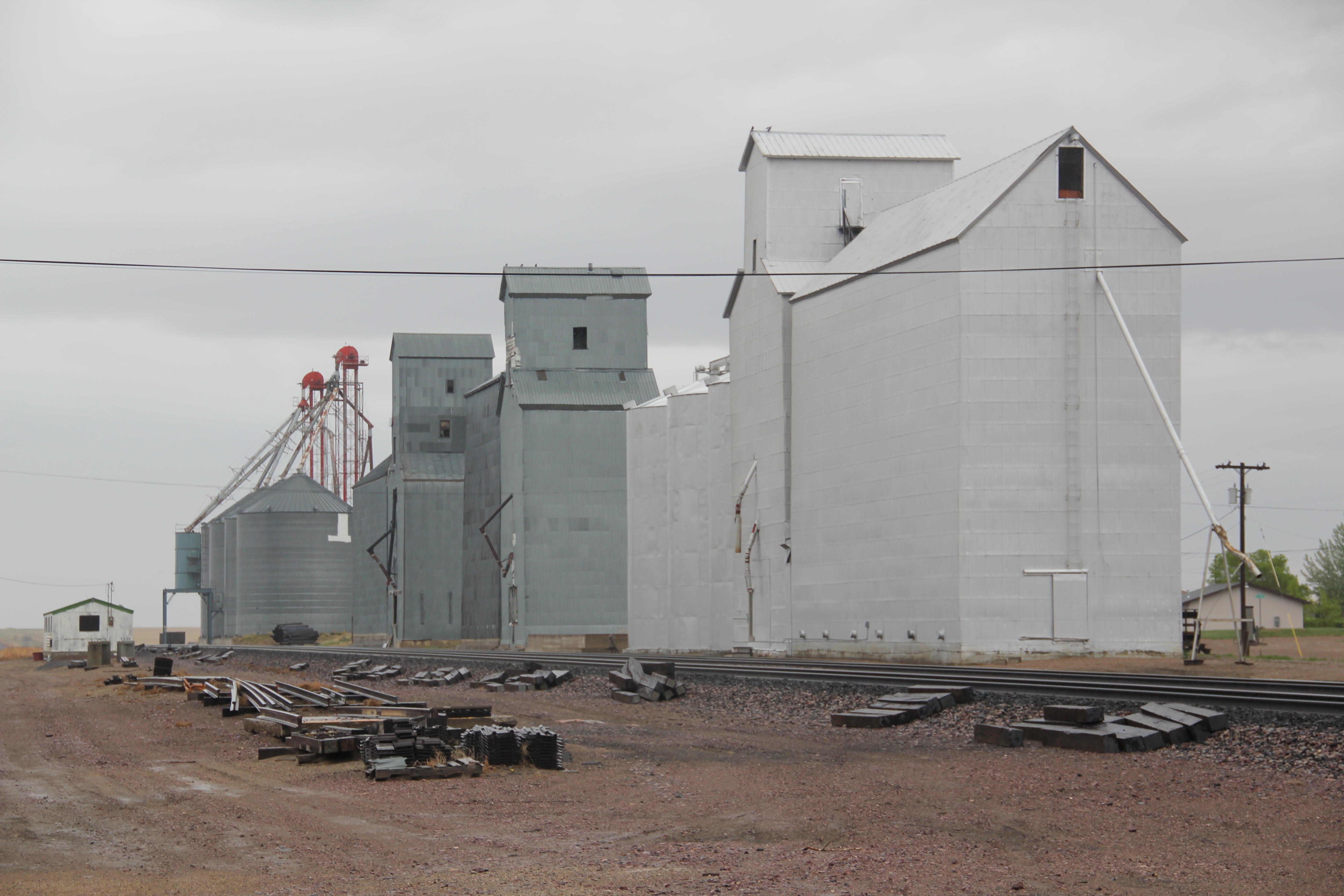
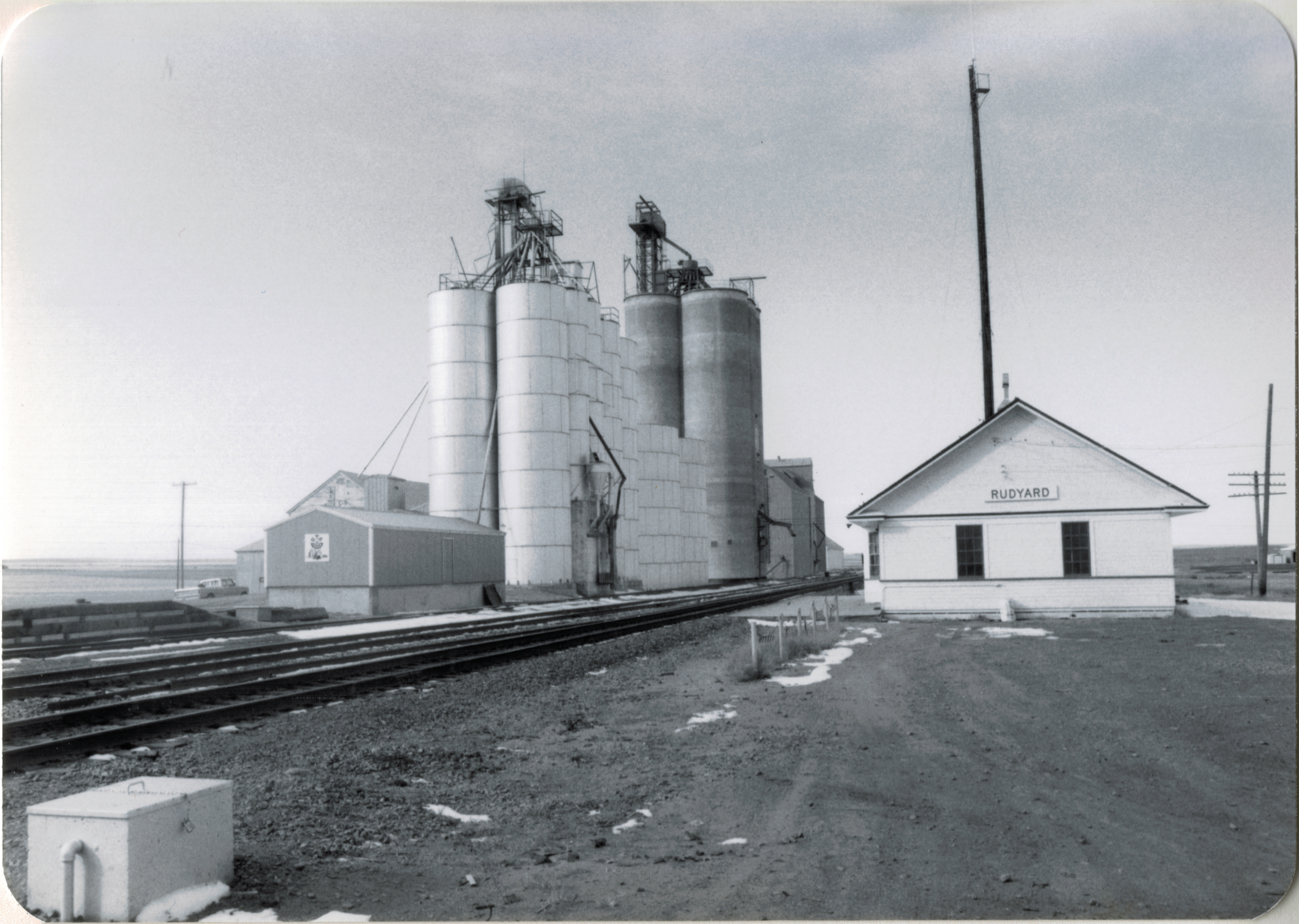
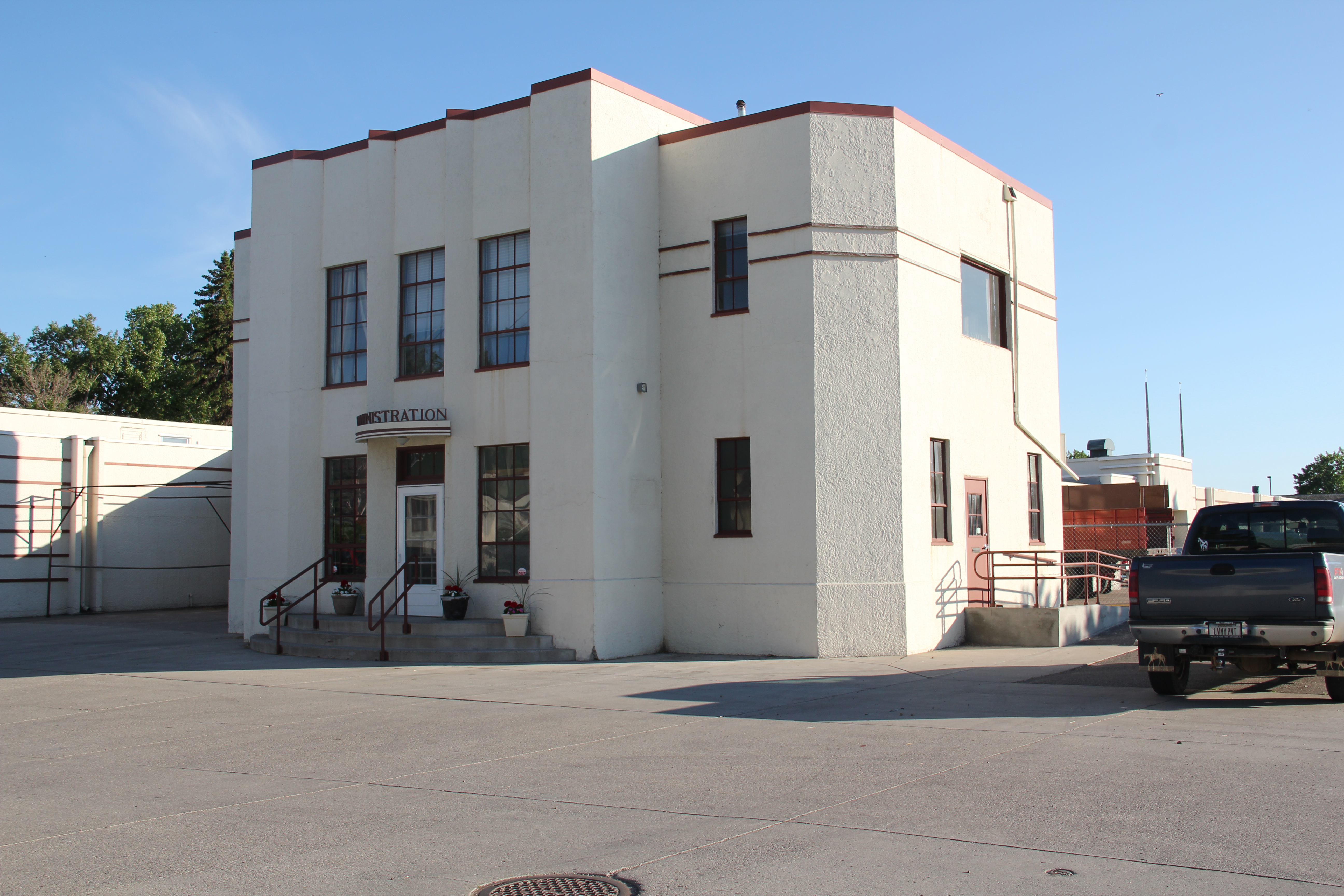
Saco at first glance was similar to many other Hi-Line railroad towns that were not county seats.  It had a T-town plan, that is the primary commercial artery faced the tracks (that was the route of US 2) while a secondary commercial street radiated like the stem of a T from the center of the town.  Saco then still had a Great Northern depot, one of the standardized small designs from the 1950s.  Across from the depot on the highway was the Clack Service Station, where I bought gas that morning.  The service station was later listed in the National Register as part of the effort to identify key roadside architecture along US 2: the station now serves as a visitor center.

Image


But in 1984 no one in Saco talked about roadside architecture.  The focus was on an early 20th century two-story bank building.  Many Montana railroad towns have similar buildings–really landmarks of capital, then and now.  They spoke to the promise of the town–and were always located on the prominent corner (here the point of the T) facing the tracks.  No one who passed through Saco and bothered to take a look would doubt that local residents believed in the community because there was the architecturally impressive bank building, commanding respect on the plains landscape by its mere presence. 

Image


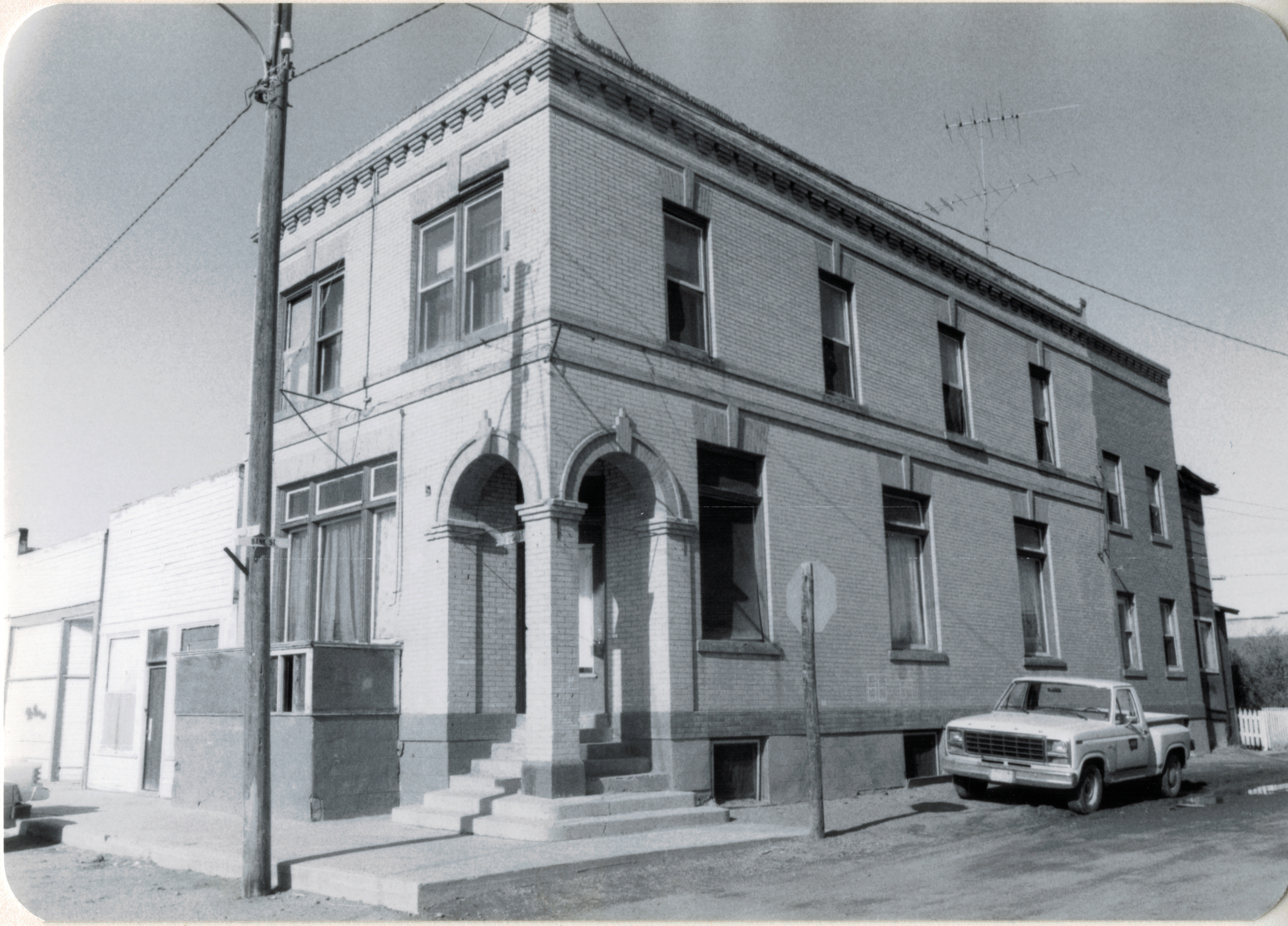
Saco was different than other communities because the opposite corner from the bank was also occupied by an architecturally notable two-story commercial block, and today both of those buildings remain as physical anchors of the town’s early 20th century history.

Image


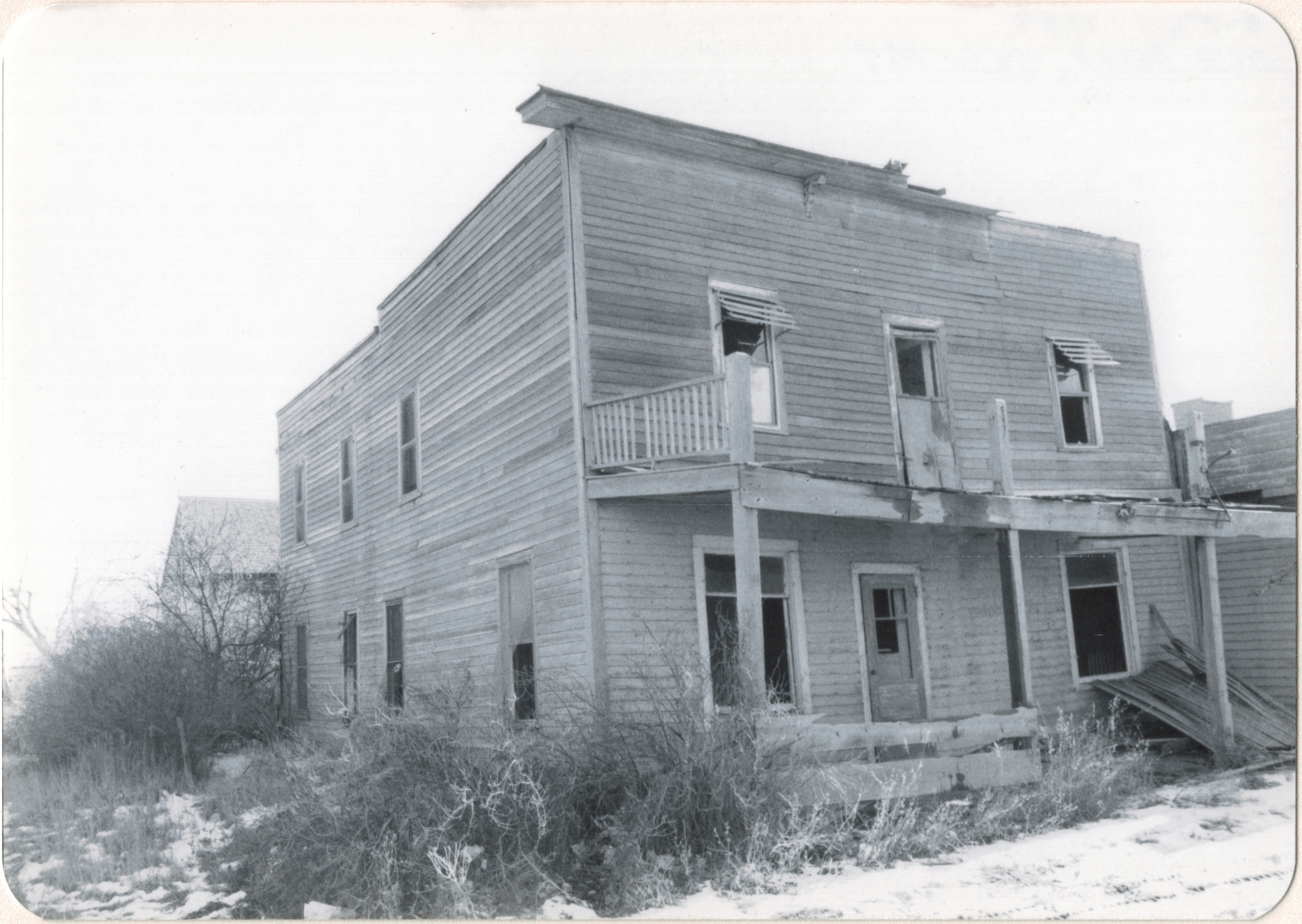
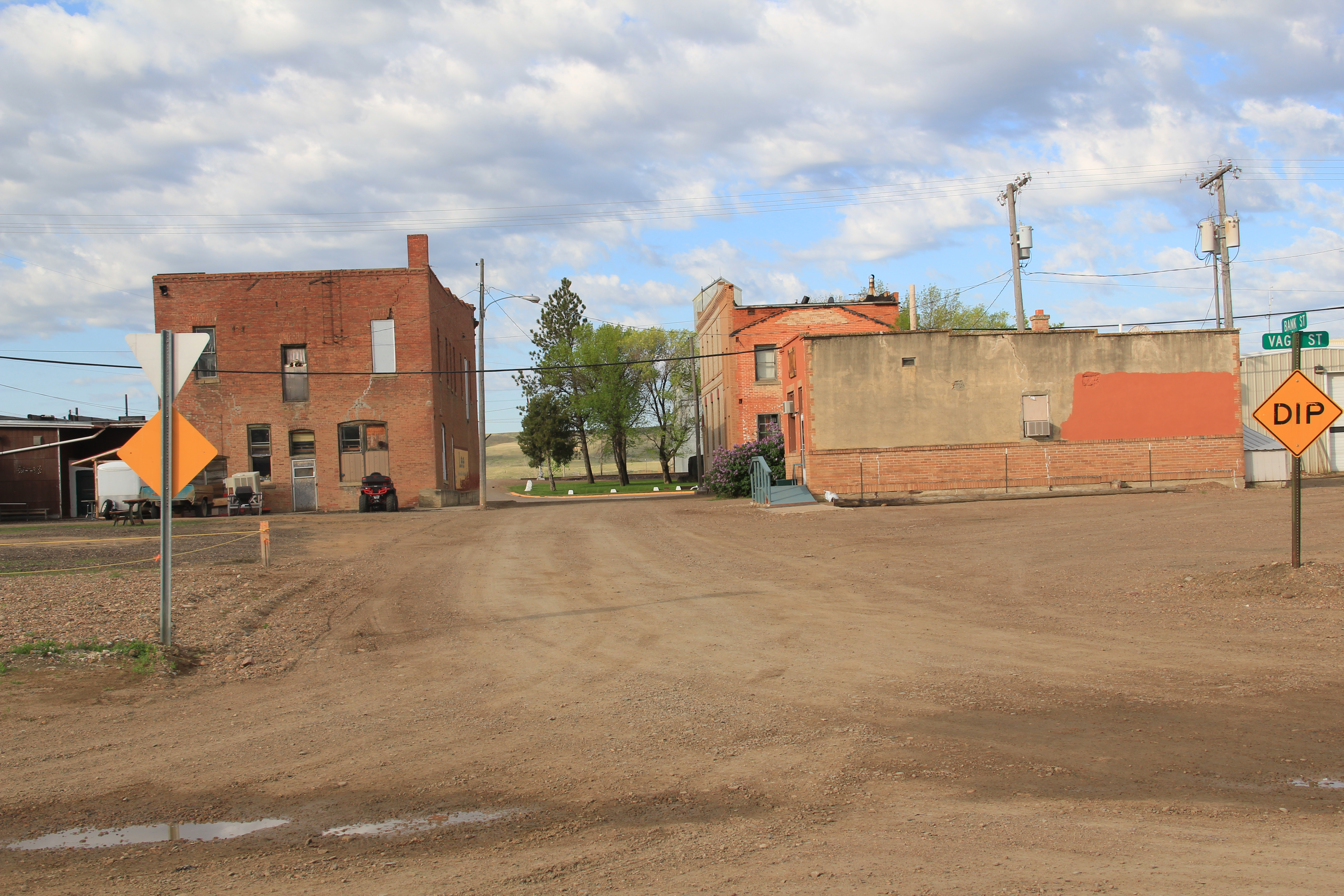
However, the commercial buildings that once lined the stem of the T are missing.  Here is a view from a window in the second floor of the bank building that show some of the buildings.

Image 

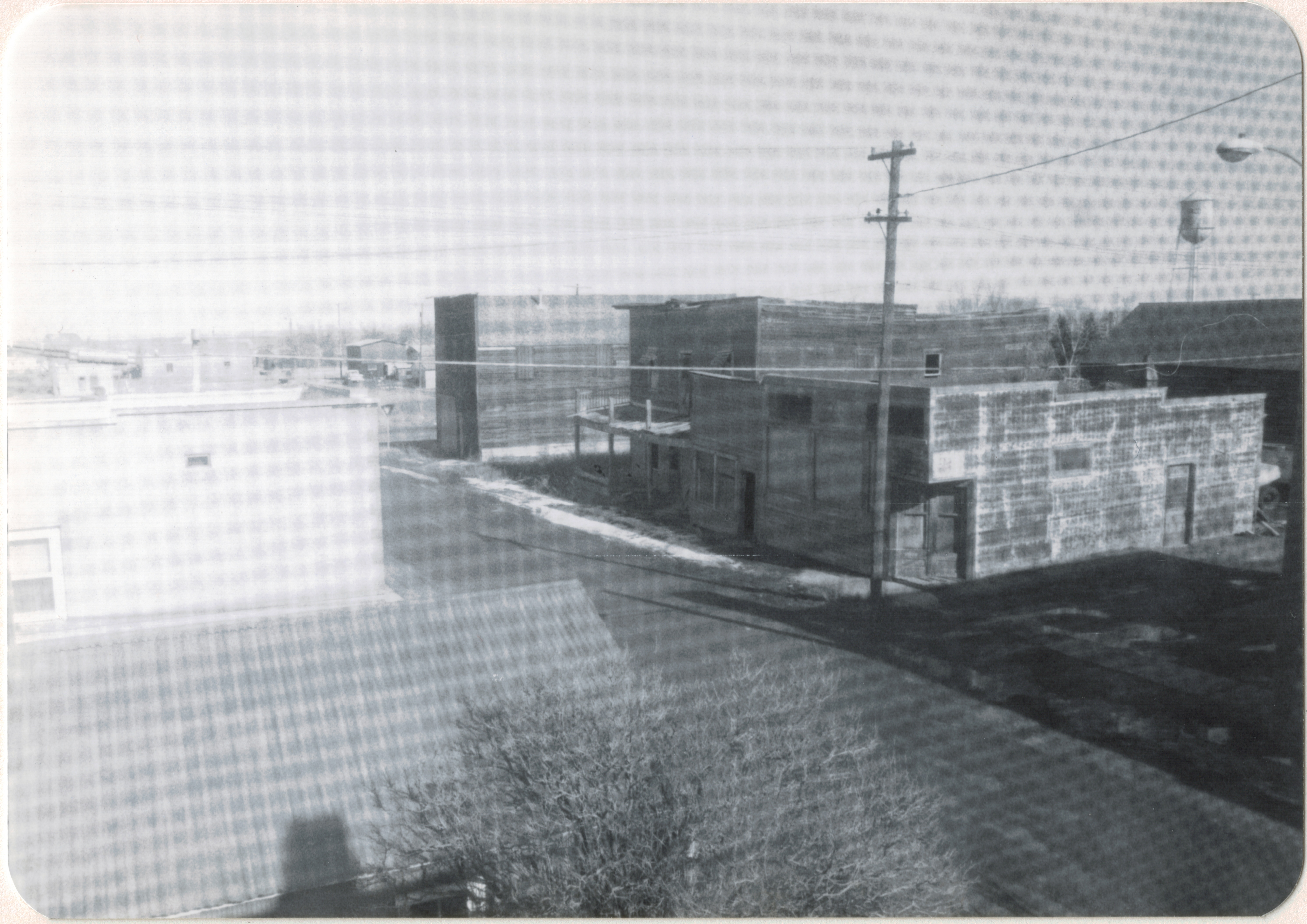
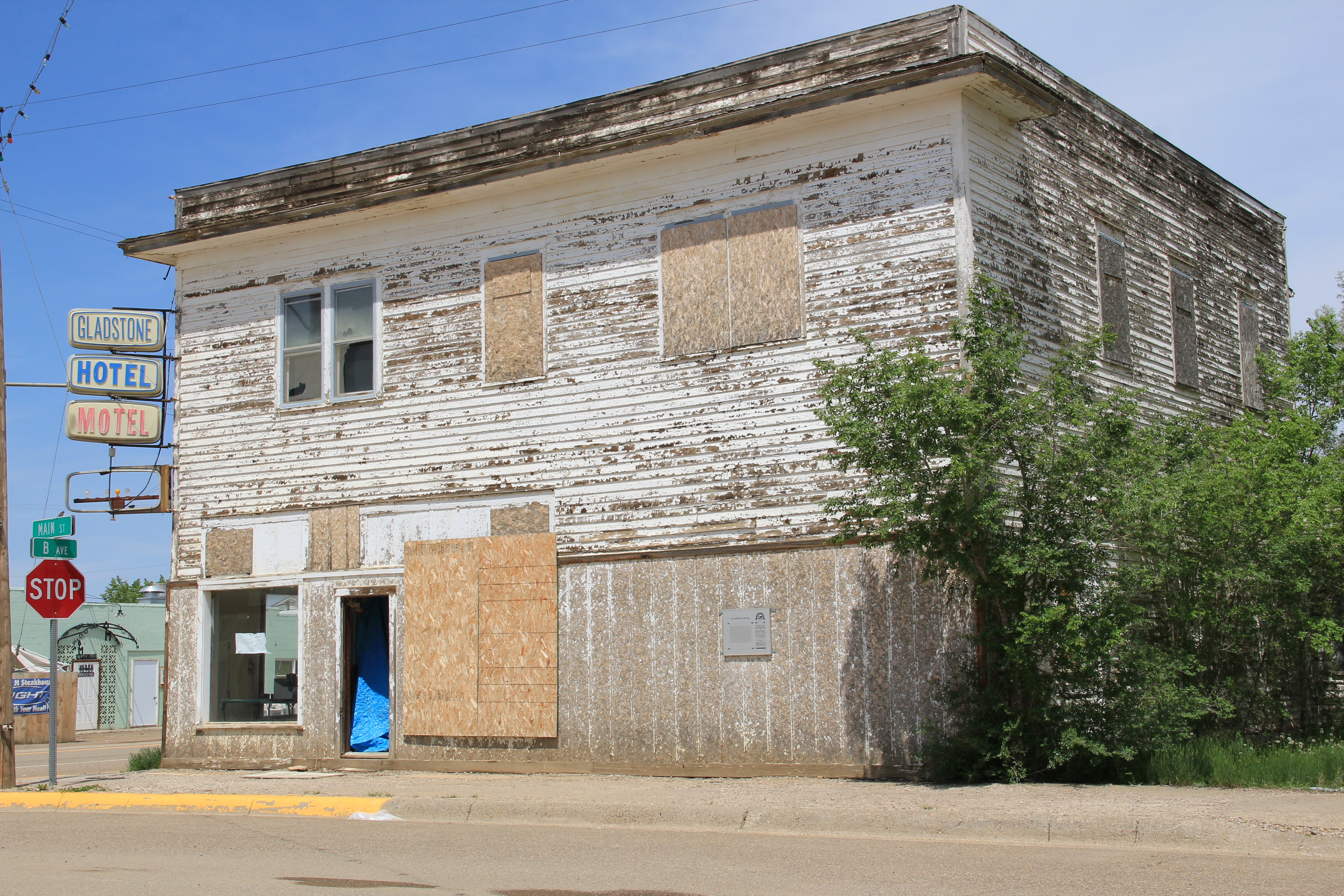
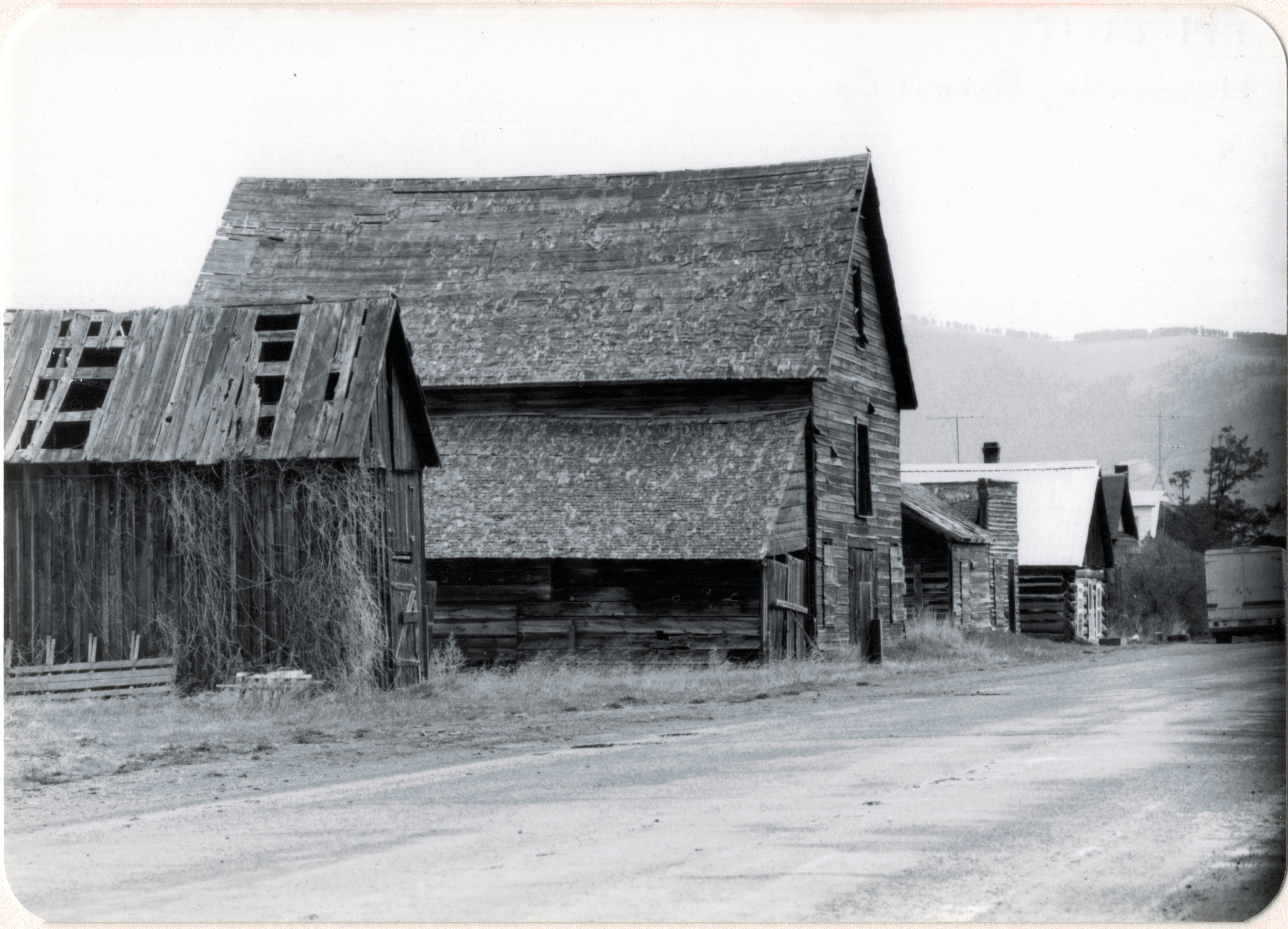
One old hotel was barely hanging on in 1984 as these two photos show. and residents wanted to keep it, but now those are gone and the block behind the bank and the commercial block have been wiped clean.

Image


Image

Image


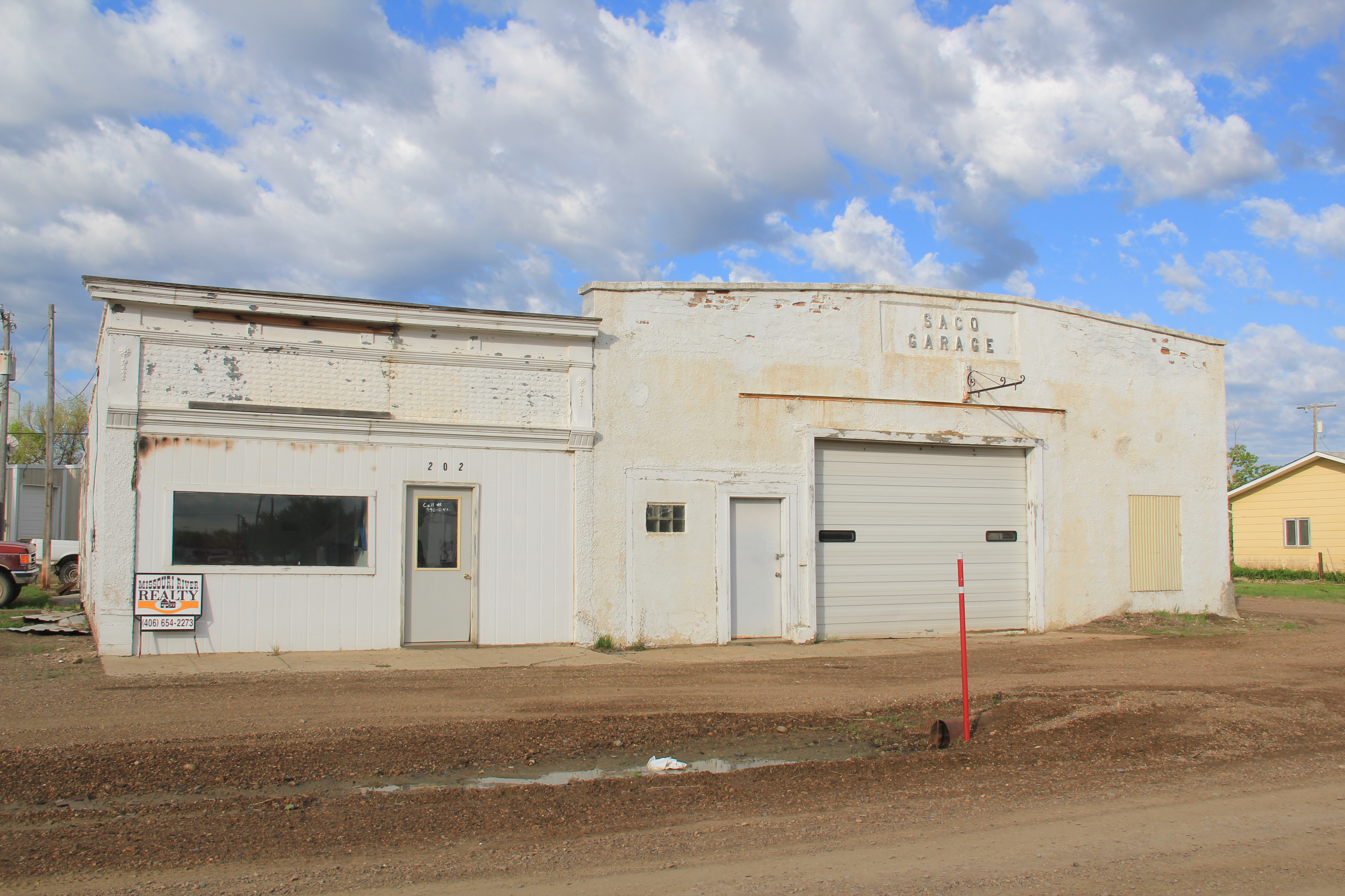
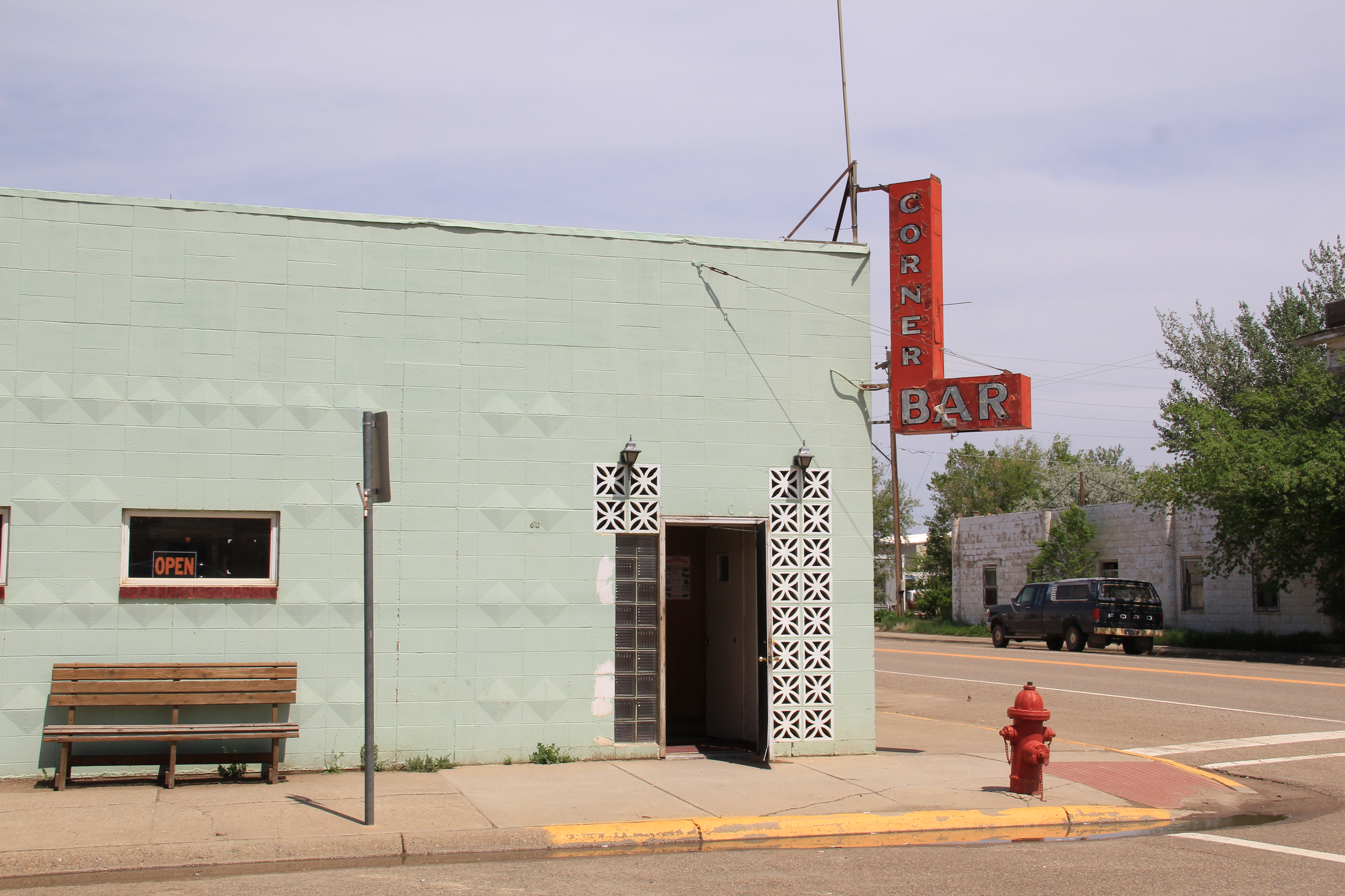
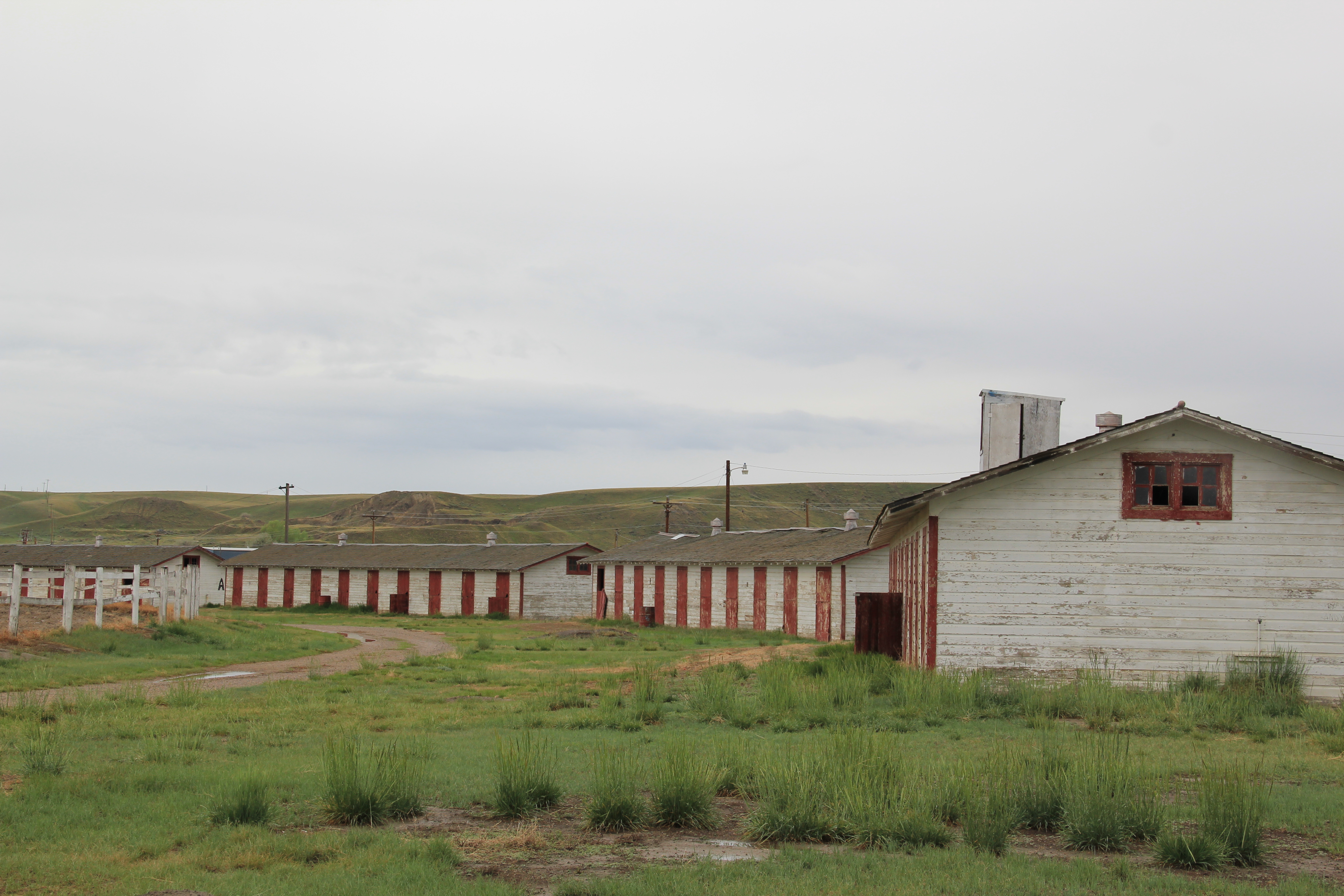
Other one-story buildings on the highway have also been demolished to make way for new prefab structures, but on the streets behind US 2 a good bit of historic Saco remains, from lodge buildings to garages.

Image

Image

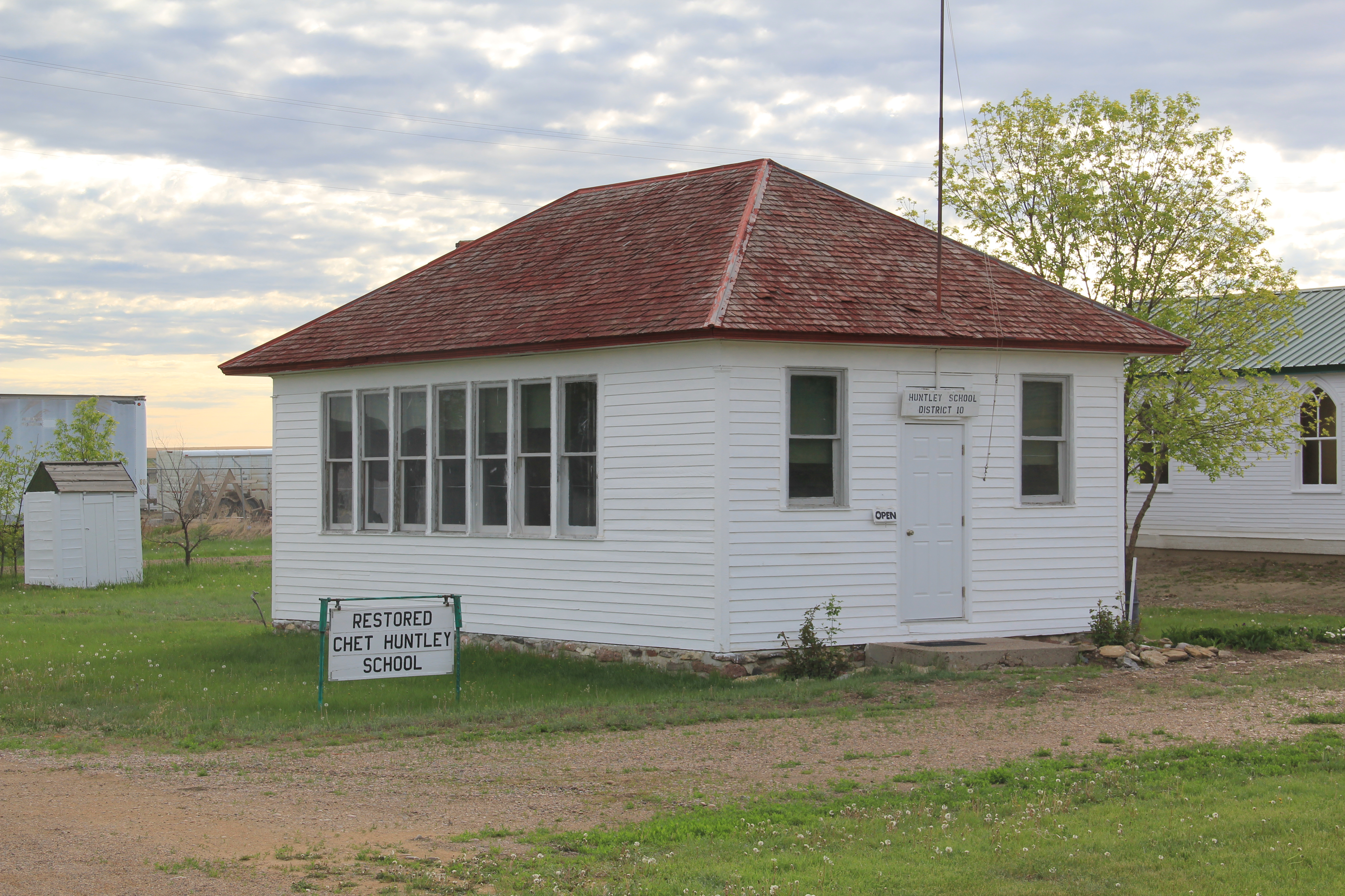
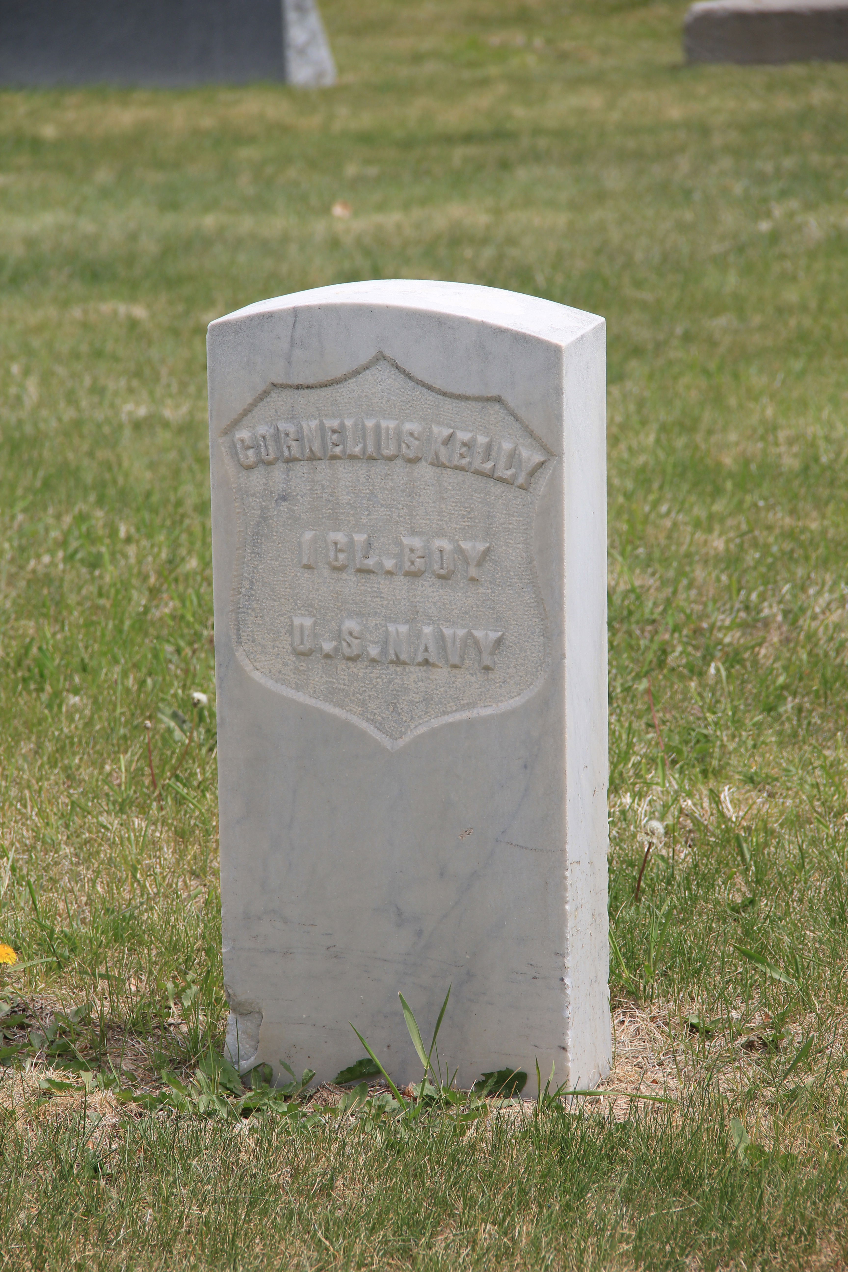
Saco in 1984 even had a historic attraction–the one-room school that Chet Huntley attended when he grew up in this part of Phillips County in the early 20th century.  In 1984 the Huntley school was worthy of a stop–because of the fame of Chet Huntley, who also wrote well of the place in his memoirs.  But now few stop to look, I was told–because no one recalls who Chet Huntley was.  He was a legendary newsman of his time, and his NBC program once ruled the airwaves.  Then CBS named Walter Cronkite as its evening news anchor.  He is the name people still speak of in the 21st century.  Chet Huntley has been forgotten. 

Image


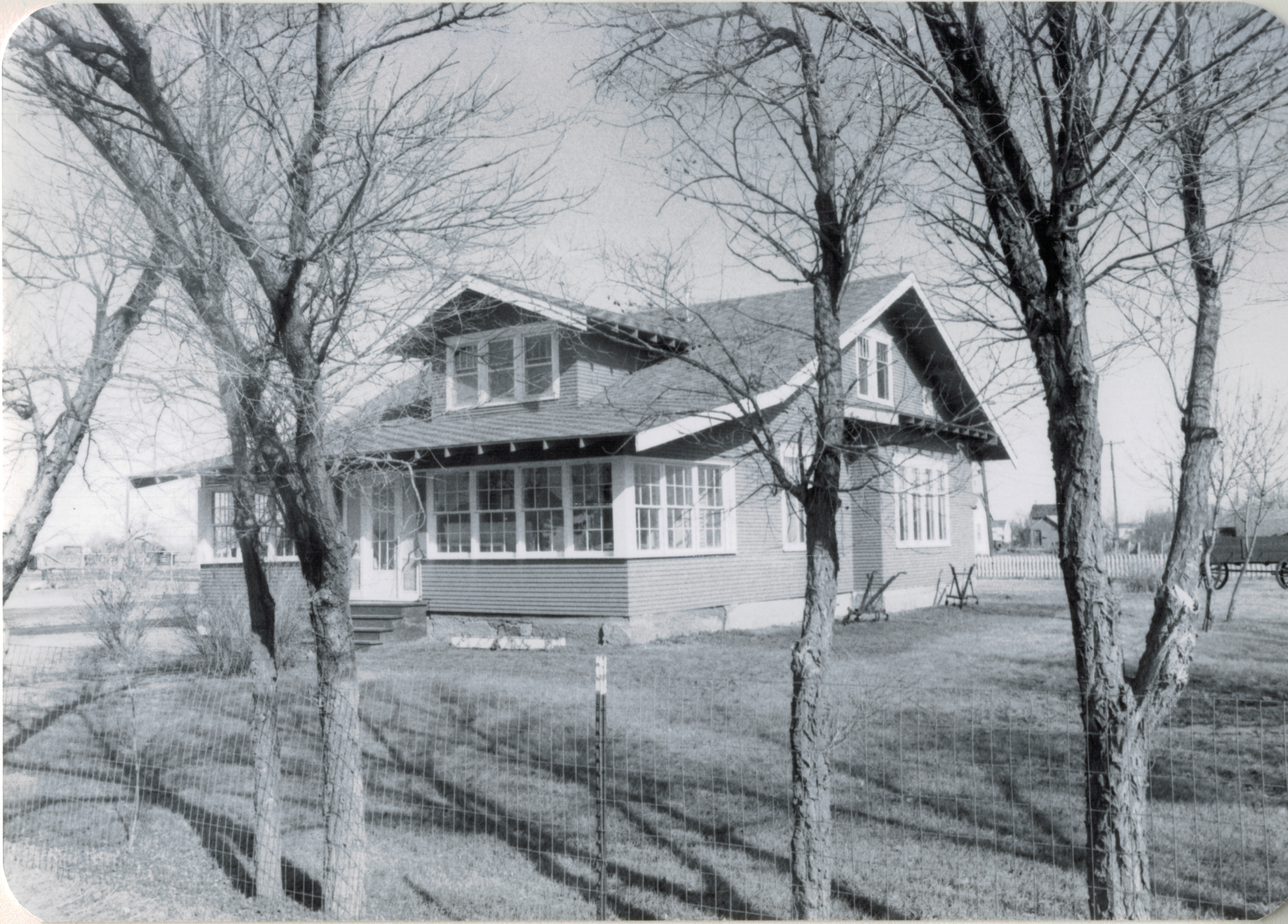
My last stop in Saco in 1984 brings this brief narrative to a happy ending.  One resident wanted to show off his home–an attractive bungalow.  We explored the place and looked over the blueprints–from Sears Roebuck–that his family used to build the place in the second decade of the 20th century.  100 years later, the house remains, as attractive as ever. 

Image


Image

Families remain devoted to Saco, and while its time as a commercial stop is diminished from the early 20th century it remains a community adding new layers of history to this place on the Hi-Line.

Image


Montana’s Civil War Veterans: Dillon’s Mountain View Cemetery

As a series of feature articles in the Great Falls Tribune have emphasized for the past 3 years, Montana does have a Civil War story, just one that has been forgotten, even neglected over the decades.  To be sure like most people exploring the Montana landscape, I too had trouble seeing those elements–outside of General Thomas Meagher’s commanding statue in front of the State Capitol in Helena.  But as I have been back in the Big Sky Country the last three years, I have found many places that help tell the state’s story in the years that transformed the United States into the country we know today.  It is more than the the Civil War Sesquicentennial that drove my greater attention–in Tennessee I am the co-chair of the state’s Civil War Sesquicentennial Commission, and here in the Volunteer State it is often all about the Civil War.

To mark Montana’s Civil War landscape, and to honor the many veterans who have served their communities, their state, and their country in this week before Veteran’s Day, I want to draw your attention to a truly exceptional place–the Mountain View Cemetery in Dillon, Montana.

Image

The cemetery contains a wealth of grave markers and statuary from the late 19th and into the 20th centuries.  The view from the cemetery is truly inspiring as well–it is among the best maintained community cemeteries in western Montana.

Image

IMG_3635IMG_3636

What is most striking about Mountain View Cemetery is its attention to veterans and the number of former Union soldiers buried within the cemetery.  The standardized U.S. Army shield grave marker, with the soldier’s name and his unit listed, is found in abundance at Mountain View throughout the older parts of the cemetery.

IMG_3633

Here is just a sampling of the Civil War veterans memorialized at the cemetery:

IMG_3657    IMG_3655

IMG_3652  IMG_3656


The most remarkable tribute to the veterans at Mountain View Cemetery comes from the mid-20th century:  a somber tree-lined path to veterans from more recent wars, heralded by a statue calling for freedom, honor, and justice, values that drove those federal soldiers in the Civil War and values that our veterans today take into fields of conflict across the

IMG_3625 IMG_3626

the world.  Thank you all veterans for your service to our nation.


Discovering the “Montinental Divide”: Circle

Circle, the county seat of McCone County and an important crossroads in eastern Montana, is another of the towns along the “Montinental Divide.”  It is also one of my favorite places in the region.  I first encountered the dusty streets of Circle 29 years ago, when I spent a night at the Gladstone Hotel.  This two-story frame building, built in the 1910s to serve businessmen and new residents who were flocking to the region by hundreds, even thousands during the decade’s homesteading boom, was a rarity in 1984. Many Eastern 

Image


Montana towns had long ago lost their homesteading boom-era hotels or boarding houses.  Circle still had theirs, and one that literally creaked of history as you walked its hallways.  Clearly the Gladstone, listed in the National Register of Historic Places, is now closed–and awaiting a new future.  Perhaps the expanding oil boom will convince someone to revitalize the property, which occupies one of the town’s four central corners, and give it new life.

Image


Another reason I liked Circle was its museum, and especially its director back in 1984 the rather legendary Orville Quick.  Orville had a passion for his community and its history that I

Image


had never encountered before, and have rarely encountered since.  The museum combined

Image


a rather eclectic collection of local items, memorializing the homesteading era, with the region’s preference for building museums, starting with the town’s former Northern Pacific Railroad passenger station.

The museum has expanded significantly since my last visit in 1988.  Recognizing that Circle is an important crossroads for heritage tourists traveling the region’s backroads, it has multiple interpretive kiosks identifying important places and key themes.

Image


And to one side of the museum and behind the kiosks is a set of sculptures interpreting the deep, deep past when dinosaurs roamed this land.

Image


Of course there is much more to Circle than an aging hotel and a fascinating local museum. The McCone County Courthouse (1949), designed by the architectural firm J. G. Link of Billings, is a late New Deal Moderne styled building, seemingly more at home, architecturally, in the 1930s than with the Cold War era.

Image


Across the street is the town’s Carnegie Library, still a vital community institution.  Good watering holes abound–across from the Gladstone Hotel is my favorite from 1984, the Corner Bar.

Image


The McCone County Fairgrounds hosts one of the region’s best rodeos every summer and then out at the airport is yet another rare historic property–the military’s 1940s radar and radio substations that once could be found at small airports throughout the state, helping to guide planes to the more important base at Cut Bank.  Kate Hampton of the Montana State Historic Preservation Office asked me in 2012 to keep my eyes out for these resources and, while it is more difficult just to drive into airport property today than in the past, the Circle location seems to be another of these properties that help to tell the state’s World War II story.

Image


Image


Mr. Hagermann’s “montinental divide” is a fascinating concept, and if it leads you to Circle–have fun.  Great town:  here you see only some of the highlights.

Square Butte and a spring storm

Image


One of my favorite Central Montana landmarks and small railroad towns is Square Butte.  Once served by the Milwaukee Road, few travelers find the town today.  Yet several key landmarks remain–the historic late 19th century stone jail is listed in the National Register of Historic Places.  

Image


There is a historic brick school building, a bit worse for wear but still a key survivor that marks the height of the homesteading boom in the county.  

Image


But my favorite resources are the elevators along the railroad corridor–still standing tall, although in that stormy day–I made it through a pretty strong hail storm about 10 minutes after the photo–the elevators perhaps look dramatic than normal.

Image

And perhaps most importantly the town still has a local tavern, the appropriately named Square Butte Country Club Bar.  Still an important community center today, as it was in 1984.

Image


The Washoe Stack at Anaconda

Image


As a 20th century industrial landscape, Anaconda has few peers in Montana, or even the west.  I want to share that landscape in a series of posts that highlight both the well-known and the not so well known properties of the town.  

Even as a neophyte to Montana’s history, I understood the significance of the news that the smelter was closing in Anaconda in the early 1980s.  I had already taken images of the town’s most defining landmark–the Washoe Stack–and I soon went to Anaconda to take more because no doubt the end of the company meant major change–and many of my friends thought it meant the end of the town itself.Image

The stack dominates the Deer Lodge Valley moreso than any man-made structure in the state.  As I much later wrote for Drumlummon Views in 2009: the Washoe Stack was “built by the Alphonis Chimney Construction Company for the Anaconda Copper Mining Company in 1918. The stack is 585 feet high, 60 feet wide at the top with an interior diameter of 75 feet. Few industrial structures anywhere compare to it. The stack loomed over the company, its workers, its region, and its state as the Anaconda company owned and ran Montana as ‘a commonwealth where one corporation ruled supreme.'”  Historian Laurie Mercier interviewed many Anaconda residents in the 1980s.  One of her most compelling sessions came with Bob Vine.  He believed that the Company and God were all the same in Anaconda: “’Everybody would get up in the morning and they look and see if there was smoke coming out of that stack and if there was, God was in his heaven and all was right with the world, and we knew we were going to have a paycheck.’”

Image


But once the corporation closed its doors and began to scrap the smelter and its works, the stack quickly became an isolated symbol of past times.  Again, in the Drumlummon Views essay of 2009 I recalled the efforts to preserve the stack: “A community-wide effort to save the stack was launched because, in the poetic words of local union activist Tom Dickson:

ARCO save that stack, touch not a single brick

Signify the livelihood that made Anaconda tick.

Still let it stand there stark against the sky,
Like a somewhat obscene gesture catching every eye.'”

When I last visited the stack in 2012, Dickson’s wish was true.  The stack stands “stark against the sky,” no matter the vantage point.

Image


View from highway 589

Image


From the old stack walking trail and golf course

Image

From the 4-lane highway between the town and interstate

Image

And, perhaps most appropriately, from the town’s cemetery where so many of those who toiled there are buried.  The stack is a landmark of engineering achievement–yes–but it is also a landmark that reminds us of corporate impact and community persistence, and it is that later idea:  of how Anaconda remains and what it says today that I hope to explore in future posts.


The Hi-Line’s disappearing railroad depots

Earlier in the summer I discussed the rather shocking (to me at least) discovery that most of the small town railroad depots–most following a standardized design developed by the Great Northern in the early 20th century–were gone, and that seemed like a devastating loss of historic fabric along U.S. highway 2.

Today’s posting looks solely at group of towns west of Havre in Hill County–and provides a 1984 and 2013 comparison.

Image

Kremlin, 1984 and 2013

Image

Image

Hingham, 1984 and 2013

Image

Image

Gildford, 1984 and 2013

Image

Image

IMG_8953

The Rudyard depot was one of my favorite images from 1984, and I used it in A Traveler’s Companion to Montana History book a later article on the Great Northern Corridor for Montana: The Magazine of Western History.  Depots served both an aesthetic and purely corporate function for the Great Northern–their standardized design helped to brand the line and helped to define the traveler’s sense of place.  They also served as a corporate outpost–the administrative center–for distance, tiny places, like these towns in Hill County.  The Rudyard community has preserved the depot, moving it several blocks away from the railroad line, but for the other towns a crucial link to the past has been lost.

Image

Helmville and Glendale, 1984 and 2012

In my exploration of the Montana landscape, it has been very interesting to do comparative photography–what has changed in almost 30 years.  Today’s case studies are of a streetscape in Helmville, a rural village in Powell County, and the Hecla smelter stack from Glendale.

Image


Image


The wood building in the foreground had lost the shed addition, and the smaller squarish wood frame building next to it had disappeared.  But considering the nature of the building materials, the isolation of the town, and the fact that a state highway (Montana 271) passes right in front of these buildings, it is rather remarkable that so little has changed at Helmville.

The same is true of Glendale.  This isolated place in southwest Montana has changed even less than what had happened at Helmville.  The black and white view is from the May 1984–the same view from May 2012 shows that this smelter ruin is still a compelling artifact of the impact of mining and industry on the Montana landscape.

Image


Image


Great Falls’s Northern Montana State Fairgrounds

Too often we think that New Deal agencies always built in rustic style–that is what you find at the national parks, the often iconic log structures from the Civilian Conservation Corps.  But just as common—just not recognized as such–were modernist designs.  I close this month’s look at historic fairgrounds with one of the state’s best groupings of modernist buildings from the historic Northern Montana State Fairgrounds (now Expo Park) in Great Falls.  

Image

The Works Progress Administration added these buildings in 1937.  The Mercantile Building is Art Deco design at its best–linear, hard edged, and projecting elevations.  It spoke to the modern age of machinery and technology and new tools for farmers both on the ranch and in the home.

Image


Compare that to the Fine Arts Building with its sweeping curvilinear facade and projecting entrance, almost like an automobile grille from the 1930s.  The design laid claim to urban sophistication and trendy design–an appropriate statement for the “fine arts” to say in Great Falls.

Image


 Image


The Administration Building blends both Art Deco and Moderne elements into a classic International Style statement of domestic architecture.  ExpoPark is to be congratulated for its stewardship of these three buildings.  They are not typical of fairgrounds found throughout the northern counties–and differ markedly from the WPA designs for the Musselshell County Fairgrounds in Roundup, for instance.  But the three buildings speak to Great Falls’ context as a city within the plains, dependent in so many ways on the agriculture that surrounded it but still an oasis of urban life in the Depression era.


Twin Bridges’ Madison County Fairgrounds

This August, I have introduced several historic fairgrounds from the Hi-Line counties and eastern Montana to emphasize the historical importance of this community gathering spots.  I want to close this look at Montana fairgrounds with two of the best known–at Twin Bridges and in Great Falls.

Image


The Montana Historical Society has placed interpretive tablets across the state at many National Register of Historic Places properties.  For a quick overview of Madison County Fairgrounds, I am including the text of its marker:

“Early Twin Bridges offered few public gathering places, and so these fifty acres, once part of the Lott and Seidensticker homesteads, were developed as “The Park” in 1887. A “harvest home barbecue” was held that year, and two years later the event had blossomed into the first annual county fair. Early fairs were privately run and later partially supported by the county. Then, as now, the fair gave ranchers and farmers a chance to show their best produce and livestock while promoting local pride and friendly rivalry. In 1928, a depressed economy curtailed the event and in 1930 Madison County purchased the fairground property. The economy worsened during the Great Depression until 1934, when more than half Madison County’s workforce was unemployed. In 1935, the federal Works Progress Administration (WPA) approved funding assistance for the rebuilding of the unused fairground. Construction began in 1936, putting a great number of unemployed residents back to work.”

Image


“WPA engineer C. D. Paxton drew the plans and Tosten Stenberg, well known for his log structures in Yellowstone Park, directed construction. Local foreman Fred Sommers was brought out of retirement with a special waiver from Washington to supervise the project. Lodgepole pine, fir logs, and other building materials were gathered locally and prepared by workers on site. When the project was completed in 1937, seven masterfully crafted new buildings and one remodeled 1890s structure lent new significance to the traditional fairground. Today the collection of buildings is architecturally significant for its fine design as well as historically important for its WPA construction using entirely local materials and labor.”

The interior spaces of these buildings remain awesome public spaces, and were in use for a local auction the day I visited in May 2012.

Image

Image

Image

Image

Image


The fairgrounds also includes a memorial and interpretive markers about Sacajawea and the Lewis and Clark Expedition that were installed in honor of the Lewis and Clark Bicentennial in 2033-2006.

Image

The Hi-Line’s Marias Fairgrounds in Shelby

The Marias Fairgrounds, host to a four-county fair every July, is located on the southside of U.S. Highway 2 on the eastern edge of Shelby, the county seat of Toole County.  The fairgrounds are also immediately south of the Great Northern Railway line.  The fair dates to c. 1941, and the fairgrounds has a blend of mid-century buildings with new facilities.

Image


Image


Livestock barns and stalls dominate the fairgrounds, as you would expect in this region.  

Image


Image


Two buildings are particularly noticeable from the highway.  The false front of the Mercantile Building recalls the earliest frame structures built along the railroad line in Shelby.

Image


Outside of the grandstand, the fairgrounds’s dominant landmark is the two-story with cupola Dunkirk School, which was moved to the fairgrounds to serve as an exhibit building for 4-H and other youth groups, certainly a very appropriate adaptive re-use of this early 20th century historic building.

Image