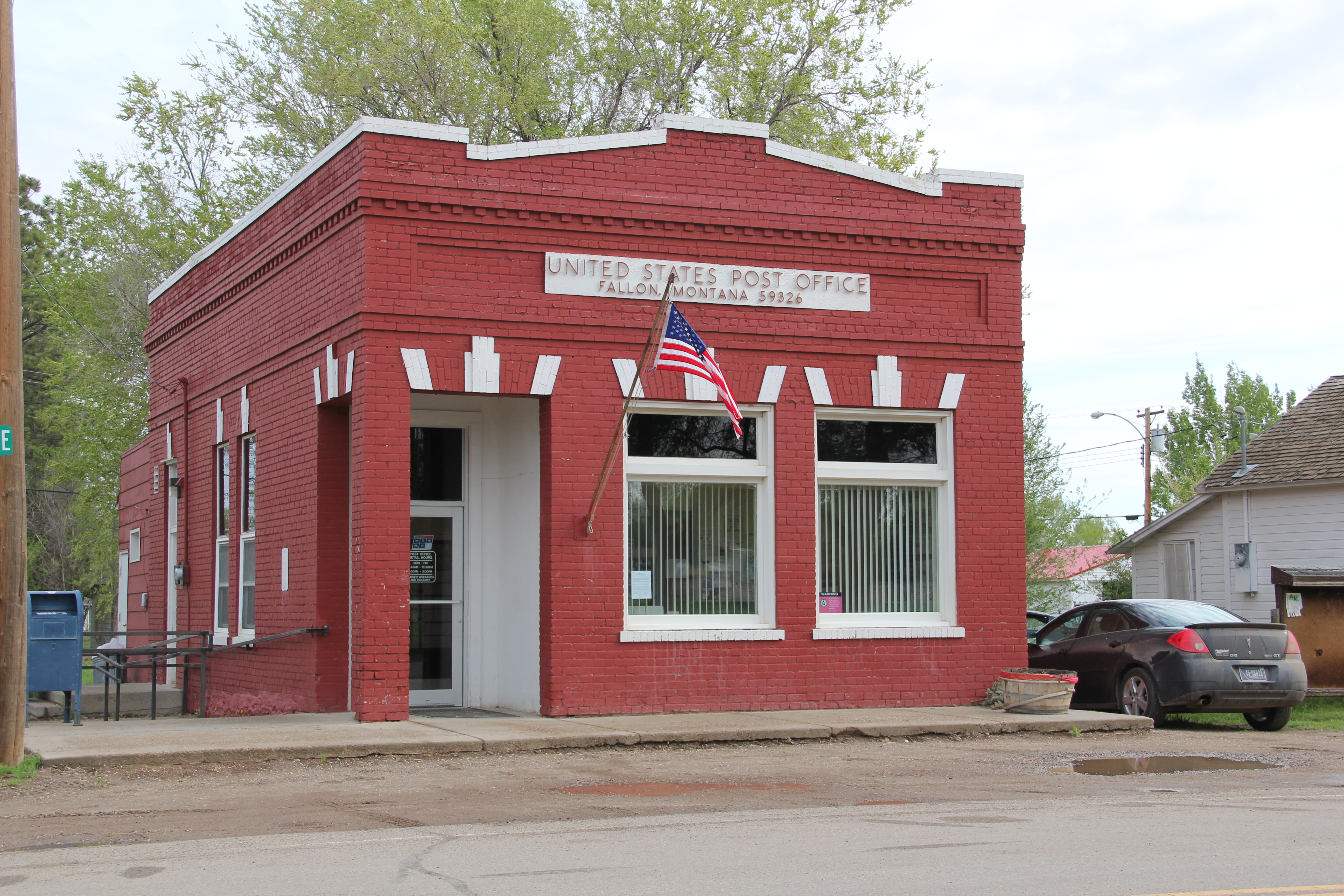
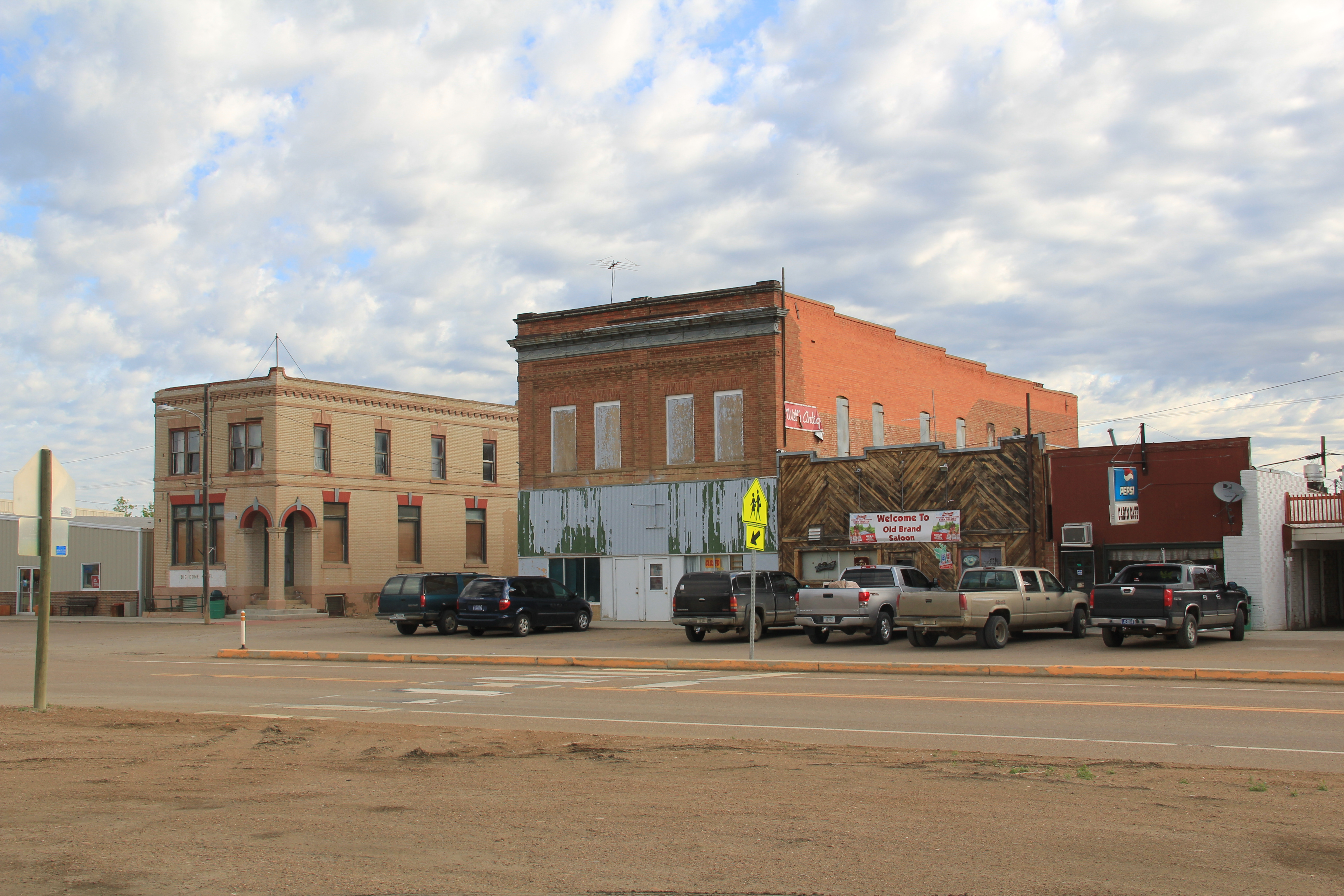
The 1984 Survey 30 Years Later: Toole County

My exploration of Montana’s historic landscape–an experience that has shaped my career and teaching philosophy so deeply–began in earnest 30 years ago this month.  I had been working with the Montana State Historic Preservation Office for several weeks, organizing information already known about the state but also realizing that much was unknown.  That is why the MT SHPO Marcella Sherfy wanted to send someone out of the road–to look, listen, and find what was missing.  In February 1984, the fieldwork began, with the initial focus on the Hi-Line and the first stop, Toole County and the county seat of Shelby.

Image

View of Shelby, looking north, taken from county courthouse, 2013

 The first stop was Shelby, where I also launched my effort to talk about historic places and the preservation planning process with local communities.  We met at the local library/museum which stood next to the courthouse.

Image

Toole County Library, Shelby, MT

I learned two things that February 1984 night in Shelby that shaped my work for the next 3 months:  do the community meetings first–Montanans were intensely engaged with their history and made information and primary sources to share.  Just as important, I learned of their pride in the county courthouse–an architectural statement of Art Deco modernism in the guise of local materials and stone that might not be “technically eligible” for the National Register (at that time it was not yet 50 years old) but that everyone considered the landmark of the city.

Image


Image Image


This 1934 building, one of the many Federal Emergency Relief Administration projects that shaped small towns and agricultural landscapes across the state during the Great Depression, looms high over the time, with the overall setting enhanced by the period landscaping and stone veneer steps from the parking area to the front door.

Image


The new courthouse gave the town a new focus, away from the railroad corridor created by the Great Northern Railway, and then the flashy commercial strip of stores and taverns along the adjacent highway corridor of U.S. Highway 2, a route also improved during the New Deal years.

 Image

Image


Image


In Shelby, at the first of the 1984 work, I learned of the imprint of the successive waves of the railroad, then highways, and then the New Deal on Montana’s Hi-Line towns.  Those patterns of development would be constants throughout the fieldwork.  But after the stop to Shelby, I was then ready to explore the surrounding rural landscape.  And that will be the next story.


Montana’s historic post offices

Image Fallon, Prairie Co.

In the recently approved federal appropriations bill, Congress made clear its intent that the U.S. Postal Service follow existing federal laws and regulations and protect the nation’s many historic post offices.  A story this week in the Washington Post, sent to me by one of my MTSU colleagues, emphasized the preservation effort in the northeast United States and quoted, Steve Hutkins, a New York University professor who “has been troubled by the increasing number of buildings the USPS has been trying to sell since the agency tried to close his rural outpost in New York’s Hudson Valley.” Hutkins said:  “These are historic landmarks that are very important to the community as a public space,” he said. “They were paid for by taxpayers.”

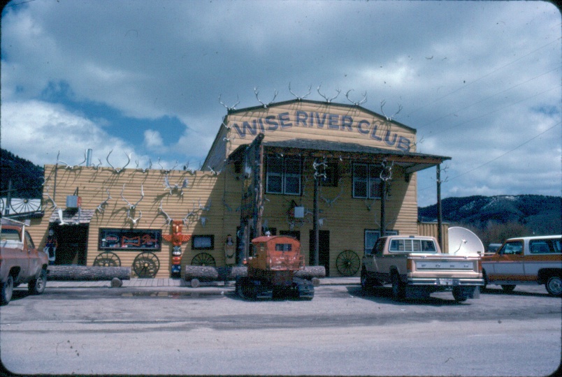
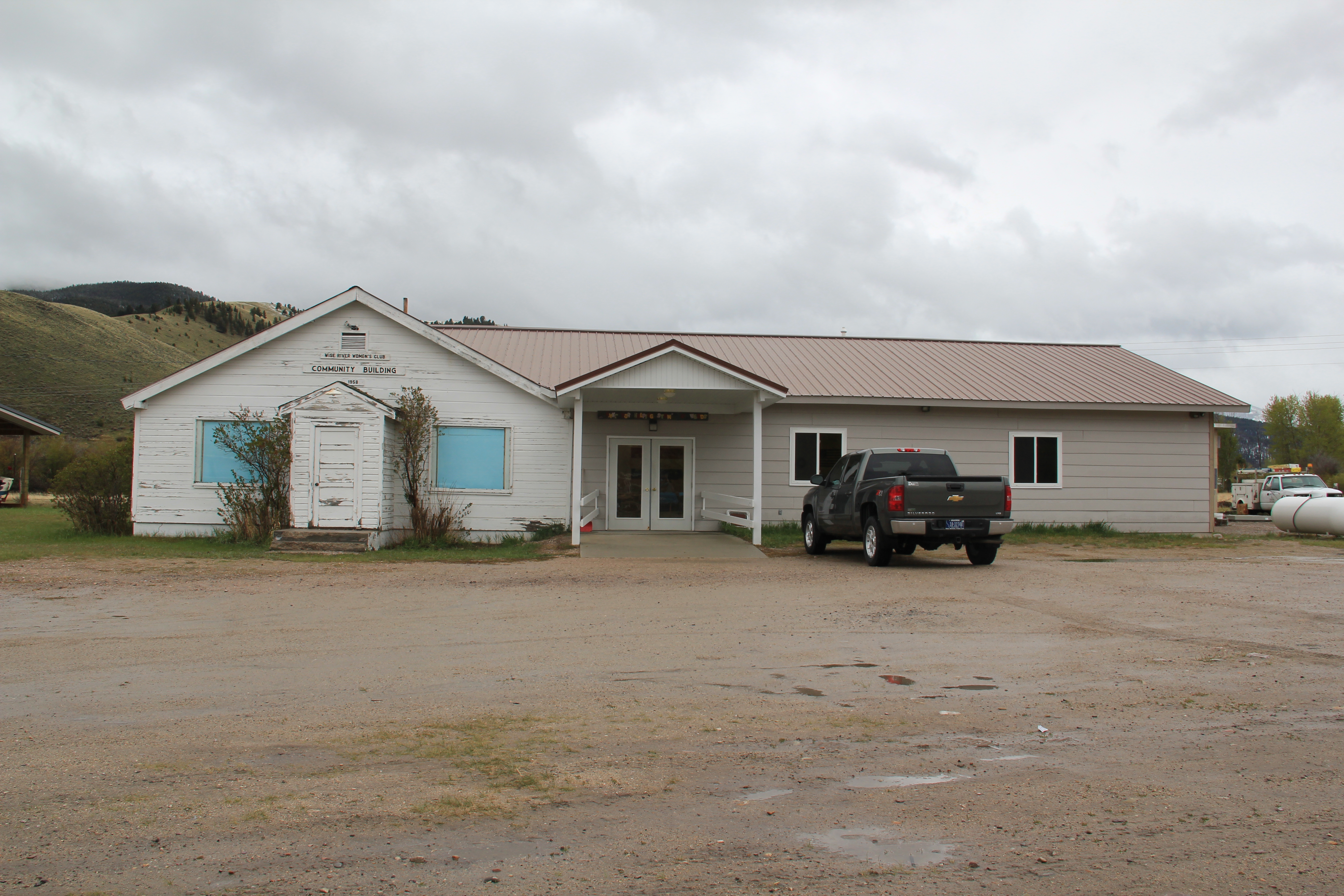
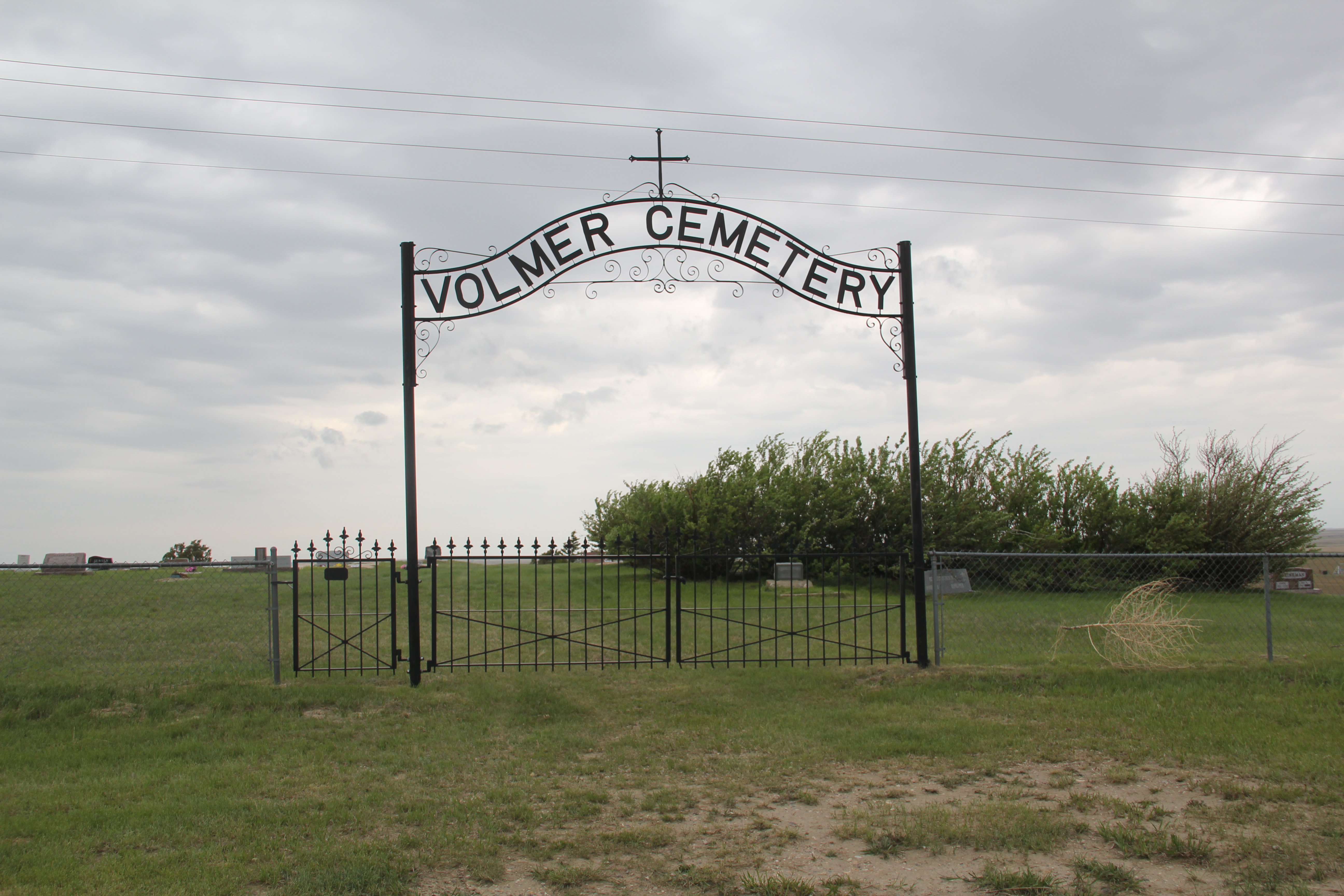
In considering rural Montana’s historic post offices. truer words were never spoken.  The state’s federal elected officials have been steadfast in their opposition to recent moves to close Montana’s rural post offices, a stance shared by local government officials, citizen activists, and preservationists.
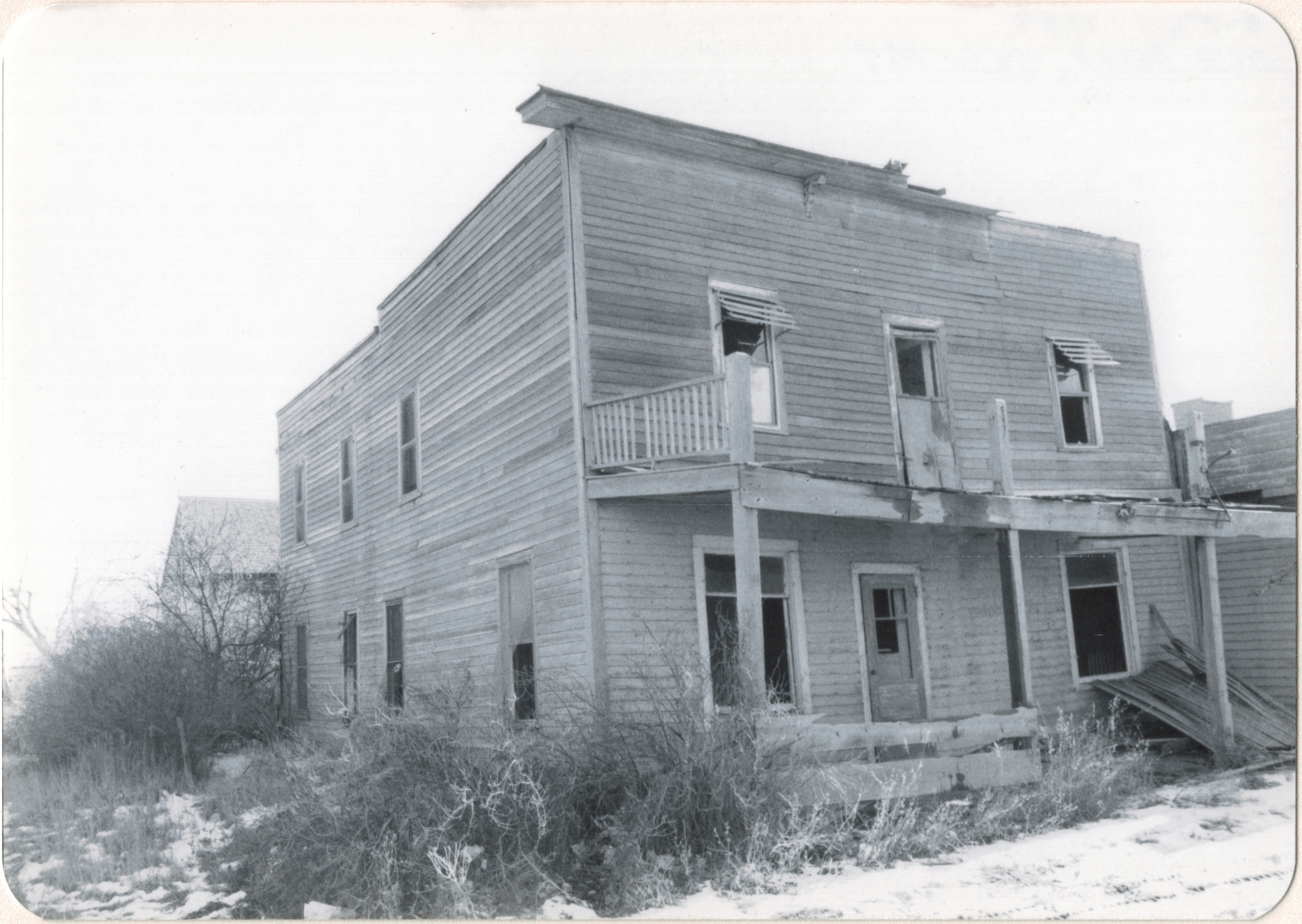
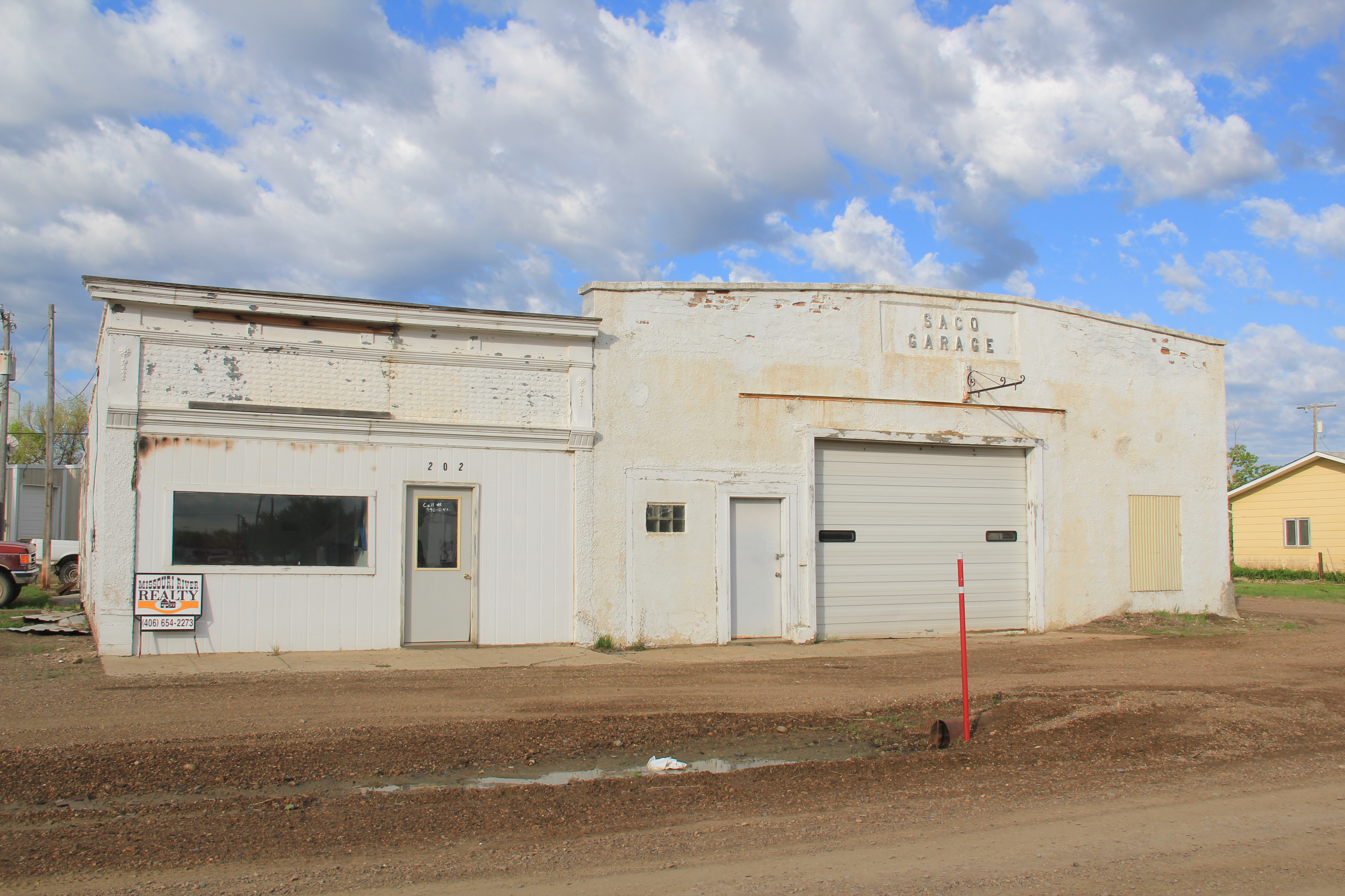
Image Saco, Phillips Co.

Image 
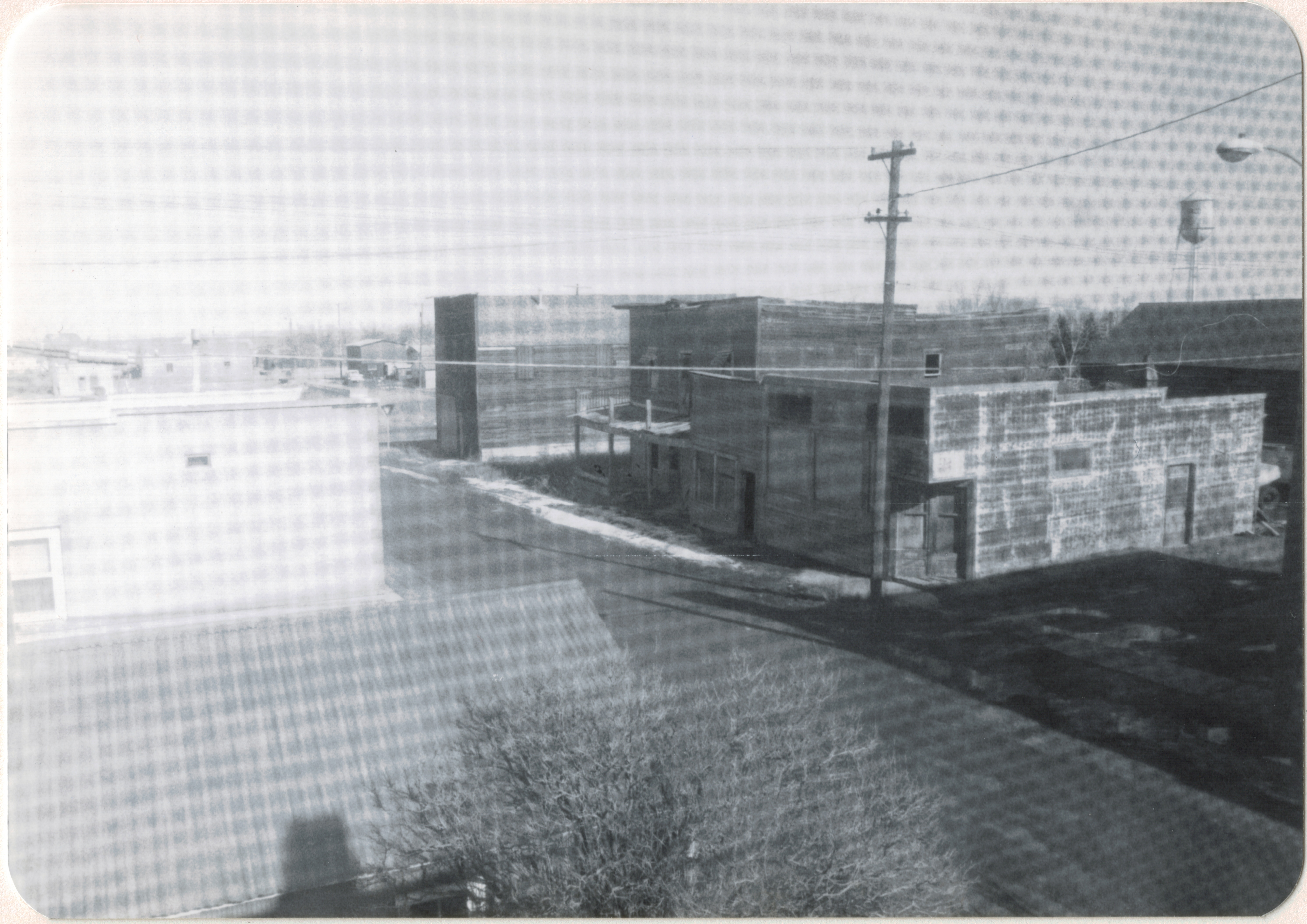
Coffee Creek, Fergus Co.

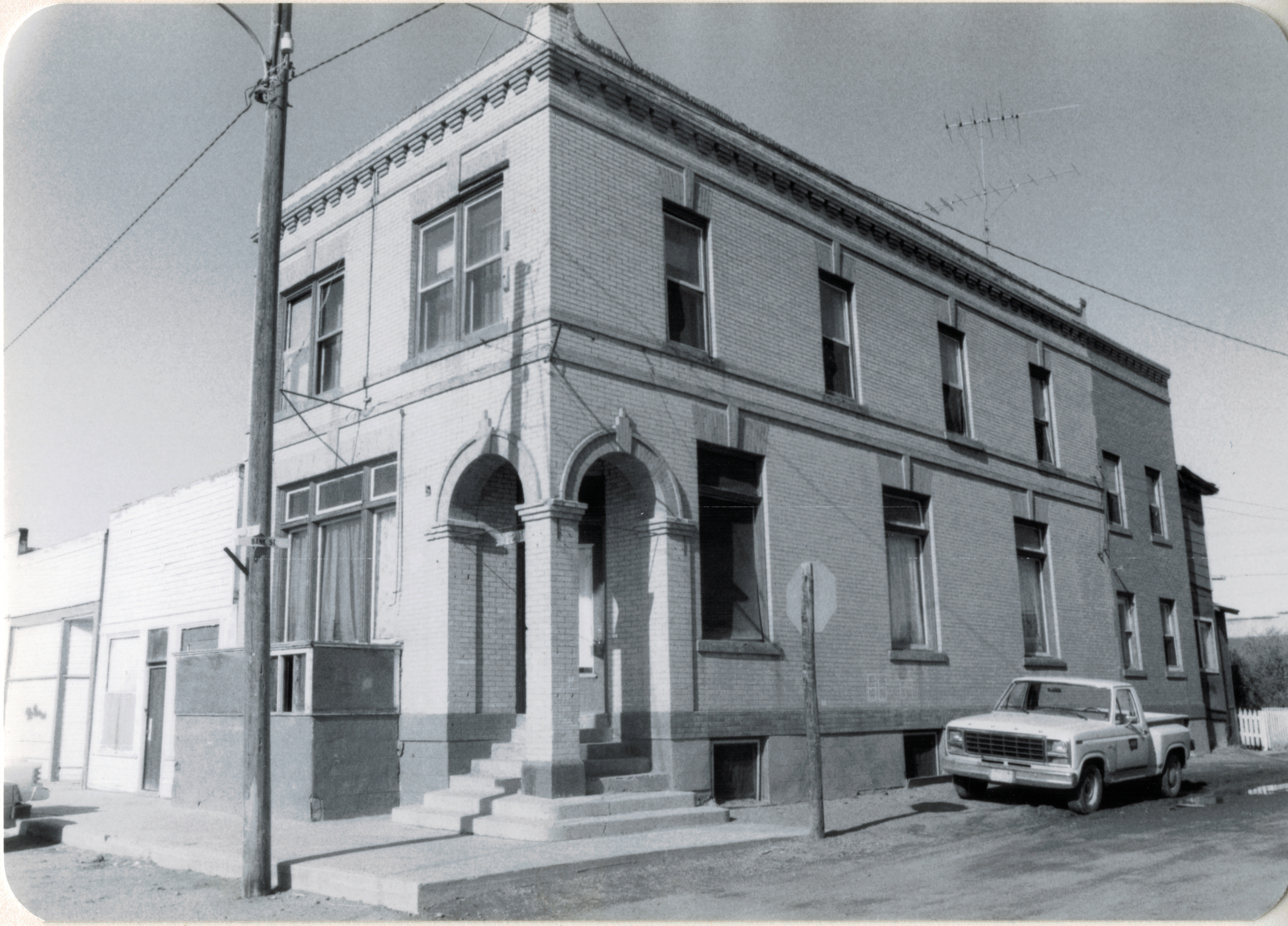
In my preservation plan survey of 1984-1985, I documented hundreds of Montana post offices, and continued doing the same in the last two years.  Why?  in most cases the buildings are the only representations of federal government in these communities, the only physical presence of the benefits of citizenship in the United States.  Here the federal government touches the lives of local residents on a regular basis. The post offices are public spaces that the virtual reality of the internet cannot replicate. When the post office closes, the community declines: witness the image below from Sanders.

Image

Old Sanders post office, note the replacement metal box

Nor are our rural communities strengthened when the solution becomes the metal postal box, even if gussied up with a plexiglass cover.  is this the fate awaiting the rural Montana landscape?

Image

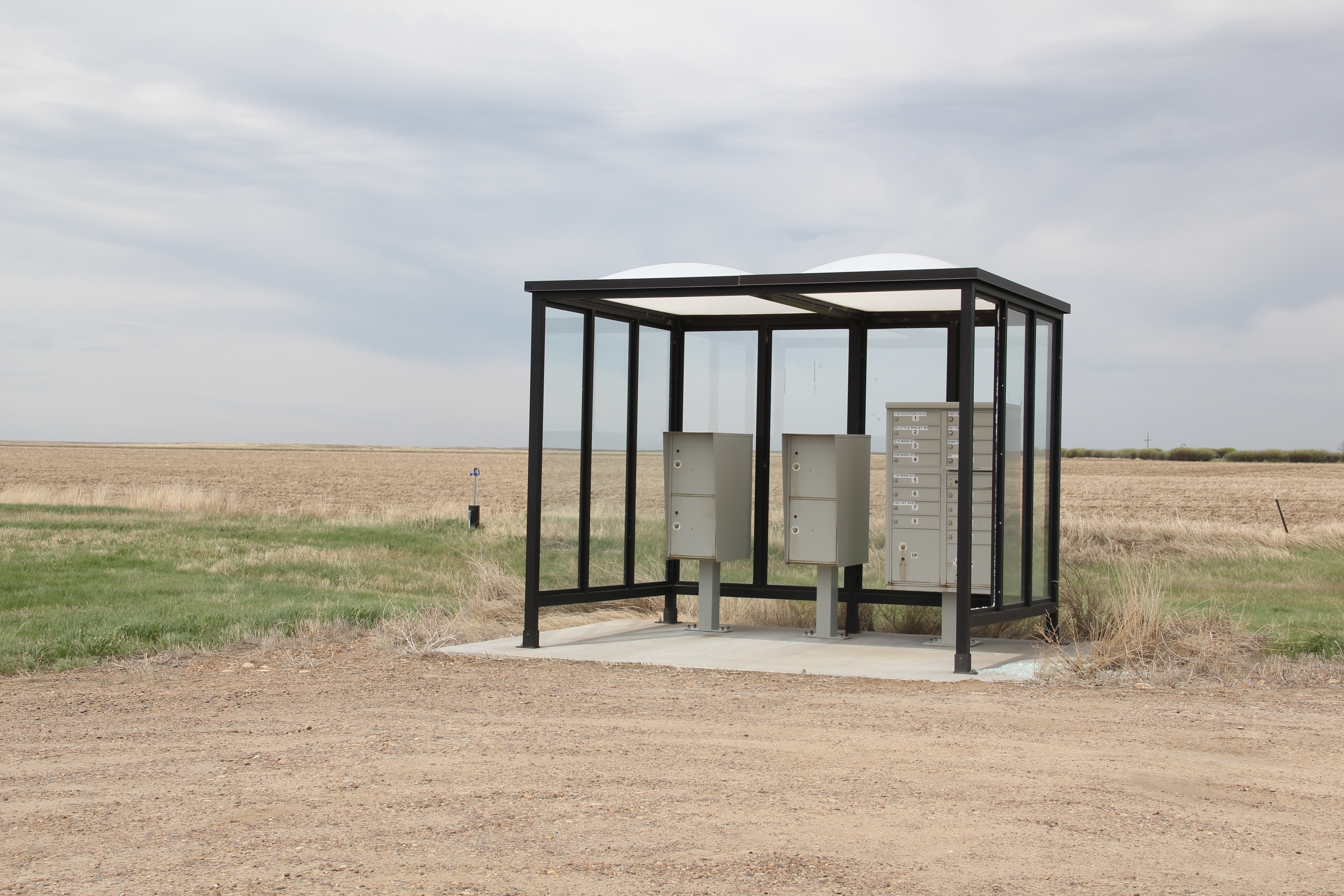
Glentana postal service structure

Women’s Club Buildings in Montana

Montana celebrates the sesquicentennial of Montana Territory in 2014.  This week the Montana Historical Society announced that one of its key themes would be women’s history and then pinpointed key individuals and places, including the East Glacier Women’s Club.  I could not agree more that new attention needs to be given to community institutions, established by and operated for women.  In my 1984-85 work on the Montana historic preservation plan, I did not ignore women’s clubs–the Deer Lodge club house, an attractive Bungalow from 1904 was included in the survey–but I did not systematically look for these buildings and think about what they meant to local women and to the community at large.

Image 

Woman’s Club in Deer Lodge, 1904

The General Federation of Women’s Clubs in Montana organized that same year, 1904, and the federation’s magazine, The Montana Woman, is a great way to trace the creation and expansion of clubs across the state, from the major cities to places as small as Sula in the southwest corner of Montana.  Once you make a commitment to locate extant historic club buildings, you find a range of building types.

Image


The Moore Woman’s Club and Community Center in Fergus County dates to 1915, and so many existing rural club buildings belong to that decade of the homesteading boom of the early 20th century. In 2012 I spent two days is Wisdom, where the old woman’s club building of the 1910s has been converted into a lodge, one of the best examples I have encountered in rural America of finding a new, effective use for a community building.

Image


The Wisdom club house is a small frame building, seemingly too small to be a community building but when placed into the overall context of the emerging built environment of the homesteading landscape, it was a substantial building–compared to the typical homesteading tar-paper shack. 

Image

Women’s organizations also proved adept at adapting older buildings for their use. The Coalwood Ladies Aid Society, established 1915 in Powder River County north of Broadus, meets at the Coalwood School, built c. 1945.  A small rural population does not deter 21st century Montana club women from keeping the institution alive, witness the earlier post on the Wise River Women’s Club, dated to 1958, but with a recent expansion of the club house/community building.

Image

One of my favorite club buildings in eastern Montana is a striking Rustic-styled clubhouse in Malta, Phillips County. Image  Image


The Malta Woman’s Club organized in 1903 but the clubhouse dates to the New Deal era of 1937. Construction of the building was part of a $40,000 Works Progress Administration project in Malta that included the construction of a new city hall, a resettlement administration building, and a “ladies community center.”  (Phillips County News, January 24, 2001). As in other Montana towns, the clubhouse served as a town’s de facto library, using books donated by club members, and the club undertook such community improvement projects as erecting a fence around the Malta cemetery and supporting the town’s first blood mobile.  

There’s more to come in this discussion of women’s club and Montana’s landscape, but this initial post certainly agrees with the MHS announcement that there’s a big, significant women’s history story to be found in the Treasure State–club buildings are a good place to start.


Wise River Club, then and now

Image

 In my 1984 travels in northern Beaverhead County, I found few local dives more evocative than the Wise River Club, which stands along Montana Highway 43 near the confluence of the Big Hole and Wise rivers.  I have used this image in the decades since multiple times to illustrate the vernacular of the Montana roadside.  At the Wise River Club, the food, company, and adult beverages were great then, as they were in the spring of 2012, when I repeated my visit.

Image

 The club was still there, and the food remained excellent but certainly the exterior had evolved over the past thirty years.  A new stone veneer–like something out of the mid-20th century–had replaced the rustic log look of 1984.  A portico was there too.  But what you really missed were the racks, wagon wheels, and totem pole of the earlier exterior.  Until you ventured inside.

Image


The racks had moved into the ceiling, throughout the tavern area.  Quiet when I first arrived and everyone stepped back to accommodate the photo.  Residents could still tolerate visitors at the Wise River Club.

Wise River is a village, and like the club, little had changed there in 30 years.  I did document one building that I had unwisely ignored in 1984:  the Wise River Women’s Club, established in 1958. (Once again the so-called “50 year rule” clouded my vision).  The impact of women on community institutions can be found in any diary or book about rural Montana in the 19th and 20th centuries.  But we do not often look for the buildings that embody in a physical sense that impact.  This unadorned frame building is just one of many across the state that deserve much more than a quick look.

Image 

Image


Backdrops to Montana History: The Irrigation Ditch

Coming to Montana in 1981 from the wet, humid South, I thought little of irrigation as a moving force in history.  To my mind, irrigation was about sprinklers keeping suburban lawns nice and green in the summer.  I cared little for that, and thought no more about it.

Image


Milk River system, Tampico, Valley County

Realizing that irrigation had shaped the history of the United States was another of those primary contributions living and working in Montana brought to my understanding of history.  In the 1984-85 historic preservation survey of the state, I noted a few key systems and thought about their significance.  But in the time since, I came to understand irrigation as one of the key components of an engineered landscape, that literally reshaped the state and made towns, cities, and ranches possible in the early 20th century.

Image


Big Hole Valley

Early Montana settlers, especially the pioneering irrigator I.D. O’Donnell of Billings,  understood by the turn of the century that there would never be enough water to make Montana an agricultural paradise.  Men could not conquer nature–but they could build a machine that could harness it, even replace it.

Image


This irrigation effort in Valier took advantage of the 1894 Carey Act.

So with the financial assistance of the federal government, first with the Carey Act of 1894 and then the vastly more important Newlands Reclamation Act of 1902, the transformation of Montana through irrigation took place in the first third of the 20th century. 

Image


The U.S. Reclamation Service Office at Ballatine, Yellowstone County.  Championed by I.D. O’Donnell, the Huntley project was the second USRS project in the nation.

The engineered landscape represented by irrigation is everywhere in Montana.  I will pick up this theme in later postings but end today with another image that evokes the impact, even beauty, of the man-made streams that crisscross the state.

Image


Madison County, along Montana Highway 249


Hi-Line Roadside

Image


U.S. Highway 2 originally closely followed the tracks of the Great Northern Railway as it crossed Montana’s high plains counties.  Today there are places where the modern highway and the railroad tracks diverge, but still you can travel most of the route from Bainville to Glacier and still discover an astounding array of roadside architecture, from the early 20th century to the more recent past, such as the coffee pot above, on the south side of U.S. 2 in Poplar.  

This week begins the holiday traveling season.  With that in mind, I offer up a range of roadside images from the Hi-Line–places that you may roar by in a hurry to arrive at your destination but places nonetheless worth a stop and visit.

Image Image


Gas stations of course are a constant, and some may be well kept as an artifact of their function–service stations such as this one on the left in Liberty County–or they may be transformed into ice cream parlors like the station on the right from Chinook.

Motels are everywhere too–but the “mom and pop” businesses of the first 2/3 of the twentieth century have been rapidly replaced by the major chains, from Super 8 to the Hilton and Marriott properties of recent vintage.  This classic from just outside of Havre is a throwback to roadside lodging of a generation or two ago.

Image


Of course there are creative types all about the Hi-Line. Buck Samuelson’s collection of roadside sculpture just west of Glasgow not only plugs into that expressive tradition but also in the tourism focus on dinosaurs that you can find throughout eastern Montana.  I actually prefer the roadside 

Image


signs that you find along the highway.  Two from Hinsdale, in Valley County, are favorites. The 

Image


painted sign, courtesy of the Matthew Hansen Endowment, remands everyone of community vitality even though surface appearances may suggest otherwise.  The second sign is among the state’s most popular–painted rocks in white that outline the first letter of the town–positioned so that travelers and residents can view it.

Image


Commercial signs are another constant along the Hi-Line.  Most of course are just like millions across the nation–back-lit plastic signs.  But places like Sam’s Supper Club in Glasgow

Image


and the line of bar signs in the middle of Shelby remind us that once travelers were enticed to stop and jump into another world of flash and class behind the neon signs of U.S. 2.

Image


The roadside of U.S. is nothing if not varied, and I can spin many more words and images about the compelling and the mundane along the roadside.  We do keep up with the trends, and try out best to merge the roadside with current events, as this coffee stand in Culbertson proves.

Image


But I will close with this image from Dodson as a reminder that the roadside can be fleeting, and a place that I enjoyed in 1984 is falling apart today as everyone gravitates to the standardized chain-experiences that define our time.

Image


Martinsdale’s Milwaukee Road Depot

Martinsdale is a tiny town in Meagher County, just off U.S. Highway 12.  Many travelers have stopped by the historic Bair Family Ranch, the former private estate of stockman Charles Bair and his daughters, which is now a historic site and museum.

Image

But 30 years ago, the building that most captured my attention in Martinsdale was the recently abandoned combination passenger station and freight depot of the Chicago, Milwaukee, St. Paul, and Pacific Railroad, better known as the Milwaukee Road.

Image

Why did such a nondescript building interest me? Built in the first decade of the 20th century, the depot represented the increasing standardization of design across what was once a vernacular landscape.  The company constructed a full set of this combination stations across the state, but by 1984 only a handful remained.  At Martinsdale not only was the building there; it was in good shape, and even had its privy–also a standardized design–standing just east of the depot.Then there was the matter of where the depot stood.

IMG_9678


It was at the head of town–a most privileged position indeed–and that placement reflected the significance of the Milwaukee Road to the town and region.  It also reflected the Milwaukee’s decided preference for “T-town” plans, where the tracks formed the top of the T and the town’s commercial district flowed down both sides of the stem of the “T.”

IMG_9674


The building is no longer in good shape, with part of the roof decking missing just being the most obvious issue.  Thirty years ago, the assessment of this depot was a centerpiece of my “Resource Protection Planning Process” document for the State Historic Preservation Office at the Montana Historical Society.  The depot spoke to so many of the trends of that plan–design, history, settlement patterns, community planning. Now you wonder if the building will survive another year.

The Dagmar Colony in Sheridan County

A little over 100 years ago, a group of Danish Americans, encouraged by success on the prairies of Minnesota, lured by the promise of cheap, effective railroad transportation, and wanting to establish a new community of Evangelical Lutheran believers, came to the northeastern corner of Montana and established a colony, named Dagmar, in honor of the Queen Dagmar of Denmark.

Image

One of the colony’s leaders, Emil F. Madsen, proclaimed of the new land:  we encountered “the most glorious sight.  Below us lay a large lake [Medicine Lake] whose mirror-clear arms reached in over the prairie.  North of the lake spread a level plain, gold painted by the sun.”  While the colonists never established large towns, they did successfully farm the land and established a community that survives into the 21st century.

One of the best ways to explore the settlement landscape created by the colonists is to visit their churches.  Volmer Lutheran Church stands on a rise that overlooks the county, pointing toward Medicine Lake.

Image

Image


Image  Image


Another significant colony site is Nathanael Lutheran Church and Cemetery, where there is an early memorial marker.

Image  Image


The church is an impressive Gothic design, with its tall tower and steeple serving as landmark visible for miles across the prairie.

Image


The vastness of the Montana’s northeastern prairies served as a refuge for different sacred and secular groups in the early 20th century.  What may seem as isolated and foreboding today was a land of promise one hundred years ago, and the churches and scattered farms and ranches still mark the commitment of the Dagmar colonists to the land they made home.

Saco and Montana’s Hi-Line 30 years ago and today

Saco, a small Great Northern Railway town on Montana’s Hi-Line in Phillips County, is a good place for comparison photography from the historic preservation planning work of 1984 to my return trip in 2013.  

Image

As I worked across the state in the winter and spring of 1984, my schedule and route was mostly self-driven: choices on how much I wanted to see and in what depth were left to me.  But the State Historic Preservation Office wanted me to take a particular close look at Saco because  several citizens and property owners were turning to historic preservation and no one at the office in Helena really knew what the town looked like.

Image


Image

Saco at first glance was similar to many other Hi-Line railroad towns that were not county seats.  It had a T-town plan, that is the primary commercial artery faced the tracks (that was the route of US 2) while a secondary commercial street radiated like the stem of a T from the center of the town.  Saco then still had a Great Northern depot, one of the standardized small designs from the 1950s.  Across from the depot on the highway was the Clack Service Station, where I bought gas that morning.  The service station was later listed in the National Register as part of the effort to identify key roadside architecture along US 2: the station now serves as a visitor center.

Image


But in 1984 no one in Saco talked about roadside architecture.  The focus was on an early 20th century two-story bank building.  Many Montana railroad towns have similar buildings–really landmarks of capital, then and now.  They spoke to the promise of the town–and were always located on the prominent corner (here the point of the T) facing the tracks.  No one who passed through Saco and bothered to take a look would doubt that local residents believed in the community because there was the architecturally impressive bank building, commanding respect on the plains landscape by its mere presence. 

Image


Saco was different than other communities because the opposite corner from the bank was also occupied by an architecturally notable two-story commercial block, and today both of those buildings remain as physical anchors of the town’s early 20th century history.

Image


However, the commercial buildings that once lined the stem of the T are missing.  Here is a view from a window in the second floor of the bank building that show some of the buildings.

Image 

One old hotel was barely hanging on in 1984 as these two photos show. and residents wanted to keep it, but now those are gone and the block behind the bank and the commercial block have been wiped clean.

Image


Image

Image


Other one-story buildings on the highway have also been demolished to make way for new prefab structures, but on the streets behind US 2 a good bit of historic Saco remains, from lodge buildings to garages.

Image

Image

Saco in 1984 even had a historic attraction–the one-room school that Chet Huntley attended when he grew up in this part of Phillips County in the early 20th century.  In 1984 the Huntley school was worthy of a stop–because of the fame of Chet Huntley, who also wrote well of the place in his memoirs.  But now few stop to look, I was told–because no one recalls who Chet Huntley was.  He was a legendary newsman of his time, and his NBC program once ruled the airwaves.  Then CBS named Walter Cronkite as its evening news anchor.  He is the name people still speak of in the 21st century.  Chet Huntley has been forgotten. 

Image


My last stop in Saco in 1984 brings this brief narrative to a happy ending.  One resident wanted to show off his home–an attractive bungalow.  We explored the place and looked over the blueprints–from Sears Roebuck–that his family used to build the place in the second decade of the 20th century.  100 years later, the house remains, as attractive as ever. 

Image


Image

Families remain devoted to Saco, and while its time as a commercial stop is diminished from the early 20th century it remains a community adding new layers of history to this place on the Hi-Line.

Image


Montana’s Civil War Veterans: Dillon’s Mountain View Cemetery

As a series of feature articles in the Great Falls Tribune have emphasized for the past 3 years, Montana does have a Civil War story, just one that has been forgotten, even neglected over the decades.  To be sure like most people exploring the Montana landscape, I too had trouble seeing those elements–outside of General Thomas Meagher’s commanding statue in front of the State Capitol in Helena.  But as I have been back in the Big Sky Country the last three years, I have found many places that help tell the state’s story in the years that transformed the United States into the country we know today.  It is more than the the Civil War Sesquicentennial that drove my greater attention–in Tennessee I am the co-chair of the state’s Civil War Sesquicentennial Commission, and here in the Volunteer State it is often all about the Civil War.

To mark Montana’s Civil War landscape, and to honor the many veterans who have served their communities, their state, and their country in this week before Veteran’s Day, I want to draw your attention to a truly exceptional place–the Mountain View Cemetery in Dillon, Montana.

Image

The cemetery contains a wealth of grave markers and statuary from the late 19th and into the 20th centuries.  The view from the cemetery is truly inspiring as well–it is among the best maintained community cemeteries in western Montana.

Image

IMG_3635IMG_3636

What is most striking about Mountain View Cemetery is its attention to veterans and the number of former Union soldiers buried within the cemetery.  The standardized U.S. Army shield grave marker, with the soldier’s name and his unit listed, is found in abundance at Mountain View throughout the older parts of the cemetery.

IMG_3633

Here is just a sampling of the Civil War veterans memorialized at the cemetery:

IMG_3657    IMG_3655

IMG_3652  IMG_3656


The most remarkable tribute to the veterans at Mountain View Cemetery comes from the mid-20th century:  a somber tree-lined path to veterans from more recent wars, heralded by a statue calling for freedom, honor, and justice, values that drove those federal soldiers in the Civil War and values that our veterans today take into fields of conflict across the

IMG_3625 IMG_3626

the world.  Thank you all veterans for your service to our nation.