Modernism in Northeast Montana

Repeat visitors to this blog about historic places in Montana quickly see that the focus is very much on the era of 1860 to 1960. But I have taken time to also record the modern past. This brief detour into northeast Montana (Roosevelt, Sheridan and Daniels counties) shares commercial, public, and religious buildings from the late 20th and early 21st century.

The Montana State Bank (now in 2024 the Bank of Plentywood) in Plentywood has its business roots in earlier bank in the railroad town of Reserve. Its echoing of classical columns in a modern setting makes it my favorite modern style bank in the region.

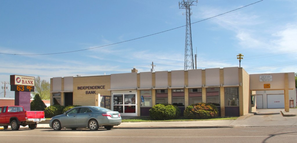
Not far behind is the Independence Bank in Scobey, built in 1972. After the First Security bank of Havre acquired the bank in 1998 it changed the name to Independence in 2000.

The store is now closed.
The store front has changed since this image from 2013

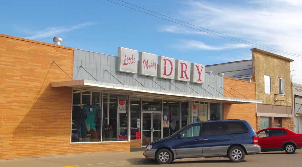
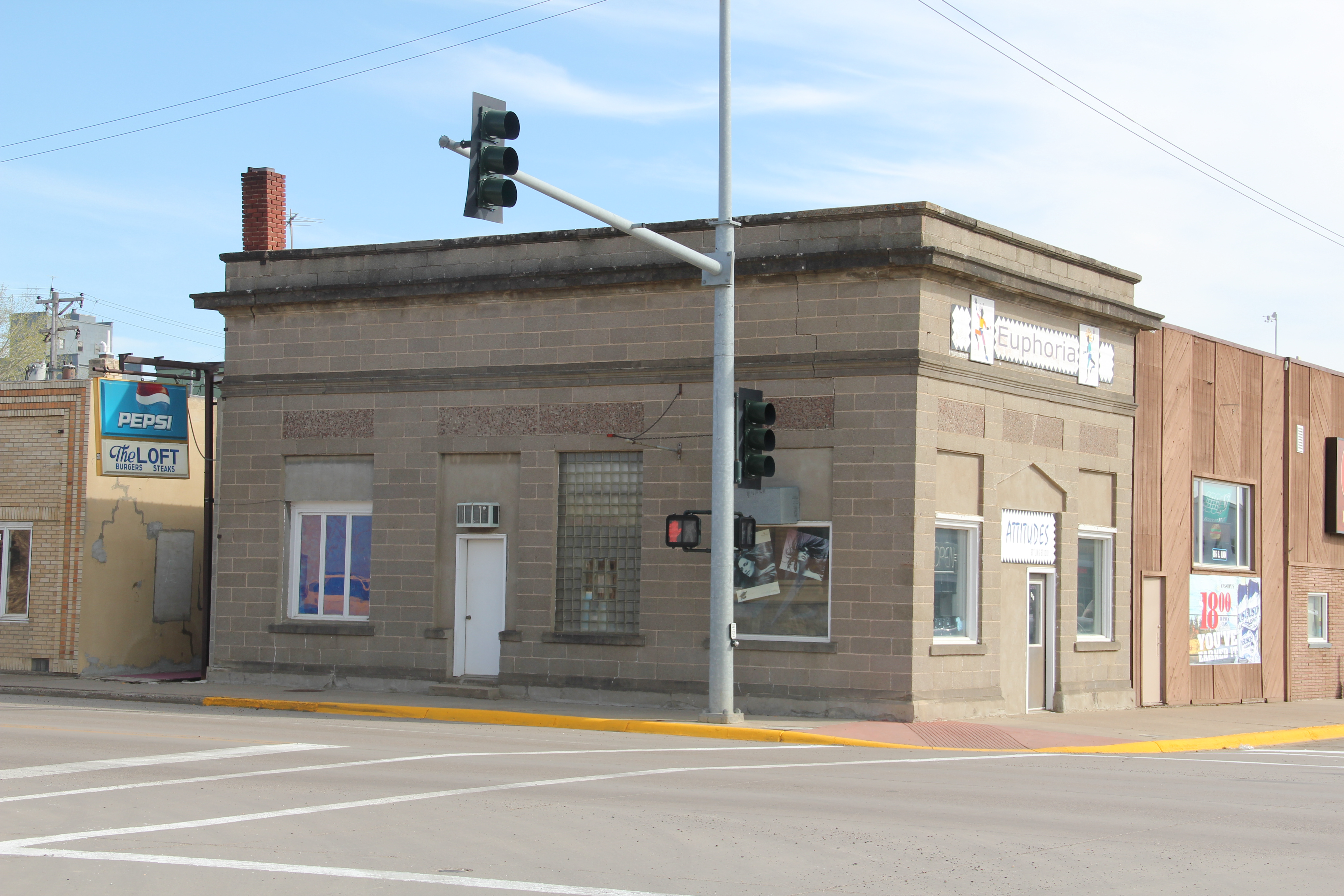
Colorful metal sheathing over old storefronts helped owners update their businesses from the 1960s into the 1980s, enabling downtown locations seem more like shopping centers. The top example is from Plentywood while the bottom, Bryan’s, is from Wolf Point.

The Perkulator coffee shop is still going strong on U.S. Highway 2 in Poplar. Highly recommended!

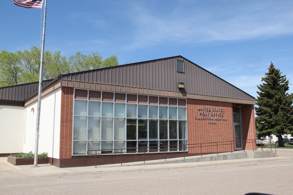
The design of U.S. post offices moved away from the preference for Colonial Revival styles in the first half of the 20th century and embraced a modern look as shown in Culbertson (top) and Scobey (bottom).

The Roosevelt County office building in Culbertson continued with modem styling into the 21st century.
Staying in Roosevelt County new schools for Culbertson and Bainville in the early 21st century also shared contemporary styling.
Bainville school

Fort Peck Community College in Poplar has significantly expanded its campus after achieving accreditation in 1991 and the gaining land-grant status in 1994.

Lutheran churches in Plentywood and Wolf Point are also modern landmarks. Plentywood Lutheran ELCA dates to c. 1957-1960 while the Trinity Lutheran Church is a late 19th century congregation that worships in a 1960s building.

Plentywood Lutheran
Plentywood Lutheran ELCA
Trinity Lutheran in Plentywood

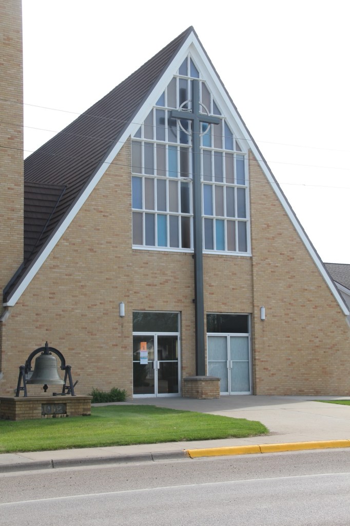
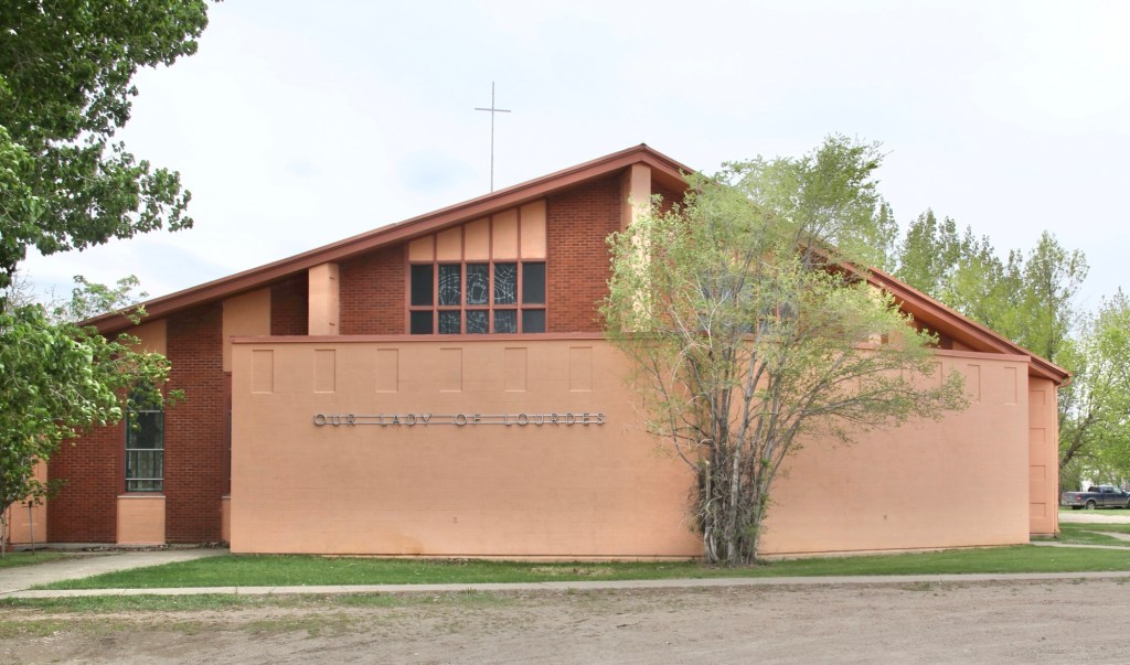
Our Lady of Lourdes Catholic Church, a 19th century congregation, in Wolf point ends our regional tour of Montana modernism. the building reflects the diocesan decision to build contemporary style churches in towns large and small through eastern Montana in the 1950s and 1960s.

Sheridan County: a forgotten railroad landscape

IMG_7450
In the past posts I revisited the two Daniels County towns at the “end of the line” of a spur line constructed by the Great Northern Railway in the early 1910s as a way of countering the push into northeastern Montana by the Soo Line at the same time. These attempts at railroad expansion and town building took root during the homesteading boom of that decade. Now with depots gone and residents drifting away, the old railroad corridor as it stretches from Opheim on the west end to its junction with the main line at Bainville, takes on the appearance of a ghost line, attested by the image above from Homestead and the one below from Reserve,both in Sheridan County.
IMG_7473
At the rough mid-point of this spur line lies Plentywood–rather forsaken spot I thought in 1984 but a town now actually facing too much growth, too fast as the need for residences and space for the thousands of Bakken oil field workers seeps into northeast Montana. In 2013, the impact on Plentywood and Medicine Lake to the south was apparent as this just opened man camp at Medicine Lake shows.
IMG_7458
Plentywood was of considerable interest to me because once the initial homestead boom turned to disaster in Sheridan County by the time of the Great Depression, there was a local movement to create a communist party. This story was known in 1984 but now we have full accounting due to the research of Sheridan County native Verlaine Stoner McDonald in her book The Red Corner (2010).
IMG_7492
IMG_7491
Plentywood has a classic T-plan town, with its depot and huge grain elevators defining what was the head of the town–and then a long “stem” of the T, where first came the commercial district, then a residential district, and finally at the “bottom” of the T: the county courthouse.

Plentywood's T-town plan, looking from the courthouse

Plentywood’s T-town plan, looking from the courthouse


This arrangement of space spoke to the railroad’s concern for safety and efficiency: T-plans moved traffic and pedestrians off of the tracks. But when the Works Progress Administration built the understated WPA Modern-styled courthouse in 1937, placing it at the end of the town, you also had a classic statement of where power lay in these plains country towns. The railroad stood at the head; at the end of the town was the seat for local politics.
IMG_7497
In 1984 another interesting arrangement of space I noted in Plentywood was how three different banks stood on three of the four corners of the town’s most prominent crossroads, where Montana Highway 16 crossed the main street. The banks are still there with the stone-work of the historic Adolph Riba bank (built by Henry and John Hill from the village of Raymond to the north), making it a prominent landmark.
IMG_7509
The impact of the regional oil boom on the public landscape is most evident in new schools and the new library, attached to the historic courthouse, changes I didn’t expect to find in a town that had lost 700 residents from the 2400 or so who lived there in 1984.
IMG_7500
I was especially pleased to see the town’s historic movie theater, the Orpheum, which stands adjacent to the “top” of the T, still doing well. It was rare to find a small town movie theater in 1984, even less common today. Plentywood today is more than the historic center point of a neglected railroad corridor; it lies in the center of the changes coming to the region out of the 21st century oil boom of the northern plains.
IMG_1680
IMG_7520