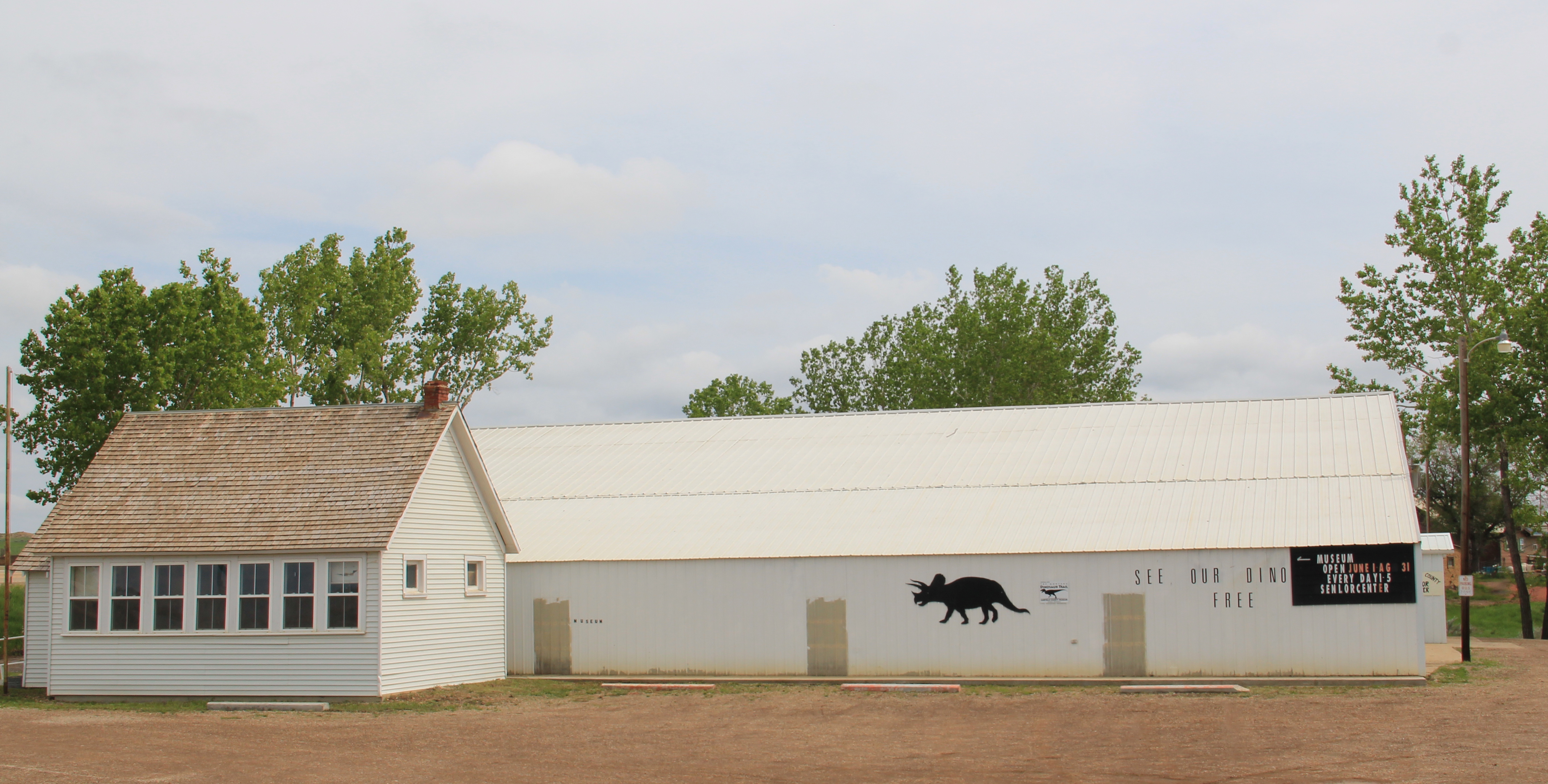
Standard histories tell you that Cut Bank, the seat of Glacier County, dates to 1891. But significant numbers of permanent settlers did not arrive until the first years of the 20th century, following a major investment by the Great Northern Railroad to build a huge steel bridge and railroad offices, shops, and a roundhouse. The Fort Benton River Press on February 12, 1901, reported that “Cut Bank is rapidly assuming a metropolitan appearance.”
The initial railroad boom soon slowed until the homesteader movement brought new growth. In 1911 town officials agreed to discuss the creation of a permanent town cemetery with state officials. Between 1911 and 1914 citizens formed the Crown Hill Cemetery Association and the first documented burials in the local newspaper took place in 1914.

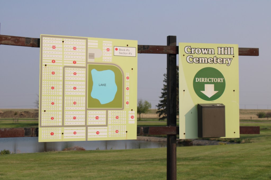
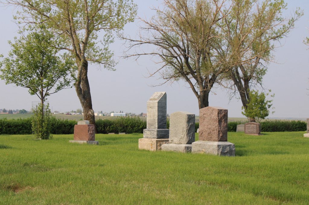
Located north of town the cemetery is on a slight rise and has an impressive view of Cut Bank to the South. A small lake is the focus of the cemetery plan.


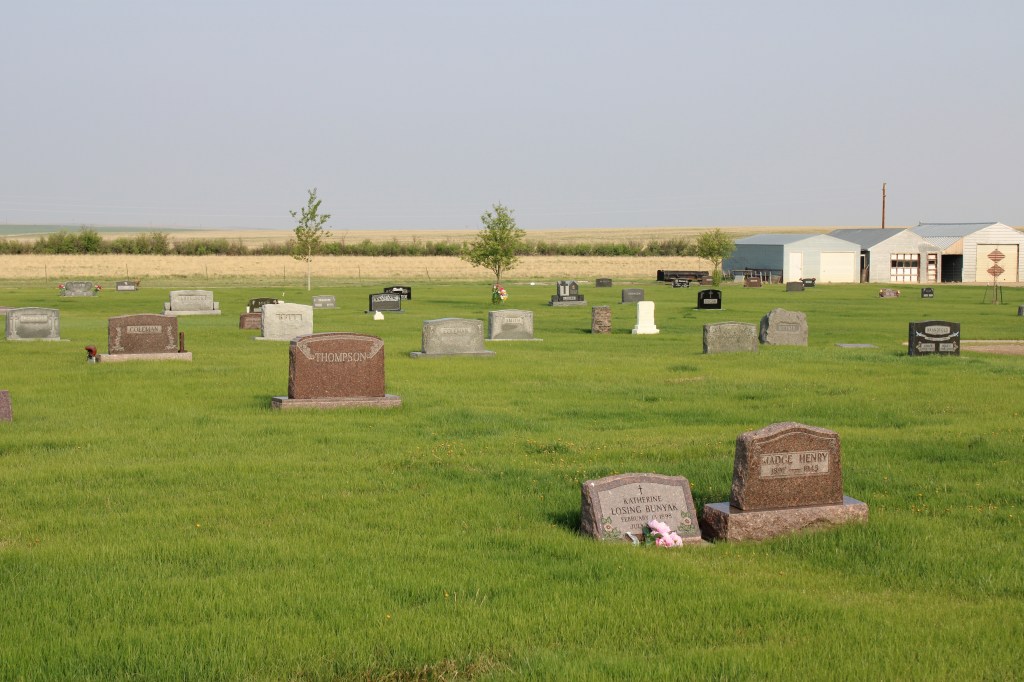
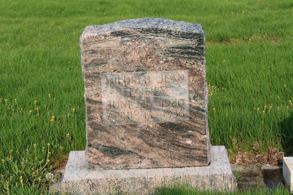
Otherwise the cemetery contains long rows in a rectangular manner and there are few huge grave markers, instead many dignified and subtly designed markers cover the grounds.

There are several interesting markers and many note a fraternal lodge association.


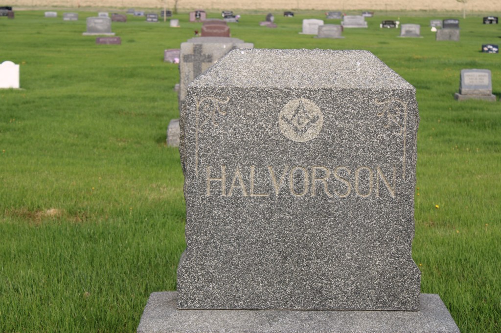
The Halvorson marker dates to be death of Mrs. Harry Halvorson who died in 1924. At that time her funeral was the largest ever held in Cut Bank. The Midland Empire of April 22, 1924 reported that 650 attended the funeral and that 77 cars went from the town Masonic Hall to the cemetery. A member of the Rebekah lodges in both Cut Bank and Shelby, Halvorson’s funeral attracted other lodge members from Shelby, Conrad, Valier and Browning. Her husband was the senior member of the Halvorson mercantile company, which started in 1901.
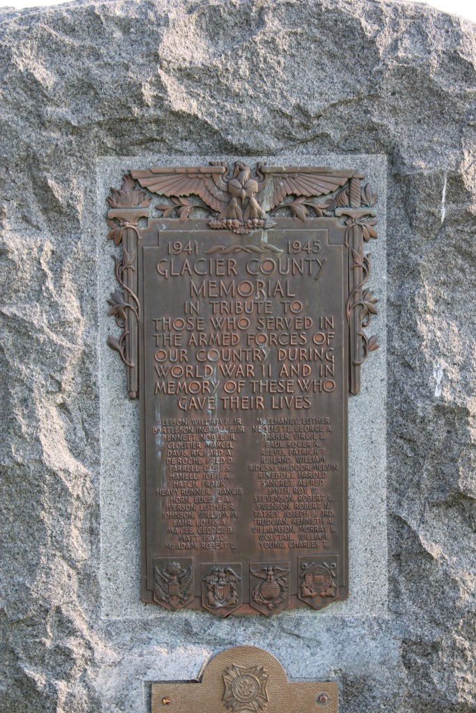
Another important marker is the veterans memorial from World War II. Cut Bank played a significant role as a satellite air field for the Great Falls Army Air Base. In 1942-43 pilots trained here in flying the B-17 Flying Fortresses. In 1948 the army conveyed the base to the town for civilian use.

Perhaps an unattended consequence of the military air base is that winter temperatures at Cut Bank was regularly available to national media, which played up the mage of Cut Bank as the coldest place in the lower 48 states. Cut Bank embraced the image, as this bit of roadside sculpture below attests. It stands at the eastern entrance into town on US Highway 2.

Crown Hill Cemetery is one of the oldest properties in Cut Bank open to the public. The cemetery is well maintained, well manicured and a testament to the respect and dignity local residents give to their past.