Looking at the “Montinental Divide”: Ingomar

Ingomar was another town identified in last week’s Great Falls Tribune article about the “monumental divide”–the vast landscape in central and eastern Montana defined by the drainages of the Missouri and Yellowstone rivers.  Ingomar, in Rosebud County, is a Milwaukee Road town located along U.S. Highway 12.  If you know nothing about Montana, that sounds like a fairly central location, and that the town, by extension, must have some size to it.  

Image


The opposite is true.  Ingomar is a tiny place, with a handful of residents, but one of the most famous places in eastern Montana due solely to the Jersey Lilly Bar–one of the state’s iconic community centers and watering holes.

Image 

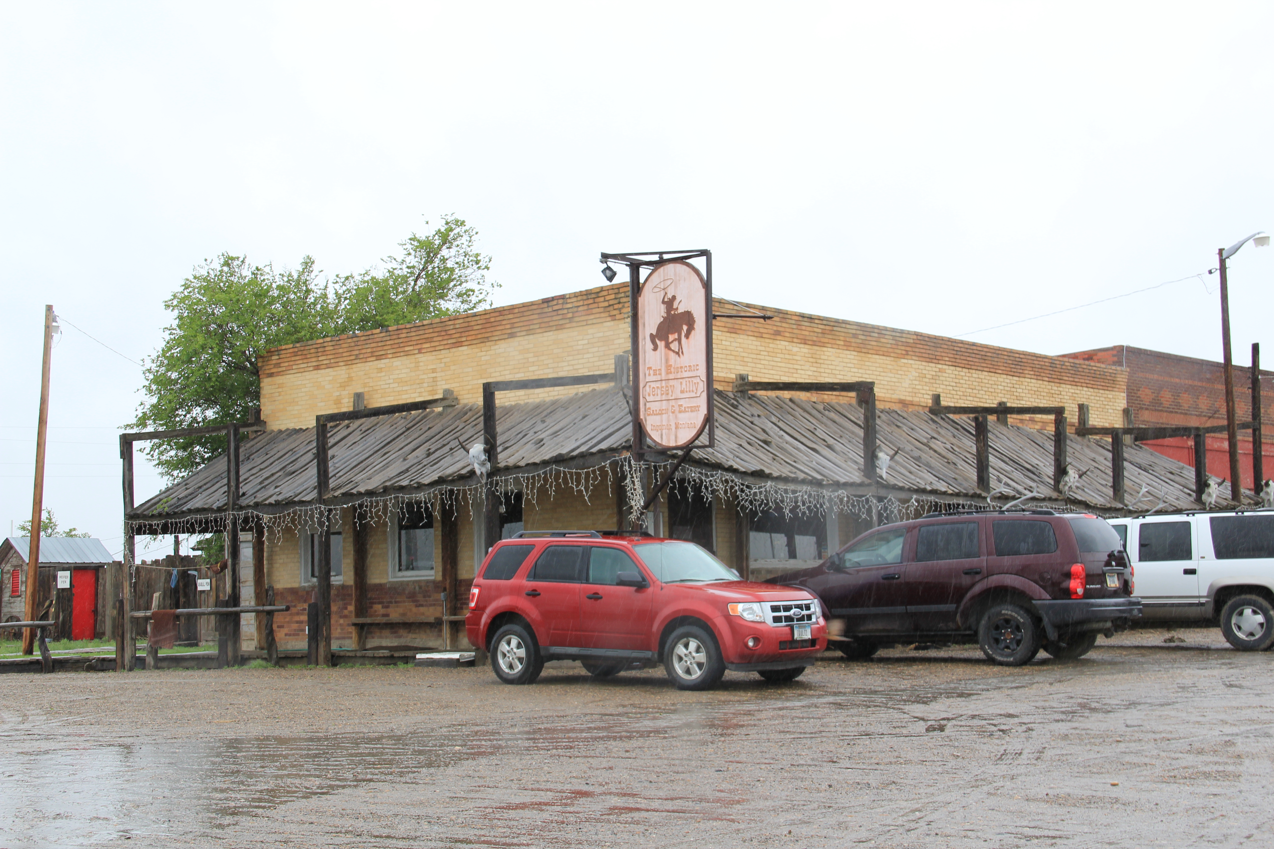
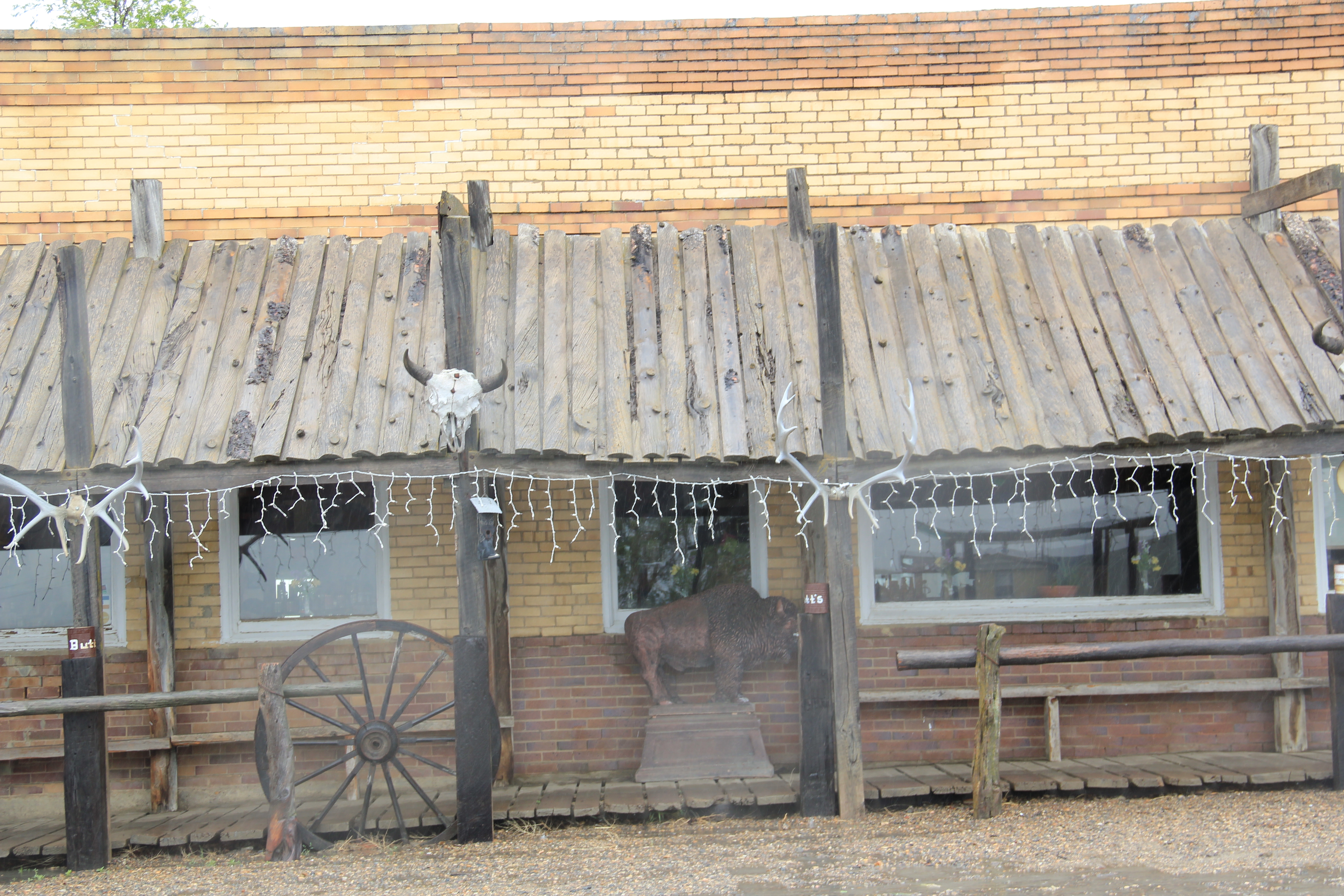
The Jersey Lilly is the town’s former bank, built in the first decades of the 20th century when hopes for this place as a rising town along the Milwaukee Road were at their highest.

Image


But the homesteading bust of the 1920s was especially cruel in this northern part of Rosebud County.  The well-designed brick bank found a second life as a bar, serving locals primarily but also those adventuresome travelers who used US 12 to crisscross the region. I first came here 30 years ago–the ramshackle wood awning and posts existed then, giving the place a Wild West look that seemed out of place then but now with age seems perfectly legit.

Image


Thirty years ago, the local school still served students; it survives but now as a “Bunk n Biscuit” and proclaims itself as the only place to sleep within a 100 miles.

Image


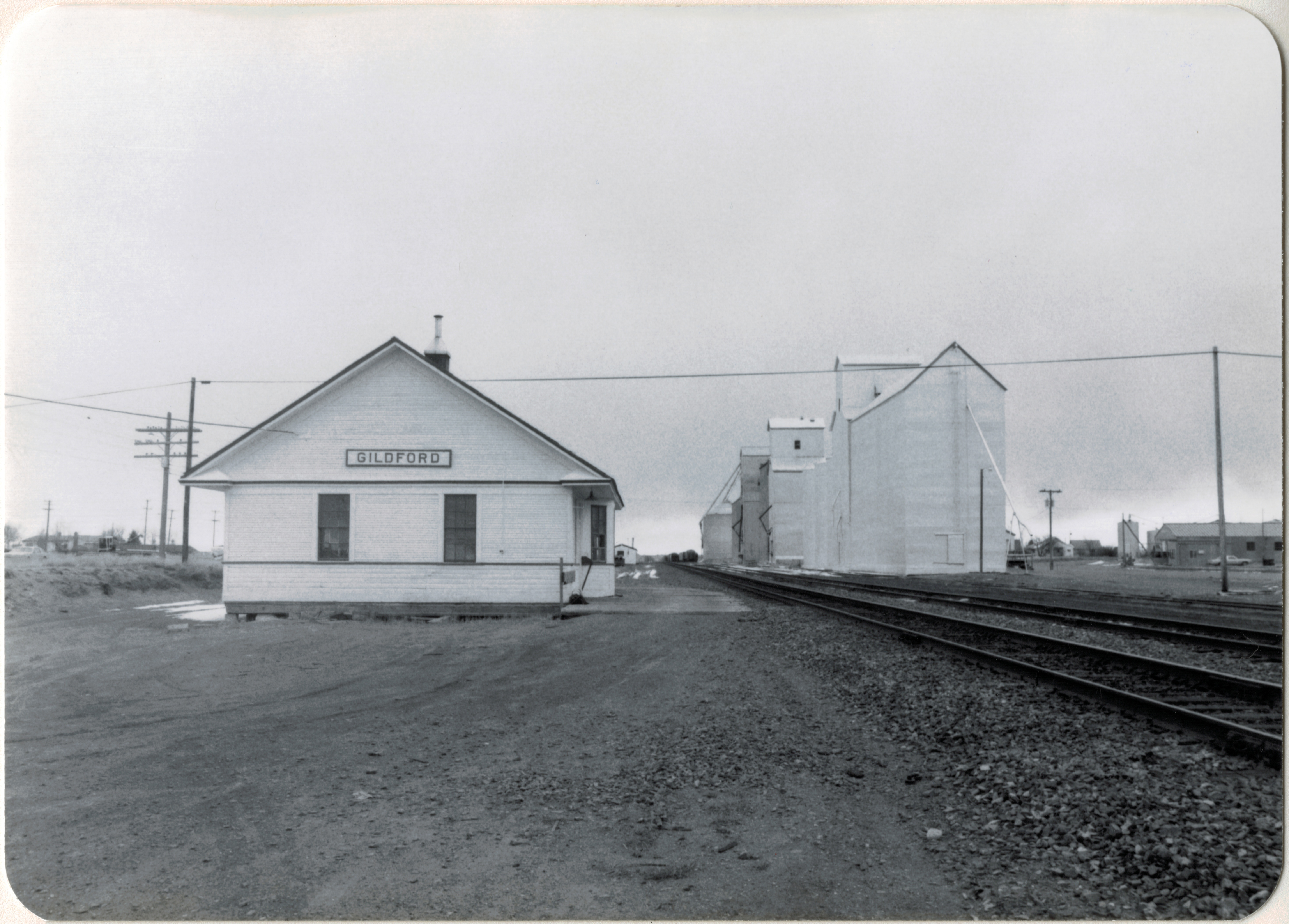
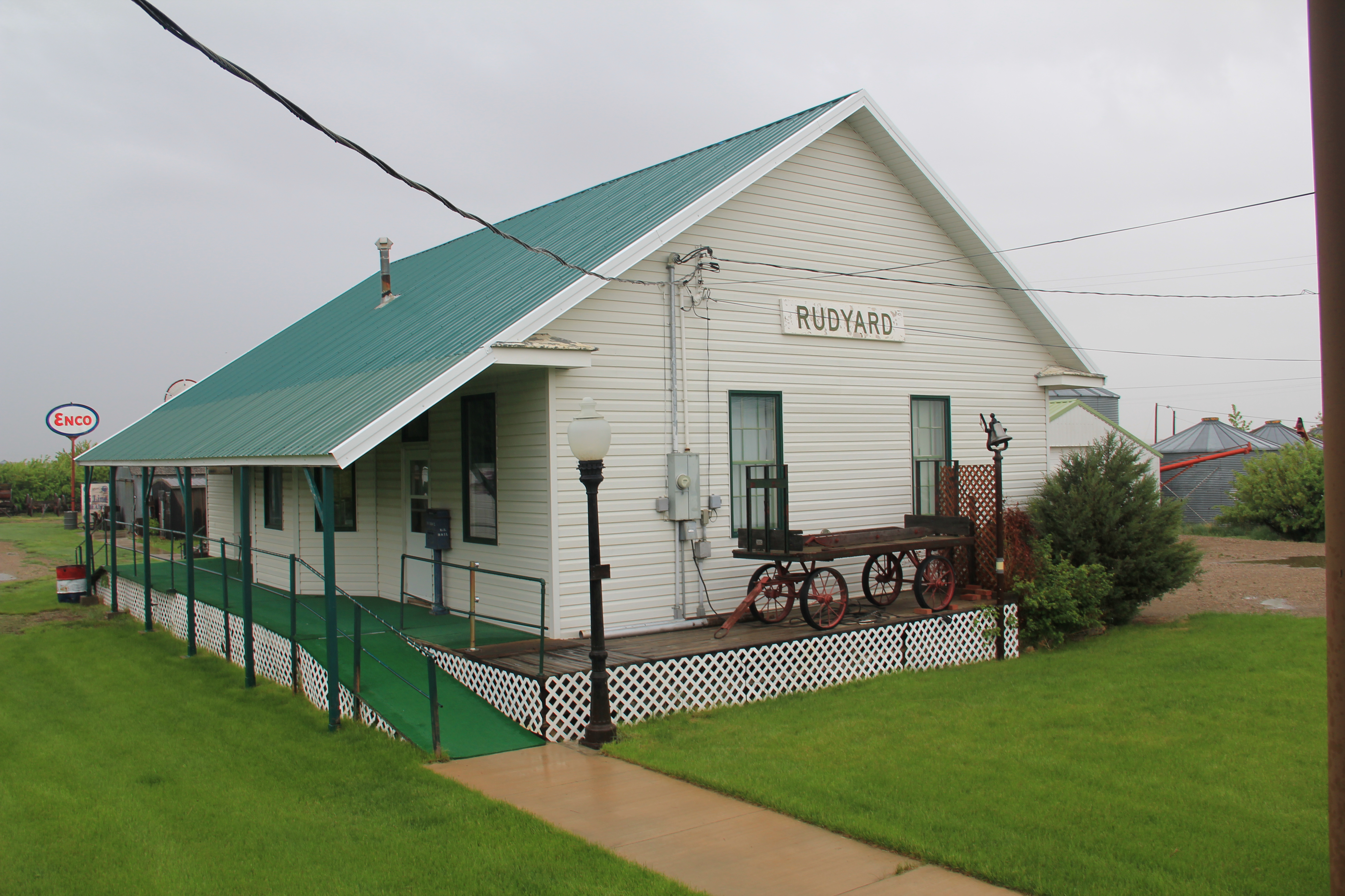
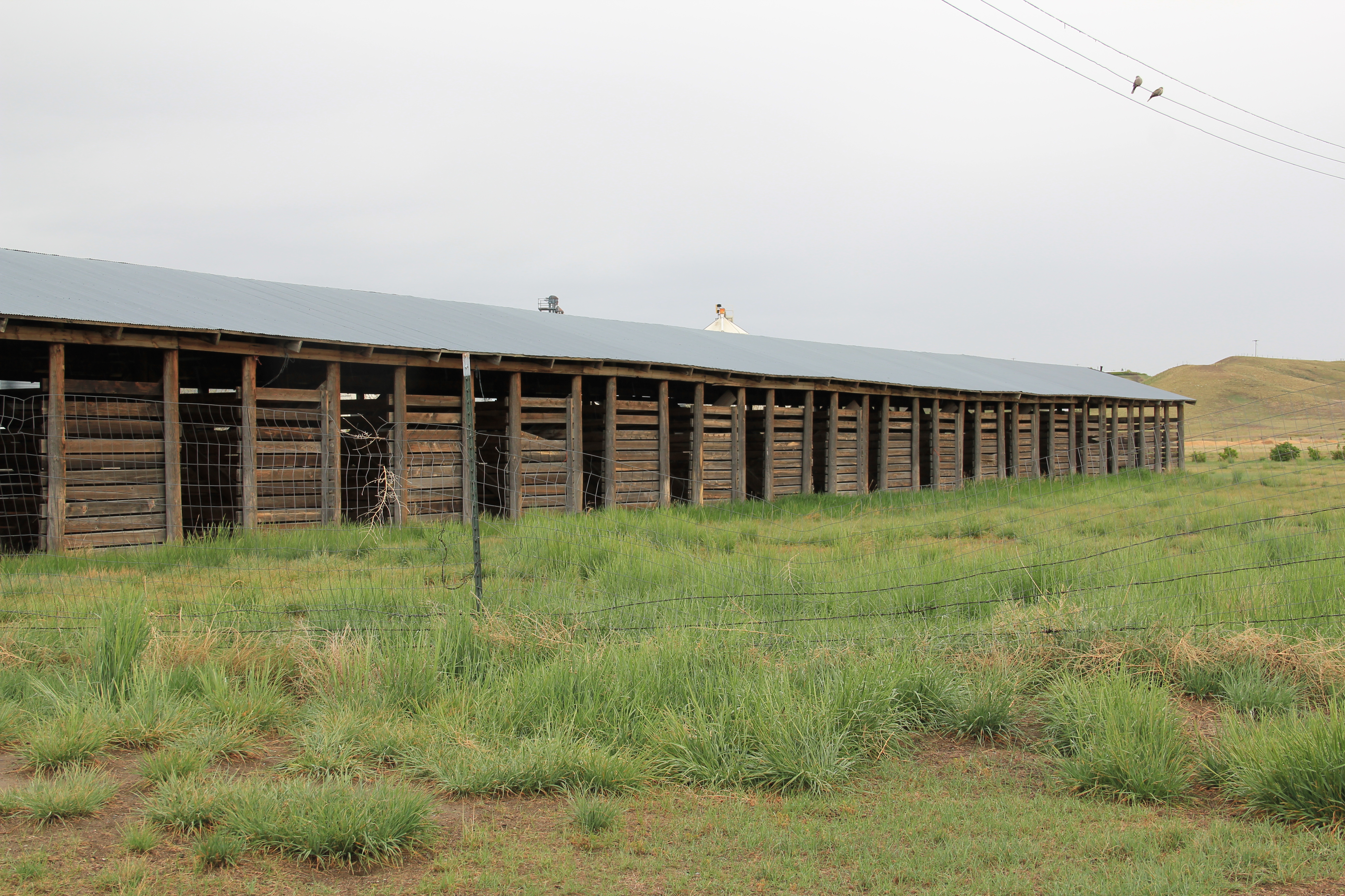
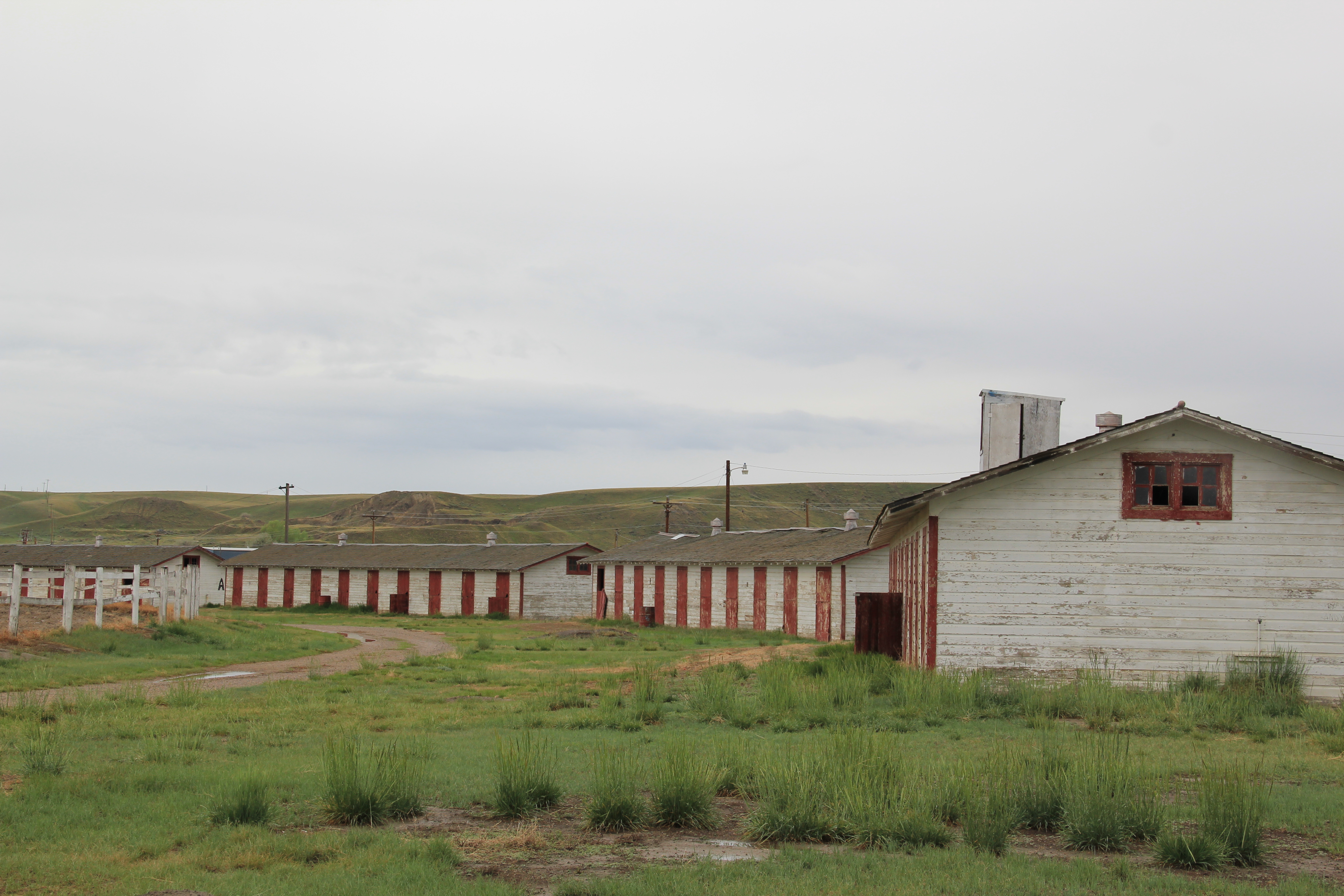
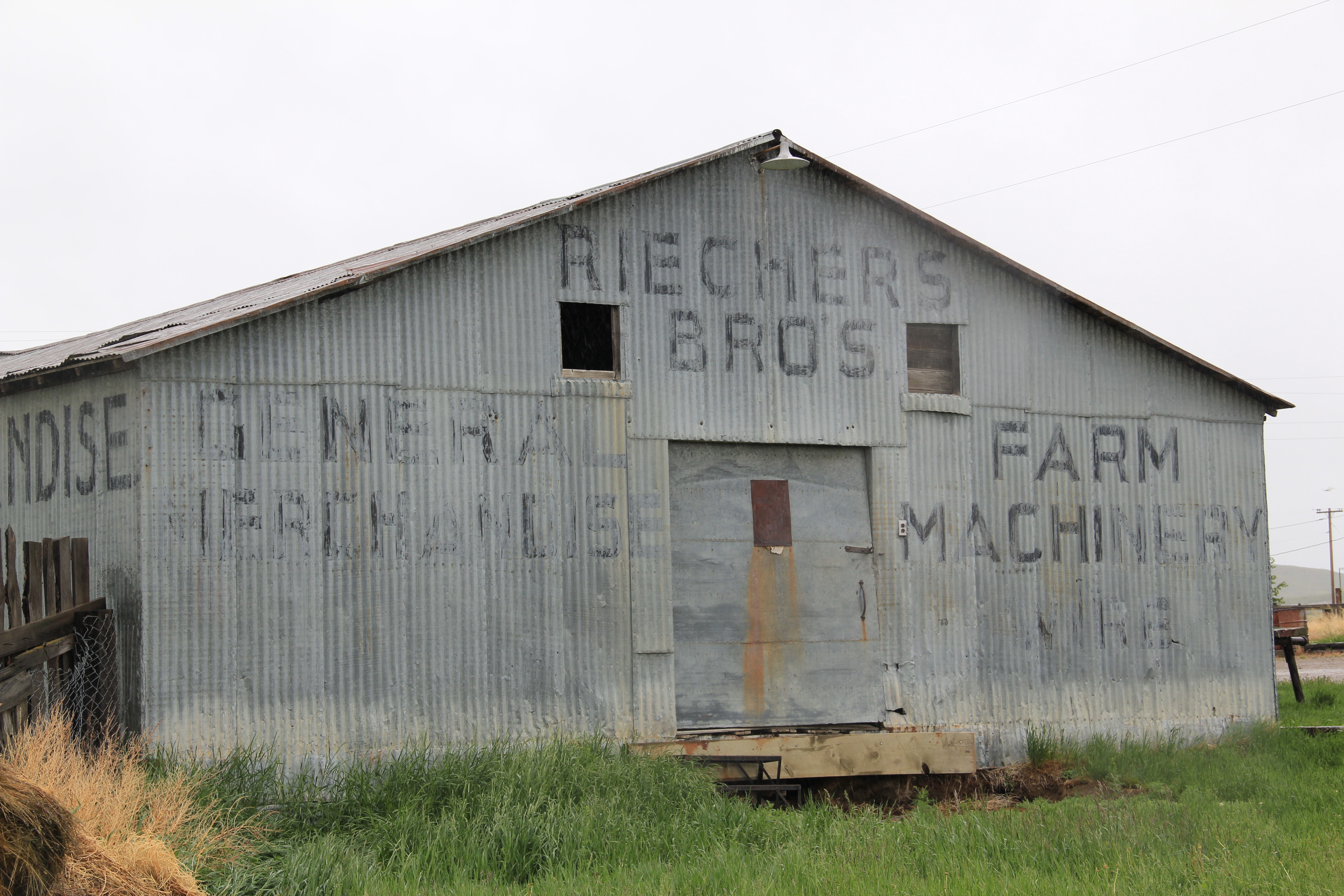
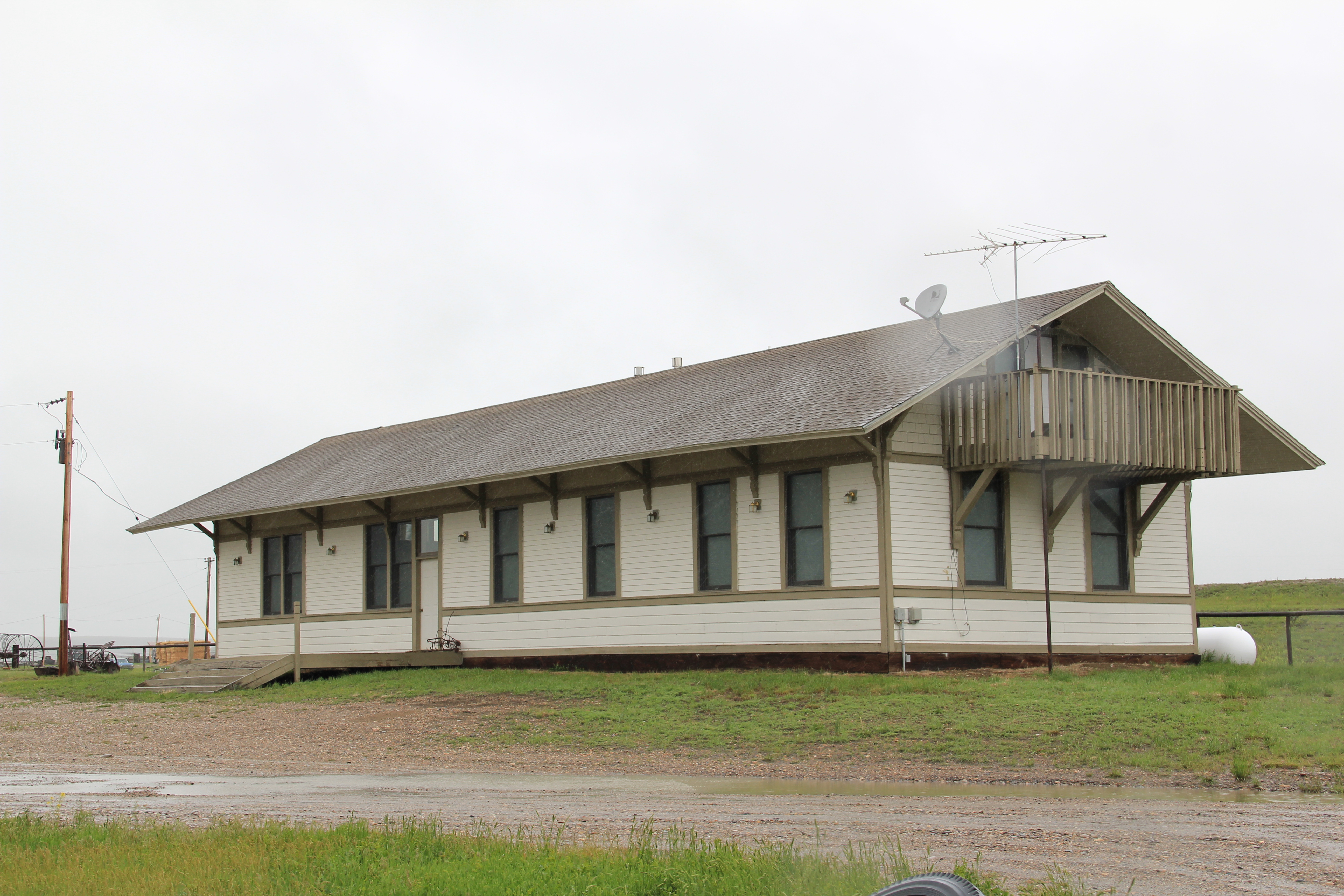
Ingomar has other historic buildings that remind you of past prominence, including a faded sign on a general merchandise and equipment store and especially the town’s extant Milwaukee Road depot, now a private residence.

Image

Image

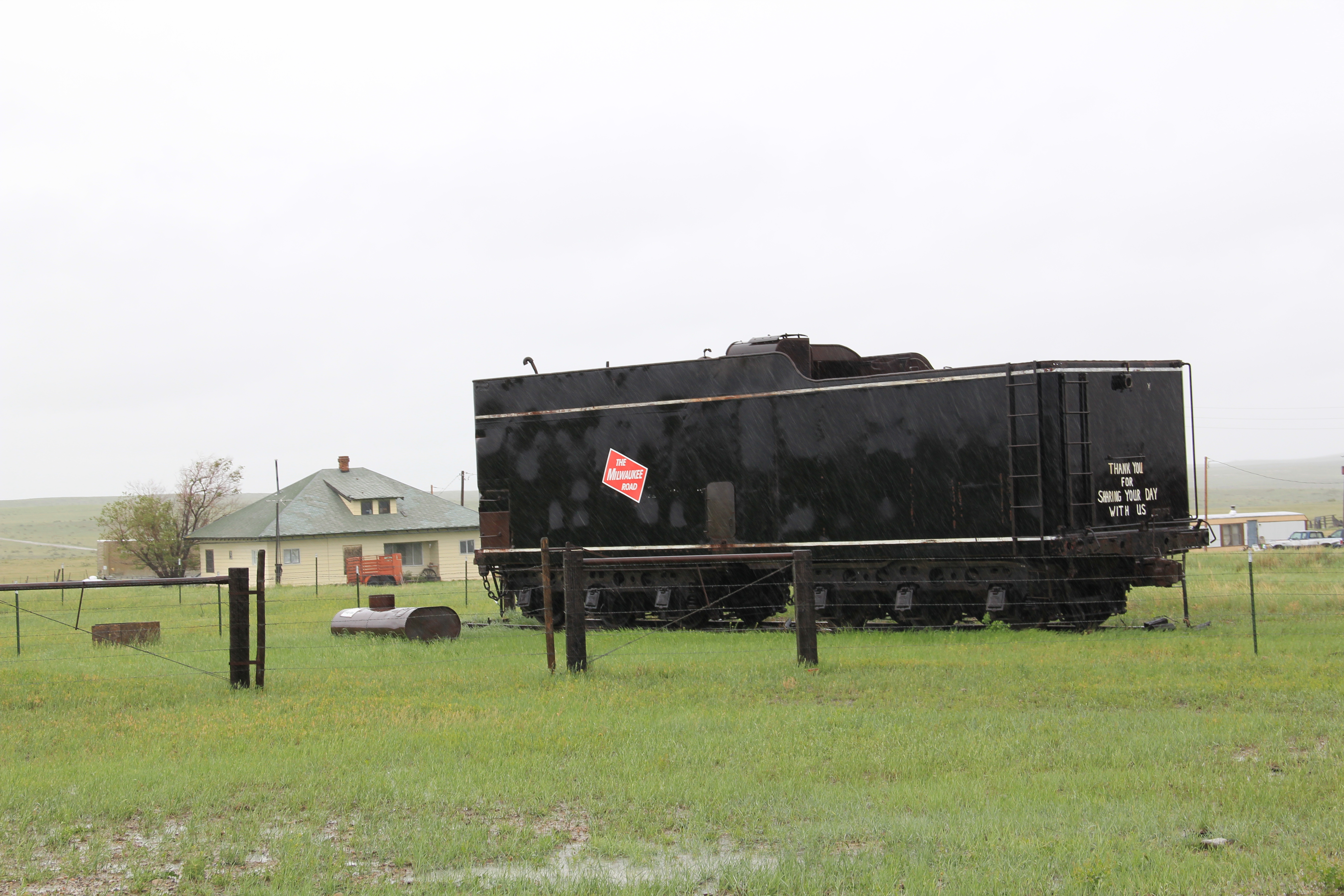
Indeed, the residents use an old train car of the Milwaukee Road to identify its roots in the railroad age–good thing since the tracks long disappeared here after the Milwaukee went bankrupt over 30 years ago.

Image


Despite its isolation, and the bust of the railroad, Ingomar has lasted better than many towns of the homesteading era.  Give thanks to local residents who won’t let the town wither away and especially to the Jersey Lilly, one of the state’s most rural National Register properties but certainly one of the places you want to visit along the “montinental divide.”

Image

Looking at the “Montinental Divide”: Broadview, Montana

I hope you saw a great story in this week’s Great Falls Tribune about the “montimental divide.”  It is a phrase coined by Doug Habermann of Montana State Parks, to discuss the landscape of eastern Montana created by the divide between the drainages of the Missouri and Yellowstone river.  Don’t want to steal the Tribune’s and Habermann’s thunder, so I encourage you to look up the article.  I am going to riff on some of the places Habermann outlines along the divide–especially the small towns and rural landscapes.  I fully agree–and many of you know I have said so for many years–that eastern Montana has many special places and compelling landscapes.  That is why I so enjoyed the article–Habermann and the Tribune highlighted places that often get forgotten when folks speak of the Big Sky Country.

Let’s start with one of the towns that many Montanans speed by–at least those in Billings heading north to central Montana via Montana Highway 3.  Broadview was one of the railroad towns created in northern Yellowstone County once the Great Northern Railway took control of the state’s railroad lines at the turn of the last century.  This image of a Burlington Northern Santa Fe train heading to Billings just south of Broadview.

Image


In the fall of 1990 James J. Hill of the Great Northern announced plans to build the Great Falls and Billings Railway that would connect the Great Northern and the Northern Pacific Railroad and then connect both lines to the Chicago, Burlington, and Quincy in Billings.   Finally the city would have that northern rail connection businessmen had wanted since 1882-1883.  The Billings Gazette proclaimed that the new line “would soon make Billings the trade center of eastern and central Montana.” That prophecy became true–for reasons more than just the railroad line.  Broadview is now the largest of those rail towns created north of Billings in Yellowstone County.  

Image


The town’s extant, and nicely preserved, Great Northern standardized design passenger depot is a reminder of the railroad’s impact on the region.  When you pull back from the depot and take in an overview of the townscape, you see the typical traits of the region’s built environment, from the grain elevators to the small scale of the other buildings to the general symmetry of the town layout.

Image


Image


The still thriving local school, home to the Pirates, speaks to the continued vitality of the community, despite its relative proximity to Billings.  Broadwater is on the edge–of Yellowstone County and of the “montinental divide.”

Modernism in a Montana Ghost Town: St. Timothy’s at Southern Cross

Southern Cross is a Montana ghost town located in the mountains overlooking Georgetown Lake.  Established c. 1880 and active until World War II, the town retains several historic structures, from a historic boarding house to individual residences to ramshackle mining buildings.

Image


Image


Image


But there is also one of the most interesting examples of Montana 1960s modernism on the edge of the town:  St. Timothy Memorial Chapel.  This contemporary styled mix of native stone, timber, and geometric angles dates to 1965. It was built as a community church, in memory of Timothy Dillon Bowman by his parents John W. and Crete Dillon Bowman.

Image


Timothy Bowman had died in 1956, and his parents picked out a beautiful view of Georgetown Lake for the chapel site.

Image


The building has changed very little since its construction almost 50 years ago and the county has few churches, really buildings of any sort, that compare with its modern Rustic styling.

Image


Image


Image


The Washoe Stack at Anaconda

Image


As a 20th century industrial landscape, Anaconda has few peers in Montana, or even the west.  I want to share that landscape in a series of posts that highlight both the well-known and the not so well known properties of the town.  

Even as a neophyte to Montana’s history, I understood the significance of the news that the smelter was closing in Anaconda in the early 1980s.  I had already taken images of the town’s most defining landmark–the Washoe Stack–and I soon went to Anaconda to take more because no doubt the end of the company meant major change–and many of my friends thought it meant the end of the town itself.Image

The stack dominates the Deer Lodge Valley moreso than any man-made structure in the state.  As I much later wrote for Drumlummon Views in 2009: the Washoe Stack was “built by the Alphonis Chimney Construction Company for the Anaconda Copper Mining Company in 1918. The stack is 585 feet high, 60 feet wide at the top with an interior diameter of 75 feet. Few industrial structures anywhere compare to it. The stack loomed over the company, its workers, its region, and its state as the Anaconda company owned and ran Montana as ‘a commonwealth where one corporation ruled supreme.'”  Historian Laurie Mercier interviewed many Anaconda residents in the 1980s.  One of her most compelling sessions came with Bob Vine.  He believed that the Company and God were all the same in Anaconda: “’Everybody would get up in the morning and they look and see if there was smoke coming out of that stack and if there was, God was in his heaven and all was right with the world, and we knew we were going to have a paycheck.’”

Image


But once the corporation closed its doors and began to scrap the smelter and its works, the stack quickly became an isolated symbol of past times.  Again, in the Drumlummon Views essay of 2009 I recalled the efforts to preserve the stack: “A community-wide effort to save the stack was launched because, in the poetic words of local union activist Tom Dickson:

ARCO save that stack, touch not a single brick

Signify the livelihood that made Anaconda tick.

Still let it stand there stark against the sky,
Like a somewhat obscene gesture catching every eye.'”

When I last visited the stack in 2012, Dickson’s wish was true.  The stack stands “stark against the sky,” no matter the vantage point.

Image


View from highway 589

Image


From the old stack walking trail and golf course

Image

From the 4-lane highway between the town and interstate

Image

And, perhaps most appropriately, from the town’s cemetery where so many of those who toiled there are buried.  The stack is a landmark of engineering achievement–yes–but it is also a landmark that reminds us of corporate impact and community persistence, and it is that later idea:  of how Anaconda remains and what it says today that I hope to explore in future posts.


The Hi-Line’s disappearing railroad depots

Earlier in the summer I discussed the rather shocking (to me at least) discovery that most of the small town railroad depots–most following a standardized design developed by the Great Northern in the early 20th century–were gone, and that seemed like a devastating loss of historic fabric along U.S. highway 2.

Today’s posting looks solely at group of towns west of Havre in Hill County–and provides a 1984 and 2013 comparison.

Image

Kremlin, 1984 and 2013

Image

Image

Hingham, 1984 and 2013

Image

Image

Gildford, 1984 and 2013

Image

Image

IMG_8953

The Rudyard depot was one of my favorite images from 1984, and I used it in A Traveler’s Companion to Montana History book a later article on the Great Northern Corridor for Montana: The Magazine of Western History.  Depots served both an aesthetic and purely corporate function for the Great Northern–their standardized design helped to brand the line and helped to define the traveler’s sense of place.  They also served as a corporate outpost–the administrative center–for distance, tiny places, like these towns in Hill County.  The Rudyard community has preserved the depot, moving it several blocks away from the railroad line, but for the other towns a crucial link to the past has been lost.

Image

Helmville and Glendale, 1984 and 2012

In my exploration of the Montana landscape, it has been very interesting to do comparative photography–what has changed in almost 30 years.  Today’s case studies are of a streetscape in Helmville, a rural village in Powell County, and the Hecla smelter stack from Glendale.

Image


Image


The wood building in the foreground had lost the shed addition, and the smaller squarish wood frame building next to it had disappeared.  But considering the nature of the building materials, the isolation of the town, and the fact that a state highway (Montana 271) passes right in front of these buildings, it is rather remarkable that so little has changed at Helmville.

The same is true of Glendale.  This isolated place in southwest Montana has changed even less than what had happened at Helmville.  The black and white view is from the May 1984–the same view from May 2012 shows that this smelter ruin is still a compelling artifact of the impact of mining and industry on the Montana landscape.

Image


Image


Great Falls’s Northern Montana State Fairgrounds

Too often we think that New Deal agencies always built in rustic style–that is what you find at the national parks, the often iconic log structures from the Civilian Conservation Corps.  But just as common—just not recognized as such–were modernist designs.  I close this month’s look at historic fairgrounds with one of the state’s best groupings of modernist buildings from the historic Northern Montana State Fairgrounds (now Expo Park) in Great Falls.  

Image

The Works Progress Administration added these buildings in 1937.  The Mercantile Building is Art Deco design at its best–linear, hard edged, and projecting elevations.  It spoke to the modern age of machinery and technology and new tools for farmers both on the ranch and in the home.

Image


Compare that to the Fine Arts Building with its sweeping curvilinear facade and projecting entrance, almost like an automobile grille from the 1930s.  The design laid claim to urban sophistication and trendy design–an appropriate statement for the “fine arts” to say in Great Falls.

Image


 Image


The Administration Building blends both Art Deco and Moderne elements into a classic International Style statement of domestic architecture.  ExpoPark is to be congratulated for its stewardship of these three buildings.  They are not typical of fairgrounds found throughout the northern counties–and differ markedly from the WPA designs for the Musselshell County Fairgrounds in Roundup, for instance.  But the three buildings speak to Great Falls’ context as a city within the plains, dependent in so many ways on the agriculture that surrounded it but still an oasis of urban life in the Depression era.


Twin Bridges’ Madison County Fairgrounds

This August, I have introduced several historic fairgrounds from the Hi-Line counties and eastern Montana to emphasize the historical importance of this community gathering spots.  I want to close this look at Montana fairgrounds with two of the best known–at Twin Bridges and in Great Falls.

Image


The Montana Historical Society has placed interpretive tablets across the state at many National Register of Historic Places properties.  For a quick overview of Madison County Fairgrounds, I am including the text of its marker:

“Early Twin Bridges offered few public gathering places, and so these fifty acres, once part of the Lott and Seidensticker homesteads, were developed as “The Park” in 1887. A “harvest home barbecue” was held that year, and two years later the event had blossomed into the first annual county fair. Early fairs were privately run and later partially supported by the county. Then, as now, the fair gave ranchers and farmers a chance to show their best produce and livestock while promoting local pride and friendly rivalry. In 1928, a depressed economy curtailed the event and in 1930 Madison County purchased the fairground property. The economy worsened during the Great Depression until 1934, when more than half Madison County’s workforce was unemployed. In 1935, the federal Works Progress Administration (WPA) approved funding assistance for the rebuilding of the unused fairground. Construction began in 1936, putting a great number of unemployed residents back to work.”

Image


“WPA engineer C. D. Paxton drew the plans and Tosten Stenberg, well known for his log structures in Yellowstone Park, directed construction. Local foreman Fred Sommers was brought out of retirement with a special waiver from Washington to supervise the project. Lodgepole pine, fir logs, and other building materials were gathered locally and prepared by workers on site. When the project was completed in 1937, seven masterfully crafted new buildings and one remodeled 1890s structure lent new significance to the traditional fairground. Today the collection of buildings is architecturally significant for its fine design as well as historically important for its WPA construction using entirely local materials and labor.”

The interior spaces of these buildings remain awesome public spaces, and were in use for a local auction the day I visited in May 2012.

Image

Image

Image

Image

Image


The fairgrounds also includes a memorial and interpretive markers about Sacajawea and the Lewis and Clark Expedition that were installed in honor of the Lewis and Clark Bicentennial in 2033-2006.

Image

The Hi-Line’s Marias Fairgrounds in Shelby

The Marias Fairgrounds, host to a four-county fair every July, is located on the southside of U.S. Highway 2 on the eastern edge of Shelby, the county seat of Toole County.  The fairgrounds are also immediately south of the Great Northern Railway line.  The fair dates to c. 1941, and the fairgrounds has a blend of mid-century buildings with new facilities.

Image


Image


Livestock barns and stalls dominate the fairgrounds, as you would expect in this region.  

Image


Image


Two buildings are particularly noticeable from the highway.  The false front of the Mercantile Building recalls the earliest frame structures built along the railroad line in Shelby.

Image


Outside of the grandstand, the fairgrounds’s dominant landmark is the two-story with cupola Dunkirk School, which was moved to the fairgrounds to serve as an exhibit building for 4-H and other youth groups, certainly a very appropriate adaptive re-use of this early 20th century historic building.

Image


Terry’s Prairie County Fairgrounds

Image


For more than 75 years residents of Prairie County have come every summer to Terry for the annual county fair.  The fairgrounds are located north not only of I-94 but also old U.S. Highway 10 and then even to the north of that, along the abandoned almost disappeared railroad bed of the Milwaukee Road.  The Milwaukee crossed the mainline of the Northern Pacific Railway at Terry, and entrepreneurs tried to create a new commercial corridor facing the Milwaukee tracks, which stood just north of the dominant route of the Northern Pacific.  Those plans never panned out, except for the fairgrounds.  The barns, grandstands, and other buildings developed along the Milwaukee line and there they remain today.

Image


Image


Image


Image


ImageT

With its intact setting, the fairgrounds is actually now one of the few fully extant properties along the old Milwaukee line in this part of Montana.  Like in other rural counties, the buildings are nothing spectacular but don’t let their plain, white appearance deceive you:  here is the one of the most important annual community places in the county.